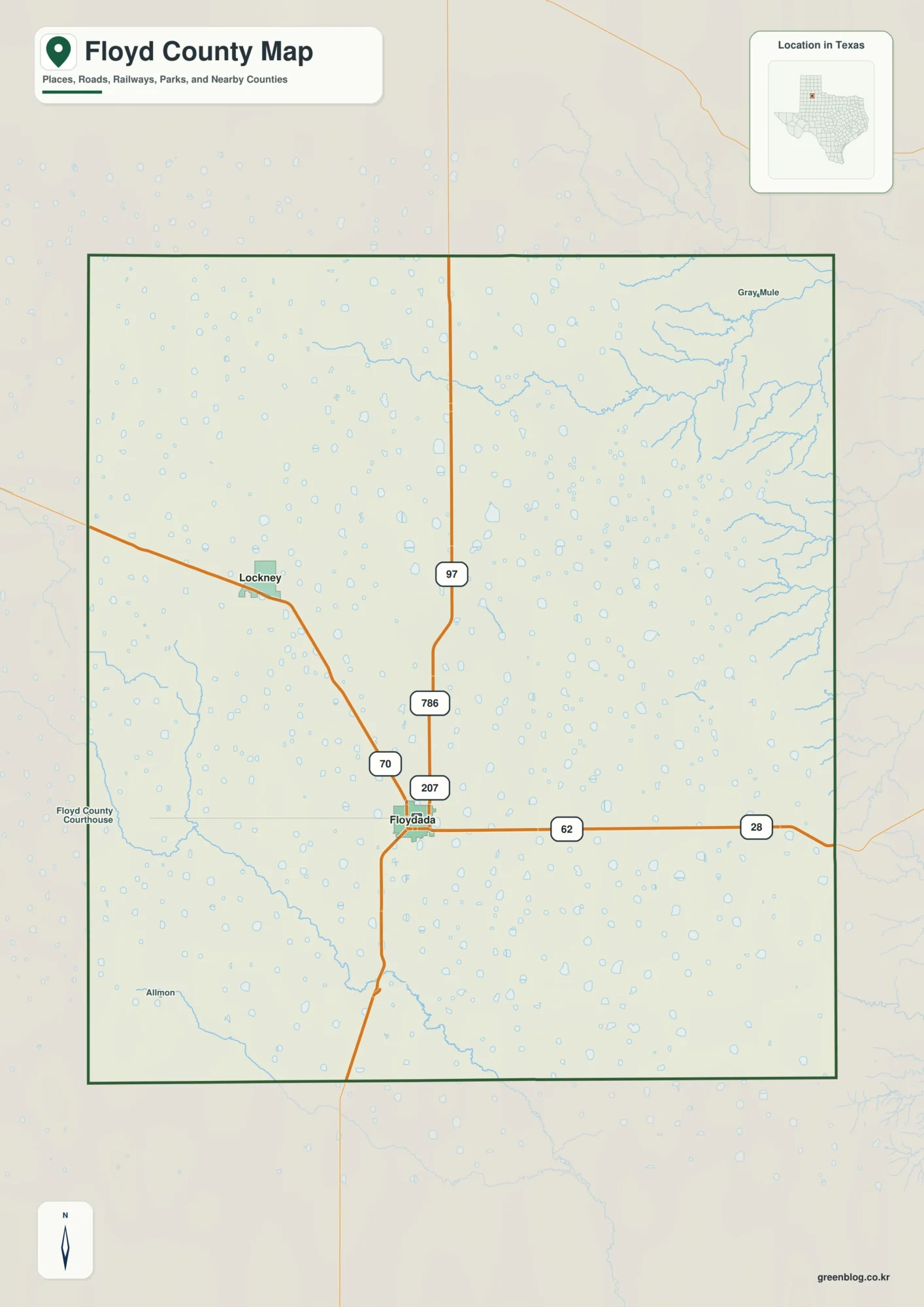
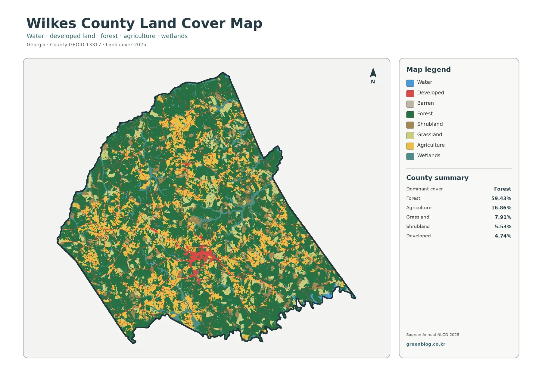
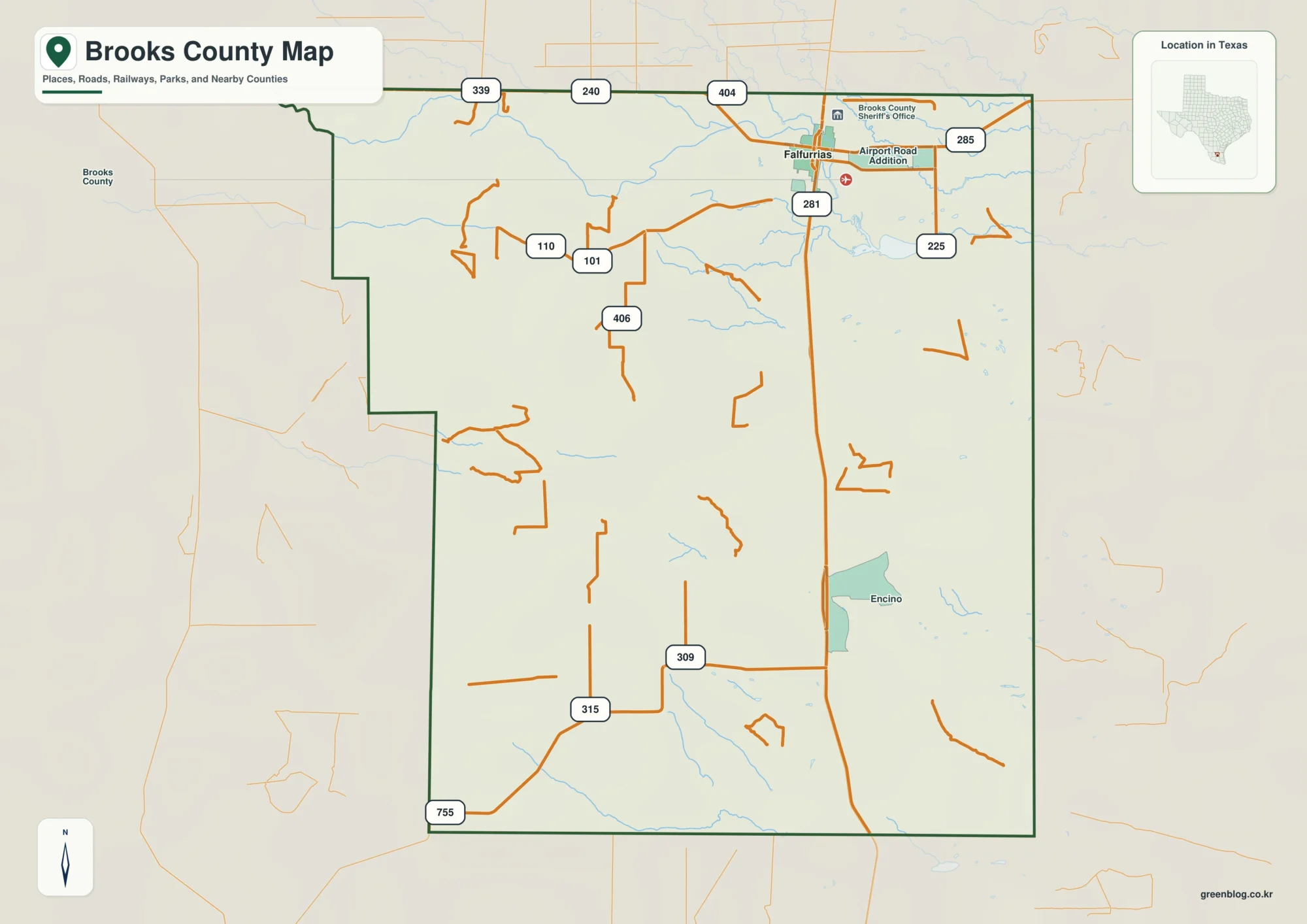
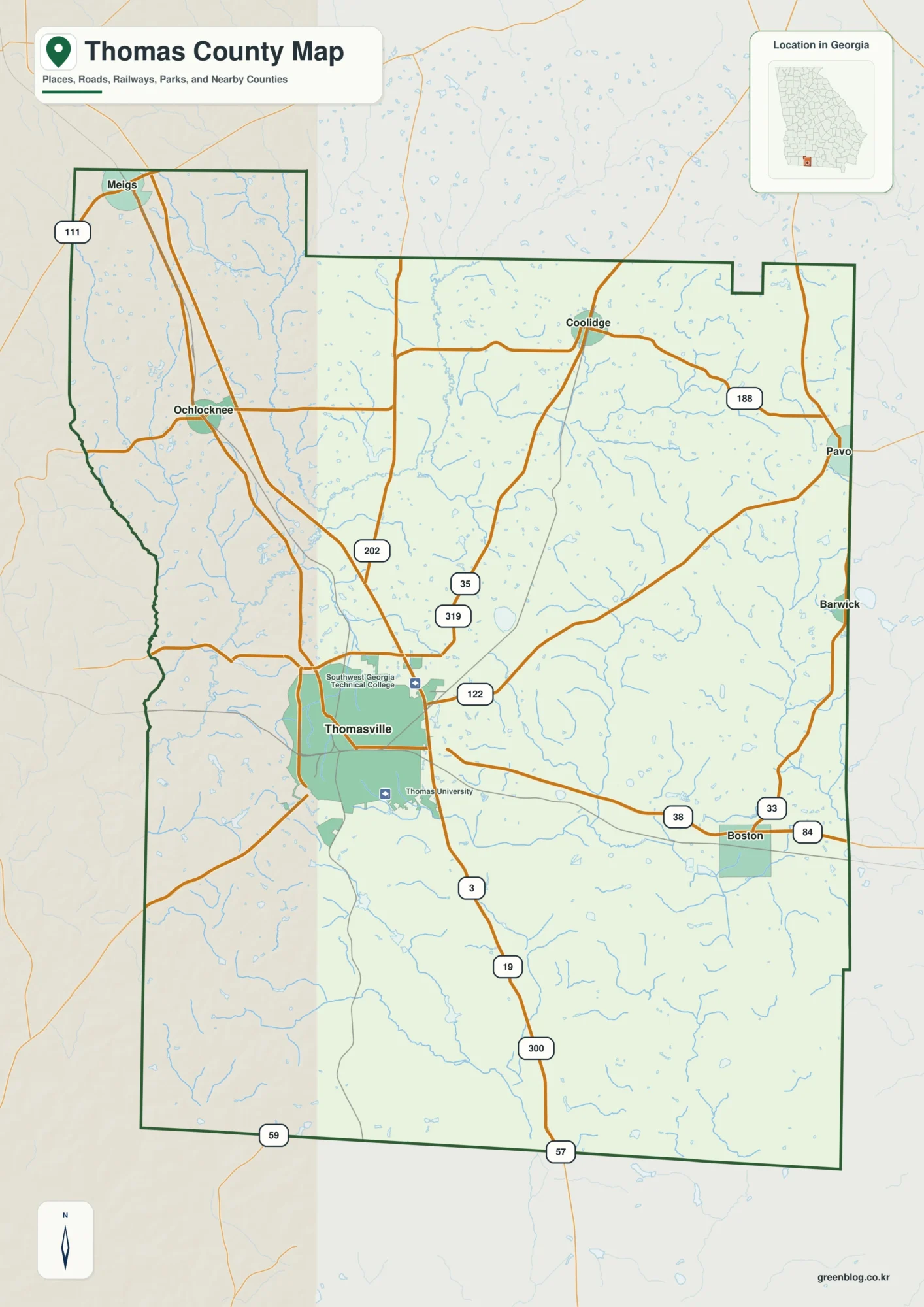
Download the high-resolution A3 JPG files for this Darlington County Map in one ZIP archive. The WEBP previews on the page show the same three views at a convenient screen size: a county map with roads and places, a city-connections map, and a terrain-and-water map. Together they make it easy to compare Hartsville, Darlington, Lamar, and Society Hill with the numbered highways and the network of creeks, lakes, and millponds that cross the county.
Darlington County does not read as a one-center map. Hartsville occupies the western side, Darlington is farther east, Lamar sits well to the south, and Society Hill is near the northern edge. Smaller labels such as North Hartsville, Dovesville, Lydia, and Pine Ridge fill in the spaces between those larger points. When the roads are removed on the water map, Black Creek becomes a strong north-to-southeast reference and the many named ponds and tributaries show another side of the same county.
Table of Contents
From Hartsville to Darlington: two road-focused reference points
The general county map is easiest to understand by starting at Hartsville. Route shields for 15 and 151 appear around the city, while 102 runs northward and 34 crosses the county toward Darlington. Farther east, Route 52 provides a strong north-south line through the Darlington area. The map also marks 95 on the eastern side. These roads do not show every local street, but they make the broad connections between the county’s main places much clearer than an outline alone.
South of the Hartsville–Darlington area, the route pattern changes. Lamar lies near Route 20 and 401, while 403 and 340 are marked farther east and northeast of Lamar. That gives the southern part of the county its own set of road references rather than simply extending the Hartsville grid downward. A reader can follow the numbered roads to see how the western, central, eastern, and southern parts of the county connect without mistaking the map for a navigation product.
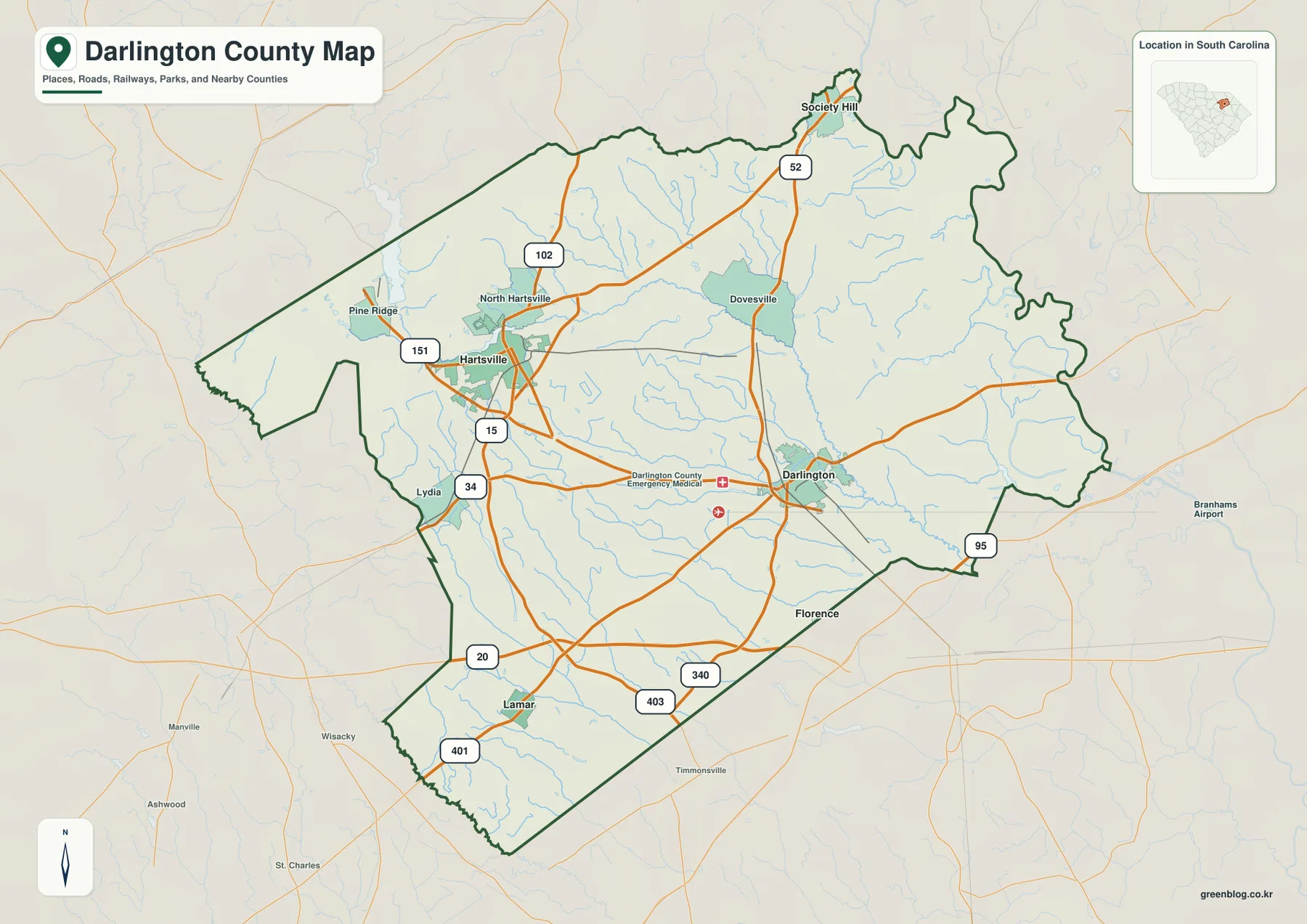
The map also includes several outside labels that help with orientation, including Florence and Timmonsville to the south and southeast and smaller surrounding names at the edges. They are useful only as reference points. The main story is inside the dark county boundary: Hartsville and Darlington form separate road-focused centers, Lamar anchors the southwest, and Society Hill sits near the narrow northern end. That arrangement is distinctive enough that the county can be recognized by the positions of those four places alone.
Hartsville as the hub, with three cities in different directions
The city-connections map simplifies the background and makes the four main labels easier to compare. Hartsville is identified as the hub, Darlington is shown about 14 miles away in a direct-distance reference, Lamar is also about 14 miles from Hartsville, and Society Hill is about 17 miles away. Those numbers are not driving distances; they are map-based straight-line references meant to show how the cities are spaced. The pattern is more important than the numbers themselves: Darlington lies to the east, Lamar to the south, and Society Hill to the north.
This layout explains why using only Darlington or only Hartsville as a county reference can be misleading. The two largest-looking city labels occupy different sides of the county, while Lamar and Society Hill extend the map in opposite directions. Hartsville is convenient as a hub because it sits close to the western road network, but the county reaches well beyond it. The city map therefore works best as a location comparison rather than as a ranking of city importance.
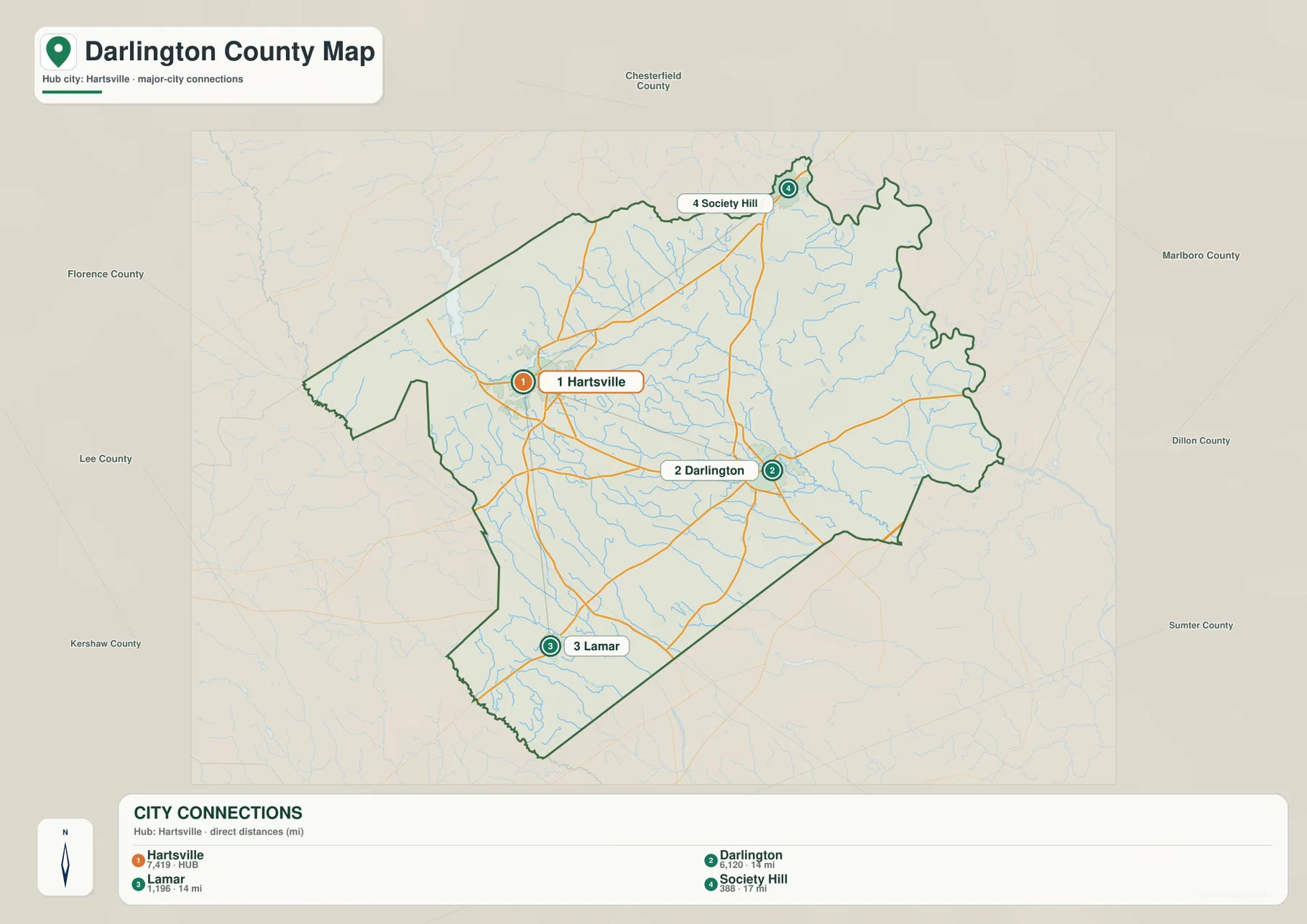
Around the outside of the city map, county names such as Chesterfield, Marlboro, Dillon, Sumter, Kershaw, Lee, and Florence provide regional context. They show how Darlington County fits among the neighboring counties of northeastern South Carolina. Still, the most useful visual cue is the internal four-point arrangement. If you remember Hartsville on the west, Darlington to the east, Lamar to the south, and Society Hill to the north, the county’s shape becomes much easier to picture.
Black Creek, Lake Robinson, and a county full of smaller water features
The terrain-and-water map changes the emphasis completely. Black Creek is the easiest named waterway to trace because it runs from the north-central area toward the southeast. Buckholtz Creek appears farther northeast, Swift Creek crosses the central-southern part of the county, and Jeffries Creek and High Hill Creek are labeled farther south. Rather than following road corridors, the eye follows blue lines that divide and reconnect across the county.
The western half contains several named lakes and millponds. Lake Robinson is prominent near the upper-left portion of the county, with Beaverdam Millpond and Prestwood Lake nearby. Chapmans Pond and Jeffords Millpond appear closer to the center, while Ramsey Pond, Harrells Millpond, and Bay Lake are farther south. This mix of creeks and smaller standing-water features gives the map far more detail than a simple county boundary or city map can show.
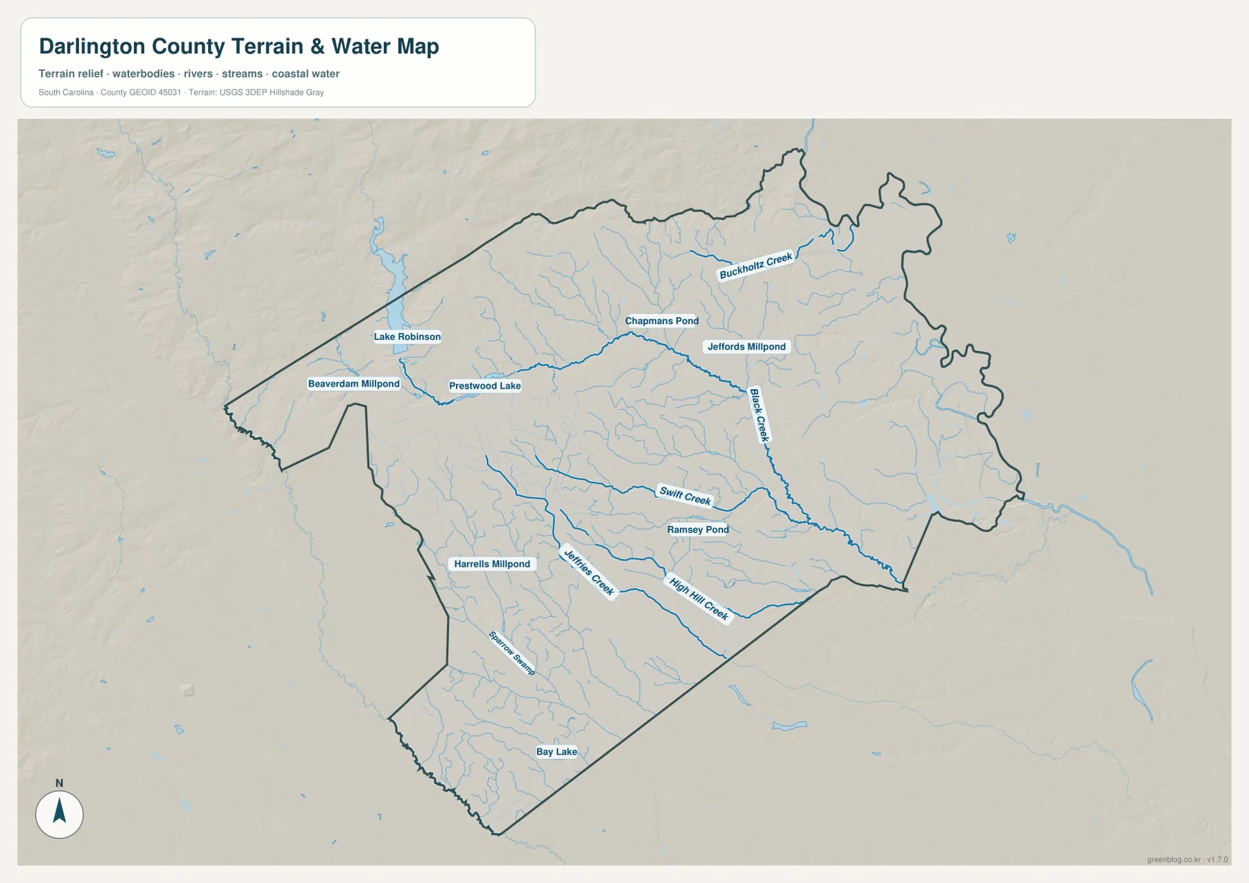
Sparrow Swamp is also labeled in the southwestern part of the map. From that area toward Bay Lake, many smaller blue lines spread through the lower county. A practical way to use the map is to locate Black Creek first, then compare the positions of Buckholtz, Swift, Jeffries, and High Hill creeks. Once those larger named lines are clear, Lake Robinson and the various ponds become much easier to place. The map does not require specialized GIS knowledge; the named features themselves provide enough structure for ordinary readers.
Which map answers the question you actually have?
Each supplied file is strongest for a different task. The general county map is the best starting point for Hartsville, Darlington, Lamar, Society Hill, and the numbered road network. The city-connections view is cleaner when the question is simply where the four cities sit relative to one another. The water map is the obvious choice for Black Creek, named tributaries, Lake Robinson, and the cluster of ponds and millponds. Using the correct view avoids forcing too much information into a single image.
| General county map | Major roads, Hartsville, Darlington, Lamar, Society Hill, smaller place labels, and county boundary |
|---|---|
| City-connections map | Hartsville hub with Darlington, Lamar, and Society Hill positioned by direct-distance references |
| Terrain and water map | Black Creek, named tributaries, lakes, millponds, ponds, and swamp features |
For printing, the downloadable A3 JPGs are better suited than the smaller WEBP previews. A road-focused handout can use the general map alone, while a geography lesson on waterways can use the water map without the distraction of highway shields. For a county profile, placing the three files next to one another shows how the same boundary can look very different depending on whether roads, settlements, or water features are emphasized.
- Use the general map to follow the Hartsville–Darlington connection and locate Routes 34, 52, 15, 20, and other numbered roads.
- Use the city map to compare why Lamar lies south of Hartsville while Society Hill is near the northern edge.
- Use the water map to trace Black Creek first, then add Buckholtz, Swift, Jeffries, and High Hill creeks.
- Look for Lake Robinson, Prestwood Lake, Chapmans Pond, and other named water features when you need more than a road or city overview.
Details that make Darlington County recognizable on these maps
The strongest county-specific pattern is the separation between the western Hartsville area and the eastern Darlington area. They are linked by roads, but neither sits at the geometric center of every other feature. Lamar pulls the mapped settlement pattern southward, while Society Hill extends it northward. That gives the county a four-direction structure that is easy to remember and different from pages where nearly every major place clusters around one town.
The water map adds another recognizable pattern. Lake Robinson, Beaverdam Millpond, and Prestwood Lake are grouped toward the western side, while Black Creek runs through the middle and toward the southeast. Smaller named features such as Chapmans Pond, Jeffords Millpond, Ramsey Pond, and Harrells Millpond fill gaps between the larger creek lines. This spread of ponds and creeks gives the county a detailed water network that is worth seeing separately from the road map.
Putting the maps together also reveals that the strongest human and natural connections do not follow the same direction. Roads link Hartsville and Darlington and branch toward Lamar and Society Hill, while Black Creek and its tributaries cut across the county on a different path. That contrast is useful because it helps readers understand the county without relying on abstract geographic language. The maps show where the towns are, how the main roads connect them, and where the named water features lie.
Frequently Asked Questions
Should I use Hartsville or Darlington as the main reference point?
Use both when possible. Hartsville is the hub on the city-connections map and is a strong road reference on the western side, while Darlington provides the main eastern reference. Once those two are located, Lamar to the south and Society Hill to the north make the full county layout much easier to understand.
Why is Black Creek the easiest water feature to start with?
Black Creek is one of the longest and most clearly labeled blue lines on the supplied water map, running from the north-central part of the county toward the southeast. Starting there makes it easier to place Buckholtz Creek to the northeast and Swift, Jeffries, and High Hill creeks farther south, along with the nearby lakes and ponds.
What is included in the downloadable ZIP?
The ZIP includes three high-resolution A3 JPG files matching the WEBP previews in the article: the general county map, the city-connections map, and the terrain-and-water map. The JPGs are the better choice for printing or placing a larger map in a document, while the WEBP previews are intended for quick viewing on the page.
Map File Information
The download ZIP contains the three Darlington County maps shown on this page as high-resolution A3 JPG files: the general county map, the city-connections map, and the terrain-and-water map.
- Included Files: 3 high-resolution A3 JPG maps described on this page
- File Type: JPG files in a ZIP archive
- Intended Use: Printing, education, presentations, and map-based projects
Related Maps
Sources and Reference Data
The place names, route shields, creeks, lakes, and ponds discussed above are based on the supplied Darlington County map images. The official links below provide authoritative references for county information, boundaries, hydrography, and South Carolina physical geography.
- South Carolina Association of Counties – County Information: county information reference
- SCAC County Directory Pages: county administrative reference
- U.S. Census Bureau TIGER/Line Shapefiles: county boundaries and geographic data
- USGS National Hydrography: rivers, streams, lakes, and waterbody reference data
- South Carolina Geological Survey: statewide physical-geography and geology reference
Green Map creates custom-edited map images using open geographic data sources such as geoBoundaries, Natural Earth, OpenStreetMap, and government open data.
These maps are edited visual materials, not raw data files, and are provided for education, documents, presentations, and graphic reference.