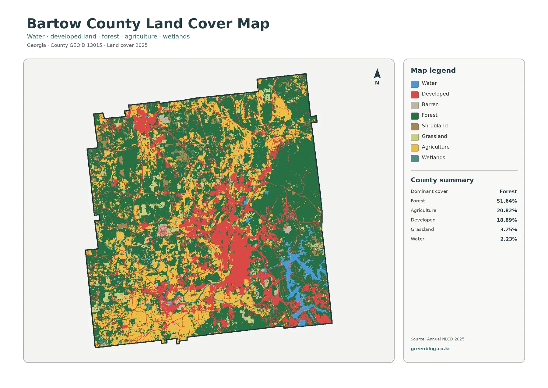
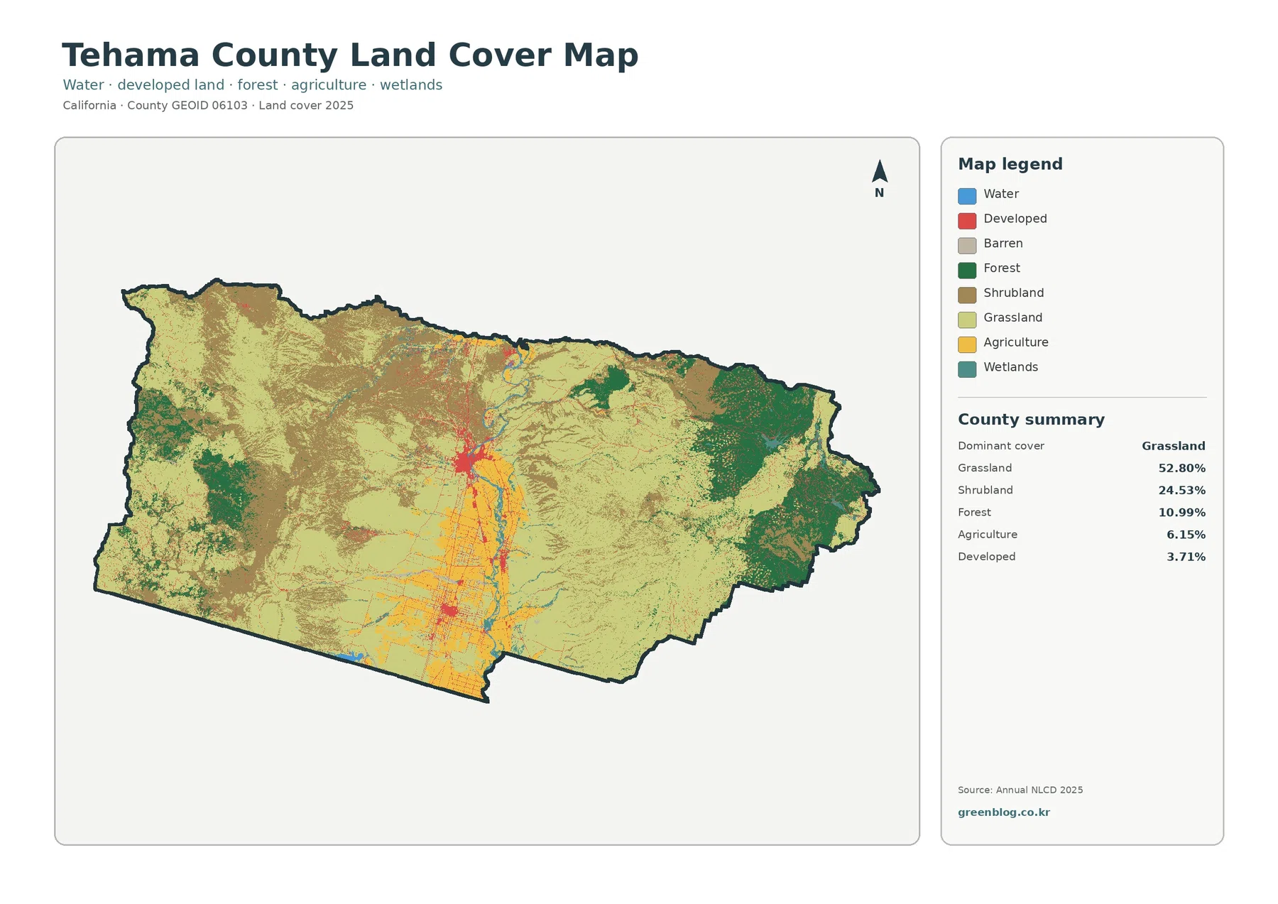
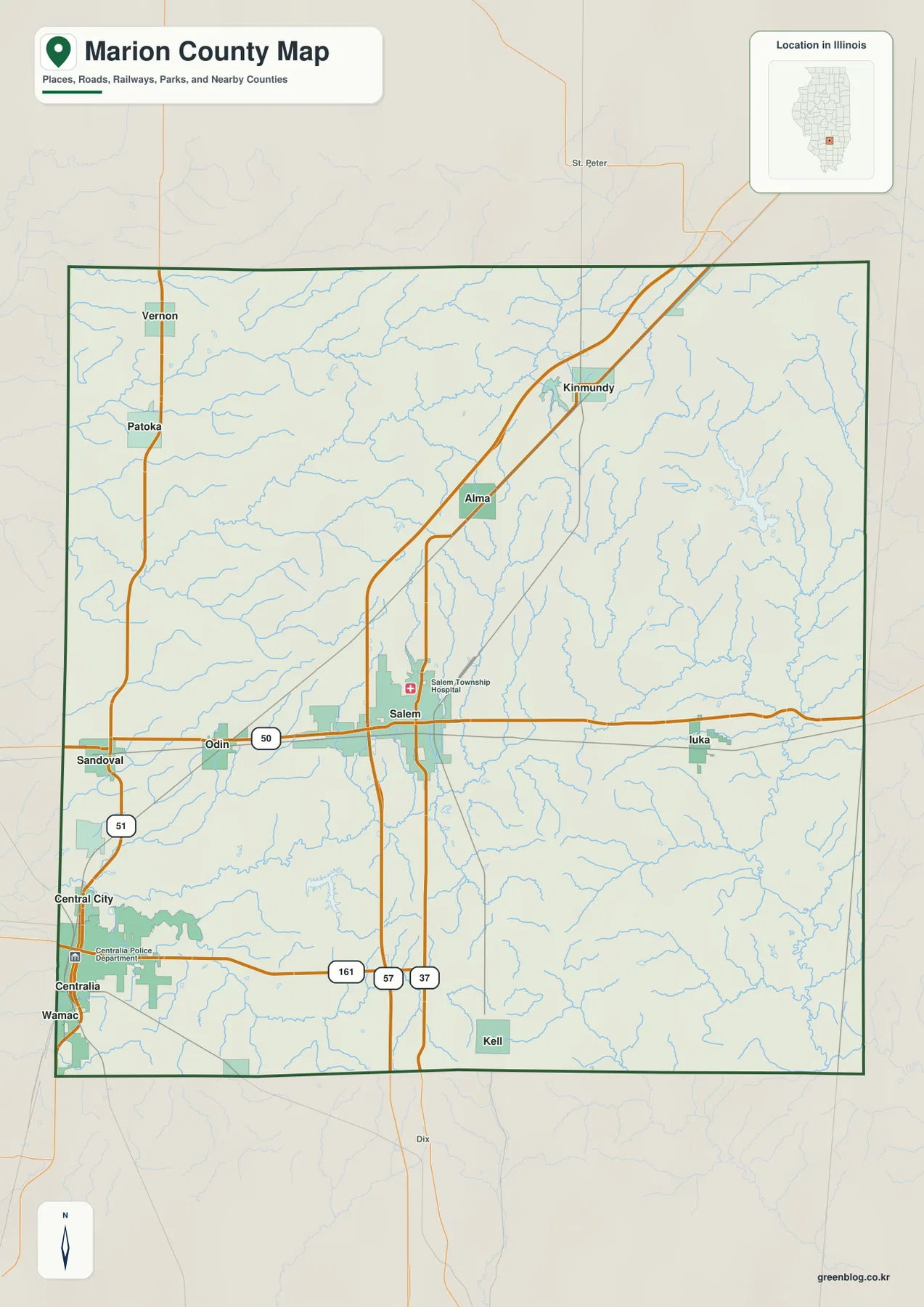
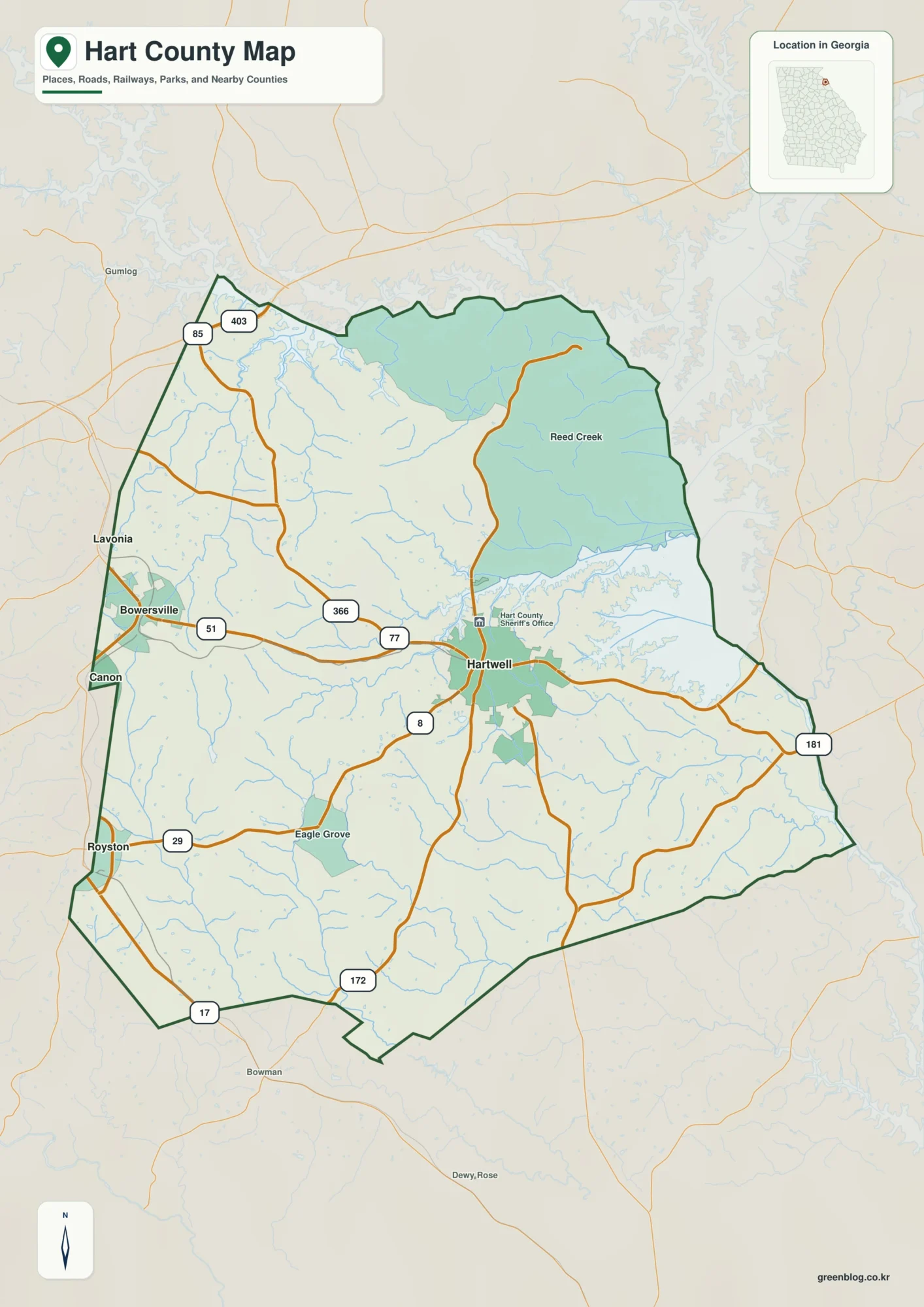
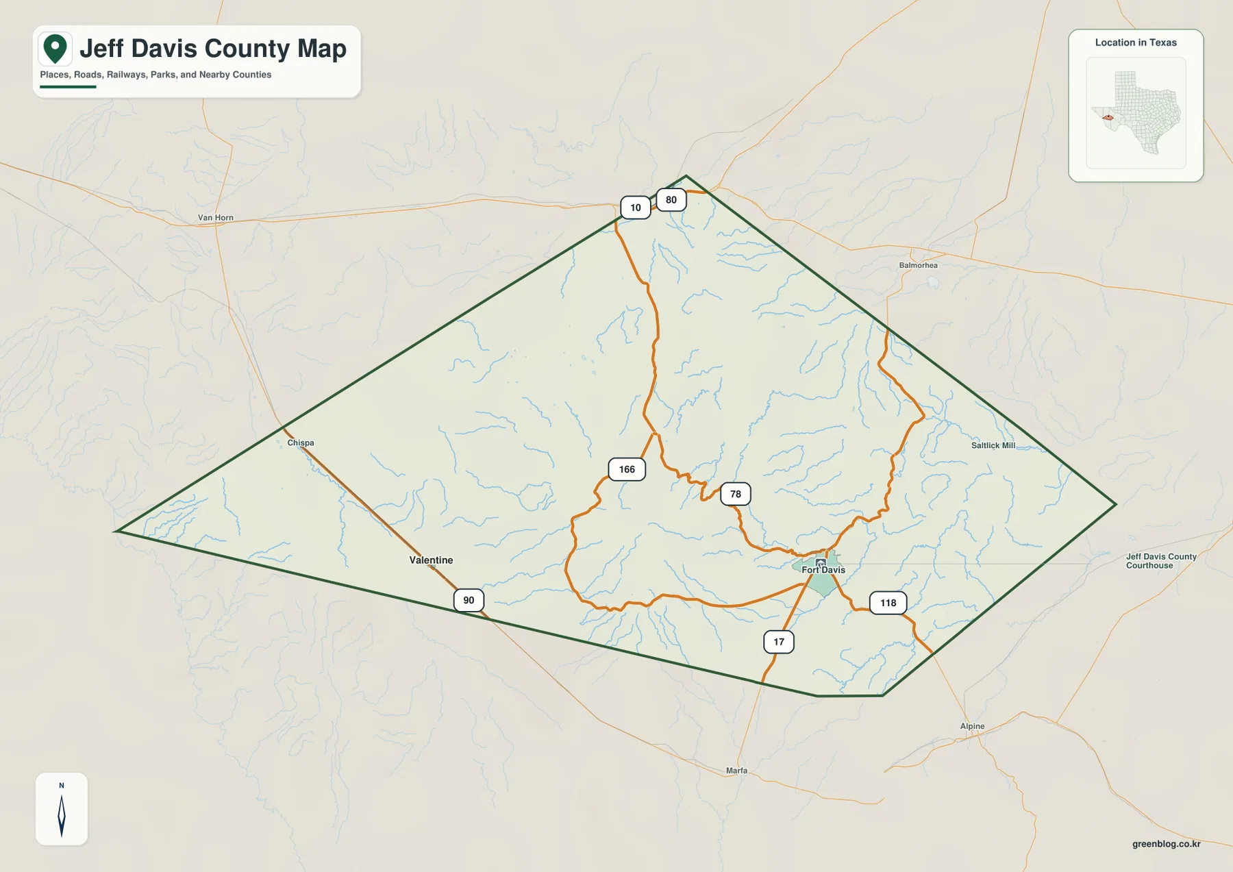
Jeff Davis County is one of the clearest places in Texas to see how a county map changes when mountains replace broad, nearly level plains. Fort Davis sits among the Davis Mountains, while Valentine lies far to the west beside U.S. Highway 90 in much more open terrain. The maps on this page show the county boundary, roads and communities, the city index, named streams and water features, and the county’s pronounced elevation differences. High-resolution JPG versions of the county, city, water, and elevation maps are also available together in the download box below.
A good way to begin is to locate Fort Davis and Valentine, then compare what surrounds them. Fort Davis is framed by ridges, canyons, and mountain roads. Valentine is separated from it by a long stretch of sparsely settled country and sits closer to the lower western side of the county. That contrast is visible in the road map, becomes clearer in the terrain-and-water map, and is unmistakable on the elevation map.
Table of Contents
Fort Davis and Valentine define two very different parts of the county
Fort Davis is the county seat and the main geographic reference for the southeastern part of Jeff Davis County. State Highway 17 reaches the community from the Balmorhea direction to the north and continues south toward Marfa, while State Highway 118 approaches from the north through the mountains and continues toward Alpine. State Highway 166 forms another important route around the mountain country west and north of Fort Davis. These roads do not create a dense urban grid. Instead, they connect a small number of communities and destinations across long distances where relief strongly influences the available paths.
Valentine appears much farther west, along U.S. Highway 90 and the railroad corridor. On the general county map it is easy to see how different this location is from Fort Davis. The land around Valentine looks broad and comparatively open, while the Fort Davis side of the county contains tighter drainage lines and more irregular road shapes. The distance between the two places is important because it prevents the county from reading like a single built-up area. The map instead shows a large West Texas county where a few communities are separated by ranch land, desert terrain, mountain slopes, and long connecting roads.
Why the city index highlights Valentine instead of Fort Davis
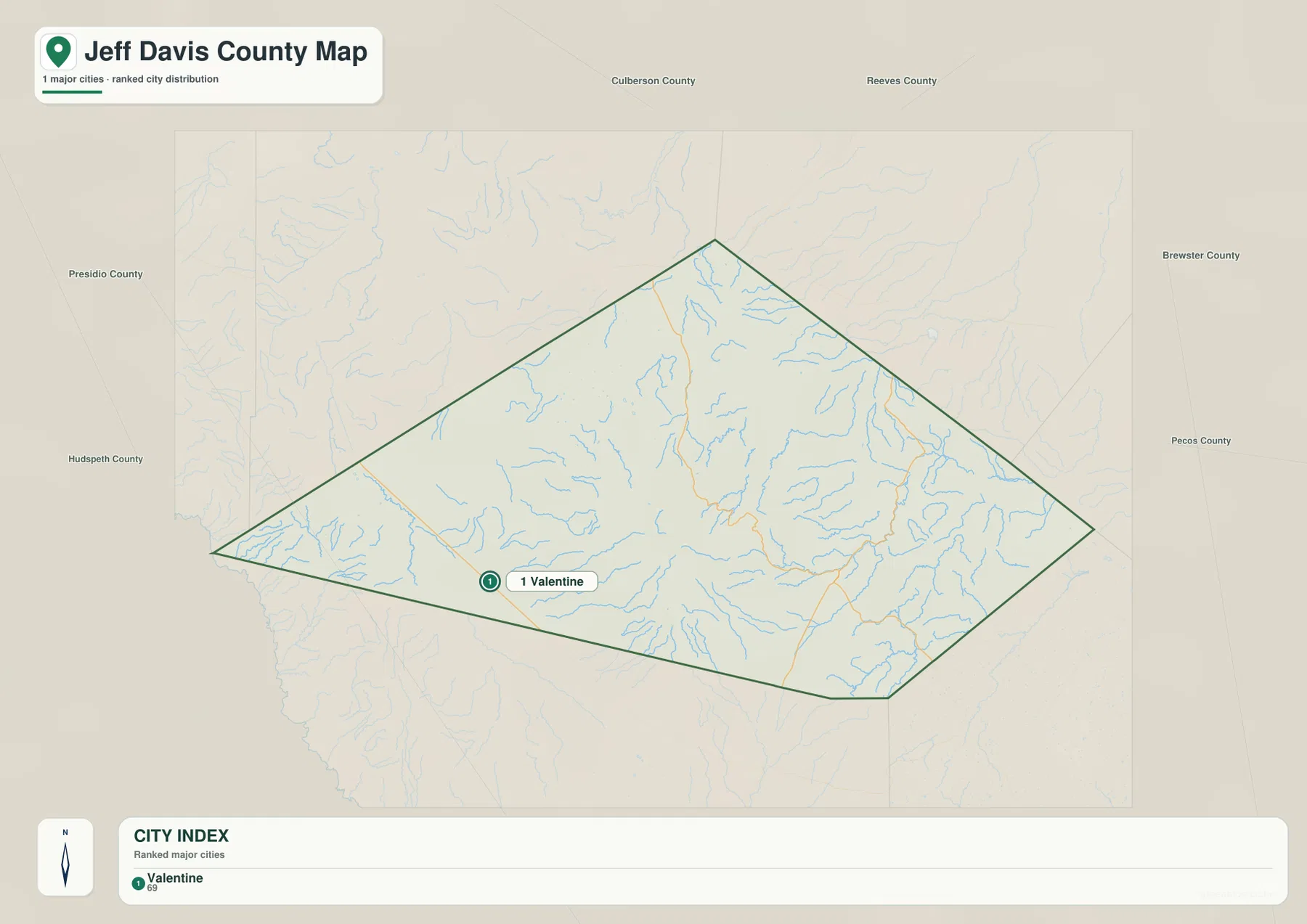
The city map can look surprising at first because its ranked city index highlights Valentine. Fort Davis is more prominent in county government and on the road map, yet it is an unincorporated community and census-designated place rather than an incorporated municipality. Valentine, by contrast, is an incorporated town. A city index built around incorporated places therefore treats Valentine differently even though Fort Davis is the county seat and has a much stronger role as a service, tourism, and administrative center.
This difference is useful rather than contradictory. It shows why a single map cannot answer every question about a county. The general map is better for finding Fort Davis, following the highways, and understanding the county’s overall layout. The city map is useful when the question is which incorporated place appears in the county’s municipal index. Reading the two together also helps prevent a common mistake: assuming that a county seat must be an incorporated city or that the place ranked on a city map must be the county’s principal administrative center.
Mountain roads make Fort Davis a natural orientation point
The Davis Mountains dominate the central and eastern part of the county, so roads around Fort Davis make more sense when they are read against the relief rather than as simple lines between towns. Highway 118 runs into the higher country north of Fort Davis. Highway 166 curves through the mountain area to the west, and Highway 17 gives Fort Davis a north-south connection toward Balmorhea and Marfa. The county map also places Interstate 10 near the northern side of the area, providing a useful reference for long-distance travel beyond the mountain roads.
Davis Mountains State Park lies just northwest of Fort Davis and is reached from Highway 118. Farther into the high country, McDonald Observatory is another major landmark associated with the county. Fort Davis National Historic Site sits close to the community and preserves a military post that once protected travel on the San Antonio-El Paso Road. These places explain why the Fort Davis area has a role that is larger than its settlement size might suggest. Visitors, park traffic, historical tourism, astronomy programs, local services, and ranch access all rely on a small number of roads that pass through complicated terrain.
Limpia Creek and smaller drainages reveal the shape of the mountains
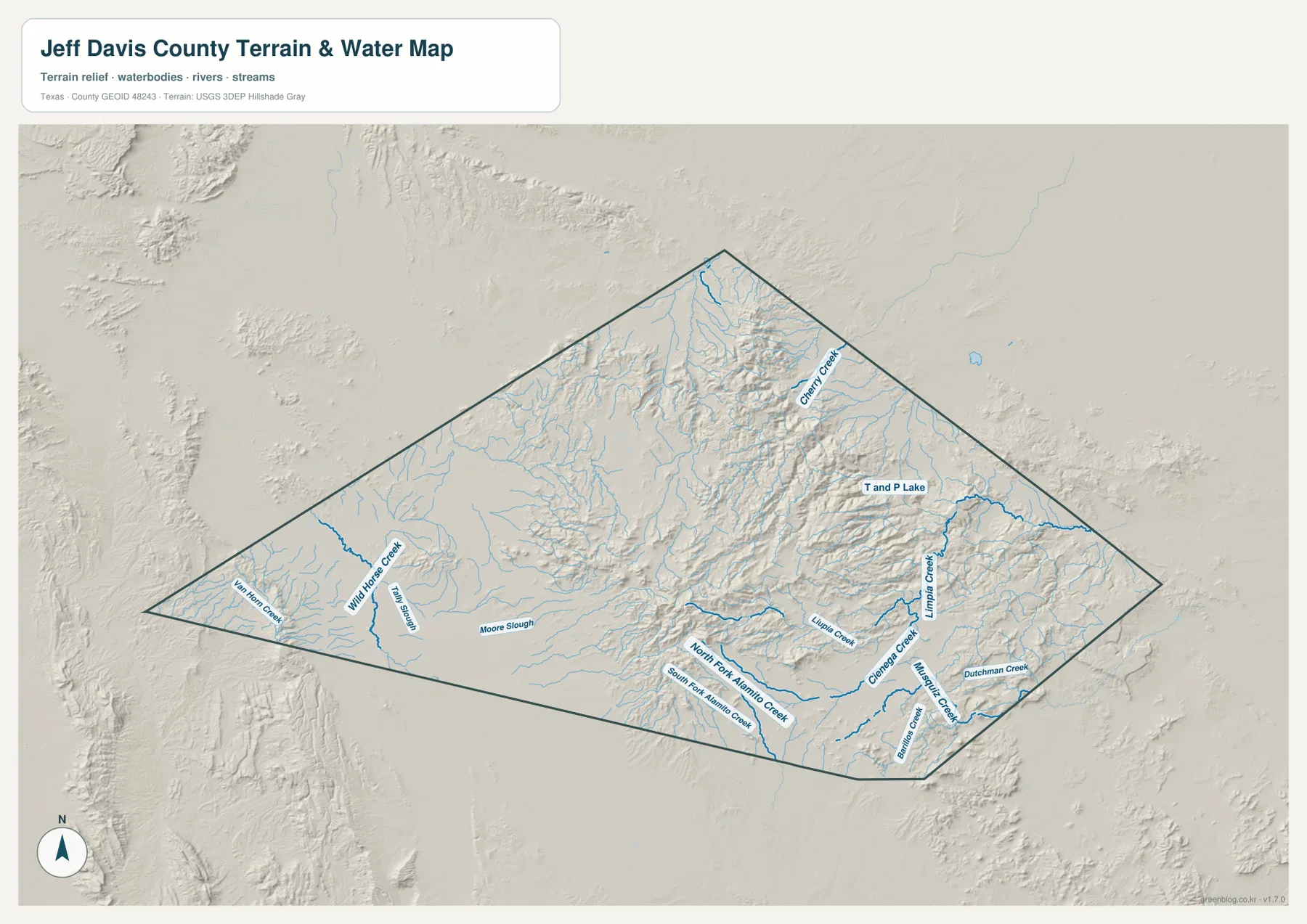
The terrain-and-water map adds details that are easy to miss on the general road map. Limpia Creek is one of the most recognizable names around the Fort Davis side of the county, but it is only part of a much larger network. Cherry Creek is labeled in the north, Wild Horse Creek and East Horn Creek appear toward the west, and the southern half includes North Fork Alamito Creek, South Fork Alamito Creek, Cienega Creek, and Dutchman Creek. T and P Lake and Moore Slough are also identified on the map.
These labels should be read as mapped water and drainage features, not as a promise that every channel carries abundant water throughout the year. Jeff Davis County lies in the dry Trans-Pecos region, and the water map is most useful for showing where valleys and drainage paths cut through the terrain. When the blue stream lines are compared with the shaded relief, many of the channels follow lower gaps between ridges. That relationship helps explain why some roads curve through the mountains and why Fort Davis developed near a passable valley rather than on one of the highest ridges.
The elevation map shows why west and east Jeff Davis County feel so different
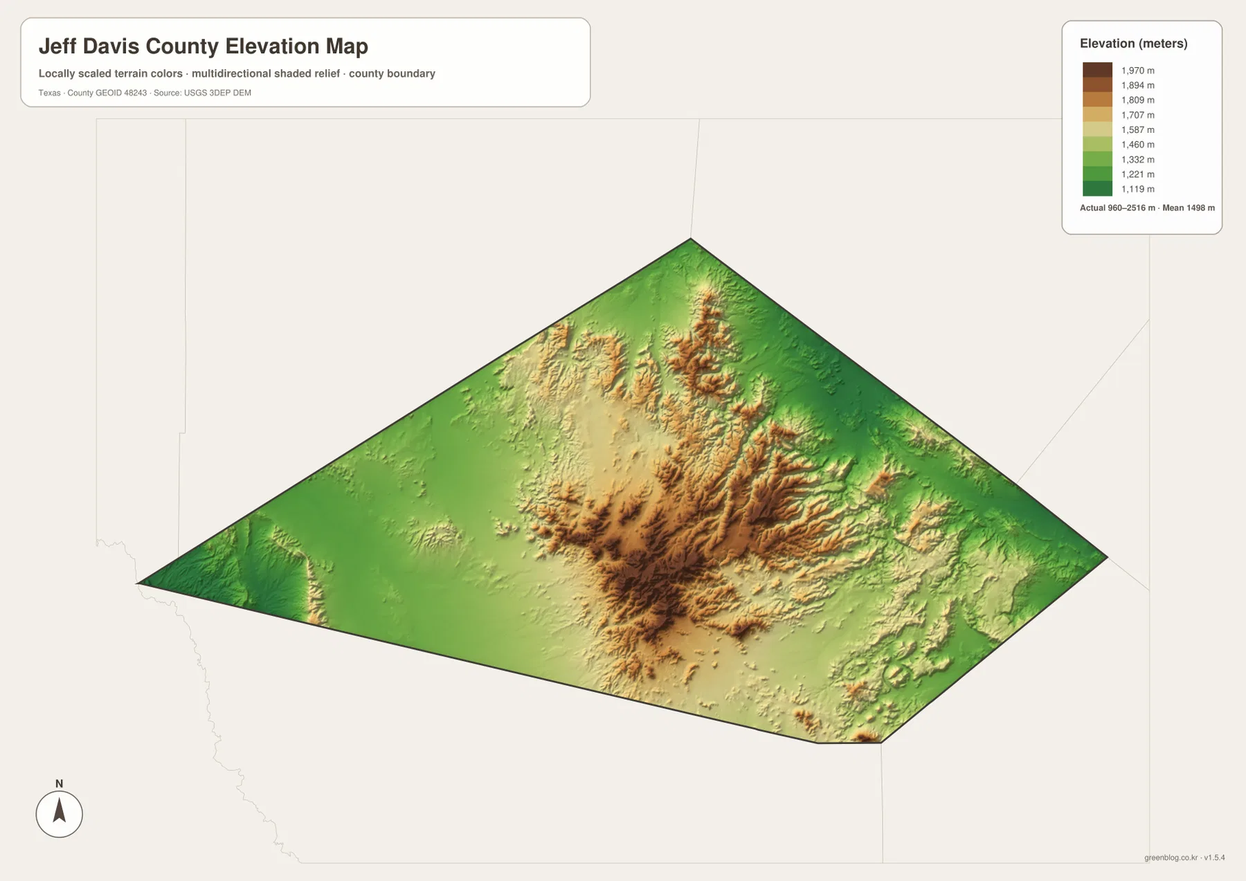
The supplied elevation map reports an actual elevation range of about 960 to 2,516 meters, with a mean near 1,498 meters. That is a very large vertical difference inside one county. Lower green terrain spreads across much of the western side near Valentine, while tan and brown mountain surfaces occupy the central and eastern portions of the county. The highest ridges form a rugged mass north and northwest of Fort Davis, with additional elevated terrain extending eastward.
This is more than a visual contrast. The relief helps explain the different road patterns, the concentration of creek channels, and the separation between communities. A straight line from Valentine to the Fort Davis area crosses a landscape that changes from lower, more open country into complex mountain terrain. In the higher section, ridges and valleys repeatedly interrupt direct travel. Around Valentine, the map shows broader areas with gentler changes in elevation. When someone is planning a route, studying a historical travel corridor, or simply trying to understand why the communities appear so far apart, the elevation map supplies information that a boundary-only map cannot.
County lines make more sense when the outbound routes are included
Jeff Davis County borders a group of other large West Texas counties, including Culberson, Reeves, Pecos, Brewster, and Presidio. The names matter less than the directions of the major routes. Northbound travel from the mountain country can reach the Interstate 10 corridor. Highway 17 connects Fort Davis toward Balmorhea in the north and Marfa in the south, while Highway 118 links the county toward Alpine and also climbs into the higher Davis Mountains. U.S. Highway 90 gives Valentine a very different east-west connection across the southwestern part of the county.
These outward connections are especially useful when using the map for travel rather than for a classroom boundary exercise. A county border does not stop the road, and nearby destinations such as Marfa, Alpine, Balmorhea, and Van Horn help establish direction even when they fall outside Jeff Davis County. The general map includes several of these surrounding labels, making it easier to place the county within Far West Texas. It also shows why Fort Davis can function as a local center without sitting on an interstate highway or inside a large metropolitan network.
Choosing the right map for a Jeff Davis County question
For basic orientation, start with the county map. It combines the boundary, Fort Davis, Valentine, surrounding place names, and the principal roads in one view. The city map is more specialized and is best used when municipal classification matters, because it highlights Valentine in the incorporated-city index. If the question involves valleys, creeks, or the relationship between watercourses and mountain roads, the terrain-and-water map is the better choice. The elevation map is the clearest option for comparing the lower western side of the county with the high Davis Mountains.
The maps can also be paired. A traveler comparing Highway 118 with the mountain relief can place the road beside the elevation map. A student studying how settlement differs between Valentine and Fort Davis can compare the city and elevation maps. Someone researching drainage around Fort Davis can use the water map together with the general road map to find Limpia Creek and nearby routes. Because the four files use the same county boundary, switching between them is straightforward without having to re-learn the shape of the county each time.
The web images are intended for quick viewing in the article. For printing, presentations, offline reference, or closer inspection, use the high-resolution JPG package. The download includes separate county, city, water, and elevation images rather than a single combined graphic, so each map can be opened or printed independently.
Frequently Asked Questions
Why does the city map highlight Valentine when Fort Davis is the county seat?
Fort Davis is the county seat but is an unincorporated community and census-designated place. Valentine is an incorporated town. A city index based on incorporated municipalities can therefore highlight Valentine even though Fort Davis is the county’s main administrative reference on the general map.
What does the elevation map add to the road map?
It shows the large difference between the lower western terrain near Valentine and the high Davis Mountains around and north of Fort Davis. The supplied map reports roughly 960 to 2,516 meters across the county, so it helps explain why mountain roads curve, why drainages concentrate in certain valleys, and why the two main settlement references sit in very different landscapes.
Which water feature is the best starting point near Fort Davis?
Limpia Creek is the most useful first reference near Fort Davis and the Davis Mountains. From there, the water map can be used to compare other named drainages such as Cherry Creek, Wild Horse Creek, and the North and South Forks of Alamito Creek.
Sources and Reference Data
- U.S. Census Bureau TIGER/Line Shapefiles – boundary and transportation reference data
- USGS National Hydrography – hydrography and drainage reference data
- USGS 3D Elevation Program – elevation reference data
- Texas Parks & Wildlife – Davis Mountains State Park – park access and Davis Mountains natural setting
- National Park Service – Fort Davis National Historic Site – Fort Davis history and location context
- McDonald Observatory – observatory information in the Davis Mountains
Map File Information
The ZIP contains high-resolution A3 JPG versions of the Jeff Davis County map, city map, terrain-and-water map, and elevation map. Use these files when you need a printable or offline copy rather than the smaller web images shown in the article.
- File Type: ZIP containing 4 JPG files
Related Maps
- Pecos County Texas map
- Presidio County Texas map
- Reeves County Texas map
- Terrell County Texas map
- Upton County Texas map
Green Map creates custom-edited map images using open geographic data sources such as geoBoundaries, Natural Earth, OpenStreetMap, and government open data.
These maps are edited visual materials, not raw data files, and are provided for education, documents, presentations, and graphic reference.