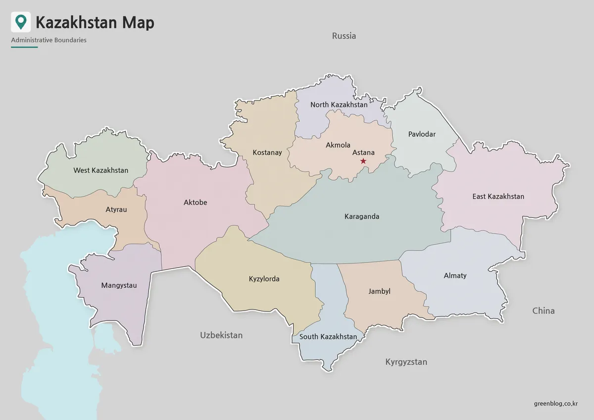
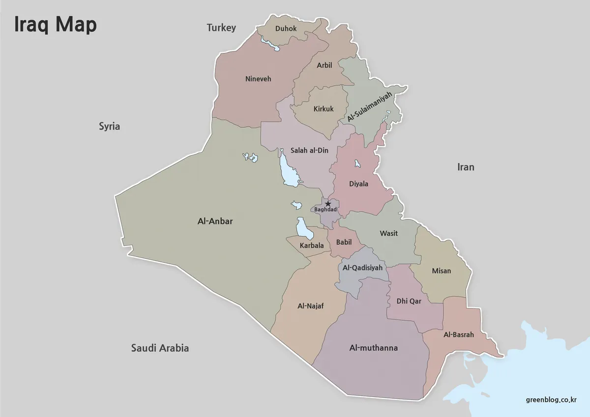
A China Map can resemble a current reference while using older names. These four maps share province-level boundaries, but their text uses historical or French-influenced spellings such as Sinkiang, Kansou, Tsinghai, Setchouan, and Mongolie Interieure instead of Xinjiang, Gansu, Qinghai, Sichuan, and Inner Mongolia.
The collection provides a green reference map with water features, a pastel color-coded map, a white-background labeled map, and an unlabeled boundary outline. Two additional images accompany the maps: a mainland-shaped flag graphic and a conventional national flag. A seventh source image is a legacy download button, not a map, and is omitted to prevent a duplicate download box.
These resources can support historical-label comparison, worksheets, presentations, and simple design work. They should not be presented as current official administrative maps. Taiwan is not drawn, Hong Kong and Macau are labeled without a status legend, and several modern province-level names are absent or rendered in obsolete forms.
Table of Contents
Map Creation Background
China’s large west-to-east extent and varied province sizes create a difficult page layout. Xinjiang, Xizang/Tibet, Qinghai, and Inner Mongolia occupy broad western and northern areas, while numerous smaller units cluster around the North China Plain and eastern coast. A landscape page gives the western regions enough space without making Beijing, Tianjin, or the coastal provinces unreadably small.
The supplied China Map geometry is consistent across the four versions, which makes visual comparison straightforward. However, the label source is not contemporary. Readers will encounter spellings including Hopei for Hebei, Chantung for Shandong, Kiangsu for Jiangsu, Tchekiang for Zhejiang, Fukien for Fujian, and Kouangtoung for Guangdong. This characteristic is central to interpreting the set correctly.
The maps are raster graphics, not GIS data or vector polygons. They provide no coordinates, projections, boundary dates, or legal metadata. Keep an untouched original and verify administrative claims against a dated source.
Country Info
The People’s Republic of China is located in East Asia, with Beijing as its capital. For mainland statistical reporting, China’s National Bureau of Statistics commonly refers to 31 provinces, autonomous regions, and municipalities directly under the central government, while excluding residents of Hong Kong, Macao, and Taiwan from that mainland total.
- Capital: Beijing
- Mainland statistical framework: 31 province-level units
- Special administrative regions shown: Hong Kong and Macau
- Major island shown: Hainan
- Map limitation: Taiwan and offshore South China Sea features are not depicted
Under the PRC government’s own classification, it describes 23 provinces, five autonomous regions, four municipalities, and two special administrative regions. That classification includes Taiwan among the 23 claimed provinces, although Taiwan is self-governed and is not shown in these supplied images. The article therefore describes the visible map rather than treating its outline as a complete political statement.
China Map Collection Overview
The four web map previews use a 1200-pixel-wide landscape canvas: the first is 1200 × 848 pixels, and the next three are 1200 × 849. The source description identifies the downloadable artwork as 4965 × 3508 pixel JPG files prepared in CMYK. Preserve the archive originals when printing or adding annotations.
Each China Map version keeps the same mainland outline, Hainan, Hong Kong, Macau, and province-level framework. What changes is the use of water, color, label text, boundary style, and background treatment. The file named “Transparent” actually has an opaque white background in the supplied WebP preview, so it should be called print-friendly rather than transparent.
- General map: green land, blue sea, rivers and lakes, white boundaries, historical labels
- Color-coded map: pastel regional fills, modern white page, historical labels
- Print-friendly map: white land, dotted boundaries, labels and drop shadow
- Outline map: white land with solid internal boundaries and no geographic labels
1️⃣ China General Map
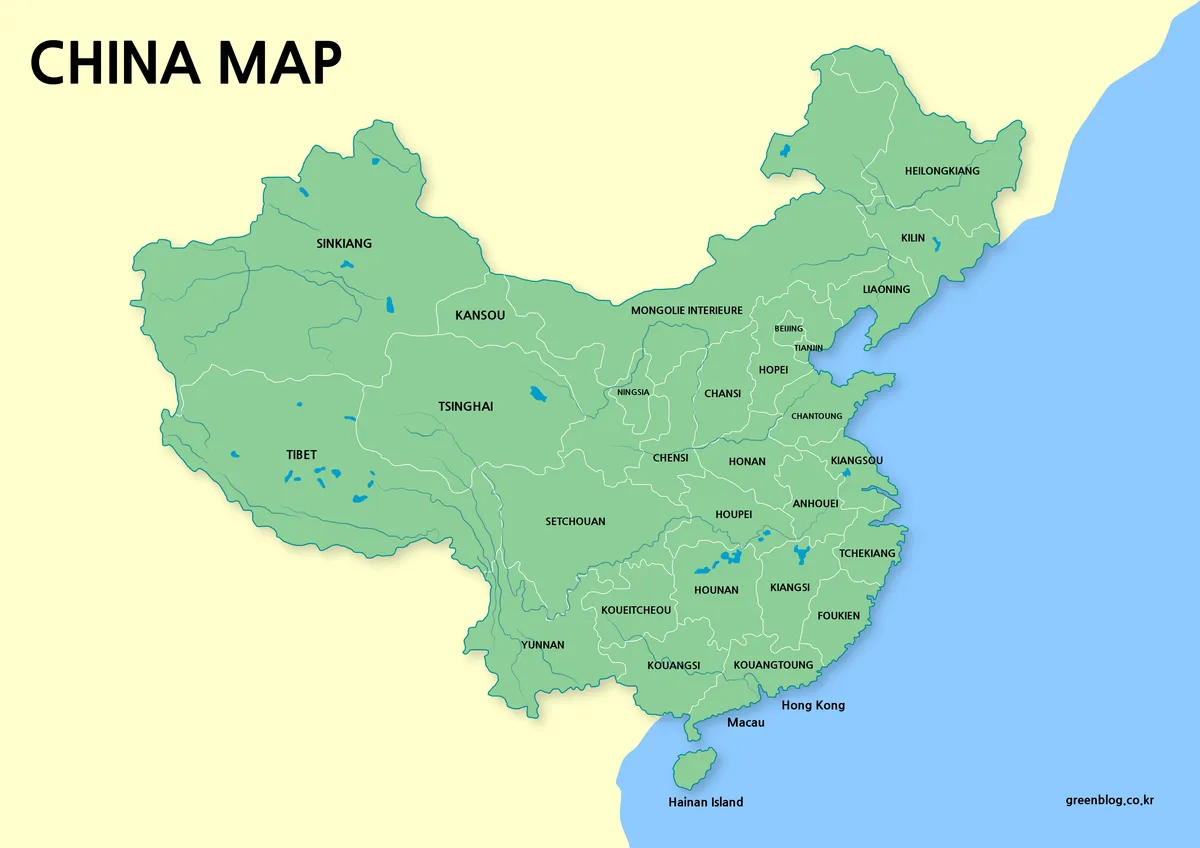
The general China Map places green land against blue water and a pale yellow surrounding background. White lines divide the large regional units, while blue lines and shapes indicate major rivers and lakes. Beijing and Tianjin are labeled in the northeast cluster, and Hong Kong, Macau, and Hainan Island appear along the southern coast.
The text is the main limitation. “Sinkiang,” “Tsinghai,” “Chensi,” “Setchouan,” “Koue itcheou,” and similar forms do not match current standard English map labels. Shanghai and Chongqing are not clearly named as province-level municipalities, and the image offers no legend explaining administrative types. Use it for historical romanization discussion or broad spatial orientation, not a current reference directory.
Water features add physical context, but the map does not identify river names, elevation, scale, or neighboring countries. It is unsuitable for navigation, distance measurement, hydrology, or border analysis. The visual hierarchy communicates relative position rather than complete geographic detail.
2️⃣ Color / Color-Coded Map
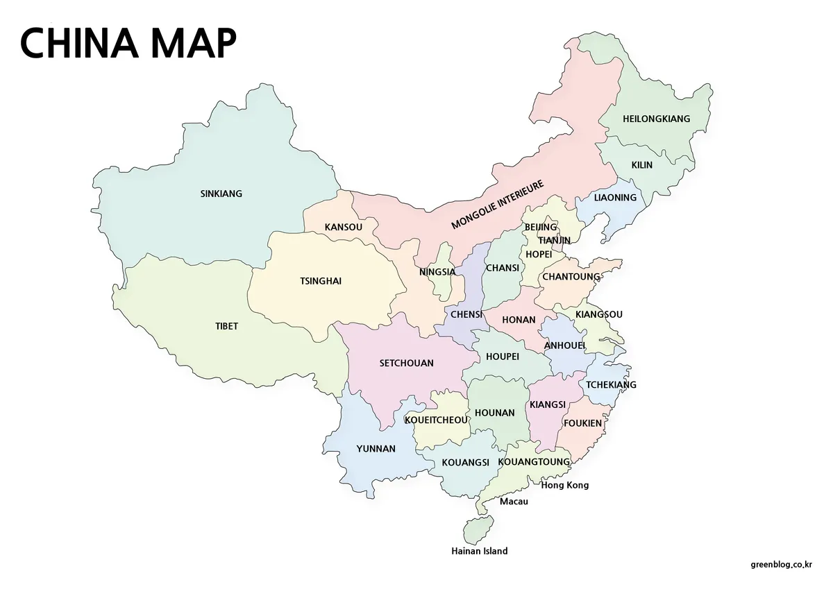
The pastel version removes the rivers, lakes, and blue sea while giving neighboring shapes different colors. This improves boundary recognition in the dense eastern half of the map. The fills are purely categorical: no legend links a color to population, economy, elevation, political status, or any other value.
Choose it when the goal is to distinguish adjacent areas quickly, such as in an introductory slide or a province-location exercise. The colors do not correct the historical names or missing labels. Any derivative that claims current administration should replace the text and verify every boundary before publication.
3️⃣ Printable Map / No Background Map
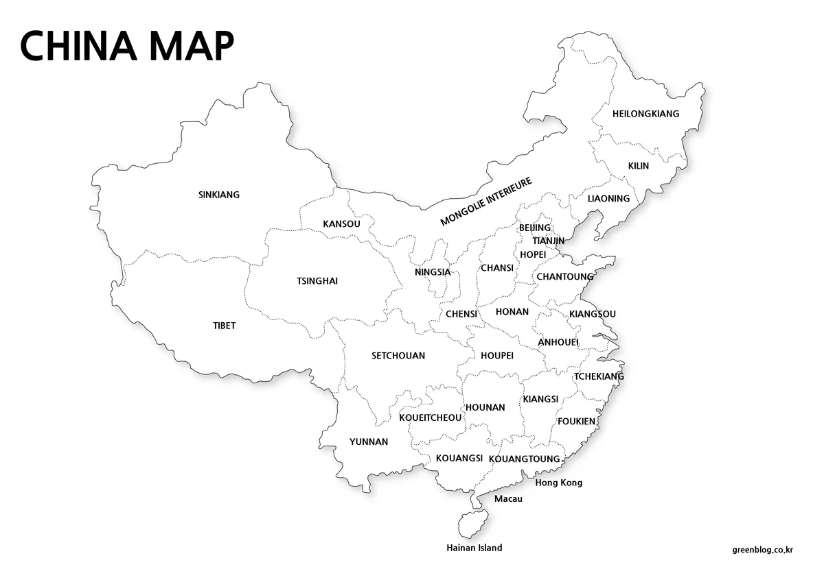
The print-friendly China Map uses white land and page areas, dotted internal lines, black labels, and a soft outer shadow. It retains the same historical spellings and visible extent as the first two maps. Despite “Transparent” in the media filename, the preview contains no alpha channel and has an opaque white background.
This is the most economical labeled version for handouts and notes. It remains a reference sheet rather than a blank activity because the place names are already printed. Small labels around Beijing, Tianjin, Hong Kong, and Macau may need full-size output to remain legible.
4️⃣ Outline Map
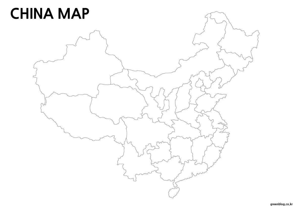
The outline China Map removes all geographic names, colors, rivers, and shadows while keeping solid internal boundaries and the large “CHINA MAP” title. It includes the mainland framework and Hainan but does not add Taiwan or the offshore features missing from the labeled versions.
Use it for custom labeling, comparative coloring, or broad presentation overlays. Since it is an undated raster outline, do not use it as an official boundary layer or assume that each enclosed shape has current legal accuracy. Add a source date and legend to any data graphic built from it.
Flag Map
The first decorative image clips a waving red flag texture into a mainland-like silhouette. It is 1200 × 655 pixels and has transparent areas, but visible white rectangular and pixelated edge artifacts make it unsuitable as a clean cartographic cutout. The second image is a conventional 900 × 600 flag, not a map. Both are supporting visuals rather than additional regional map types.
Use Cases
Use the green version for broad physical context, the pastel version for boundary contrast, the white labeled version for economical printing, and the outline for custom labels or fills. For present-day administrative teaching, replace the obsolete romanizations and compare the result with a dated official list. For historical lessons, preserve the old spellings but explain the naming era.
Choosing a China Map by Label and Layout
Select a labeled China Map only when readers understand that its names are historical. Choose the outline when modern labels will be supplied separately, and the pastel version when fast visual separation matters more than water features. None of the four should be used to settle political boundaries or jurisdictional claims.
FAQ
Is this China Map suitable for current province names?
No. The labeled files use historical romanizations and omit some modern province-level labels. Taiwan is not depicted, while Hong Kong and Macau appear without a status legend. Use the maps for layout, printing, or historical comparison, and consult a current authoritative source before presenting modern administrative information.
Are these China maps free to use?
They can be used freely for personal blogs, learning materials, and general informational purposes.
Can the maps be printed?
Yes. The resolution and CMYK color mode support print output without quality loss.
Which programs can edit the maps?
Photoshop and Illustrator can be used to add text, colors, or custom elements.
Download Section
The protected ZIP contains the displayed collection. Keep the original files before editing, then select the general, pastel, print-friendly, or outline version according to the project. If accuracy depends on current names or status, revise and date the labels before publication.
Map File Information
Four regional layouts with historical labels, plus two flag visuals.
- Included Versions: general, pastel color-coded, print-friendly labeled, and unlabeled outline
- Intended Use: historical-label study, handouts, slides, and custom visual work
Related Maps
Additional Resources
Review the PRC government overview of administrative divisions for its official classification of provinces, autonomous regions, municipalities, and special administrative regions.
Green Map creates custom-edited map images using open geographic data sources such as geoBoundaries, Natural Earth, OpenStreetMap, and government open data. These maps are edited visual materials, not raw data files, and are provided for education, documents, presentations, and graphic reference.