A Philippines Map must organize a widely scattered archipelago without losing the relationship among Luzon, the central Visayan islands, Mindanao, Palawan, and the Sulu island chain. Large areas of water separate these groups, while many smaller islands and province shapes need enough space to remain visible. The landscape design uses a tall diagonal arrangement so the national form can be read from north to south on one page.
The collection presents three coordinated maps and a separate national flag. The first map uses color, province labels, island-group text, and surrounding sea names. The second removes the sea and land colors but keeps the labels and boundaries. The third removes geographic labels and fill colors while preserving coastlines and internal divisions. The flag is a companion image, not a fourth cartographic version.
Each published map preview measures 1200×848 pixels, and the flag measures 900×450. The map images can support broad geographic orientation, reference sheets, presentations, and simple editing projects. They are not road maps, terrain maps, navigation charts, or current GIS data. The artwork is also undated and contains a visible spelling error: “Visayas” appears as “Yisayas” on both labeled versions.
Table of Contents
Why This Philippines Map Collection Was Created
A compact mainland can often be reduced without breaking its overall form, but an archipelago behaves differently. Compressing the Philippines too far makes small islands vanish and province names collide. Expanding every gap at true visual scale creates too much empty sea. This design balances those problems by giving Luzon, the Visayas, Mindanao, Palawan, and the southwestern island chain separate visual space within one wide frame.
The labeled Philippines Map favors national orientation over exhaustive administrative precision. Province names appear inside many boundaries, while larger group and sea labels help readers understand the overall arrangement. At the 1200×848 preview size, some province text is very small. Open the image at full size or use the archive copy when detailed labels matter, and consult current official data before attaching statistics.
Country Overview
The Philippines is a Southeast Asian archipelago in the western Pacific. Luzon, Visayas, and Mindanao are the three broad island groups commonly used for geographic orientation, but they are not identical to the country’s administrative regions. Manila is the national capital on Luzon, although the supplied maps do not use a clear capital symbol or city hierarchy.
- Broad island groups: Luzon, Visayas, and Mindanao
- Surrounding waters shown: South China Sea, Philippine Sea, Sulu Sea, and Celebes Sea
- Capital: Manila, not clearly marked on the supplied artwork
- Official structure: 18 regions and 82 provinces as of June 30, 2026
- Map scope: province-oriented overview without roads, terrain, coordinates, or scale
Administrative codes and affiliations can change after an illustration is created. The current Philippine Standard Geographic Code includes the restored Negros Island Region and the separate provinces of Maguindanao del Norte and Maguindanao del Sur. Because the maps provide no publication date or revision note, treat them as general artwork and verify every formal name, count, and boundary against the same PSGC release used by a project’s data.
Philippines Maps Collection Overview
Every Philippines Map version keeps the national island pattern and an internal province-level framework. The differences concern color, sea background, and labeling rather than geographic extent. None of the files is a vector boundary dataset, so individual provinces should not be assumed to behave as separate editable polygons in ordinary raster software.
- Color map: province labels, island-group colors, and surrounding sea names
- Background-free map: the same reference labels and boundaries on white
- Outline map: coastlines and internal divisions without geographic labels
- Companion image: the Philippine national flag
The consistent layout makes the set useful as a sequence. Readers can study island groups and province positions on the color image, consult the background-free version when printing, and transfer selected information to the outline. Keeping the geometry stable reduces confusion when switching between a reference page and an activity or custom graphic.
1️⃣ Basic Philippines Map
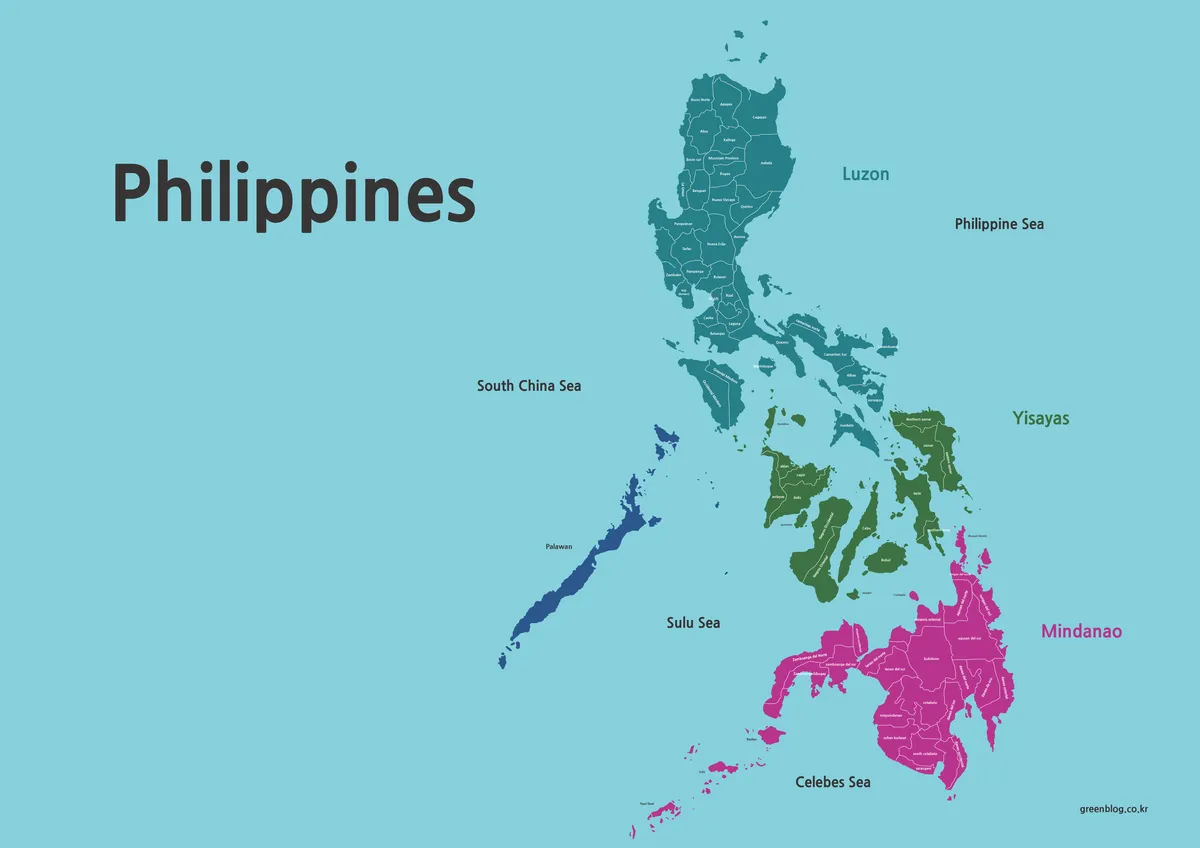
The color Philippines Map uses teal across much of Luzon, green for the central islands, magenta for Mindanao and the southwestern chain, and dark blue for Palawan. These fills make widely separated island groups easier to scan. They are design categories rather than the 18 official administrative regions, and Palawan’s separate treatment reinforces that the palette should not be read as a legal hierarchy.
The South China Sea appears west of the archipelago, the Philippine Sea to the east, the Sulu Sea between Palawan and Mindanao, and the Celebes Sea to the south. Luzon and Mindanao have large group labels. The central label is intended to identify the Visayas, but the image reads “Yisayas.” Correct the spelling in derivative artwork or disclose the typo when showing the unchanged map.
Many province names are visible, but their size varies and some become difficult to read in the web preview. The map does not establish a reliable city system, regional-boundary layer, scale, or revision date. Use it to introduce island groups, relative province positions, and surrounding seas, then move to the PSA source for current administrative work.
2️⃣ Background-Free Map (Printable Version)
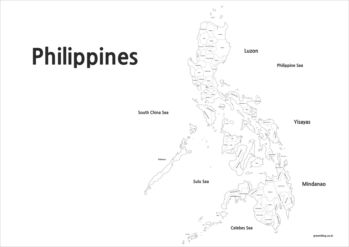
The background-free Philippines Map replaces the cyan sea and colored land with white while retaining province names, group labels, sea names, coastlines, and internal lines. This reduces large printed color areas and makes the image suitable for monochrome reports, low-ink handouts, reference sheets, and answer keys.
It is not a blank quiz because the geographic names remain. The “Yisayas” typo also remains, and removing color does not update the administrative content. If the map is used in a formal document, correct the label in a derivative copy and verify province names separately. If learners are expected to supply names themselves, choose the outline instead.
Make a proof print before producing a full set. Small labels that look acceptable on a monitor can lose clarity when reduced, especially across dense central islands. Preserve the landscape aspect ratio, avoid stretching, and print from the highest-resolution archive file available. A clean page does not guarantee that every province label will remain readable at every paper size.
3️⃣ Outline Map for Graphic Editing
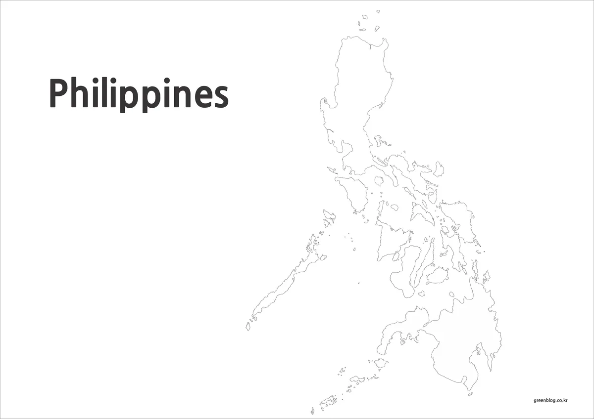
The outline Philippines Map removes the island-group names, sea labels, province names, and fill colors. It retains coastlines and internal province-level divisions, making it more detailed than a national silhouette. The large page title “Philippines” remains in the upper-left corner, so the file is geographically unlabeled rather than entirely free of text.
Use the outline for province-name practice, island-group coloring, numbered answer exercises, route sketches, or a simple data display. For statistical work, first confirm that the boundaries match the date of the data and create a legend with units and a source date. Save an untouched copy, since repeated raster editing and resizing can weaken fine island and boundary lines.
Map Type Summary
- Choose color for quick island-group orientation and a labeled overview.
- Choose background-free when reference labels are needed with less printed color.
- Choose outline when users will add names, colors, symbols, routes, or notes.
National Flag
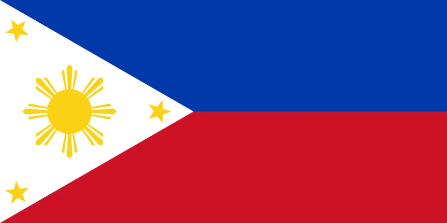
The 900×450 flag image has blue and red horizontal fields and a white triangle containing a golden sun and three stars. It can identify the country on a cover slide, profile, or worksheet heading, but it contains no geographic information. Keep it separate from the three-map count and avoid placing it over small island boundaries or province labels.
Practical Uses for This Map Collection
A lesson can begin with the color map to identify Luzon, Visayas, Mindanao, Palawan, and the surrounding seas. The white version can then serve as a printed reference, and the outline can become a recall activity. A Philippines Map can also accompany a regional comparison, provided the caption explains that its province framework is illustrative and undated.
For travel or presentation graphics, add only selected locations and routes. The supplied images lack roads, scale, coordinates, and a complete city hierarchy, so they should not be used for navigation or distance measurement. For province-level statistics, match the artwork to a current PSGC release before applying fills; otherwise, labels and data may describe different administrative structures.
Choosing a Philippines Map by Information Level
Select color when broad grouping is the priority, background-free when printed labels are the priority, and outline when the reader must create the information. All three retain province-oriented geometry, but none documents the official regional structure with a dated legend. Choose by the task, correct the visible Visayas typo where possible, and retain a clean original before editing.
Frequently Asked Questions
Can these maps be printed?
Yes. A background-free version is included to support clear printing, including black-and-white output.
Can I edit the maps using design software?
The outline map is included specifically for editing and customization in graphic programs.
Is redistribution allowed?
The maps may be used for personal projects and reference materials, but redistributing the original files is not recommended.
Download Information
The protected ZIP contains the three map styles shown above. Preserve the originals before editing, choose the labeled or outline version according to the task, correct the “Yisayas” spelling in derivative work, and verify current administrative divisions before using the artwork with formal statistics.
Map File Information
This archive contains three province-oriented map views for reference, printing, study, and custom annotation.
- Included Versions: Color labeled, background-free labeled, and unlabeled boundary outline
Related Maps
Additional Resources
Consult the Philippine Statistics Authority’s geographic code for the current official region, province, city, municipality, and barangay structure.
Green Map creates custom-edited map images using open geographic data sources such as geoBoundaries, Natural Earth, OpenStreetMap, and government open data.
These maps are edited visual materials, not raw data files, and are provided for education, documents, presentations, and graphic reference.