This Austin County Texas map page introduces one of the most historically significant counties in early Anglo Texas settlement. Bellville is the present county seat, while San Felipe de Austin served as the headquarters of Stephen F. Austin’s colony and became an important site in Texas history. Sealy, Wallis, Industry, and other communities developed through agriculture, immigration, railroads, and trade. The county’s location west of Houston gives it both rural and metropolitan connections.
Table of Contents
Bellville, San Felipe, and a network of towns
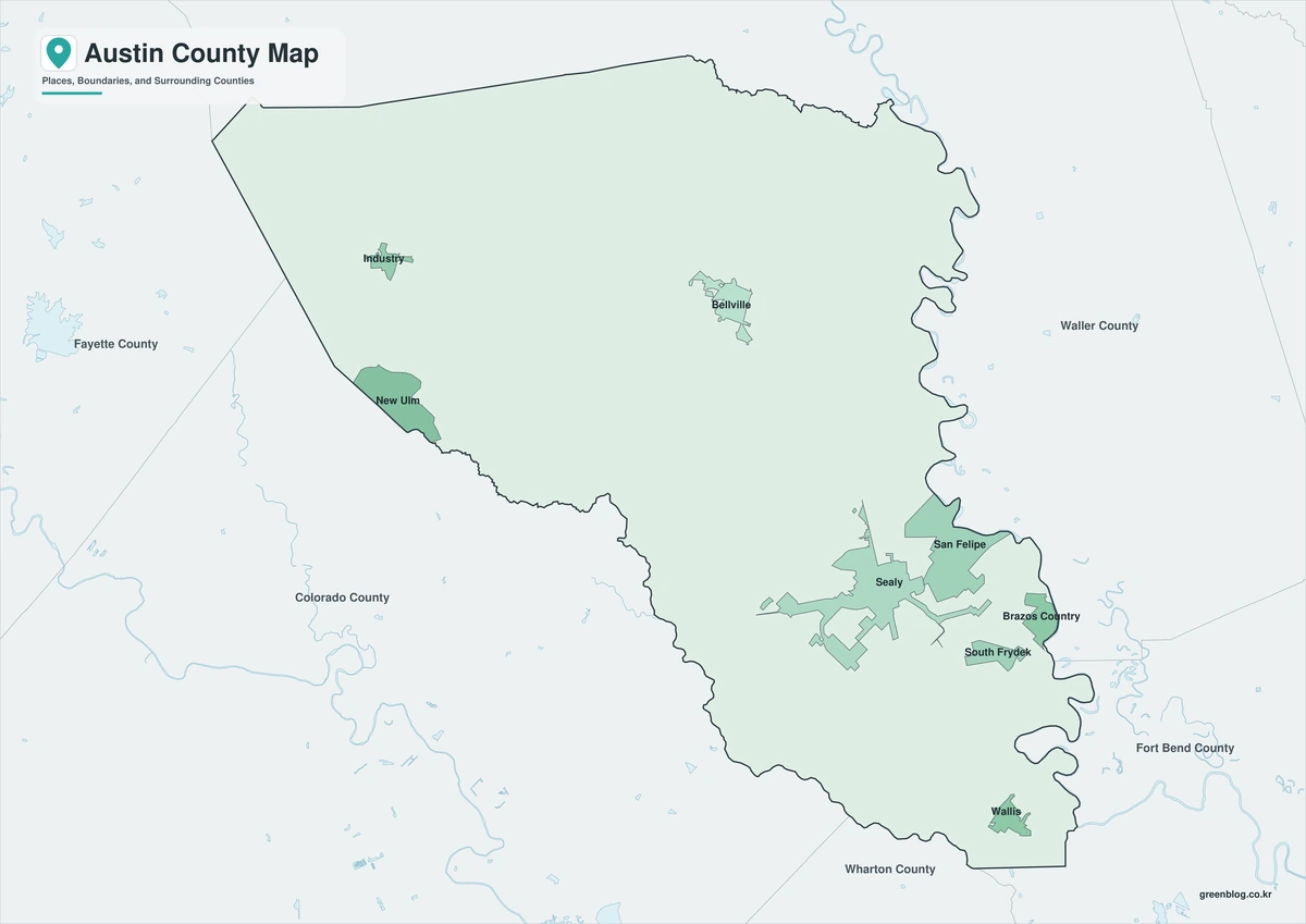
Bellville handles county government, but San Felipe carries a different importance as the center of Austin’s original colony. Sealy and Wallis grew along transportation routes, while Industry and smaller communities reflect the county’s agricultural and immigrant heritage. No single town explains the entire county, making the map useful for understanding their relative positions.
A county rooted in early Texas history
Austin County was part of the region where Stephen F. Austin organized settlement and local defense in the 1820s. Later German and Czech immigration added new communities, farms, churches, and cultural traditions. River corridors, rail connections, and proximity to Houston continued to influence the county after its frontier period ended.
What the color map shows
Use the color edition when the county must stand out immediately from the surrounding map. It works well for a location graphic centered on Bellville or a short county introduction. The land-water balance is easier to grasp after reading the official area figures above.
Black-and-white map for print
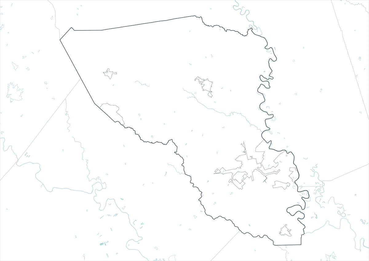
For documents and repeated printing, the black-and-white edition is usually the most practical. It preserves the county outline and the reference to Bellville while reducing ink use and visual clutter. It can also sit beside a data table without competing with the figures.
Outline map for custom labels
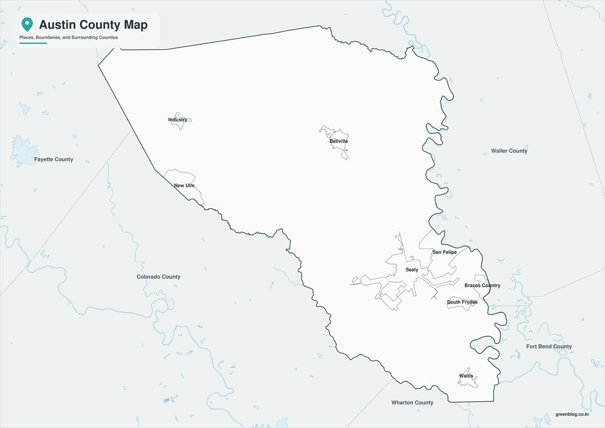
Choose the outline map for custom work. The blank county boundary leaves room for Bellville, road connections, field locations, or statistical symbols to be added as needed. This is useful for classroom exercises, local research, and project-specific diagrams.
Download the map files
The download consists of three A3 JPG files: color, black-and-white, and outline. Use color to view the Austin County boundary, monochrome for paper output, or the outline to add locations and routes. All three cover the same geographic extent. For this county, Bellville is the administrative reference and 1836 is the creation year.
Austin County, Texas Map Download
The ZIP package includes color, black-and-white, and outline maps. Choose among the three formats after reviewing their strengths for display, printing, or editing.
- Map set: Color, black-and-white, and outline maps
- File format: Three high-resolution A3 JPG files in one ZIP
- Suggested uses: Screen reference, printing, worksheets, and custom editing
- Coverage: The complete boundary of Austin County, Texas
The download is provided as a ZIP archive. Decompress the download to access the three included map files.
Frequently Asked Questions
Where is the county seat?
The files use the official county boundary for Austin County and are intended to show the county as one administrative area within Texas. The county seat is a point of reference within the boundary, not the feature that defines the boundary itself.
Which map works best for a printed report?
Printed documents generally benefit from the black-and-white edition because it remains legible in grayscale. The color edition supports visual explanation, while the open outline supports user-added routes, labels, and categories.
What is included in the ZIP package?
Yes. Inside the ZIP, each map format is available as its own JPG file. Providing separate files prevents changes to one map from affecting the other formats.
What can be added to the outline map?
Bellville is the county seat and is the clearest first reference for an administrative map. The outline allows a user to build a focused map by adding selected places and subject-specific symbols.
References
- U.S. Census Bureau
- 2024 Gazetteer Files
- Texas State Library: Counties and County Seats
- Texas Counties: Year Created and Organized
- Handbook of Texas: county history, geography, and economy
Related Maps
- Nacogdoches County Texas map|Piney Woods Communities and Boundaries
- Real County Texas map|Frio Canyon roads, Nueces headwaters, and Hill Country towns
- Palo Pinto County Texas map|Mineral Wells, Brazos canyons, and Possum Kingdom Lake
- Ward County Texas map|Monahans, Barstow, and Monahans Sandhills
- Morris County Texas map|Daingerfield, Lake O’ the Pines, and Northeast Texas towns
Green Map creates custom-edited map images using open geographic data sources such as geoBoundaries, Natural Earth, OpenStreetMap, and government open data.
These maps are edited visual materials, not raw data files, and are provided for education, documents, presentations, and graphic reference.