This Armstrong County Texas map page introduces focuses on a Panhandle county defined by ranching, wheat farming, and small communities. Claude is the county seat and the main service center, while Goodnight, Washburn, and Wayside reflect different stages of settlement. Large ranches dominated the early landscape before portions were sold to farmers. U.S. Highway 287 and local roads now connect the county’s agricultural areas with Claude.
Table of Contents
Ranching and wheat on the High Plains
Armstrong County developed on the open plains of the Texas Panhandle. Large ranches shaped the first period of settlement, but farm numbers increased as those holdings were divided. Wheat production became especially important, while cattle continued to occupy a large share of the land and economy.
Claude and the county’s small communities
Goodnight once supported a college and a ranch-centered community, while Washburn grew around railroad facilities. Claude eventually became the leading town and county seat. The road network converging on Claude shows how one small administrative center can serve a broad area of farms, ranches, and scattered settlements.
Reading the county in color
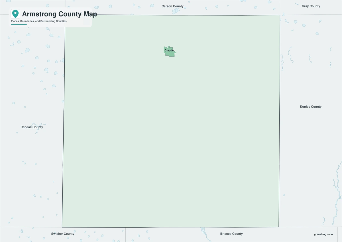
Use the color edition when the county must stand out immediately from the surrounding map. It works well for a location graphic centered on Claude or a short county introduction. The land-water balance is easier to grasp after reading the official area figures above.
A simplified map for documents
For documents and repeated printing, the black-and-white edition is usually the most practical. It preserves the county outline and the reference to Claude while reducing ink use and visual clutter. It can also sit beside a data table without competing with the figures.
A blank boundary map to edit
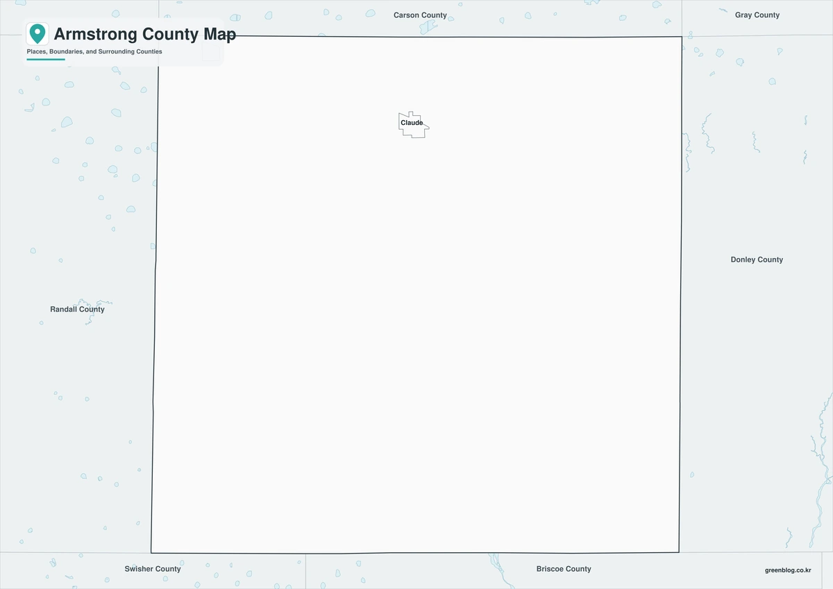
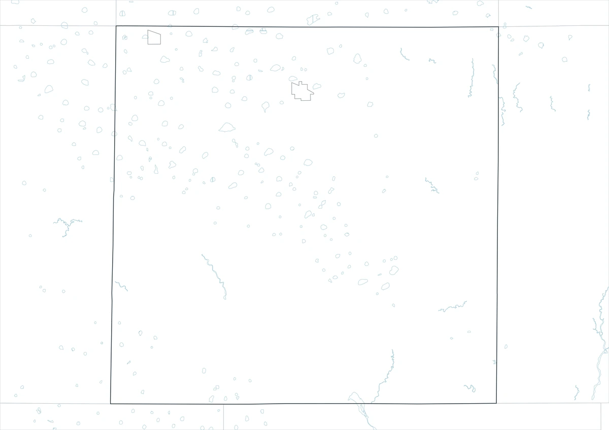
Choose the outline map for custom work. The blank county boundary leaves room for Claude, road connections, field locations, or statistical symbols to be added as needed. This is useful for classroom exercises, local research, and project-specific diagrams.
Get the three A3 maps
The download consists of three A3 JPG files: color, black-and-white, and outline. Use color to view the Armstrong County boundary, monochrome for paper output, or the outline to add locations and routes. All three cover the same geographic extent. For this county, Claude is the administrative reference and 1876 is the creation year.
Armstrong County, Texas Map Download
The ZIP package includes color, black-and-white, and outline maps. Review how the three formats differ before choosing the map that suits the task.
- Map set: Color, black-and-white, and outline maps
- File format: Three high-resolution A3 JPG files in one ZIP
- Suggested uses: Screen reference, printing, worksheets, and custom editing
- Coverage: The complete boundary of Armstrong County, Texas
The download is provided as a ZIP archive. Unzip the archive to work with the three JPG map files separately.
Frequently Asked Questions
Where is the county seat?
The files use the official county boundary for Armstrong County and are intended to show the county as one administrative area within Texas. Local labels can be edited independently because the county outline is not defined by the county seat or any single town.
Which map works best for a printed report?
The print edition preserves readable boundaries and place labels even when a document is reproduced without color. Presentations generally benefit from the color version; mapping projects that require new symbols or routes are better served by the outline.
What is included in the ZIP package?
Yes. The archive contains one color JPG, one black-and-white JPG, and one outline JPG. The separate-file structure supports different uses without requiring the unused versions to be modified.
What can be added to the outline map?
Claude is the county seat and is the clearest first reference for an administrative map. The open map can be customized with communities, roads, sites, categories, or other project-specific information.
References
- U.S. Census Bureau
- 2024 Gazetteer Files
- Texas State Library: Counties and County Seats
- Texas Counties: Year Created and Organized
- Handbook of Texas: county history, geography, and economy
Related Maps
- Tyler County Texas map|Woodville, the Neches River, and Big Thicket
- Wilbarger County Texas map|Vernon, the Pease River, and the Red River
- Stephens County Texas map|Breckenridge Oil Boom, Hubbard Creek Lake, and Brazos Headwaters
- Trinity County Texas map|Groveton, Lake Livingston, and Davy Crockett National Forest
- Stonewall County Texas map|Aspermont, Double Mountain, and the Brazos Forks
Green Map creates custom-edited map images using open geographic data sources such as geoBoundaries, Natural Earth, OpenStreetMap, and government open data.
These maps are edited visual materials, not raw data files, and are provided for education, documents, presentations, and graphic reference.