Carthage sits at the junction of two regional highways in a county shaped by pine forest, natural-gas development, farms, and widely spaced small communities. The Panola County Texas map places Beckville to the west, Gary City to the south, Tatum toward the northwest, and Lake Murvaul west of the county seat. The county had an estimated 23,022 residents in 2024.
Panola County covers 811.36 square miles of land and 9.97 square miles of water. It lies just west of Louisiana, with Harrison County to the north, Rusk County to the west, and Shelby County to the south. The map set is intended to show both the central role of Carthage and the different rural corridors extending toward neighboring counties.
- Continent: North America
- Country: United States
- State: Texas
- County: Panola County
- Location in State: East Texas, west of the Louisiana line in the Sabine River basin
- Adjacent Regions: Harrison County, Rusk County, Shelby County, Gregg County, Marion County, Caddo Parish, De Soto Parish
- Major Places: Carthage, Beckville, Gary City, Tatum
- Geographic Features: Lake Murvaul, Murvaul Bayou, Sabine River basin, pine forests
Table of Contents
Two U.S. highways make Carthage the county crossroads
U.S. 59 provides the principal north-south route through Carthage, linking Marshall and the Interstate 20 region with Nacogdoches and communities farther south. U.S. 79 crosses the same city on an east-west line between Henderson and the Louisiana direction.
County offices, retail services, schools, medical facilities, and cultural institutions are concentrated in Carthage. That combination of public functions and road access makes the city more influential than its population alone would suggest.
Small communities face different neighboring regions
Beckville lies west of Carthage and follows the U.S. 79 corridor toward Rusk County. Gary City is south of the county seat in a more rural agricultural and forest setting. Tatum occupies the northwestern side and extends across the Panola–Rusk county boundary.
These places do not form a single suburban chain. Beckville relates to the Henderson corridor, Tatum also connects with the Longview and East Texas energy region, and Gary City serves a separate southern rural area. County lines and highway direction are therefore important for understanding local travel.
Lake Murvaul provides water and recreation
Lake Murvaul lies on Murvaul Bayou about 15 miles west of Carthage. Texas Parks and Wildlife identifies it as a Panola County reservoir used for fishing and boating, and the Panola County Fresh Water District maintains multiple improved ramps and a fishing pier.
The reservoir was constructed in 1958 within the Sabine River basin. Although water covers only about 1.2 percent of the county’s total area, Lake Murvaul is a major local landmark and a useful geographic reference between Carthage and the western county line.
Natural gas shares the landscape with timber and agriculture
Panola County is part of the East Texas natural-gas region associated with the Haynesville Shale and older producing formations. Well sites, pipelines, service roads, and related traffic appear alongside cattle operations, hay fields, timberland, and rural homes.
Pine forest remains one of the most visible landscape elements. The mix of energy production, forestry, and agriculture produces a dispersed land-use pattern rather than a county dominated by one continuous built-up area.
Population growth has been gradual
The estimated population increased from 22,500 in 2020 to 23,022 in 2024, a gain of about 2.3 percent. Most residents live in Carthage or in small towns and rural communities reached by the main highways and farm-to-market roads.
A Panola County Texas map helps distinguish permanent population centers from the much larger areas devoted to forest, pasture, reservoir shoreline, and energy infrastructure. It also clarifies why some addresses may be closer to a neighboring county’s service center than to another place inside Panola County.
Color Map
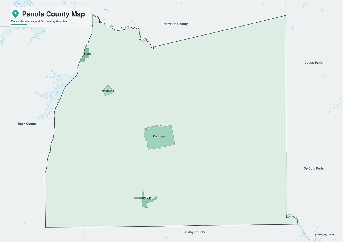
The color edition separates Panola County from Harrison, Rusk, Shelby, Gregg, and Marion counties and from the Louisiana parishes to the east. Carthage forms the central reference, with Beckville to the west, Gary City to the south, and Tatum in the northwest. Lake Murvaul adds a clear natural landmark west of the county seat. The surrounding colors also show how close the eastern side lies to the state line.
Black-and-White Map
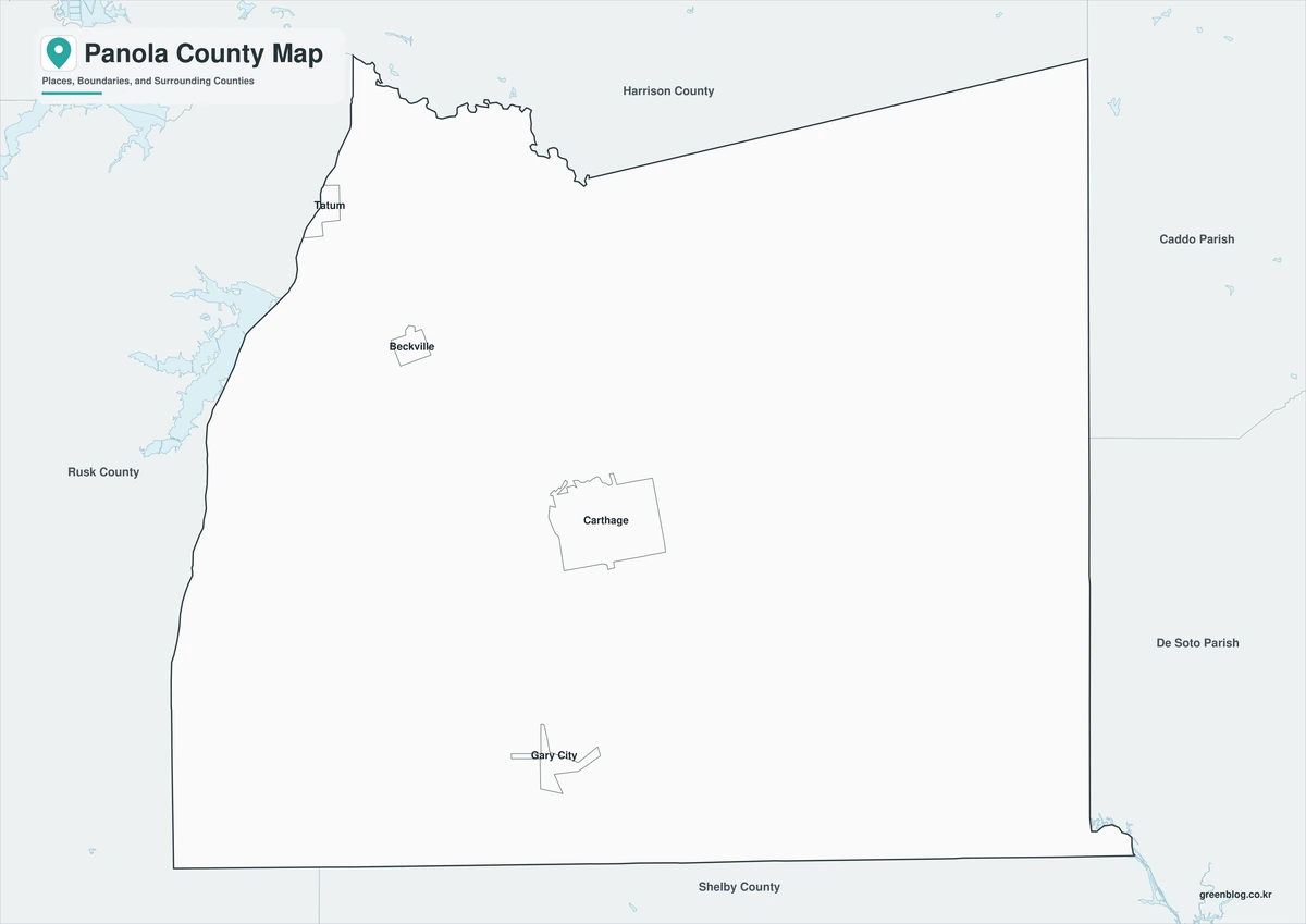
The monochrome version keeps selected place names and boundary lines while removing area colors. Users can trace U.S. 59 north and south from Carthage or follow U.S. 79 toward Beckville and Louisiana. The open background is suitable for project notes, road labels, or printed county reports.
Outline Map
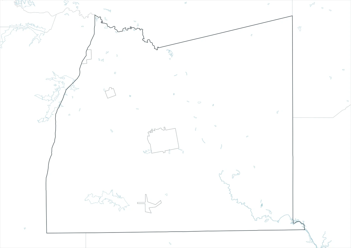
The outline edition removes printed labels and fills, leaving the county perimeter and included internal linework. It can be marked with Carthage, Tatum, Lake Murvaul, U.S. 59, and U.S. 79. Neighboring counties and the Louisiana direction may also be added for a custom East Texas reference.
Download the printable county maps
The A3 JPG package contains color, black-and-white, and outline editions. The labeled versions support quick regional reference, while the blank edition is suited to highway notes, classroom work, reservoir labeling, and custom graphics.
County Map File Information
The file set provides three Panola County map treatments for different uses. The color and monochrome editions retain selected place names, while the outline edition leaves a clean boundary base for user-added information.
- Included Versions: Color, Black and White, Outline
- File Type: JPG
- Printable Size: A3
- Map Coverage: County perimeter, included internal boundaries, neighboring regional context
- Suggested Uses: Printing, lessons, reports, route notes, reservoir labels, and custom annotations
Frequently Asked Questions
What is the county seat of Panola County?
Carthage is the county seat and the main center for government, shopping, education, and regional services.
Where is Lake Murvaul located?
The reservoir is on Murvaul Bayou about 15 miles west of Carthage within Panola County.
Is all of Tatum inside Panola County?
No. Tatum extends across the boundary between Panola and Rusk counties, so an exact address may fall in either county.
Official data and regional references
- U.S. Census Bureau QuickFacts — Federal population and county statistics.
- Panola County, Texas — Official county-government and public-service information in Carthage.
- Texas Parks and Wildlife: Lake Murvaul — Official reservoir location and fishing information.
- Lake Murvaul Public Access — Boat-ramp and fishing-pier information maintained with the local fresh-water district.
- TxDOT Atlanta District — Transportation information for U.S. 79 and other Panola County road projects.
Related Maps
- Upshur County Texas map|Gilmer, Big Sandy, and Lake O’ the Pines
- Sterling County Texas map|Sterling City, North Concho Ranchland, and Oil Country
- Walker County Texas map|Huntsville, Sam Houston National Forest, and Lake Livingston
- Free Printable Texas Map Set for Education, Presentations and Editing
- Potter County Texas map|Amarillo crossroads, Canadian River breaks, and Panhandle routes
Green Map creates custom-edited map images using open geographic data sources such as geoBoundaries, Natural Earth, OpenStreetMap, and government open data.
These maps are edited visual materials, not raw data files, and are provided for education, documents, presentations, and graphic reference.