Presidio County stretches from the grasslands around Marfa to the Rio Grande border at the City of Presidio. A Presidio County Texas map must preserve that distance because the county covers 3,855.25 square miles of land while holding an estimated population of only 5,686 in 2024. Marfa, Presidio, Shafter, and the scattered ranching communities occupy very different terrain and serve different regional functions.
The county’s long southern and western edge follows Mexico, while Jeff Davis County lies to the north and Brewster County borders the east. Mountain ranges, desert basins, the Marfa Plateau, and the Rio Grande valley create sharp changes in elevation and settlement. The three map editions below provide labeled reference, monochrome printing, and a blank base for custom geographic work.
Continent: North America
Country: United States
State: Texas
County: Presidio County
Location in State: Far West Texas, Trans-Pecos and Mexico border
Adjacent Regions: Jeff Davis County, Brewster County, Hudspeth County, Chihuahua, Mexico
Major Places: Marfa, Presidio, Shafter, Ruidosa
Geographic Features: Rio Grande, Marfa Plateau, Chinati Mountains, Big Bend Ranch State Park
Table of Contents
A border county larger than many small states
Presidio County is one of the largest counties in Texas by area, yet its population density is only about 1.5 people per square mile. The open spaces between communities contain working ranches, desert grassland, mountain ranges, public land, and long road corridors rather than a continuous network of towns.
The Rio Grande forms roughly 135 miles of the county’s international boundary. Across the river are communities and municipalities in Chihuahua, Mexico, including Ojinaga opposite the City of Presidio. Although basic area statistics show very little surface water, the river remains the county’s defining political and historical boundary.
Marfa grew from the railroad, not the border
Marfa lies on the northeastern plateau at the junction of U.S. 67 and U.S. 90. It began in 1883 as a railroad water stop and freight location, then became the county seat in 1885. The courthouse, county offices, and regional services remain centered there.
The City of Presidio developed in a different setting along the Rio Grande. It faces Ojinaga and functions as a border-trade and transportation center. The county seat and the border city are therefore separated not only by miles, but also by elevation, landscape, and economic role.
Silver mining left a town in the Chinati country
Shafter emerged after silver discoveries in the Chinati Mountains during the 1880s. The mine became one of the county’s most important industrial sites and produced silver over several decades. When mining declined, the company town lost most of its population, but its name remains a key landmark between Marfa and Presidio.
The mining story adds another layer to a county often described only through ranching, art, or the international border. Historic settlement followed water, mineral deposits, trade routes, and transportation access in different periods, producing widely separated places rather than one continuous corridor.
Fort Leaton and the river road
Fort Leaton stands east of the City of Presidio near FM 170. The large adobe complex served nineteenth-century travelers and traders on the Chihuahua Trail and now operates as a state historic site. It also functions as the western orientation point for Big Bend Ranch State Park.
FM 170 follows the Rio Grande eastward through some of the most rugged scenery in the region. The road links the Presidio area with the state park and communities toward Brewster County, while steep terrain and remote conditions keep travel slower than a simple distance measurement may suggest.
US 67 connects the plateau to the port of entry
U.S. 67 descends from Marfa through the mountain country toward Shafter and the Presidio–Ojinaga Port of Entry. TxDOT’s corridor planning treats the highway as part of a 142-mile regional route connecting Interstate 10, Alpine, Marfa, Presidio, and border destinations.
U.S. 90 provides Marfa’s principal east-west connection, while FM 170 serves the river corridor. On a Presidio County Texas map, these routes explain why travel is concentrated in a few passages across an otherwise immense and rugged landscape.
Population change in two distant centers
The estimated population declined from 6,107 in 2020 to 5,686 in 2024, a decrease of about 6.9 percent. Most residents are concentrated in and around Marfa and Presidio, with smaller populations in rural communities and ranching areas.
Countywide statistics can obscure the different needs of the two centers. Marfa handles county government and plateau-based services, while Presidio is oriented toward the border, agriculture in the river valley, international movement, and access to the western Big Bend country.
Color Map
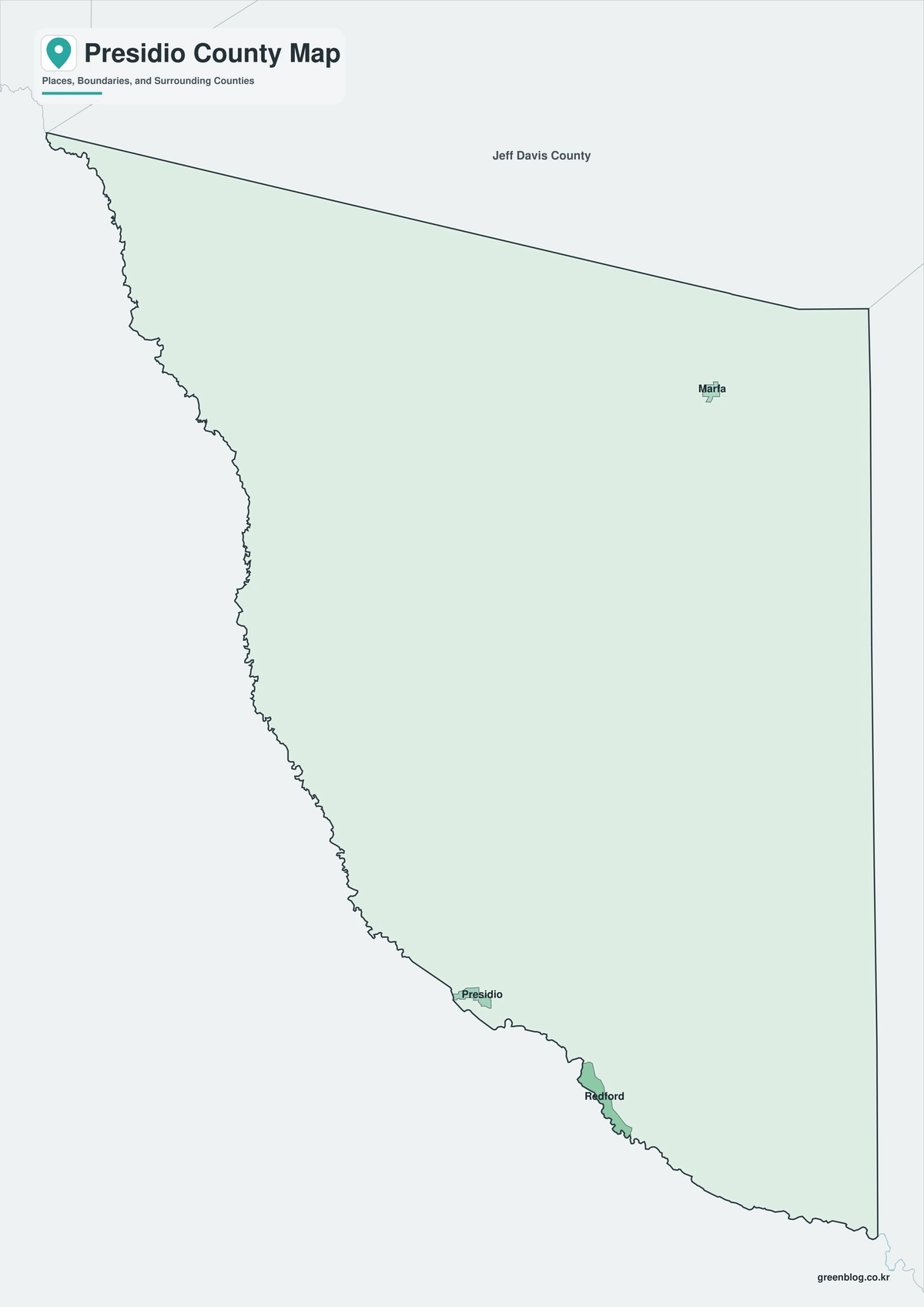
The color version distinguishes Presidio County from Jeff Davis, Brewster, and Hudspeth counties and from Chihuahua across the Rio Grande. Marfa appears in the northeast, Presidio in the southwest, and Shafter between them near the Chinati Mountains. The large colored interior emphasizes how much territory separates the named communities.
Black-and-White Map
The monochrome edition retains selected labels and boundary lines for clean printing. Users can trace U.S. 67 from Marfa to Presidio, compare the Rio Grande edge with the northern county line, or add notes about mountain ranges and state park access without competing with colored areas.
Outline Map
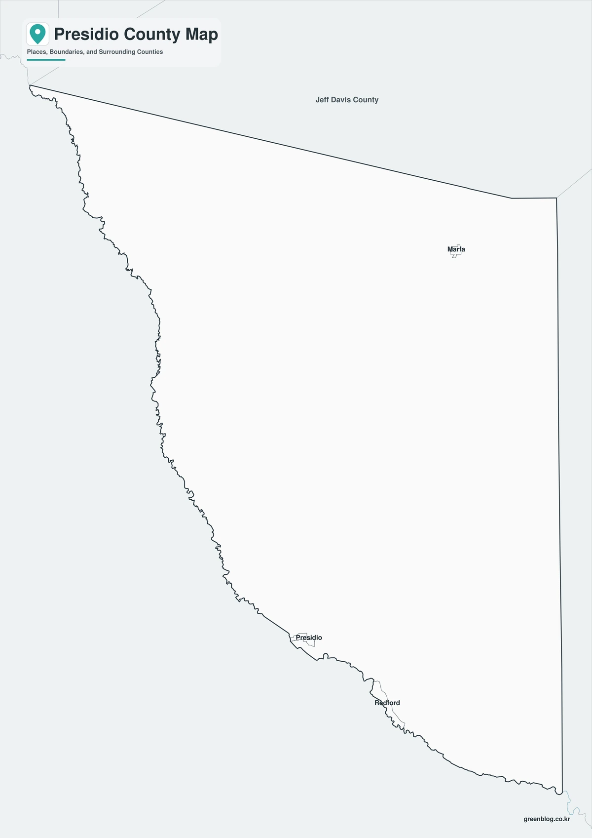
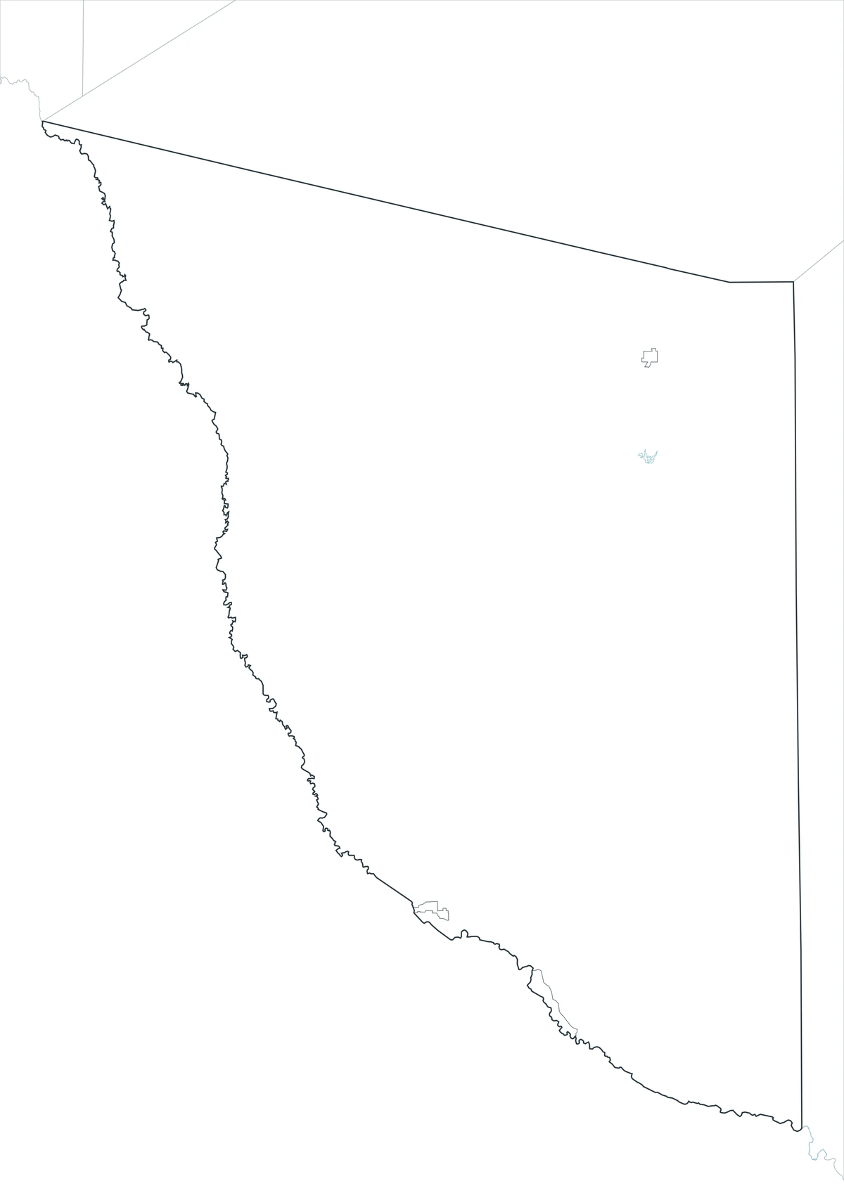
The outline file removes names and fills, leaving the county perimeter and included internal linework. It can be labeled with Marfa, Presidio, Shafter, the Rio Grande, Chinati Mountains, or the principal highways. The broad blank spaces also make it useful for demonstrating low population density and long travel distances.
Download the printable county maps
The A3 JPG set includes color, black-and-white, and outline editions. The labeled versions support regional reference and print layouts, while the blank edition is designed for classroom exercises, route marking, and custom graphics.
County Map File Information
The download includes three Presidio County map styles. Selected community names appear on the color and monochrome editions, while the outline edition retains boundary linework without labels or area fills.
- Included Versions: Color, Black and White, Outline
- File Type: JPG
- Printable Size: A3
- Map Coverage: County perimeter, included internal boundaries, neighboring regional context
- Suggested Uses: Printing, lessons, reports, presentations, route marking, and custom labels
Frequently Asked Questions
Is the City of Presidio the county seat?
No. Marfa is the county seat. The City of Presidio is the principal border community on the Rio Grande opposite Ojinaga, Mexico.
Which highway connects Marfa and Presidio?
U.S. 67 connects the two cities and continues to the Presidio–Ojinaga Port of Entry.
Does Big Bend National Park lie in Presidio County?
No. Big Bend National Park is mainly in neighboring Brewster County. Presidio County includes access to Big Bend Ranch State Park along the Rio Grande corridor.
Official data and regional references
- U.S. Census Bureau QuickFacts — Federal population and geographic statistics for Presidio County.
- Presidio County, Texas — Official courthouse and county-government information in Marfa.
- Handbook of Texas: Presidio County — Historical background on changing county boundaries, Marfa, ranching, and mining.
- Fort Leaton State Historic Site — Texas Parks and Wildlife information about the adobe trading post and western entrance to Big Bend Ranch State Park.
- TxDOT U.S. 67 Corridor Master Plan — Transportation context for the route connecting Marfa, Presidio, and the international port of entry.
Related Maps
- Swisher County Texas map|Tulia, I-27 Farm Towns, and Tule Canyon
- Upton County Texas map|Rankin, McCamey, and West Texas Oil Country
- Van Zandt County Texas map|Canton, Grand Saline, Van, and Lake Tawakoni
- Sutton County Texas map|Sonora, Caverns, Ranch Country, and Two Watersheds
- San Patricio County Texas map|Rail Towns, Ship Channel Industry, and Coastal Bend Growth
Green Map creates custom-edited map images using open geographic data sources such as geoBoundaries, Natural Earth, OpenStreetMap, and government open data.
These maps are edited visual materials, not raw data files, and are provided for education, documents, presentations, and graphic reference.