A railroad metropolis, an Air Force base, university campuses, ranch country, and the former county seat at a mountain pass all fit within Taylor County, Texas. A Taylor County Texas map uses Abilene as the dominant northeast anchor while preserving the separate identities of Tye, Merkel, Buffalo Gap, Tuscola, Lawn, and Trent.
The Census Bureau estimated 150,077 residents on July 1, 2025, 4.8 percent above the 2020 estimate base. Most residents and services are primarily found in Abilene, yet understanding Taylor County’s geography becomes clearer by mapping the western railroad corridor and southern divide communities individually.
Table of Contents
The Callahan Divide Splits Two Watersheds
The Callahan Divide crosses Taylor County from east to west and separates drainage toward the Brazos River from drainage toward the Colorado River. Elevation rises across the southern and central hills, creating a clear contrast with the flatter Rolling Plains around northern Abilene.
Buffalo Gap is a low passage through the divide where buffalo, hunters, ranchers, and early roads crossed the hills. Elm Creek flows through the community, while Cedar and Catclaw creeks help define the Abilene area farther north. The divide is therefore both a physical boundary and a central part of settlement history.
Abilene Replaced the First County Seat
Taylor County was created in 1858 and organized in 1878 with Buffalo Gap as county seat. That community had water, a defensible pass, and access to early trails, but it did not receive the Texas and Pacific Railway.
Railroad promoters established Abilene on the northern route in 1881. Shipping, land sales, business growth, and immigration followed the tracks, and voters transferred the county seat to Abilene in 1883. The shift demonstrates how rail access could outweigh an older settlement’s geographic advantages.
A Regional Center for Universities and Medicine
Abilene developed far beyond its original role as a cattle-shipping and trade town. Abilene Christian University, Hardin-Simmons University, and McMurry University give the city an unusually strong higher-education presence for its size.
Hospitals, clinics, retail, public agencies, cultural institutions, and transportation services draw residents from a broad West Texas service area. Interstate 20 and U.S. Highways 83, 84, and 277 reinforce Abilene’s position between the Panhandle, the Permian Basin, Central Texas, and the Dallas–Fort Worth region.
Dyess Air Force Base Changed the Western Edge
The field south of Tye began as Tye Army Air Field during World War II. After a postwar closure and brief municipal-airport use, it reopened in 1956 and was renamed Dyess Air Force Base in honor of William Edwin Dyess.
Bomber and airlift operations brought military personnel, civilian employment, housing, roads, and federal investment to western Abilene and nearby Tye. The base remains a major economic and geographic landmark, although operational boundaries and access points should never be inferred from a general county map.
Railroad Towns West of Abilene
Tye, Merkel, and Trent occupy the broad east-west transportation corridor. Tye began as a Texas and Pacific townsite and expanded as Abilene and the air base grew. Merkel developed into a farm-market community with rail service, grain and cotton trade, local businesses, and the long-running Merkel Mail.
South of that corridor, Tuscola, Buffalo Gap, and Lawn serve ranching and residential districts near the divide. Their smaller size does not make them interchangeable: each marks a different route, watershed position, or local service area.
Reservoirs and Urban Water Geography
Lake Abilene lies south of the city near Buffalo Gap, while Kirby Lake and Lytle Lake occupy the southeastern Abilene area. Fort Phantom Hill Reservoir is north of Abilene near the Jones County line and has long supported water supply and recreation.
These water bodies help divide the county into northern, southern, and urban reference zones. Current levels, boat access, flood conditions, and water-management rules must be obtained from city and reservoir authorities rather than this general map.
County Reference Table
| County seat and largest city | Abilene |
|---|---|
| Western corridor communities | Tye, Merkel, and Trent |
| Southern divide communities | Buffalo Gap, Tuscola, and Lawn |
| 2025 population estimate | 150,077 |
| Major military facility | Dyess Air Force Base |
| Watershed boundary | Callahan Divide |
| Major reservoirs | Lake Abilene, Kirby Lake, Lytle Lake, Fort Phantom Hill Reservoir |
Color Map
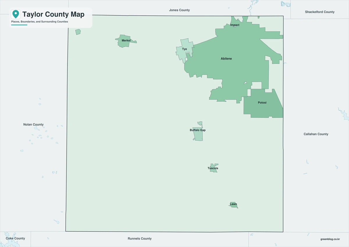
The color edition separates Taylor County from Fisher, Jones, Callahan, Coleman, Runnels, and Nolan counties. Abilene occupies the northeast, while Tye and Merkel extend the western corridor and Buffalo Gap and Tuscola mark the southern divide. Lake Abilene, Fort Phantom Hill Reservoir, and the Callahan Divide provide natural reference points within the colored county framework.
Black-and-White Map
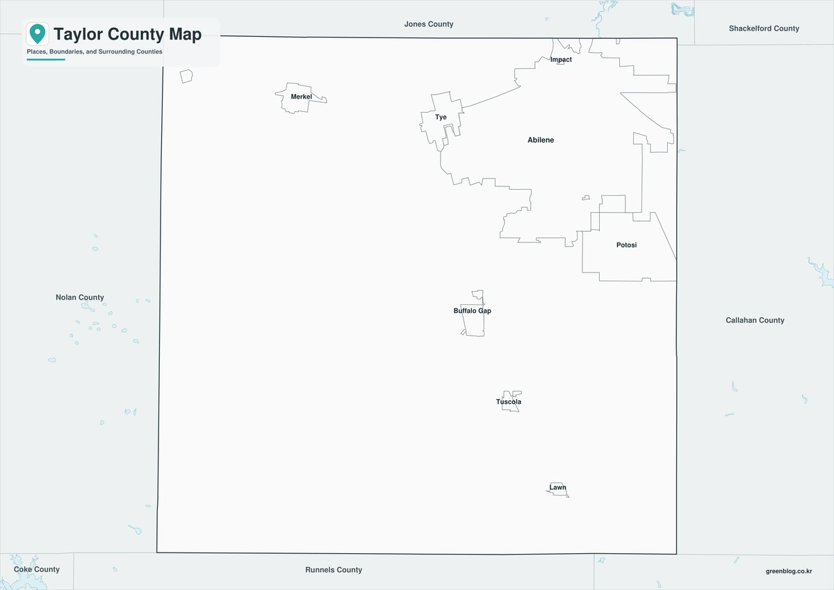
County fills are removed while selected place names, reservoirs, and boundary lines remain. The relationship between Abilene, Dyess Air Force Base, Tye, and Merkel stays readable without color. This version is suited to monochrome reports and historical transportation comparisons.
Outline Map
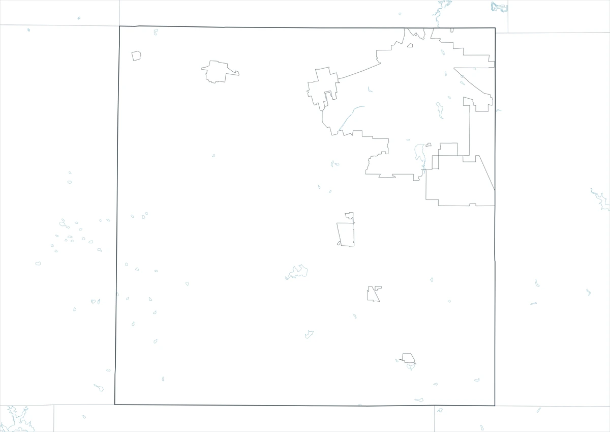
The outline sheet removes colors and labels while preserving Taylor County and adjacent-county boundaries. Users can add the Callahan Divide, Elm and Cedar creeks, reservoir locations, the railroad corridor, Dyess AFB context, or university and medical-service themes from verified data.
Download the County Map Set
The Taylor County Texas map set contains color, black-and-white, and outline A3 JPG files. The labeled sheets provide quick orientation, while the blank framework is designed for custom graphics such as watershed, transportation, military history, population data, and regional services.
County Map File Information
The download contains color, black-and-white, and outline Taylor County maps. Selected communities and geographic references appear on the first two sheets, while the outline version keeps county context without fills or labels.
- Included Versions: Color, Black and White, Outline
- File Type: JPG
- Printable Size: A3 high-resolution layout
- Map Coverage: County boundary, adjacent counties, selected communities, creeks, and reservoirs
- Intended Use: Printing, reports, teaching, presentations, and custom regional analysis
Frequently Asked Questions
Why is Abilene located near the county’s northeast side?
The Texas and Pacific Railway chose a northern route through Taylor County and established the townsite, moving both population and governance away from Buffalo Gap.
What separates Taylor County’s northern and southern drainage?
The Callahan Divide is the principal topographic boundary between the Brazos and Colorado river basins.
Does the map show secure areas at Dyess AFB?
No. It provides only general county context. Access, gates, security zones, and operational information must come from official military sources.
Sources and Further Reading
Population figures come from the U.S. Census Bureau QuickFacts profile. The Handbook of Texas county entry supports the terrain, settlement, railroad, reservoir, and economic discussion. Separate entries for Abilene, Buffalo Gap, Tye, Merkel, and Dyess Air Force Base provide local details.
Use current county, municipal, transportation, military, water, flood-control, appraisal, and environmental records for legal boundaries, parcels, roads, base access, flood decisions, and reservoir operations.
Related Maps
- Zavala County Texas map|Crystal City, La Pryor, Batesville, and the Nueces River
- Titus County Texas map|Mount Pleasant, Pine Country, and Two Lakes
- Wilbarger County Texas map|Vernon, the Pease River, and the Red River
- Sterling County Texas map|Sterling City, North Concho Ranchland, and Oil Country
- Tyler County Texas map|Woodville, the Neches River, and Big Thicket
Green Map creates custom-edited map images using open geographic data sources such as geoBoundaries, Natural Earth, OpenStreetMap, and government open data.
These maps are edited visual materials, not raw data files, and are provided for education, documents, presentations, and graphic reference.