A straight interstate corridor, heavily cultivated plains, and a creek that suddenly cuts into canyon country define this part of the Texas High Plains. A Swisher County Texas map places Tulia in the center, Happy toward the Randall County line, and Kress near the southern farming district.
The Census Bureau estimated 6,703 residents on July 1, 2025, down 3.9 percent from the 2020 estimate base. Tulia remains the county seat and largest service center, while Happy and Kress support surrounding farms, grain handling, schools, and local commerce.
Table of Contents
From Open Ranch to Intensively Farmed Plains
The eastern part of the county was once dominated by the JA Ranch and Charles Goodnight’s Tule Ranch division. Settlement remained sparse until shallow groundwater and windmills allowed stock farmers to establish independent operations across the plains. By the early twentieth century, ranch country was being converted into a dense patchwork of farms.
Irrigation later expanded production of corn, cotton, wheat, and grain sorghum. Feedlots and stocker cattle became major sources of agricultural income, giving the county a combined crop-and-livestock economy. From above, center-pivot circles and straight section roads now form the most recognizable land-use pattern.
The Railroad Created a North-South Town Chain
A Santa Fe branch reached the county in 1906 and later connected Amarillo with Plainview and Lubbock. Tulia gained direct access to regional markets, while Happy and Kress developed or relocated beside the tracks. Grain elevators, lumberyards, banks, depots, and farm businesses followed the rail corridor.
The modern transportation spine is Interstate 27, built along the same broad north-south movement between Amarillo and Lubbock. Happy occupies the northern edge of the county, Tulia anchors the center, and Kress serves the southern district near Hale County.
Tule Creek Breaks the Flat Horizon
North, Middle, and South Tule draws begin west of Tulia and combine into Tule Creek east of the county seat. The stream has little effect on the broad upland at first, but in eastern Swisher County it enters Tule Canyon and flows toward the Palo Duro Canyon system.
Mackenzie Reservoir extends near the Swisher–Briscoe county line and was developed for municipal water supply and recreation. Tule Lake, which was once a reliable water source northeast of Tulia, now experiences reduced spring flow due to declining groundwater levels, making it mostly dry except during heavy rains.
Tulia, the City of Windmills
Tulia became county seat when Swisher County organized in 1890. Its name is generally attributed to a spelling change from Tule, the nearby creek and earlier post office name. W. G. Conner donated land for the courthouse, school, and park, helping the town secure its public role.
Between 1910 and 1920, the many windmills around Tulia led to the nickname City of Windmills. The town later became a stop on the Ozark Trail and developed paved streets, utilities, hospital services, agricultural businesses, and annual community events.
Happy and Kress Developed Different Identities
Happy took its name from Happy Draw, where cowboys were said to celebrate finding water. When the railroad bypassed the original settlement, promoters moved the town west to the tracks. Grain elevators and farm-related businesses shaped its skyline, and the town adopted the slogan “the town without a frown.”
Kress began as Wright on a stage route before the railroad caused the store and post office to move southwest. The renamed town promoted itself as a trade center and quickly added banks, hotels, lumberyards, telegraph service, and a depot. Its location still marks the southern agricultural side of the county.
County Reference Table
| County seat | Tulia |
|---|---|
| Northern town | Happy |
| Southern town | Kress |
| 2025 population estimate | 6,703 |
| Main transportation route | Interstate 27 |
| Primary drainage | Tule Creek and its three draws |
| Eastern landform | Tule Canyon |
Color Map
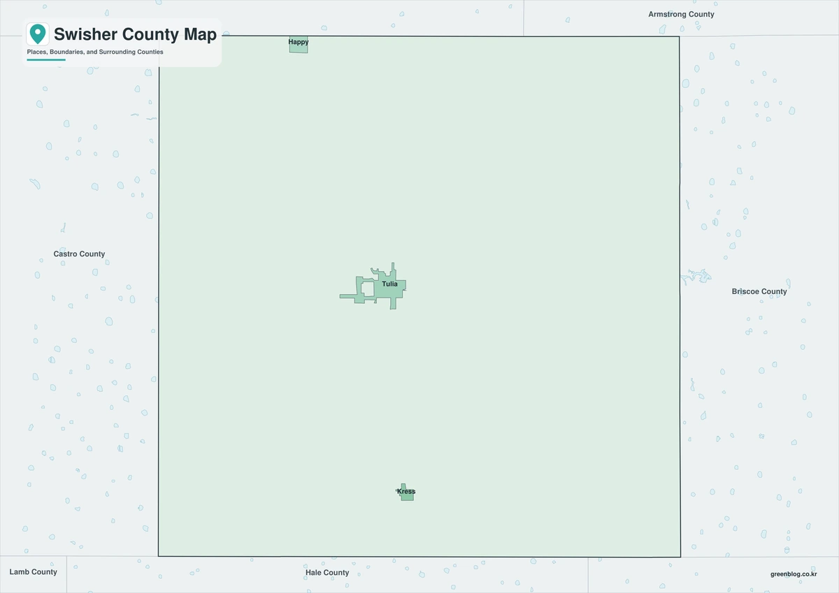
The color edition separates Swisher County from Castro, Randall, Armstrong, Briscoe, Floyd, and Hale counties. Happy, Tulia, and Kress form a north-south sequence along I-27, while Claytonville and Vigo Park provide rural references away from the main corridor. The Tule draws and Tule Creek show where the level Llano Estacado begins to break toward the canyon country on the east.
Black-and-White Map
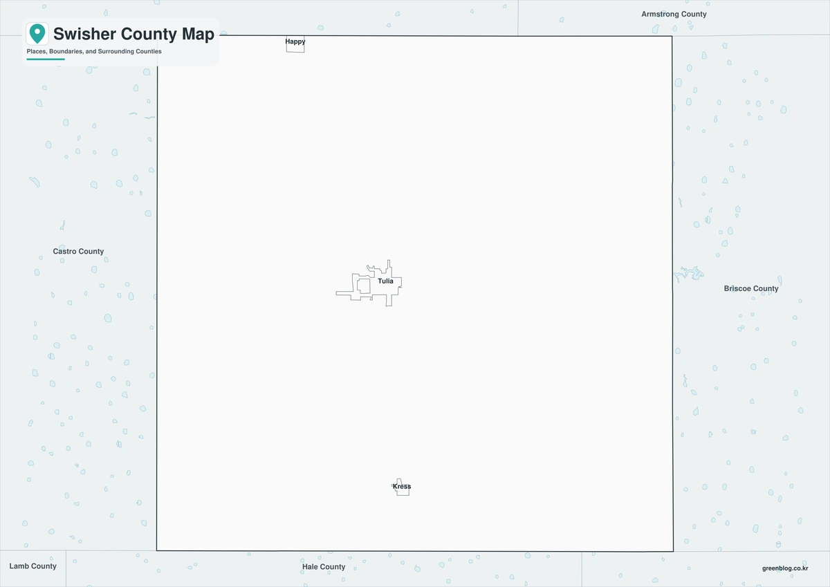
County fills are removed while boundaries and selected labels remain. Tulia’s central position and the spacing between Happy and Kress keep things clear, making it useful for black-and-white printing, agricultural reports, and transportation comparisons.
Outline Map
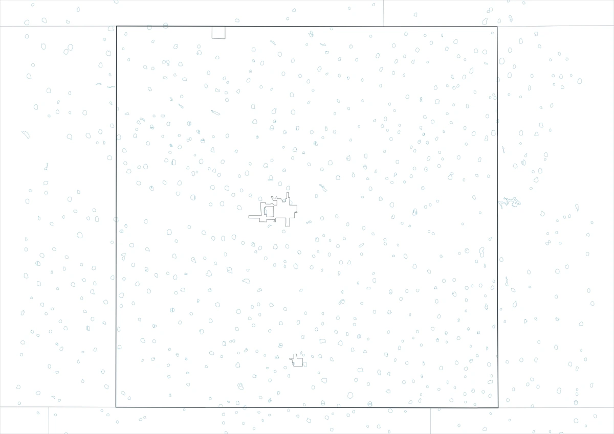
The outline sheet removes colors and names while retaining Swisher County and adjacent-county boundaries. Users can trace Tule Creek, mark I-27 and the old rail corridor, map irrigation areas, or add crop, feedlot, groundwater, and canyon themes from current data.
Download the Printable Maps
The Swisher County Texas map set contains color, black-and-white, and outline A3 JPG files. The labeled sheets provide quick geographic orientation, whereas the blank boundary version is tailored for custom agricultural, water, transportation, and historical graphics.
County Map File Information
The download contains color, black-and-white, and outline Swisher County maps. Selected towns and geographic references appear on the first two sheets, while the outline version keeps boundaries without fills or labels.
- Included Versions: Color, Black and White, Outline
- File Type: JPG
- Printable Size: A3 high-resolution layout
- Map Coverage: County boundary, adjacent counties, selected towns, and drainage context
- Intended Use: Printing, reports, teaching, presentations, and custom annotations
Frequently Asked Questions
Why are Happy, Tulia, and Kress aligned north to south?
The Santa Fe railroad established the historic corridor, and U.S. 87 followed by Interstate 27 reinforced the same transportation pattern between Amarillo and Lubbock.
Is Tule Lake a permanent lake today?
No. Groundwater decline reduced the spring flow that once supplied it, so the basin generally holds water only after significant rainfall.
Does the outline map include irrigation circles?
No. It provides a blank county framework. Current irrigation, groundwater, crop, and feedlot information must be added from verified agricultural and GIS sources.
Sources and Further Reading
Population data come from the U.S. Census Bureau QuickFacts profile. The Handbook of Texas county entry supports the settlement, railroad, agriculture, transportation, and terrain discussion. Separate entries for Tulia, Happy, Kress, and Tule Creek provide local details.
Use current GIS data for legal boundaries, parcels, roads, irrigation, water supply, and operational planning to ensure accurate legal boundaries and efficient resource management.
Related Maps
- Trinity County Texas map|Groveton, Lake Livingston, and Davy Crockett National Forest
- Washington County Texas map|Brenham, Burton, and Lake Somerville
- Victoria County Texas map|Victoria, the Guadalupe River, and Coleto Creek Reservoir
- Zavala County Texas map|Crystal City, La Pryor, Batesville, and the Nueces River
- Webb County Texas map|Laredo, Rio Bravo, and the Rio Grande
Green Map creates custom-edited map images using open geographic data sources such as geoBoundaries, Natural Earth, OpenStreetMap, and government open data.
These maps are edited visual materials, not raw data files, and are provided for education, documents, presentations, and graphic reference.