One interstate crossroads, a highly decorated cave system, and drainage toward both the Llano and Devils rivers define this part of the Edwards Plateau. A Sutton County Texas map centers on Sonora, then spreads across ranches, limestone hills, dry draws, and the historic Camp Allison site near the North Llano River.
The Census Bureau estimated 3,203 residents on July 1, 2025. Sonora contains almost all county government, schools, medical care, retail, lodging, and highway services. The surrounding land is primarily ranch country.
Table of Contents
Ranching Before Reliable Transportation
Permanent surface water is limited across much of the Edwards Plateau, so early settlement depended on successful wells. Wind-powered pumps made remote grazing land practical, and fences followed as ranchers protected water points and grass. Cattle, sheep, and Angora goats were central to the county, while the 1916 agricultural experiment station and wool and mohair handling gave Sonora a specialized ranching role.
How Sonora Won the County Seat
Sutton County was created from eastern Crockett County in 1887 and organized in 1890. Sonora competed with Wentworth for the courthouse, but Charles Adams secured a dependable well and attracted settlers with land offers. Sonora won the election, developed public and commercial functions, and outlasted Wentworth.
Two Watersheds Leave the Same County
The North Llano River rises in west-central Sutton County and runs east toward Kimble County. Camp Allison developed near this river as a small supply point before losing its post office and town status. In the southwest, Dry Devils River and several draws gather into the upper Devils River system, so the county drains in two different directions.
Caverns, Energy, and Highway Services
The Caverns of Sonora lie southwest of town in limestone country near Interstate 10 and are known for dense, actively growing formations. Oil and gas production expanded after World War II and surged during the 1970s, bringing workers and infrastructure investment. Today tourism, ranching, energy, and highway services share the local economy.
County Reference Table
| County seat and city | Sonora |
|---|---|
| Historic southeastern place | Camp Allison |
| 2025 population estimate | 3,203 |
| Main highway junction | Interstate 10 and U.S. 277 |
| Eastern drainage | North Llano River |
| Southwestern drainage | Dry Devils River and Devils River headwaters |
| Major visitor site | Caverns of Sonora |
Color Map
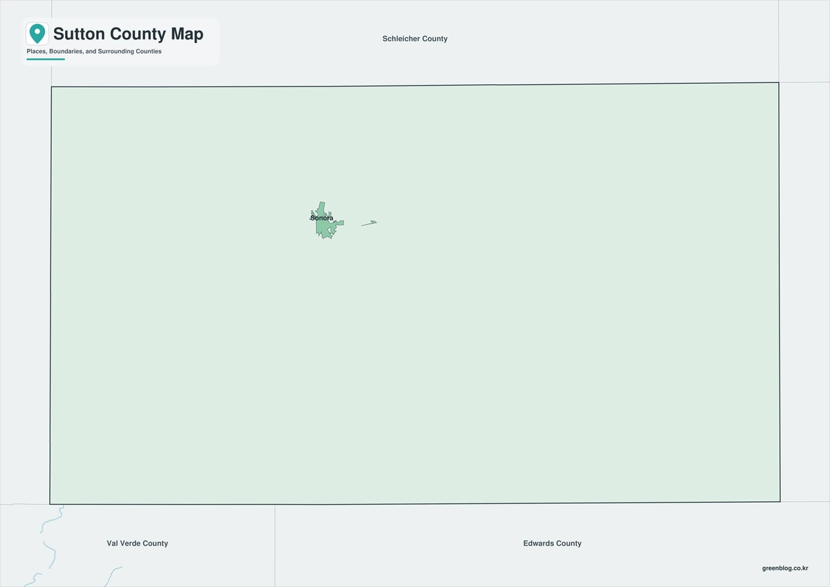
The color edition separates Sutton County from Crockett, Schleicher, Kimble, Edwards, and Val Verde counties. Sonora anchors the north-central highway junction, while Camp Allison provides a southeastern reference near the North Llano River. The map also distinguishes the east-flowing Llano drainage from the Dry Devils and Devils River headwaters in the southwest.
Black-and-White Map
County fills are removed while boundaries and selected names remain. Sonora’s position between Crockett and Kimble counties is easily comparable, and the southeast direction towards Camp Allison is clearly marked on the monochrome map.
Outline Map
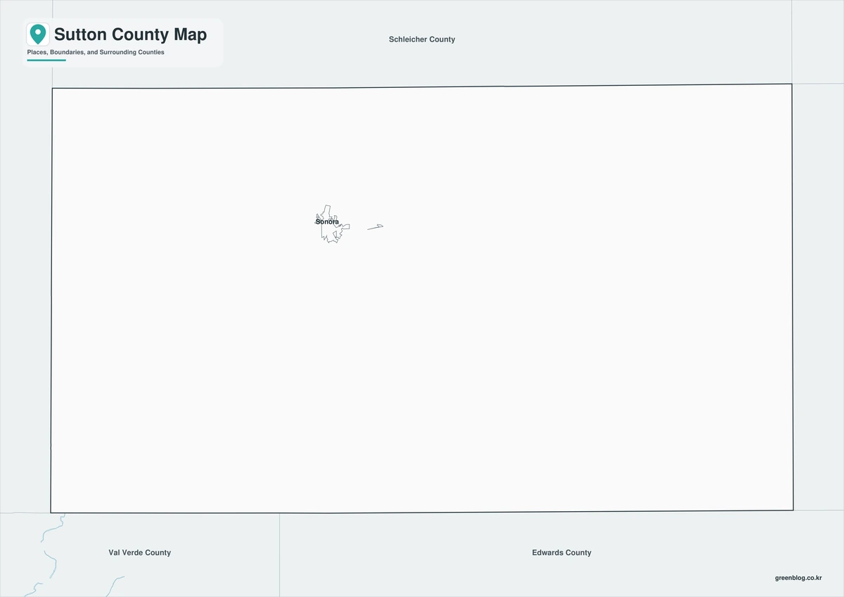
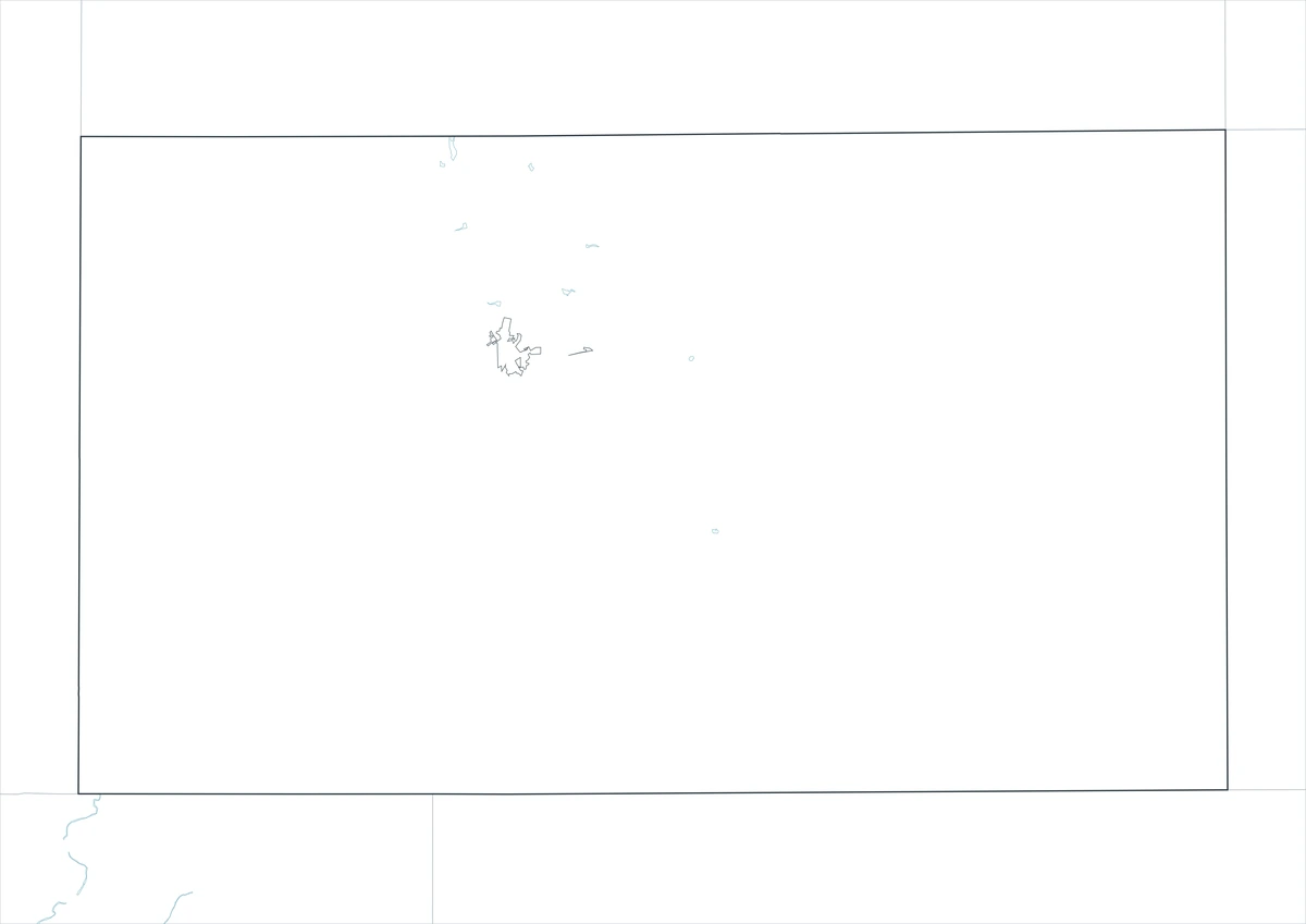
The outline sheet removes colors and labels while retaining Sutton County and adjacent-county boundaries. Users can add Caverns of Sonora, trace Interstate 10, mark North Llano and Dry Devils systems, or create custom graphics for ranching, tourism, flood control, and energy.
Download the Printable Maps
The Sutton County Texas map set contains color, black-and-white, and outline A3 JPG files. The labeled sheets support general orientation, while the blank boundary version is designed for custom geographic and thematic annotations.
County Map Details
The download contains color, black-and-white, and outline Sutton County maps. Selected place and geographic labels appear on the first two sheets, while the outline version keeps boundaries without fills or names.
- Included Versions: Color, Black and White, Outline
- File Type: JPG
- Printable Size: A3 high-resolution layout
- Map Coverage: County boundary, neighboring counties, selected places, and watershed context
- Intended Use: Printing, reports, teaching, presentations, and custom annotations
Frequently Asked Questions
Why did Sonora outlast Wentworth?
Sonora secured a dependable well, attracted settlers, won the county-seat election, and developed the public and commercial functions that Wentworth lacked.
Does Camp Allison still operate as a town?
No. It is a historic community site near the North Llano River rather than an active incorporated town.
Can this map be used to plan a cave visit?
It can show county context, but current directions, tour availability, access rules, and safety information must come from the cave operator.
Sources and Further Reading
Population data come from the U.S. Census Bureau QuickFacts profile. The Handbook of Texas county entry supports the settlement, ranching, tourism, and energy discussion. Separate entries for Sonora, Camp Allison, Llano River, and Dry Devils River provide local detail.
Use current county, transportation, water, flood-control, cave-operator, appraisal, and energy-agency records for legal boundaries, parcels, navigation, access, flood decisions, wells, and pipelines. These records help in managing various aspects of Sutton County effectively.
Related Maps
- Travis County Texas map|Austin, Lake Travis, and the Colorado River
- Waller County Texas map|Hempstead, Prairie View, and the Brazos River
- Williamson County Texas map|Georgetown, Round Rock, Cedar Park, and Leander
- Wise County Texas map|Decatur, Bridgeport, and Lake Bridgeport
- Val Verde County Texas map|Del Rio, Lake Amistad, and Devils River
Green Map creates custom-edited map images using open geographic data sources such as geoBoundaries, Natural Earth, OpenStreetMap, and government open data.
These maps are edited visual materials, not raw data files, and are provided for education, documents, presentations, and graphic reference.