The Yoakum County Texas map covers a sparsely populated West Texas county along the New Mexico line, including Plains, Denver City, Mustang Draw, Southern High Plains farms, ranches, and Permian Basin oil fields.
The U.S. Census Bureau estimated 7,438 residents on July 1, 2025, a 3.3% decrease from the April 2020 estimates base. Plains is the county seat.
Table of Contents
Map Coverage and Three A3 Versions
The download includes color, black-and-white, and outline maps. The labeled versions locate Plains, Denver City, neighboring counties, dry drainage features, farms, and broad energy-production areas.
This Yoakum County Texas map focuses on the county boundary and its relationship to Cochran, Terry, and Gaines counties and Lea County in New Mexico. It is not an oil-well map, pipeline map, irrigation survey, mineral-rights map, road atlas, or parcel map.
| Item | Verified Detail |
|---|---|
| Location | West Texas Southern High Plains |
| County Seat | Plains |
| 2025 Population Estimate | 7,438 |
| Major Cities | Plains and Denver City |
| Major Industries | Oil and gas, cotton and peanut farming, ranching, and oilfield services |
| Natural Features | Mustang Draw, Southern High Plains, playa lakes, and arid grassland |
| Regional Character | Low-density agricultural and energy-production landscape with small-city settlement |
Plains and County Government
Plains is the county seat and contains the courthouse, principal county offices, schools, libraries, healthcare, and local commerce. The official county website lists the courthouse at Cowboy Way and Avenue G.
Cotton and peanut farms, ranches, oilfield roads, and low-density housing surround the town.
Denver City and Southeastern Yoakum County
Denver City is the county’s largest population center, with part of its wider urban area extending toward Gaines County. Schools, healthcare, commerce, and oilfield-service businesses support the community.
Producing wells, storage facilities, work roads, and cultivated fields surround the city. Current official guidance is required for industrial access and safety.
Permian Basin Energy Activity
Yoakum County lies in the northwestern Permian Basin energy region. Oil and gas drilling, production, transportation, and support services strongly influence land use and local employment.
Wells, pipelines, restricted areas, and work roads change over time, so current industry and property records are required for field operations.
Agriculture and the Southern High Plains
The flat upland landscape supports large irrigated farms and ranches. Cotton, peanuts, and other crops are grown, and circular irrigation patterns are prominent in aerial imagery.
Farm roads, irrigation systems, and private-property boundaries require current official records.
Mustang Draw and Arid Terrain
Mustang Draw is one of the county’s broad, shallow drainage features. Large permanent streams are scarce, while shallow depressions and playa lakes may hold water after rainfall.
Low areas and unpaved roads can change quickly after heavy rain, so current weather and road information should be checked before travel.
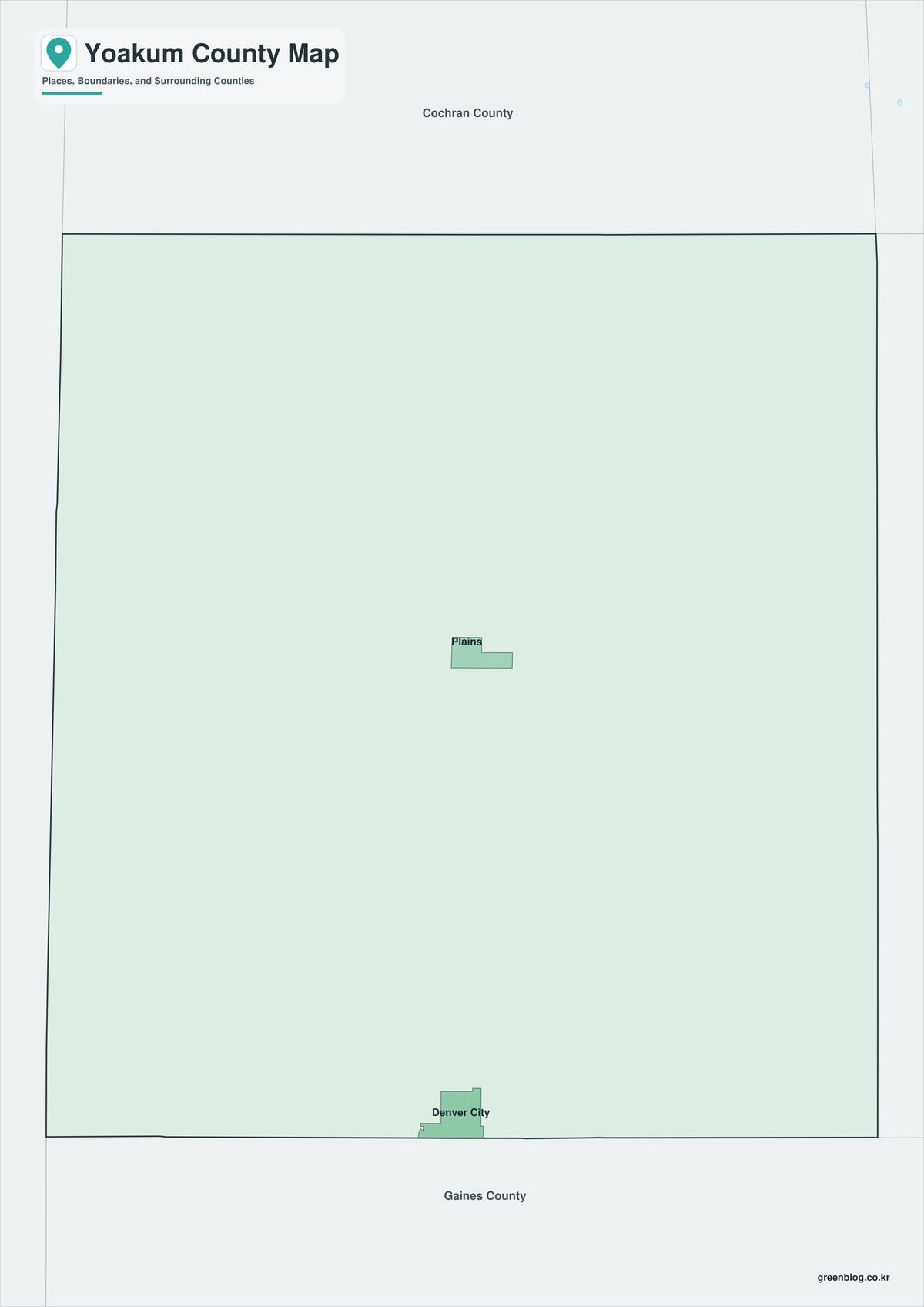
Color Map
The color version separates Yoakum County from neighboring counties and helps show Plains, Denver City, farms, oil fields, dry drainage features, and arid plains.
Black-and-White Map
The black-and-white map retains the county outline and selected place names for grayscale printing.
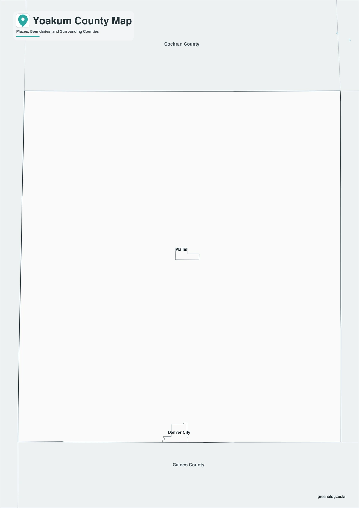
Outline Map
The outline version contains boundary lines without labels or fills, allowing custom notes and place names.

Download the Yoakum County Maps
The Yoakum County Texas map download contains three A3 JPG versions. Current official records should be used for oilfield, pipeline, irrigation, traffic, legal-boundary, mineral-rights, and property decisions.
County Map File Information
This download includes color, black-and-white, and outline maps.
- Included Versions: Color, Black and White, Outline
- File Type: JPG
- Page Size: A3
Frequently Asked Questions
What is the county seat of Yoakum County?
Plains is the county seat.
Which cities are located in the county?
Plains and Denver City are the principal cities.
What are the county’s major industries?
Oil and gas production, oilfield services, cotton and peanut farming, and ranching are major industries.
References
U.S. Census Bureau QuickFacts supplied the 2025 population estimate and change rate.
Yoakum County’s official website supplied county-seat, community, agriculture, and oil-and-gas information.
Texas State Historical Association’s Yoakum County entry supplied background on regional geography and historical land use.
Related Maps
- Wood County Texas map|Quitman, Mineola, Winnsboro, and Lake Fork
- Wise County Texas map|Decatur, Bridgeport, and Lake Bridgeport
- Free Printable Texas Map Set for Education, Presentations and Editing
- Wilson County Texas map|Floresville, La Vernia, Poth, and Stockdale
- Williamson County Texas map|Georgetown, Round Rock, Cedar Park, and Leander
Green Map creates custom-edited map images using open geographic data sources such as geoBoundaries, Natural Earth, OpenStreetMap, and government open data.
These maps are edited visual materials, not raw data files, and are provided for education, documents, presentations, and graphic reference.