The St. Johns County Florida map covers a fast-growing northeast Atlantic Coast county with St. Augustine, St. Augustine Beach, Ponte Vedra, Nocatee, Fruit Cove, Hastings, barrier islands, rivers, estuaries, and beaches.
The U.S. Census Bureau estimated 346,328 residents on July 1, 2025. St. Augustine is the county seat, and official county information identifies St. Augustine and St. Augustine Beach as the two incorporated cities.
Table of Contents
Map Coverage and Three A3 Versions
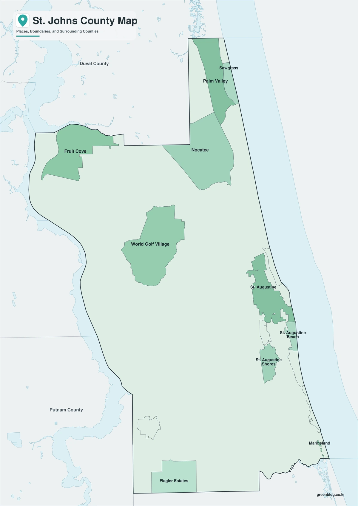
The download includes color, black-and-white, and outline maps. The labeled versions locate selected cities, communities, beaches, islands, rivers, and conservation lands.
This St. Johns County Florida map focuses on the county boundary and its relationship to Duval, Clay, Putnam, and Flagler counties. It is not a nautical chart, flood map, evacuation map, detailed municipal-boundary map, or parcel survey.
| Item | Verified Detail |
|---|---|
| Location | Northeast Florida Atlantic Coast |
| County Seat | St. Augustine |
| 2025 Population Estimate | 346,328 |
| Incorporated Cities | St. Augustine and St. Augustine Beach |
| Major Communities | Ponte Vedra, Nocatee, Fruit Cove, Hastings, and Vilano Beach |
| Natural Features | Atlantic Ocean, Matanzas River, Tolomato River, Guana River, and Anastasia Island |
| Regional Character | Historic tourism, beaches and golf, suburban growth, education, conservation, and water recreation |
St. Augustine and County Government
St. Augustine is the county seat and contains the courthouse, principal county offices, a historic downtown, museums, higher education, commerce, and waterfront facilities.
Castillo de San Marcos, the Bridge of Lions, and Matanzas Bay form a major historic and visitor district. Current parking and traffic information should be checked before travel.
St. Augustine Beach and Anastasia Island
St. Augustine Beach is an incorporated city on Anastasia Island, with Atlantic beaches, a pier, lodging, and visitor facilities. Anastasia State Park occupies part of the island’s northern section.
Beach access, parking, tides, and post-storm conditions require current official information.
Ponte Vedra and Northern Growth
Ponte Vedra and Ponte Vedra Beach form a northeastern coastal and golf community. Nocatee and Fruit Cove are large residential growth areas connected to the Jacksonville commuting region.
Development boundaries and roads change, so current county GIS information is important for address and jurisdiction questions.
Hastings and Western Agricultural Land
Hastings is an agricultural community in southwestern St. Johns County, surrounded by potato and vegetable farms, rural housing, and routes toward Putnam County.
Farm and private-property boundaries require current official records.
Guana River and Coastal Conservation
The Guana Tolomato Matanzas National Estuarine Research Reserve protects marshes, estuaries, beaches, and coastal habitat in northeastern St. Johns County and along the Intracoastal Waterway.
Access, paddling, fishing, and trail conditions can change, so current agency maps are required.
Color Map
The color version separates St. Johns County from neighboring counties and helps show St. Augustine, coastal communities, rivers, islands, and conservation areas.
Black-and-White Map
The black-and-white map retains the county outline and selected place names for grayscale printing.
Outline Map
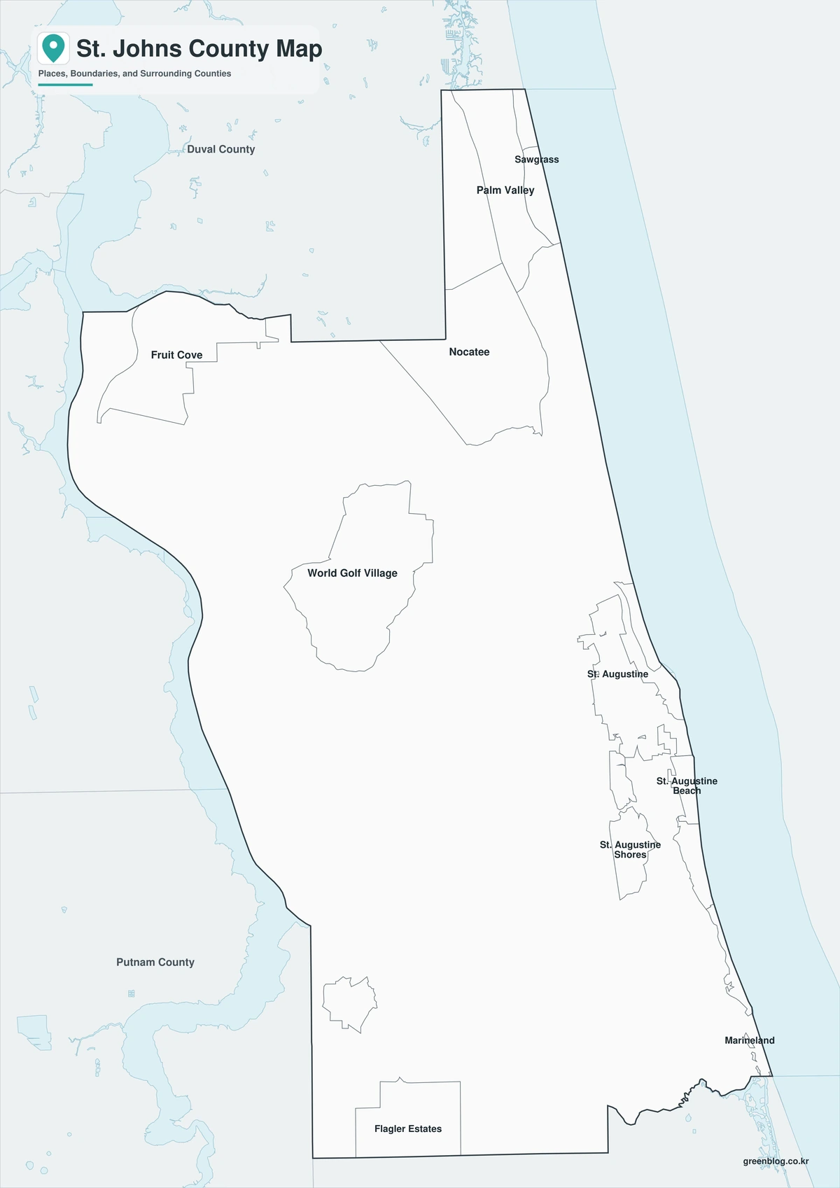
The outline version contains boundary lines without labels or fills, allowing custom notes and place names.
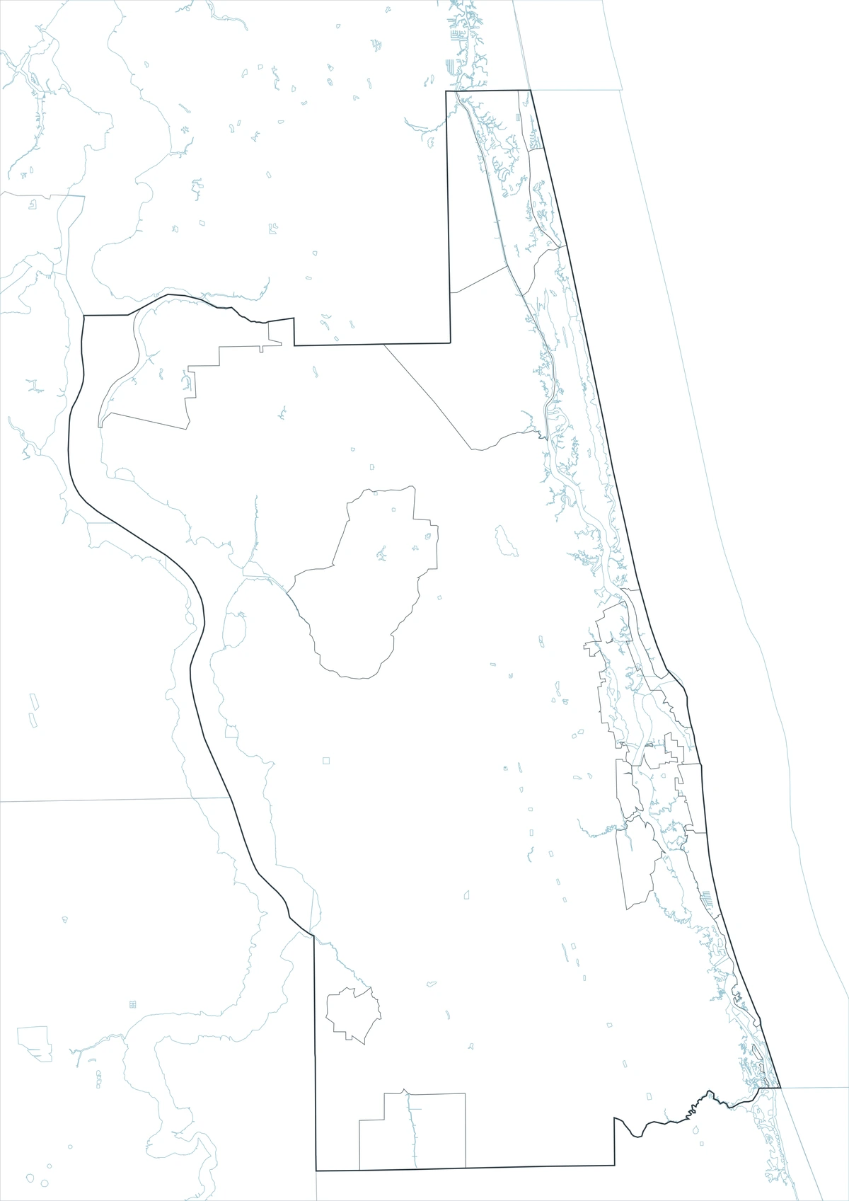
Download the St. Johns County Maps
The St. Johns County Florida map download contains three A3 JPG versions. Current official records should be used for legal, navigation, flood, emergency, evacuation, municipal-boundary, and property decisions.
County Map File Information
This download includes color, black-and-white, and outline maps.
- Included Versions: Color, Black and White, Outline
- File Type: JPG
- Page Size: A3
Frequently Asked Questions
What is the county seat of St. Johns County?
St. Augustine is the county seat.
Which cities are incorporated?
St. Augustine and St. Augustine Beach are the two incorporated cities.
Which natural features are best known?
The Atlantic coast, Matanzas River, Tolomato River, Guana River, and Anastasia Island are major features.
References
U.S. Census Bureau QuickFacts supplied the 2025 population estimate.
St. Johns County’s official government page supplied the two-city and unincorporated-community information.
Guana Tolomato Matanzas National Estuarine Research Reserve supplied information about coastal and estuarine conservation.
Related Maps
- Palm Beach County Florida map|West Palm Beach, Boca Raton, and Lake Okeechobee
- Hardee County Florida map|Wauchula, Bowling Green, and the Peace River
- Charlotte County Florida map|Punta Gorda, Port Charlotte, and the Harbor
- Sarasota County Florida map|Sarasota, Venice, North Port, and the Myakka River
- Flagler County Florida map|Palm Coast, Bunnell, and Atlantic Beaches
Green Map creates custom-edited map images using open geographic data sources such as geoBoundaries, Natural Earth, OpenStreetMap, and government open data.
These maps are edited visual materials, not raw data files, and are provided for education, documents, presentations, and graphic reference.