A Korean version of this map page is available. View Korean Page
A Zambia map download is useful when you need a clear visual reference for southern Africa, inland country layouts, neighboring country relationships, or province-based educational materials. Zambia is a landlocked country in Africa, bordered by the Democratic Republic of the Congo and Tanzania to the north, Malawi to the east, Mozambique and Zimbabwe to the south, and Angola to the west. Because it does not face the sea, its position is often easier to understand through a map that shows surrounding countries and internal regional divisions together.
This printable Zambia map collection includes color, black and white, and outline versions prepared for classroom handouts, presentation slides, blog graphics, infographic projects, and basic editing work. The map files are arranged around Zambia’s 10 provinces, making them practical for users who need a clean province-level reference rather than a complex political or statistical chart. The layout is designed for A3 high-resolution use, so it can be inserted into larger documents or printed as a visual study resource.
Zambia’s geography makes a map especially helpful. The country covers a large inland area of about 752,610 square kilometers, and its administrative structure is organized into 10 provinces. Lusaka, the capital, is an important reference point, but the country’s regional layout cannot be fully understood by city names alone. A province map helps readers see how the country connects with nearby African regions, how the internal divisions are arranged, and where a custom route, resource marker, or study label could be added.
During the map preparation process, the layout was kept simple so that neighboring country names would not overwhelm the main Zambia map. The color version was adjusted for quick province recognition, the black and white version was prepared for clearer document printing, and the outline version was cleaned for editing and annotation work. The goal is to provide a practical map resource that can be used in both educational and design settings.
Table of Contents
Zambia Map Download Overview
This Zambia map download provides three different map styles for different kinds of work. The color map is best for quick visual separation of provinces, the black and white map is better for printed documents, and the outline map is useful when users want to add their own labels, colors, markers, or data.
Because Zambia is surrounded by several countries, a map is more useful than a simple location description. It helps users understand Zambia’s place within southern and central Africa while also showing the country’s internal province structure. Teachers, students, bloggers, and presentation creators can use the files as a visual reference for geography, regional comparison, travel explanation, or educational content.
Included Map Versions
The map collection is organized into three practical versions:
- Color Zambia map
- Black and white Zambia map
- Blank outline Zambia map
Each version supports a different purpose. The color map works well for visual explanation, the black and white map is suited for clean printing, and the outline map gives users a flexible base for editing or custom educational materials.
Color Zambia Province Map
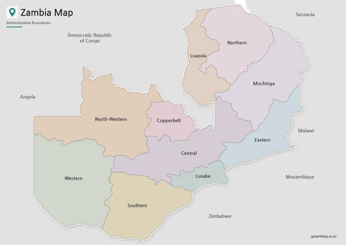
The color version is designed to make Zambia’s 10 provinces easier to distinguish. Since the country is surrounded by multiple neighboring states, color separation helps readers focus on Zambia’s internal layout without losing the broader regional context. Province boundaries are arranged clearly, and surrounding country names are included in a simplified way so the map does not become visually crowded.
This style works well for blog articles, classroom slides, educational handouts, and regional comparison graphics. When explaining Zambia’s position between countries such as the Democratic Republic of the Congo, Tanzania, Malawi, Mozambique, Zimbabwe, and Angola, a color-coded province map gives readers a faster way to understand the country’s location and structure.
Black and White Zambia Map for Printing
For printed materials, the black and white version provides a cleaner and more document-friendly layout. Removing color makes the province names and boundary lines easier to read in worksheets, reports, handouts, and presentation notes. This is especially useful when the map needs to be copied, printed in grayscale, or placed inside a text-heavy document.
The Zambia map has a broad inland shape with several surrounding borders, so line balance matters. If the boundary lines are too heavy, the map can feel dense. If they are too light, province divisions may not print clearly. The basic version was prepared with readability in mind so users can use it as a simple province reference without relying on color.
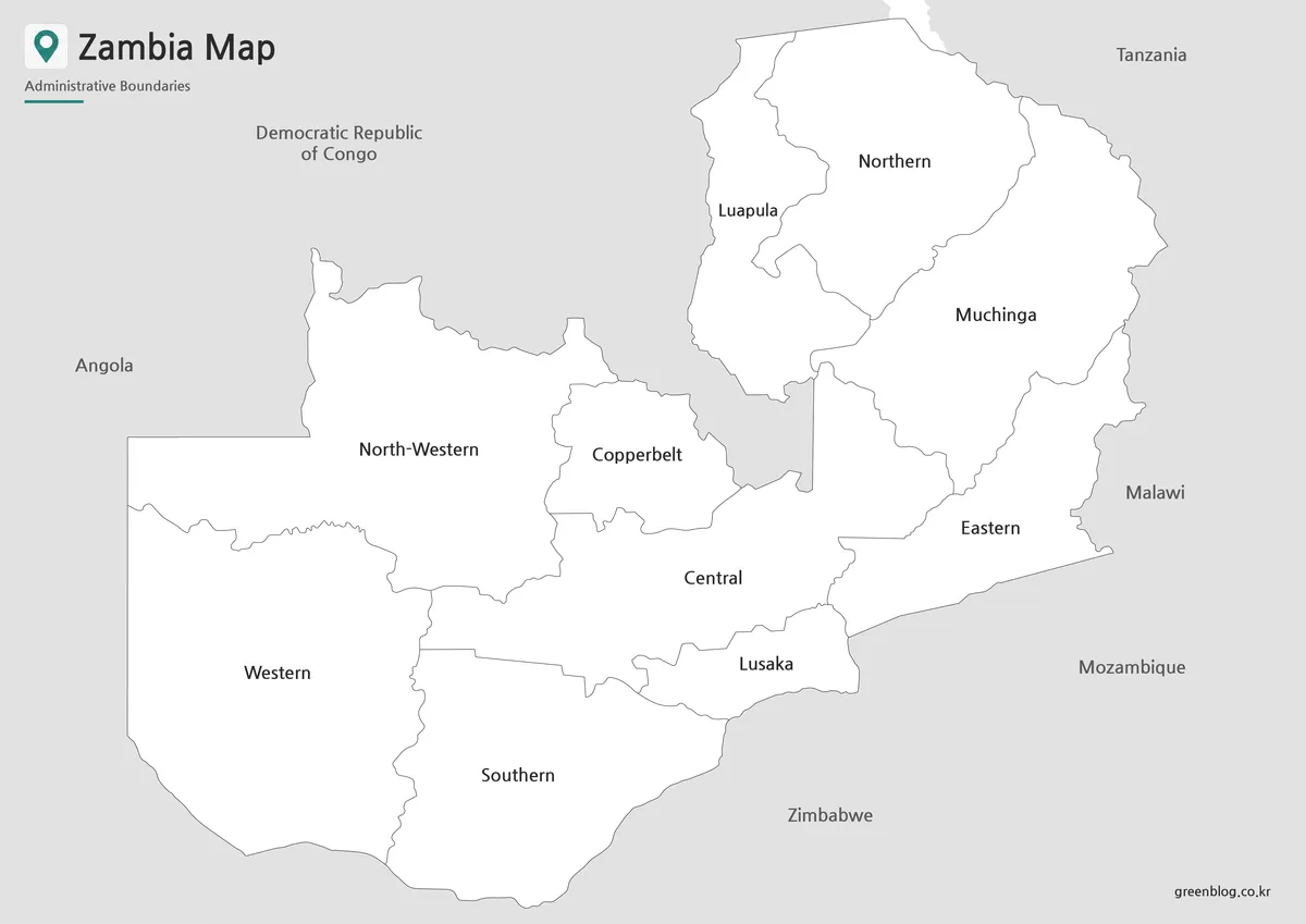
Blank Zambia Outline Map for Editing
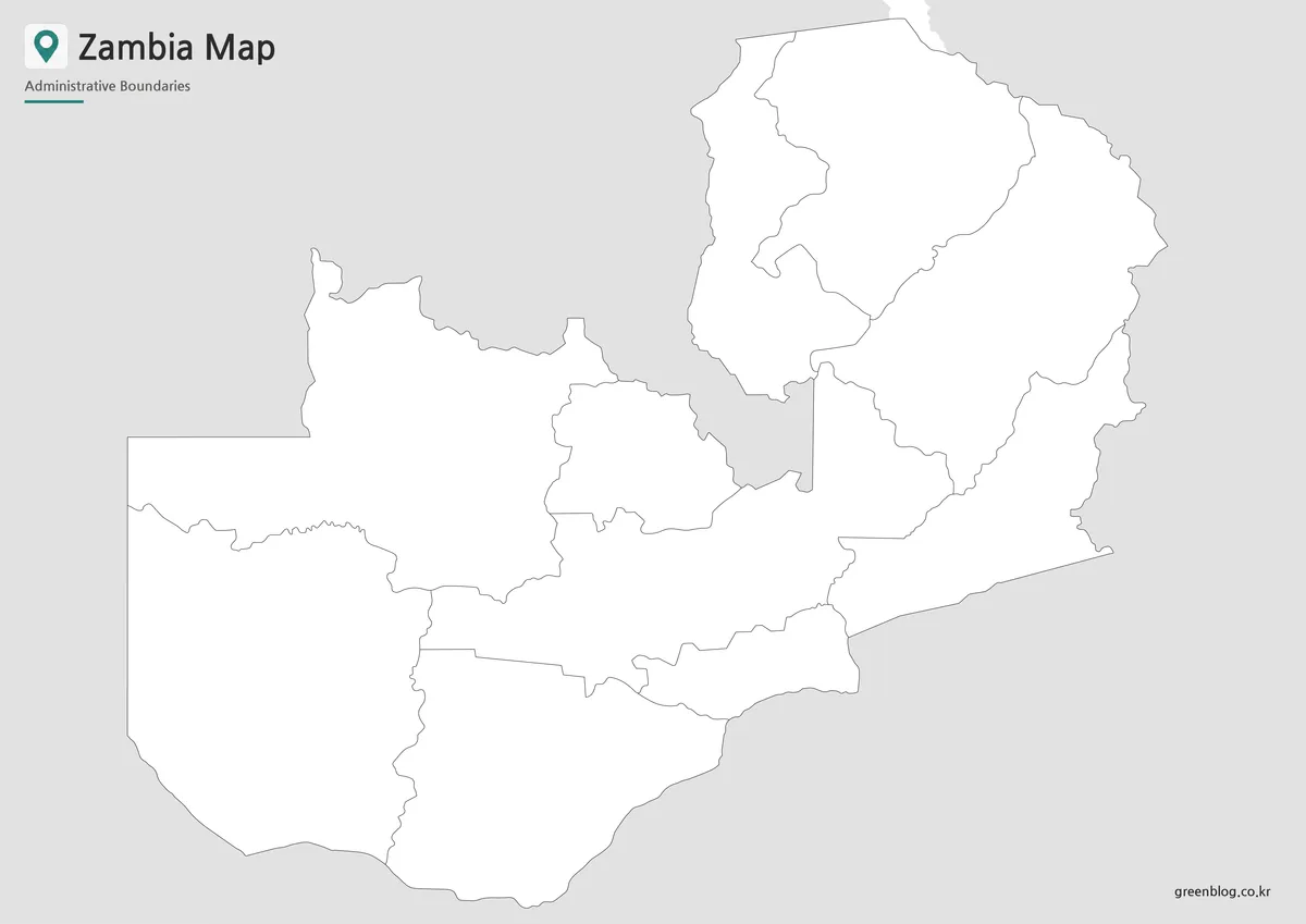
The outline version removes colors and text, leaving a clean boundary-based layout. This makes it useful for graphic editing, worksheet creation, classroom coloring activities, data marking, and infographic design. Users can add province names, resource locations, travel routes, population notes, or custom project labels depending on the purpose of the material.
For Zambia, the blank outline format is especially practical when creating maps about minerals, regional resources, neighboring country relationships, or educational geography exercises. Instead of starting from a fully labeled map, users can build their own visual explanation on top of a clean base.
Why a Zambia Map Is Useful
Zambia’s location is best understood through surrounding country relationships. As a landlocked country, it connects with several parts of southern and central Africa rather than a coastline. A labeled map helps explain these connections more clearly, especially when comparing Zambia with Mozambique, Angola, Zimbabwe, Malawi, Tanzania, or the Democratic Republic of the Congo.
The province-level structure also makes the map useful for education and presentation work. Zambia is divided into 10 provinces, which gives users a simple administrative framework for explaining regions without going into smaller and more detailed local divisions. This makes the map easy to use in classroom resources, blog posts, infographics, and general reference materials.
Practical Uses for the Zambia Map Collection
The map files can be used in many types of projects. Teachers can use the black and white map for geography worksheets, while students can use the color version in reports or presentation slides. Bloggers and content creators may use the map as a visual reference when writing about African countries, regional comparisons, or landlocked geography.
The outline map is useful when users want to add custom information. Possible uses include marking resource regions, highlighting neighboring countries, creating province comparison graphics, adding route lines, preparing study sheets, or building simple infographic layouts. Because the map is not overloaded with details, it can be adapted to many different content styles.
Basic Zambia Information for Map Users
Zambia is located in Africa and is surrounded by several countries. Its capital is Lusaka, and the country is divided into 10 provinces. The country’s large inland area and multi-border location make it a strong subject for regional map explanation.
Key reference points:
- Location: Southern and central Africa region
- Capital: Lusaka
- Area: About 752,610 square kilometers
- Population: About 18 million
- Administrative structure: 10 provinces
- Neighboring countries: Democratic Republic of the Congo, Tanzania, Malawi, Mozambique, Zimbabwe, Angola
- Map value: Landlocked position, province layout, and multi-country border context
Frequently Asked Questions
What is included in this Zambia map download?
The Zambia map download includes color, black and white, and outline versions. Each one is designed for a different use, such as visual explanation, printing, or editing.
Can I use the Zambia map for classroom materials?
Yes. The map works well for geography worksheets, classroom handouts, student reports, and presentation slides.
Which version is best for printing?
The black and white version is usually the best choice for printing because it keeps labels and province boundaries clean without relying on color.
Is the outline map useful for editing?
Yes. The blank outline map can be used to add province labels, resource markers, travel routes, classroom notes, or infographic annotations.
Does the map show neighboring countries?
Yes. The map is designed to help users understand Zambia’s position among surrounding African countries while keeping the layout simple.
Map File Information
This download includes printable Zambia map versions for educational use, presentation design, document printing, and editable graphic projects.
- Included Versions: Color map, black and white map, outline map
- Printable Size: A3 layout
- File Type: Image files
- Intended Use: Classroom handouts, presentations, blog graphics, infographic editing, and printable reference materials
Related Maps
- Uganda Map Collection – Color, Black and White, Outline
- Tanzania Map with Regional Boundaries – High Resolution A3 Layout
- Sudan Map Files – Printable Reference and Blank Outline Versions
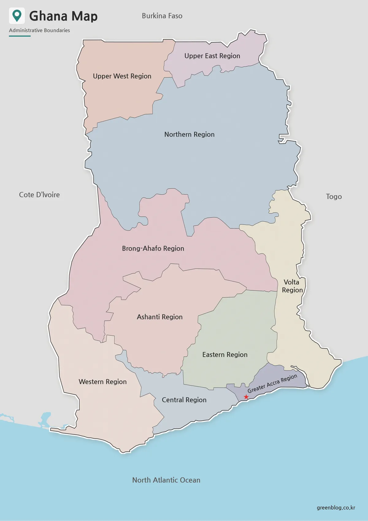
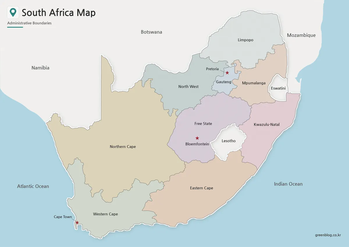
- South Africa Map Download – Printable Administrative Maps
Additional Resources
- Zambia Tourism – Zambia Map : This page provides a simple regional overview of Zambia, including its provinces and travel-related areas. It can be helpful when using the map for tourism, presentation, or regional reference content.
Green Map creates custom-edited map images using open geographic data sources such as geoBoundaries, Natural Earth, OpenStreetMap, and government open data.
These maps are edited visual materials, not raw data files, and are provided for education, documents, presentations, and graphic reference.