Finding a clear Paraguay map is not always easy, especially when you need a printable Paraguay map for education, presentations, or graphic design projects. To make things simpler, this Paraguay map collection was created in high resolution and organized into multiple formats suitable for different purposes.
Located in the heart of South America, Paraguay shares borders with Brazil, Argentina, and Bolivia. Its landlocked position and relatively simple national shape make it easier to understand regional boundaries compared with many other countries in the region. A well-designed map can help students, educators, content creators, and researchers quickly understand the country’s geographic structure.
This printable Paraguay map collection includes a color administrative map, a clean black and white version, and an editable outline map. All files were prepared in high resolution for both digital viewing and large-format printing. Whether you are creating educational worksheets, presentation slides, blog graphics, or infographic materials, each version offers a different way to visualize Paraguay.
During the design process, extra attention was given to administrative boundaries, label readability, and printing quality. Color saturation was intentionally reduced to keep place names easy to read, while major geographic features such as the Paraná River remain visible without overwhelming the overall layout. The result is a practical visual reference designed for both educational and creative use.
Table of Contents
Paraguay Map Overview
Country Information
- Official Name: Republic of Paraguay
- Capital City: Asunción
- Location: Central South America
- Area: Approximately 406,752 km²
- Population: About 7.5 million
Map Specifications
- Image Size: 4954 × 3504 pixels
- Color Mode: CMYK
- File Format: JPG
- Created With: Adobe Illustrator and Adobe Photoshop
The collection focuses on administrative divisions and overall geographic structure while maintaining a clean layout suitable for printing and presentations.
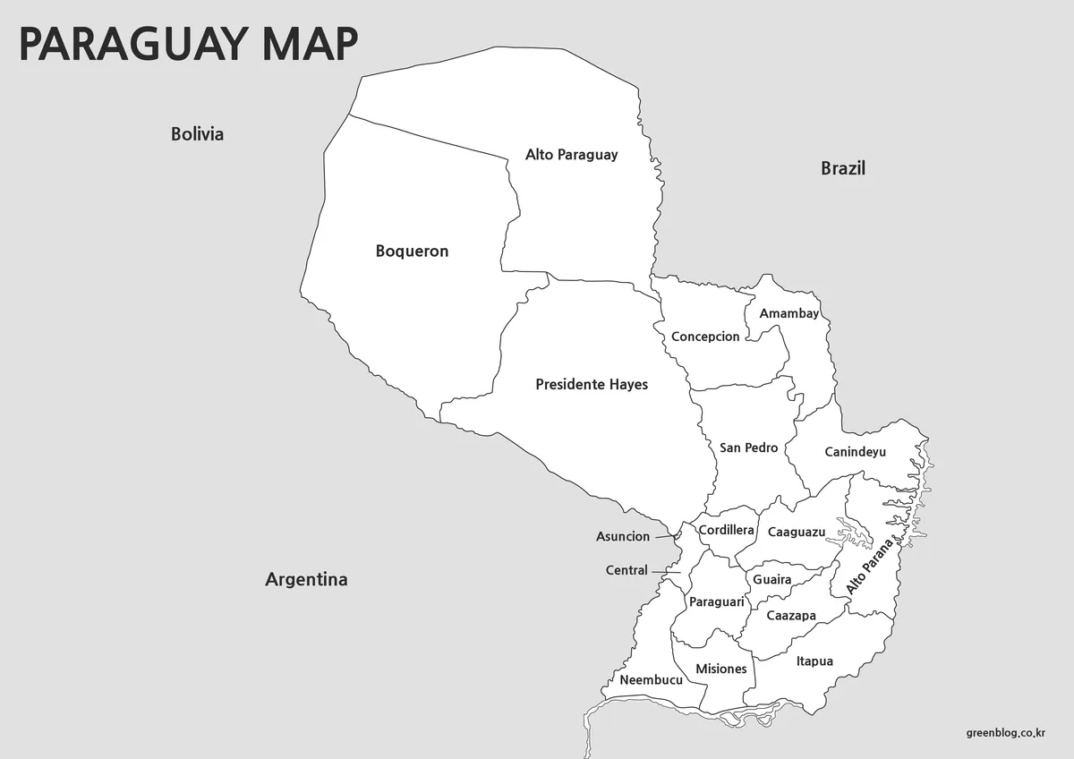
Regional Color Map
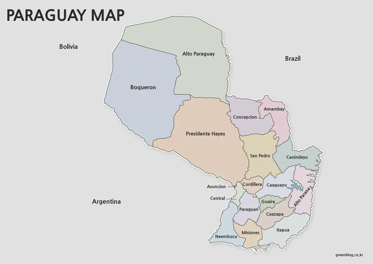
The color version separates Paraguay’s administrative regions using carefully selected colors that improve visual distinction while preserving label readability.
Administrative names are displayed in both Korean and English, making it easier to compare locations across different reference materials. Regional boundaries were organized using publicly available administrative data to create a clear and easy-to-follow layout.
One notable feature is the Paraná River, which remains visible through color contrast rather than heavy outline styling. This approach keeps the river easy to identify without distracting from regional boundaries.
Neighboring countries including Brazil, Argentina, and Bolivia are shown in a simplified format so that the focus remains on Paraguay itself. Asunción is distinguished through regional coloring rather than additional symbols, creating a cleaner visual appearance.
Best suited for:
- Geography lessons
- Educational posters
- Presentation slides
- Regional comparison projects
- Country profile graphics
Black and White Printable Map
Not every project requires color printing. For worksheets, study materials, and classroom handouts, a black and white version often provides better readability while reducing printing costs.
This edition removes color while preserving administrative boundaries and labels. The white background leaves plenty of room for notes, annotations, and custom markings.
Readability was reviewed at larger print sizes to ensure that place names remain clear when printed on A3 paper.
Useful for:
- Classroom activities
- Geography assignments
- Educational worksheets
- Printable study guides
- Research notes
Blank Outline Map
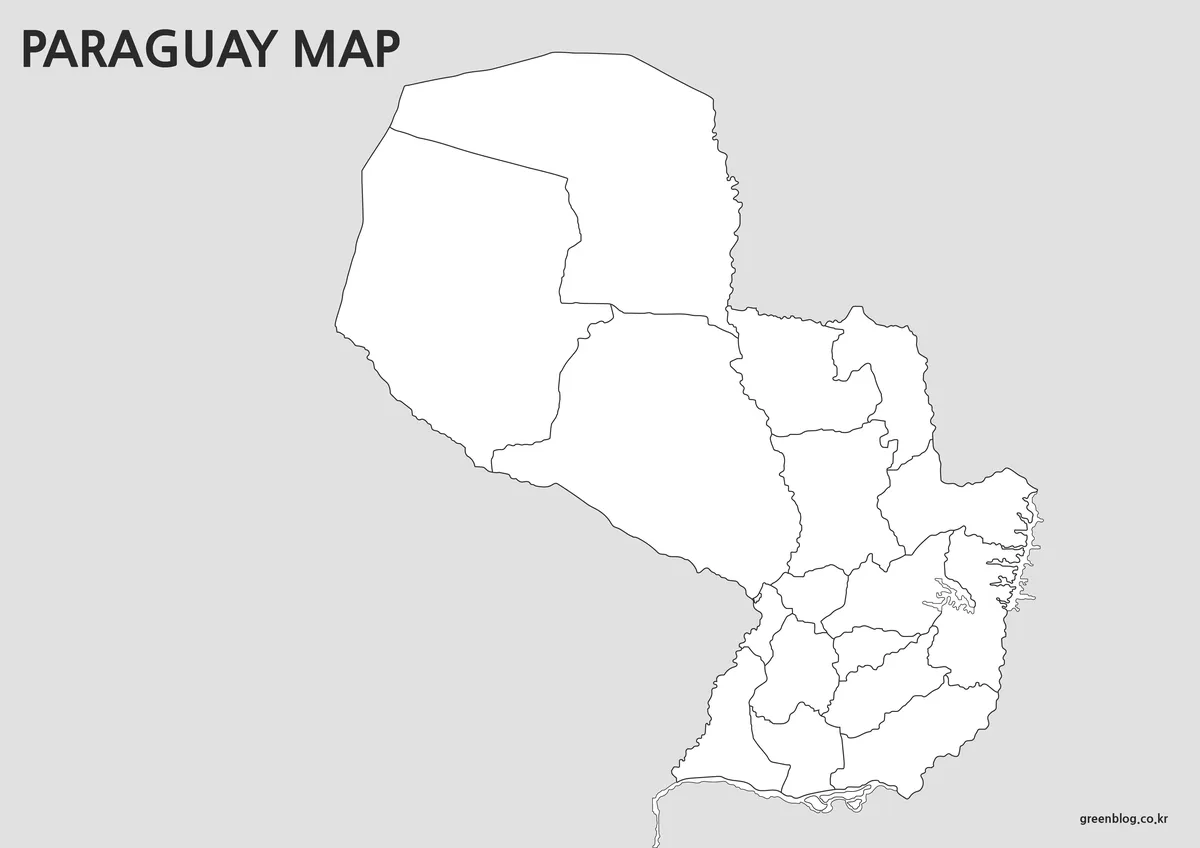
The outline version removes most visual elements except the essential boundary structure. Administrative borders remain intact, creating a flexible foundation for editing and customization.
While preparing the outline map, special attention was given to keeping boundary lines continuous. This makes region selection easier when adding colors in Photoshop, Illustrator, or other graphic editing software.
The simplified structure also works well for data visualization projects. Statistical information, icons, charts, and custom labels can be added without competing with existing map colors.
Recommended for:
- Graphic design projects
- Infographic creation
- Educational materials
- Regional highlighting
- Custom presentation graphics
Designed for Educational and Creative Use
Paraguay’s geographic structure makes it particularly useful for regional comparison projects and South American geography studies. The combination of administrative regions and major river systems provides a strong visual reference for understanding the country’s layout.
These maps work well in:
- Classroom handouts
- Educational presentations
- Travel-related content
- Blog graphics
- Infographic projects
- Regional comparison studies
- Printable reference materials
Because the files were created in high resolution, labels remain readable when enlarged and boundaries stay sharp during printing.
National Flag
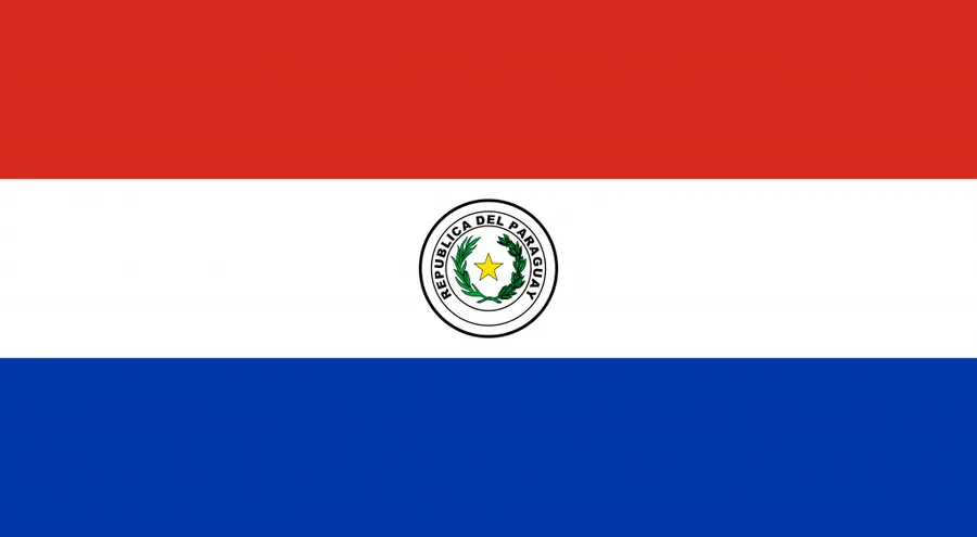
The Paraguay national flag is included as a complementary visual resource.
Combining the flag with the map can improve country identification in educational materials, presentation slides, and South America comparison projects. It also helps create a more complete visual reference when introducing Paraguay to students or readers.
Frequently Asked Questions
Why aren’t the colors more saturated?
Color intensity was intentionally reduced to improve label readability. The goal was to maintain regional distinction without making place names difficult to read.
Why are neighboring countries shown in a simplified format?
Adding detailed administrative divisions for surrounding countries would make the layout unnecessarily complex. The design keeps the focus on Paraguay’s regional structure.
What is the difference between the black and white map and the outline map?
The black and white version retains labels and regional information, while the outline version removes most elements and is intended for editing and customization.
Can I use the maps in content that contains advertisements?
Yes. The maps may be used in blog posts, videos, educational materials, and similar content. Redistribution or resale of the original files is not permitted.
Paraguay Map Download
The Paraguay map files are available through the link below. Choose the version you need, including the color map, black and white map, or outline map, and save it for your project.
- File Format: JPG / PNG / ZIP
- Usage: Printing · Education · Presentation · Editing
- Size: High-Resolution A3 Format
The files are provided in ZIP format. After downloading, extract the archive to access all map versions.
Additional Resources
For users who would like additional geographic information about Paraguay’s administrative divisions and national mapping resources, the following reference may be useful:
Related Maps
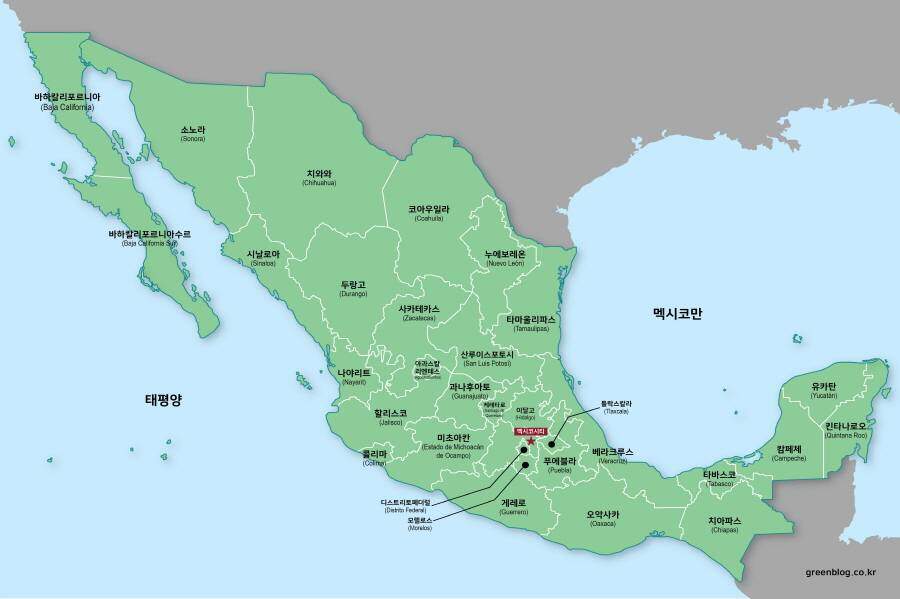
- Mexico Maps Download Collection (3 Files for Regional Reference)
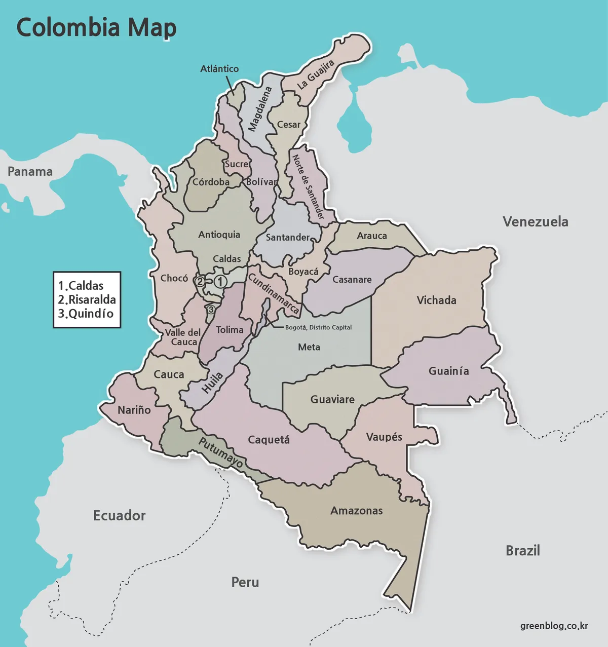
- Printable Colombia Map Set – Regional, Blank, and Black & White Versions
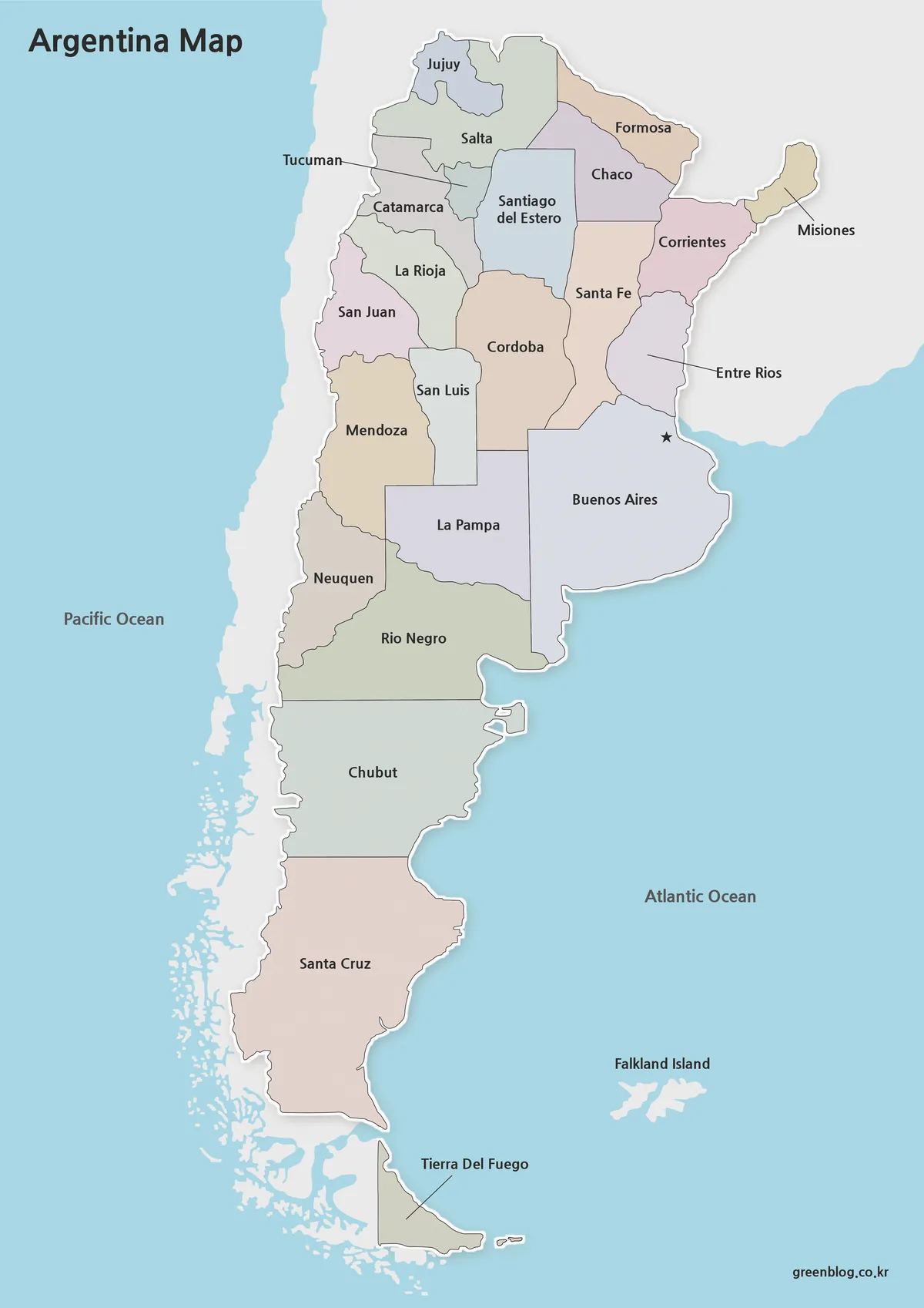
- Argentina Map Pack – Color, Blank and Printable A3 Maps