The Colonia Department map in this collection focuses on the department itself rather than its wider surroundings. It shows the outer boundary, 11 internal administrative areas, and the corresponding English or Spanish place names. Neighboring departments, Argentina across the water, separate coastline styling, rivers, and city markers are not included, which keeps the page centered on Colonia’s municipal structure.
Colonia is located in southwestern Uruguay and includes a mix of widely spaced urban and rural areas. Carmelo, Nueva Palmira, Rosario, Nueva Helvecia, Juan Lacaze, and other local centers are spread across a broad department, while several smaller administrative areas sit closer together in the east and southeast. Because of that uneven layout, a labeled regional map is more useful than a simple outline when comparing the size and position of each area.
The download collection includes a color map, a basic labeled map, and an outline map. The files are arranged in an A3 horizontal layout, and the source material confirms both image files and an SVG version. The set works well for classroom reference, blog graphics, presentation slides, regional comparisons, and simple annotation projects.
Table of Contents
Administrative Layout of the Colonia Department Map
The map follows an older public-data version containing 11 subdepartmental areas:
- Carmelo
- Juan Lacaze
- Nueva Helvecia
- Nueva Palmira
- Rosario
- Tarariras
- Colonia Valdense
- Florencio Sánchez
- Ombúes de Lavalle
- La Paz
- Colonia Miguelete
Colonia del Sacramento is the departmental capital, but it is not marked with a separate city symbol in this edition. Readers should therefore treat the map as an administrative-boundary resource rather than a city-location map. The visible content consists of the department outline, the 11 internal boundaries, and the area names.
The western side includes broad areas such as Carmelo and Nueva Palmira, while the central and southeastern sections contain a denser arrangement of divisions. That contrast is one of the main reasons the Colonia Department map benefits from both labeled and color-coded versions.
Color-Coded Municipal Areas
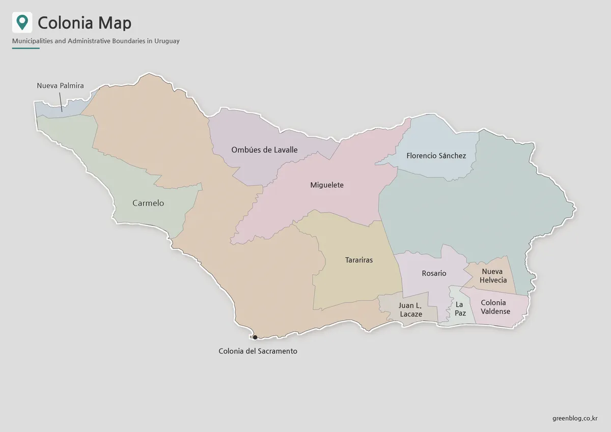
The color version separates the 11 areas with distinct fills, making it easier to compare large western sections with the smaller divisions clustered farther east. Instead of reading every line individually, users can quickly follow how the municipal areas connect across the department.
For a presentation about local distribution, a classroom worksheet on Uruguay’s departments, or a regional comparison chart, this Colonia Department map gives each area a clear visual identity. It is also useful when attaching statistics or short labels to individual regions without losing the overall structure.
Clean Labeled Map for Documents
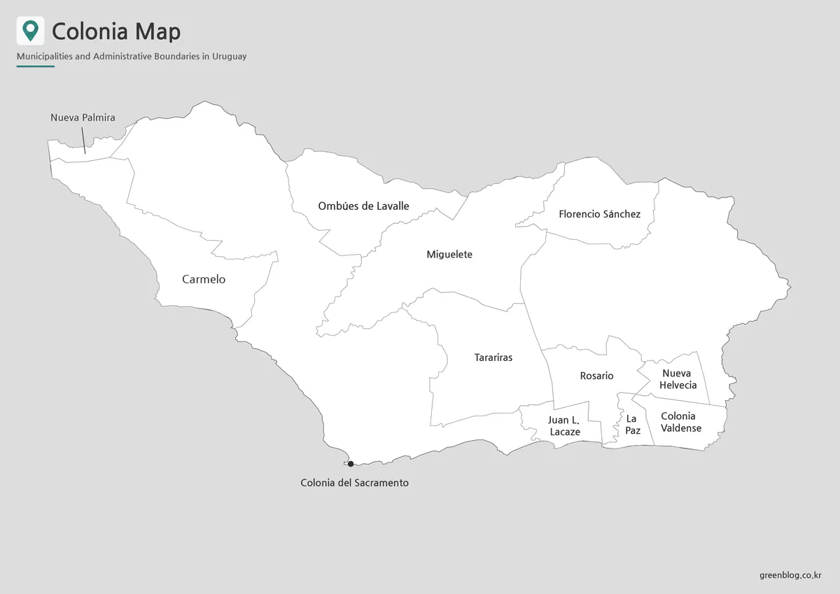
The basic version removes most color and keeps the outer boundary, internal divisions, and names prominent. This cleaner appearance works especially well in reports, printed reference sheets, and side-by-side comparisons with maps of other Uruguayan departments.
Because the labels are spread across areas of very different sizes, the simplified design helps the names remain easier to scan. The Colonia Department map can therefore be used as a straightforward reference page when the main goal is to identify boundaries and place names rather than compare colors.
Outline Map for Custom Projects
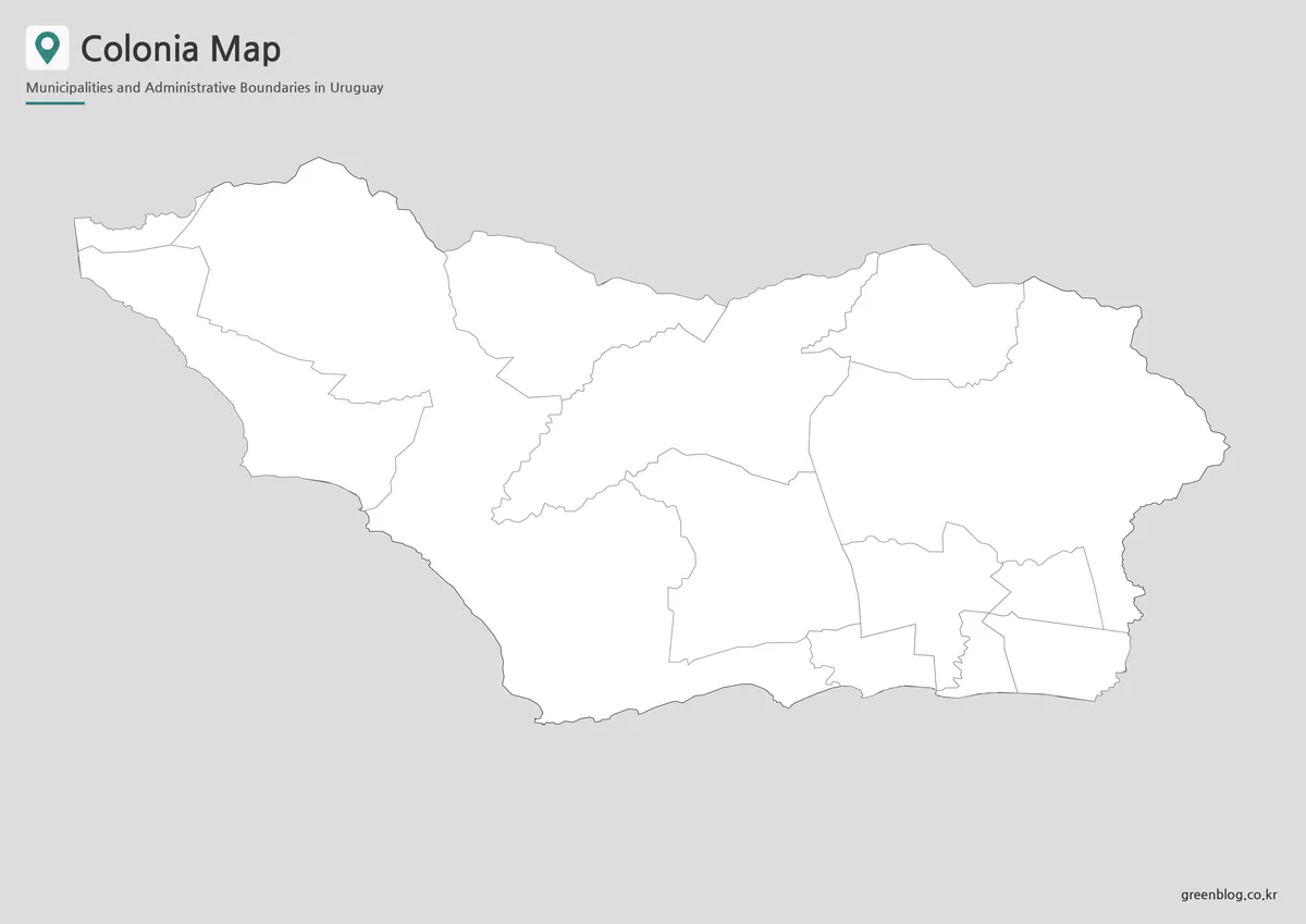
The outline edition leaves the department boundary and internal municipal lines as the main visual elements. It provides a flexible base for adding classroom colors, numbered regions, population notes, project labels, or presentation highlights.
The SVG file uses line-based boundaries rather than filled areas, providing a clean foundation for projects that need a simpler visual structure. Detailed software instructions are unnecessary here; the main benefit is that the outline file gives users a less cluttered base for custom map work.
For users building an infographic or regional worksheet, the Colonia Department map can function as a working base rather than a finished visual.
Practical Uses
Teachers can use the outline version for labeling exercises or regional coloring activities. Bloggers and presentation creators may prefer the color version for department introductions, while the basic map is a better fit for printed handouts and comparison pages.
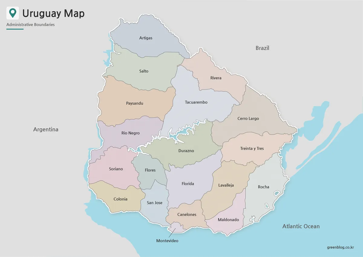
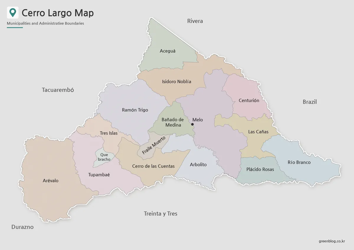
The same Colonia Department map collection also works for studying how Uruguay’s departmental subdivisions vary in size and density. When placed beside maps of Canelones, Cerro Largo, Artigas, or other departments, the Colonia layout is easy to compare because the overall visual structure remains consistent.
Frequently Asked Questions
Does the Colonia Department map show the coastline?
The outer shape is visible, but land and water boundaries are not styled as separate coastline layers.
Are neighboring departments or Argentina included?
No. The map only shows Colonia Department and its 11 internal administrative areas.
Is this the latest municipal boundary version?
No. It follows the older 11-area public dataset and does not include the later Conchillas and Cufré boundaries.
Which version should I choose?
Use the color map for visual comparison, the basic map for documents and printing, and the outline map for annotation or custom project work.
Map File Information
This download includes printable Colonia Department map versions for educational use, presentation design, document printing, regional comparison, and custom map projects.
- Included Versions: Color map, basic labeled map, outline map
- Printable Size: A3 horizontal layout
- File Type: Image files and SVG file
- Administrative Reference: Older public dataset with 11 municipal areas
- Intended Use: Classroom handouts, presentations, blog graphics, worksheets, and regional reference materials
Related Maps
For projects where the exact legal or current municipal boundary matters, treat this printable set as a visual reference rather than a substitute for Uruguay’s official spatial data. The national Infraestructura de Datos Espaciales (IDE) publishes official geographic information and administrative-boundary resources. Checking that source is especially important because the map set on this page follows the older 11-area dataset described above, while official municipal cartography can be updated independently of a static downloadable image.
Additional Resources
- IDE Uruguay – Administrative Boundaries : Official information on administrative boundaries and the national work used to maintain them.
Green Map creates custom-edited map images using open geographic data sources such as geoBoundaries, Natural Earth, OpenStreetMap, and government open data.
These maps are edited visual materials, not raw data files, and are provided for education, documents, presentations, and graphic reference.