The Cerro Largo Map is designed for readers who need a clear view of this northeastern department of Uruguay and its long border with Brazil. Cerro Largo lies between Rivera and Tacuarembó to the north and northwest, Durazno to the west, and Treinta y Tres to the south. Its eastern side follows the international boundary with Brazil, while the southeastern area is shaped by the Yaguarón River and the wider Laguna Merín system. Because the department combines a broad rural interior, several smaller municipalities, and a major international border, a simple location marker is not enough to explain how the area is organized.
This printable collection includes a color map, a black and white map, and an outline map in an A3 layout. The files are provided as image files for classroom handouts, presentation slides, blog graphics, document layouts, and infographic projects. The labeled versions help users identify municipalities and neighboring regions, while the outline version offers a clean base for adding routes, statistics, color coding, or project notes. The Cerro Largo Map also marks Melo, the departmental capital, with a point symbol so it remains visually separate from the surrounding municipal areas.
Cerro Largo covers about 13,648 square kilometers and had an estimated population of 90,708 in 2024. Melo sits near the center of the department, while Río Branco stands near the Brazilian border in the east. Aceguá is another important border settlement in the north. These widely separated population centers make a printable regional map especially helpful for comparison, travel explanations, and educational reference.
Table of Contents
Cerro Largo Map and the Regional Border Layout
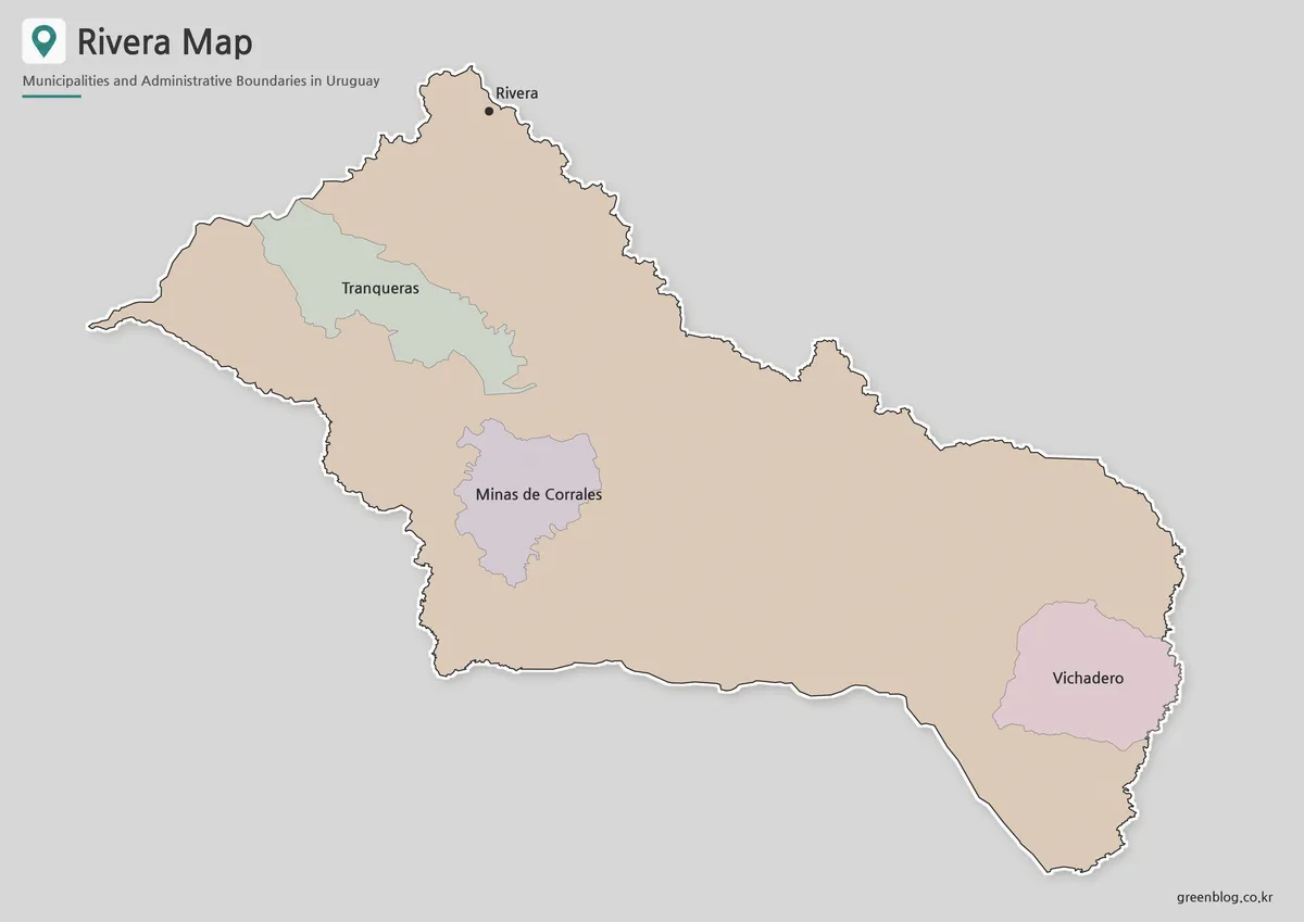
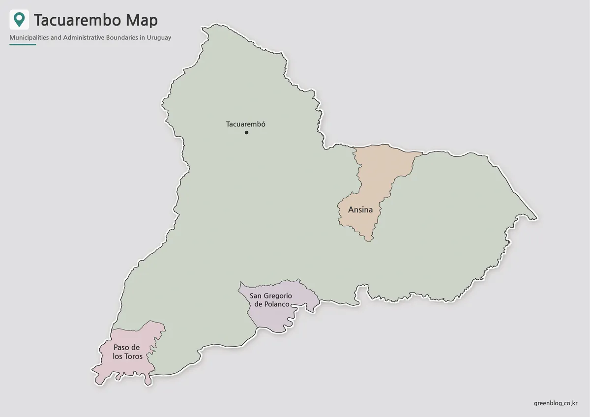
The department’s northern edge meets Rivera and Tacuarembó, while Durazno lies along the western and southwestern side. Treinta y Tres forms the southern boundary. To the east, Cerro Largo meets the Brazilian state of Rio Grande do Sul, creating one of the most distinctive features of the regional layout.
Near Río Branco, the Yaguarón River helps define the international border. Farther southeast, Laguna Merín influences the shape of the boundary and gives the lower-right edge a more irregular appearance. Cerro Largo does not directly face the Atlantic Ocean, even though its eastern position can make it appear close to the coast on a national map. The Cerro Largo Map makes this distinction clearer by presenting the department as an inland border region connected to rivers and lagoon systems rather than an open coastline.
Municipalities and Places Shown
The labeled map includes 15 municipal areas:
- Aceguá
- Arbolito
- Arévalo
- Bañado de Medina
- Centurión
- Cerro de las Cuentas
- Fraile Muerto
- Isidoro Noblía
- Las Cañas
- Plácido Rosas
- Quebracho
- Ramón Trigo
- Río Branco
- Tres Islas
- Tupambaé
Melo appears separately as the departmental capital. Its point symbol helps readers distinguish a city location from a municipal boundary. The western side is dominated by larger areas such as Arévalo, while the central and southern sections contain a tighter group of smaller divisions, including Quebracho, Fraile Muerto, Cerro de las Cuentas, and Arbolito.
The eastern municipalities, especially Centurión, Las Cañas, and Río Branco, provide useful reference points when explaining the relationship between Uruguay and Brazil. A labeled regional map therefore offers more detail than a plain department outline.
Color Map for Comparing Municipal Areas
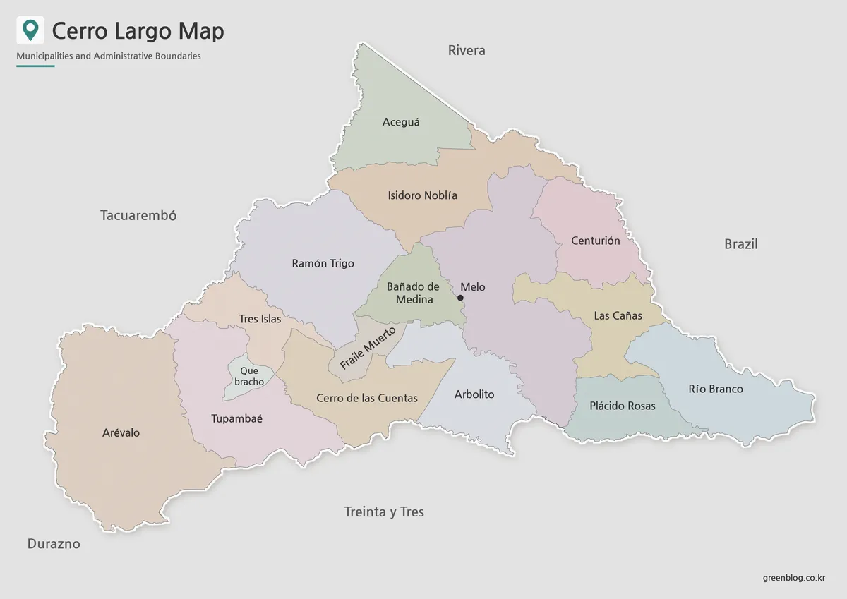
Color separation is especially helpful in Cerro Largo because the municipality sizes vary widely. Large western and northern areas can be compared with the narrower central divisions without losing track of the boundary lines. The Cerro Largo Map in color also makes it easier to follow the sequence of municipalities leading toward Brazil.
This version works well in geography presentations, regional reports, and classroom lessons where students need to identify multiple areas quickly. It can also support a visual comparison between the broad rural west and the more border-focused east.
Black and White Map for Printing
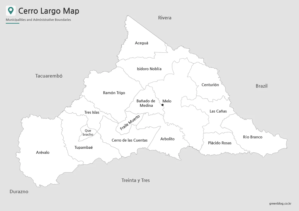
The cleaner black and white layout gives more attention to names, boundary lines, and the capital marker. On printed worksheets or reports, the reduced use of color keeps the page visually calm and leaves room for notes or highlighting.
The black and white version is a practical choice for assignments, reference sheets, and document inserts. It is particularly helpful where closely placed central labels need to remain readable without competing with background colors. The A3 layout also gives longer names such as Cerro de las Cuentas and Bañado de Medina more room on the printed page.
Outline Map for Annotation and Editing
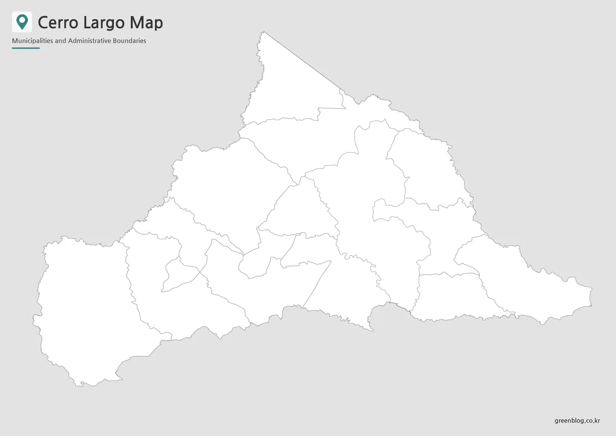
The outline version keeps the department shape and internal divisions while removing most visual detail. This gives teachers, students, bloggers, and designers a working base rather than a finished presentation graphic.
Users can add livestock areas, rice-growing zones, population figures, border routes, city markers, or travel paths between Melo and Río Branco. The Cerro Largo Map outline is also suitable for classroom coloring activities and infographic layouts that need custom symbols or a new color scheme.
Practical Ways to Use the Collection
Teachers can use the labeled versions as classroom reference sheets and the outline version as a worksheet. Presentation creators may prefer the color map when discussing the Brazilian border, the location of Melo, or the contrast between the broad western areas and the tighter central divisions.
For blog graphics and infographics, the outline map provides space for icons, arrows, and short labels. A regional report can use the black and white version where the map needs to sit beside text, tables, or charts without dominating the page.
Choosing the Right Version
Choose the color map when the main goal is to compare municipality sizes and locations quickly. Select the black and white version for printing, worksheets, reports, or documents where labels matter more than color. Use the outline map when the project requires custom data, route marking, manual coloring, or graphic editing.
Together, the three versions provide a flexible visual reference for a department that combines wide rural areas, compact central divisions, and an international border.
Frequently Asked Questions
Does Cerro Largo have an Atlantic coastline?
No. The department is close to eastern Uruguay’s coastal zone, but it does not directly meet the Atlantic Ocean. Its eastern boundary is mainly connected to Brazil, the Yaguarón River, and the Laguna Merín area.
Is Melo one of the municipalities on the map?
Melo is shown as the departmental capital rather than as one of the 15 labeled municipal areas. A point marker separates the city from the boundary labels.
Why is Lago Merín not listed among the 15 areas?
The supplied map follows the 15 regional boundaries shown in the source material. Laguna Merín is treated as a nearby water feature rather than one of the labeled internal areas.
Which Cerro Largo Map works best for printing?
The black and white version is the clearest choice for reports, worksheets, and ordinary printing. The color map is better when visual comparison matters, while the outline map is better for notes and custom markings.
Download Information
Map File Information
This download includes printable Cerro Largo map versions for educational use, presentation design, document printing, and editable graphic projects.
- Included Versions: Color map, black and white map, outline map
- Printable Size: A3 layout
- File Type: Image files
- Intended Use: Classroom handouts, presentations, blog graphics, infographic editing, and printable reference materials
Related Maps
Additional Resources
- Cerro Largo Department Government – Territorial Information : Regional information about Cerro Largo’s location, area, neighboring departments, and border with Brazil.
Green Map creates custom-edited map images using open geographic data sources such as geoBoundaries, Natural Earth, OpenStreetMap, and government open data.
These maps are edited visual materials, not raw data files, and are provided for education, documents, presentations, and graphic reference.