The Durazno Map highlights the department’s central position in Uruguay. Durazno is landlocked and bordered by six other departments, so a simple list of place names does not show how the region fits into the country. The map combines the outer boundary, the municipalities of Villa del Carmen and Sarandí del Yí, the departmental capital of Durazno, and the names of the surrounding departments.
The collection presents a color map, a clean labeled version, and an outline map in an A3 landscape layout, alongside raster and SVG formats. The set is suitable for classroom handouts, presentation slides, blog graphics, regional comparison pages, and custom annotations. Each style emphasizes a different part of the same geographic structure: visual separation, label-focused reference, or an unfilled reference map.
Durazno Department lies in the interior of Uruguay and has a population of about 62,000. The capital city is located in the southwest, while Villa del Carmen sits near the center and Sarandí del Yí occupies the southeastern part of the department. Much of the department remains outside these two municipal boundaries, which is an important detail when interpreting the map.
Table of Contents
Understanding the Durazno Map Layout
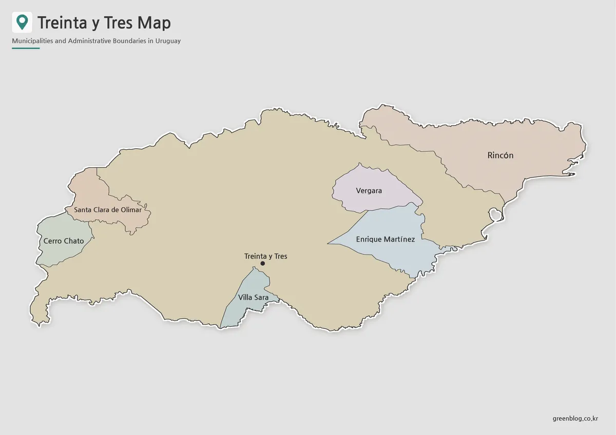
Durazno is bordered by Tacuarembó to the north, Cerro Largo to the northeast, Treinta y Tres to the east and southeast, Florida to the south, Flores to the southwest, and Río Negro to the west and northwest. These surrounding labels help place the department within Uruguay without turning the page into a full national map.
The department has an elongated east–west shape, with irregular boundaries in the north and west. Sarandí del Yí lies close to Treinta y Tres, Villa del Carmen is positioned farther inland, and the capital city of Durazno appears in the southwest. The Durazno Map therefore shows both administrative areas and a city marker, making it important to distinguish municipal polygons from the point used for the departmental capital.
Places and Administrative Areas Shown
The visible locations are:
| Type | Name |
|---|---|
| Departmental capital | Durazno |
| Municipality | Villa del Carmen |
| Municipality | Sarandí del Yí |
Villa del Carmen is also referred to as Ciudad del Carmen in some official and local contexts. The two named municipalities do not cover the entire department. The large remaining area is not a third municipality; it represents territory outside the two municipal jurisdictions shown in the source boundaries.
That distinction is especially useful for readers who might otherwise assume that every colored or outlined area represents an equivalent administrative unit. It is better understood as a departmental map with two municipalities placed inside a much larger non-municipal area.
Color Map for Comparing the Two Municipalities
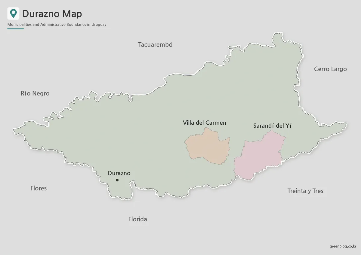
The color version separates Villa del Carmen and Sarandí del Yí from the rest of Durazno Department. This makes the contrast between the relatively small municipal areas and the much larger surrounding territory immediately visible.
Because the two municipalities are separated from one another, color helps readers follow their positions without relying only on boundary lines. In presentations about Uruguay’s local government structure, the map clearly separates the central and southeastern locations.
The Durazno Map makes it easier to compare the small municipal areas with the broad non-municipal territory that covers most of the department.
In classroom settings, the color edition clearly illustrates the difference between a departmental capital, a municipality, and territory outside municipal boundaries. The surrounding department names give context for Durazno’s inland setting without adding roads or unrelated geographic detail.
Clean Labeled Version for Documents
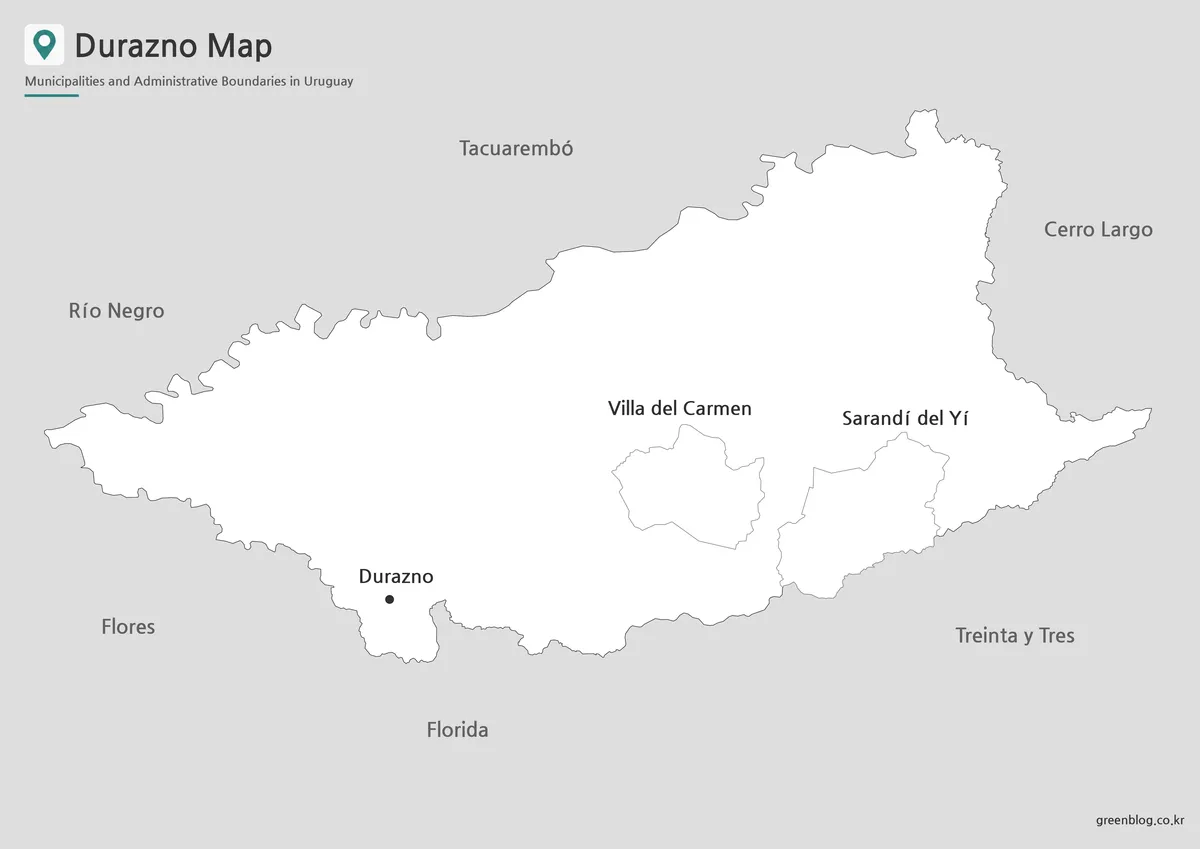
The basic version reduces the color emphasis and keeps the department outline, internal boundaries, labels, and capital marker at the center of the design. This creates a cleaner reference for reports, study sheets, and pages that compare several Uruguayan departments in the same visual style.
Villa del Carmen and Sarandí del Yí occupy relatively small portions of a large department, so a restrained design makes their names and borders easier to follow. When printed at A3 size or enlarged on a screen, the Durazno Map provides enough space to read the municipal labels and identify the capital city without visual clutter.
This edition is the most practical choice when the goal is to explain names and locations rather than assign different colors to each area. It also fits black-and-white document layouts more naturally than the full-color version.
Outline Map for Notes and Custom Marking
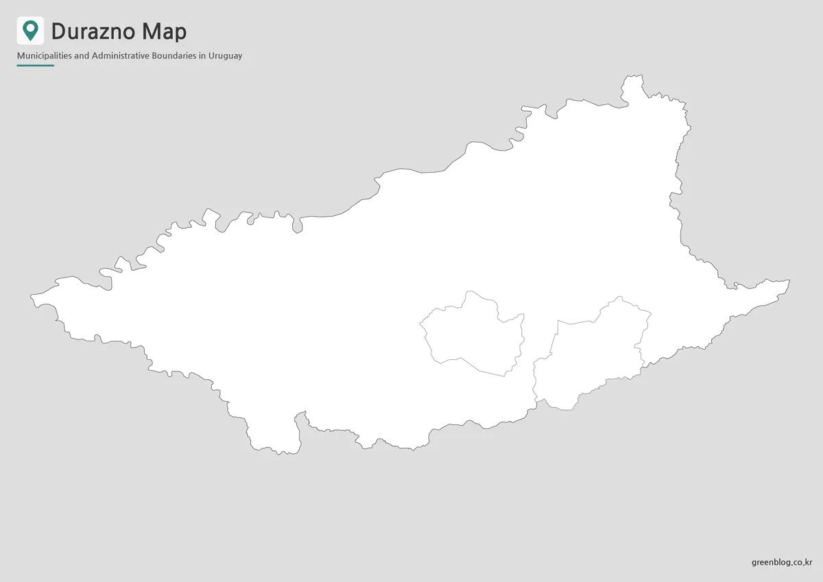
The outline version removes area fills and keeps the outer border, municipal boundaries, labels, and city marker. Its unfilled areas leave room for population figures, route arrows, numbered questions, regional highlights, or classroom coloring.
One classroom exercise hides the labels and asks learners to identify the capital and the two municipalities. For infographic work, the Durazno Map supports comparison data for the six neighboring departments and highlights the department’s east–west shape.
The SVG format supports larger layouts, boundary-line adjustments, and selective emphasis of mapped areas. This version keeps geographic detail minimal and leaves open space for annotations or added thematic information.
Practical Applications for the Map Collection
The color map emphasizes the department, the basic map emphasizes municipalities and neighboring regions, and the outline map provides a simpler reference layer. In a classroom, the three styles support different activities without changing the underlying geography.
Regional comparisons with Tacuarembó, Florida, Río Negro, or Cerro Largo reveal differences in boundary shape and municipal coverage.
Side-by-side views with Tacuarembó, Cerro Largo, Florida, or Río Negro make border shapes and municipal coverage easier to compare. The map also illustrates why the department is considered part of Uruguay’s central interior.
Highways, rivers, tourist attractions, and detailed settlement patterns are outside the map set’s scope. They function as administrative reference maps rather than road or travel maps.
Frequently Asked Questions
How many municipalities are shown?
The map shows two municipalities: Villa del Carmen and Sarandí del Yí. The departmental capital of Durazno appears separately as a city point.
What does the large uncolored area represent?
It is the part of Durazno Department located outside the two municipal boundaries. It represents territory outside the two municipal boundaries, not a third municipality.
Which Durazno Map version fits each task?
The color version suits regional comparison, the basic version suits labeled documents, and the outline version works for notes, coloring, or custom data.
Are roads or rivers shown on the Durazno Map?
No. The map focuses on administrative boundaries, municipal locations, the departmental capital, and neighboring departments.
Durazno Map Files
Color, black-and-white, and outline versions are available together in one ZIP archive.
Durazno maps (ZIP)Related Maps
Additional Resources
- Wikipedia – Durazno Department : This page provides an English-language overview of Durazno Department, including its location, capital, area, population, and major settlements.
Green Map creates custom-edited map images using open geographic data sources such as geoBoundaries, Natural Earth, OpenStreetMap, and government open data.
These maps are edited visual materials, not raw data files, and are provided for education, documents, presentations, and graphic reference.