A Flores Department Map is more useful when it shows more than the department outline. Flores lies in the south-central interior of Uruguay, surrounded by six other departments and separated from the country’s better-known coastal areas. Its capital, Trinidad, sits near the central part of the department, while the small municipality of Ismael Cortinas is located close to the southwestern boundary. Seeing these places together makes the regional structure much easier to understand than reading a list of names.
This printable map collection includes color, black and white, and outline versions prepared for A3 printing. The maps are intended for classroom assignments, presentation slides, regional comparison projects, blog graphics, document layouts, and infographic editing. Labels for Trinidad, Ismael Cortinas, and the neighboring departments help readers identify how Flores connects with the rest of inland Uruguay.
Flores covers approximately 5,144 square kilometers and has a largely rural landscape shaped by grasslands, farming, and livestock production. Settlements are widely spaced compared with dense urban regions, so a labeled Flores Department Map provides a clearer sense of distance and direction. The difference in scale between the full department and the 2.679-square-kilometer municipality of Ismael Cortinas is especially noticeable when both boundaries appear in the same layout.
Table of Contents
Regional Layout of Flores Department
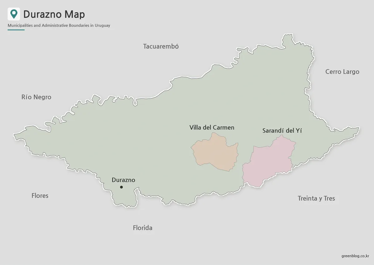
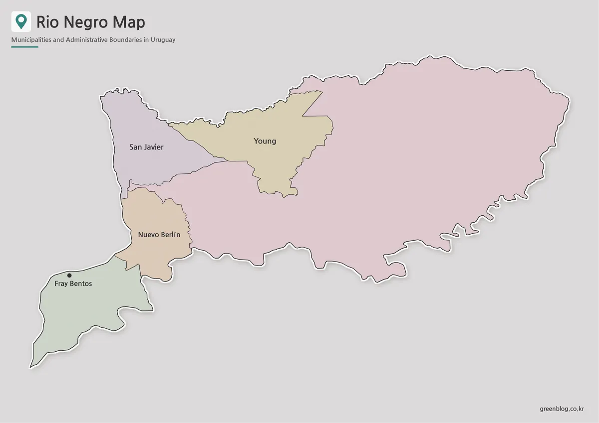
Flores is completely landlocked. Durazno lies to the north and northeast, while Río Negro reaches the northwestern side. Soriano borders Flores to the west, Colonia meets it in the southwest, San José lies along the south, and Florida forms much of the eastern and southeastern boundary.
This arrangement places Flores at a regional meeting point between several parts of central and southern Uruguay. It does not share an international border or coastline, so neighboring departments provide the main geographic reference points.
The surrounding areas can be organized by direction:
- North and northeast: Durazno
- Northwest: Río Negro
- West: Soriano
- Southwest: Colonia
- South: San José
- East and southeast: Florida
A Flores Department Map with these surrounding names is helpful for students comparing Uruguay’s 19 departments or for presenters explaining the position of Flores within the country.
Trinidad and Ismael Cortinas
Trinidad is the departmental capital and the main administrative and service center. Its position near the middle of Flores makes it a useful reference point for reading the map and understanding how the department is organized.
Ismael Cortinas is the only municipality in Flores Department. It lies near the southwestern edge, close to the boundaries with Soriano, Colonia, and San José. The municipality covers only about 2.679 square kilometers, making it extremely small compared with the department as a whole.
Because of this difference in scale, the municipal boundary may appear as a small shape on a full-page map. An enlarged inset or highlighted area makes the location easier to identify without distorting the main department outline.
On the Flores Department Map, this inset view helps preserve the true municipal scale while keeping the full departmental boundary visible.
Color Map for Regional Comparison
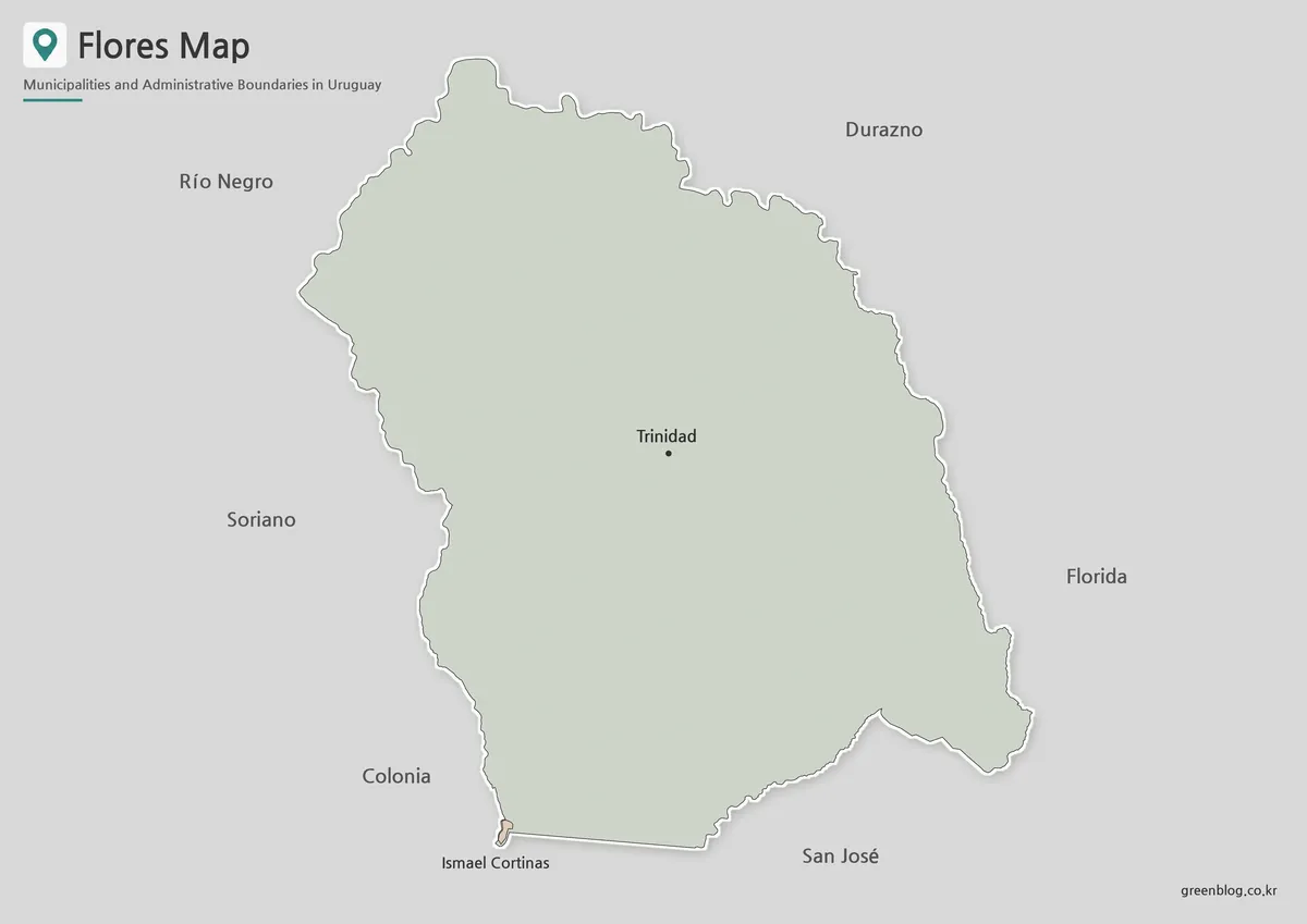
The color version separates the main Flores boundary from the small Ismael Cortinas municipality. This visual contrast helps readers compare the size of the municipality with the much larger rural department surrounding it.
Color is also useful when explaining the six neighboring departments. Durazno, Florida, San José, Colonia, Soriano, and Río Negro can be followed around the boundary without losing their directional relationship.
For classroom presentations, this Flores Department Map works well on slides because the capital marker and municipal area remain distinct from the outer border. It also suits blog posts and infographic layouts where users need to identify the department quickly.
Black and White Map for Printing
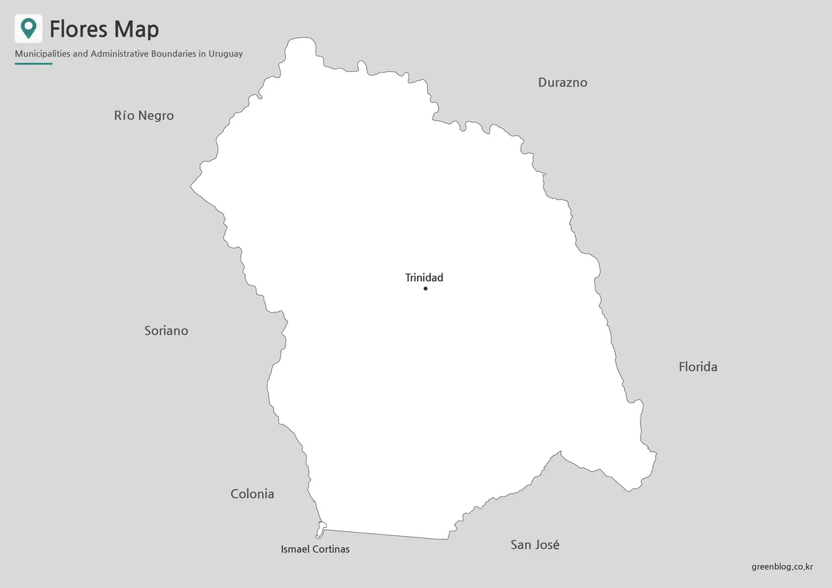
The black and white version emphasizes labels, border lines, and the position of Trinidad. Removing most color elements produces a cleaner reference sheet for reports, worksheets, and printed study materials.
Flores has a relatively simple outer shape, but the small Ismael Cortinas boundary requires careful attention. A simplified layout keeps that area visible while preserving enough space for the names of the surrounding departments.
The Flores Department Map keeps the department border, capital marker, and neighboring labels clear when the page is printed without color.
Printed at A3 size, the map provides room for notes beside the labels. Teachers may use it as a classroom reference, while students can include it in projects about Uruguay’s administrative geography.
The Flores Department Map remains easy to follow in grayscale because the capital marker, municipal boundary, and neighboring department names are separated by clear line work.
Outline Map for Editing and Annotation
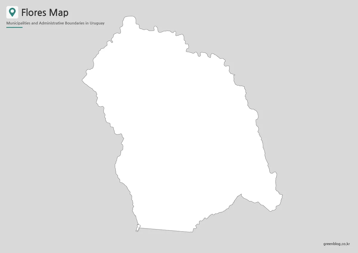
The outline version provides a working base for custom projects. Users can add colors, city symbols, tourism locations, population figures, transport routes, or arrows showing connections with neighboring departments.
For a regional study, Trinidad can be marked as the capital and Ismael Cortinas highlighted separately. The border can also be divided by direction to demonstrate how Flores connects with Durazno in the north, Florida in the east, and San José in the south.
For infographic projects, the Flores Department Map provides a clean base for marking rural areas, municipal boundaries, and travel points across central Uruguay.
Designers may use the outline as a background for infographics, while teachers can turn it into a coloring worksheet. The reduced visual detail leaves space for handwritten labels and project-specific information.
Why This Map Is Useful
Flores has few internal administrative divisions, but that does not mean its geography is obvious. The capital and municipality are separated, the population is widely distributed, and six departments meet its borders.
A labeled map helps students locate Flores among Uruguay’s other departments. It also gives presentation creators a compact visual for explaining inland settlement patterns, rural geography, and regional connections.
For travel-related content, the outline can be used to mark Trinidad, Grutas del Palacio, rural attractions, or routes leading toward neighboring departments. The same base can support blog graphics, educational handouts, and simple location diagrams.
For regional comparison projects, the Flores Department Map provides a consistent reference for studying Flores alongside Durazno, Florida, San José, Colonia, Soriano, and Río Negro.
Frequently Asked Questions
How many municipalities are shown on the Flores Department Map?
Flores has one municipality, Ismael Cortinas. Trinidad is the departmental capital but is not shown as a separate municipality.
Why does Ismael Cortinas look so small?
Its municipal area is approximately 2.679 square kilometers, while the whole department covers about 5,144 square kilometers.
Which departments border the area shown on the Flores Department Map?
Flores borders Durazno, Río Negro, Soriano, Colonia, San José, and Florida.
Can the Flores Department Map be printed in A3 size?
Yes. The layout was prepared for A3 printing, making the labels and boundary lines easier to read.
Which version is best for a school project?
The color map is useful for regional comparison, while the black and white version works well for reports and worksheets. The outline version is better for coloring and adding custom information.
Download Information
Map File Information
This download includes printable Flores Department map versions for educational use, presentation design, document printing, and editable graphic projects.
- Included Versions: Color map, black and white map, outline map
- Printable Size: A3 layout
- File Type: Image files
- Intended Use: Classroom handouts, presentations, blog graphics, infographic editing, and printable reference materials
Related Maps
Additional Resources
- Uruguay Natural – Flores: Official tourism information about Flores Department, including Grutas del Palacio Geopark, rural landscapes, lakes, wildlife, and outdoor activities.
Green Map creates custom-edited map images using open geographic data sources such as geoBoundaries, Natural Earth, OpenStreetMap, and government open data.
These maps are edited visual materials, not raw data files, and are provided for education, documents, presentations, and graphic reference.