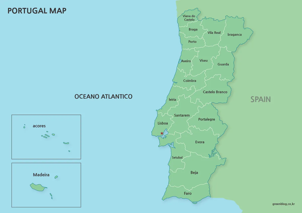
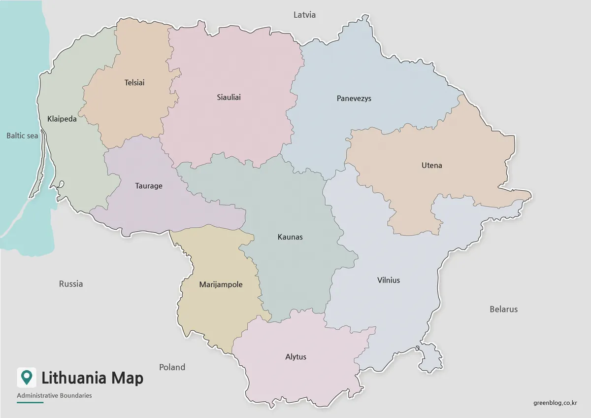
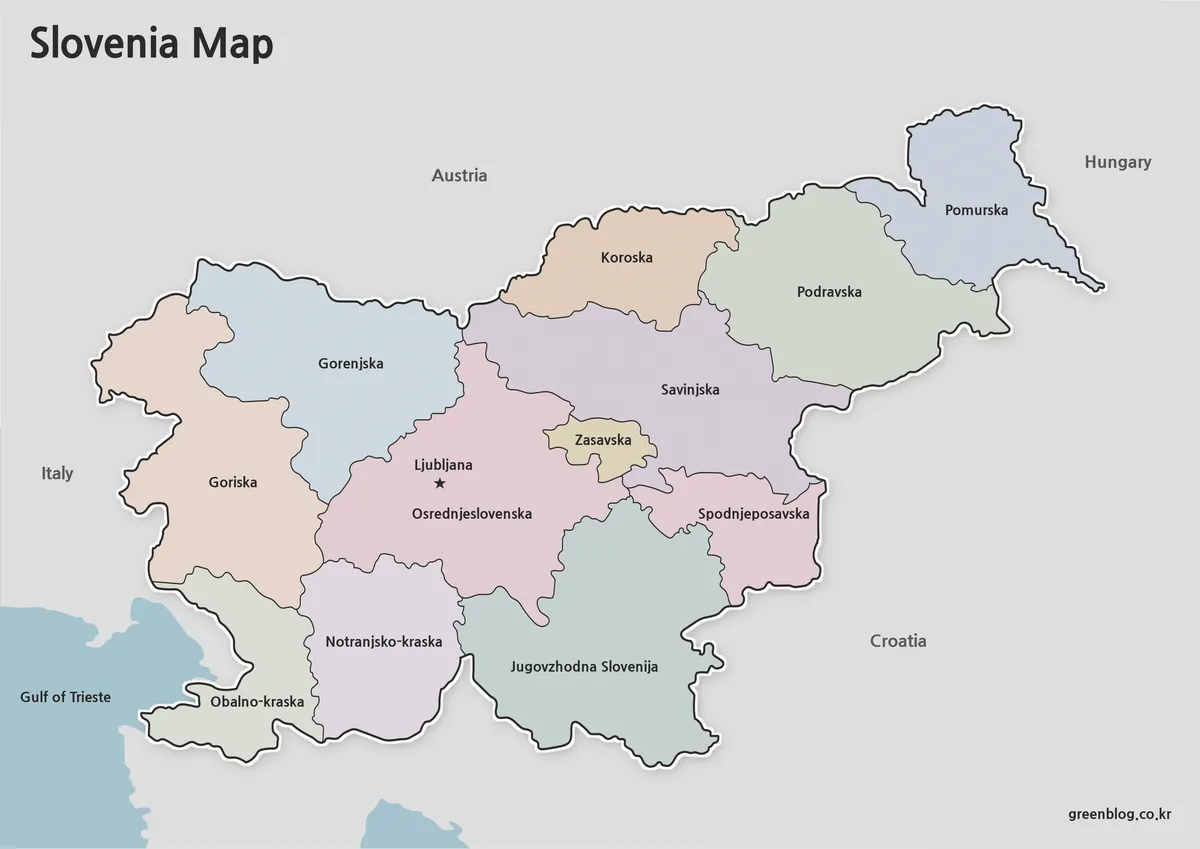
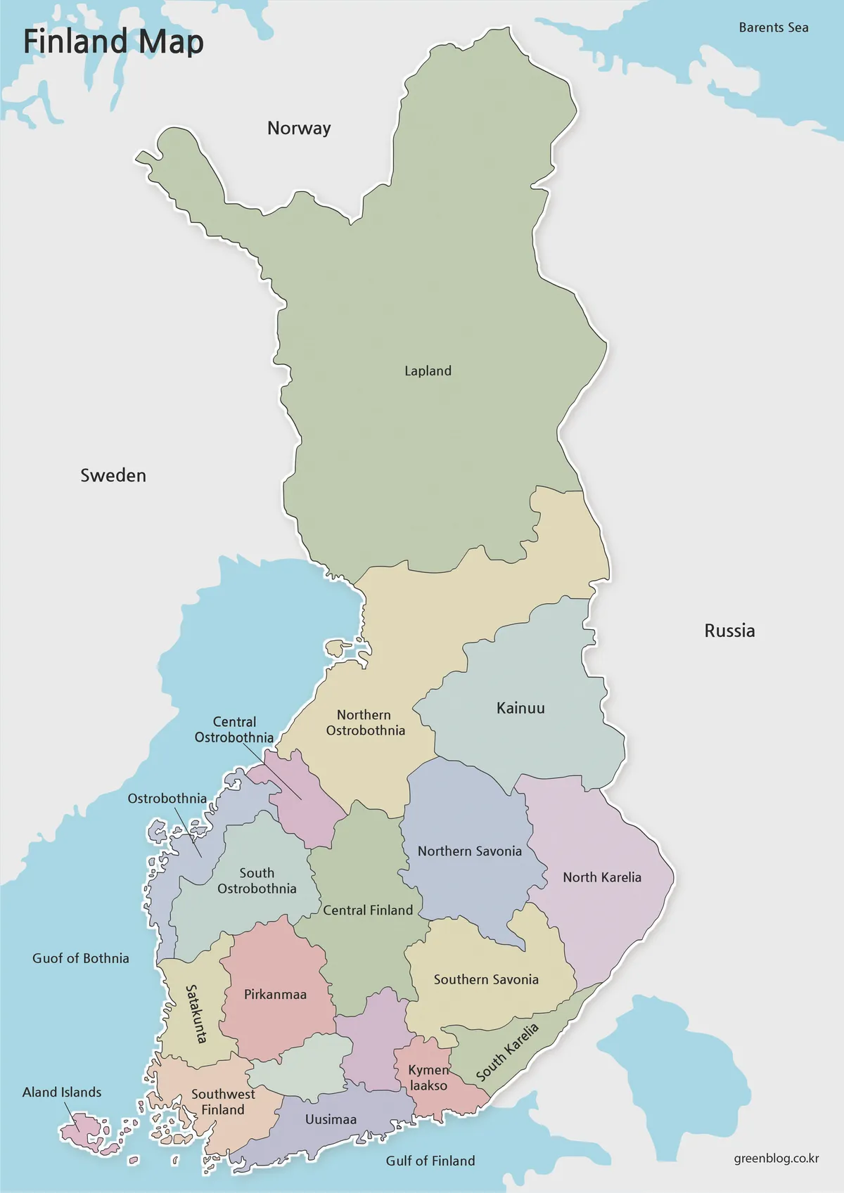
This printable London map collection was created for users who need a cleaner and easier way to view the city’s borough structure through printable and editable London map versions.
Instead of focusing on highly detailed street navigation, the maps were designed around regional layout, administrative boundaries, and printable readability.
The collection includes five different versions:
- Korean labeled color map
- English labeled color map
- Korean printable basic map
- English printable basic map
- Blank outline map for editing
All files were prepared in large A3 resolution for presentation slides, infographic work, educational printing, and graphic editing projects.
Table of Contents
Quick Overview of the Included Files
This printable London map set includes:
- Color-coded borough maps
- Black and white printable versions
- Editable outline maps
- Korean and English labeled versions
- High-resolution A3 files
Each London map version was designed for different types of printable and visual reference use.
File formats included:
- JPG
- PNG
- ZIP archive
The maps work well for:
- classroom reference
- travel presentations
- blog graphics
- infographic projects
- printable study materials
- editable design work
Why London Was an Interesting Map Project
London has a surprisingly different structure compared to Seoul.
Even though both cities are large urban centers, London spreads across a much wider area with lower population density. That wider layout makes borough boundaries easier to distinguish visually, which worked especially well for color-coded regional maps.
Designing a London map is slightly different from creating large country maps because borough density affects readability much more directly.
The city is also divided into many administrative boroughs, so combining Korean and English labels in one file quickly became difficult to read. Because of that, separate Korean and English versions were created instead of forcing both languages into the same layout.
That change made the overall London map collection much cleaner and easier to use.
Color-Coded Borough Layout
Korean Version
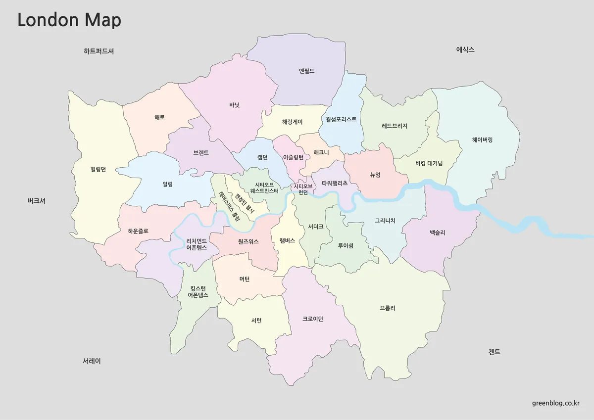
The Korean labeled version was designed for Korean-speaking users who want faster regional recognition.
Different colors were applied to each borough to make the overall structure easier to scan visually. This version works especially well for blog articles, classroom explanations, and city comparison materials.
The larger A3 layout also helps when displaying the London map on screens during presentations.
Useful for:
- Korean-language presentations
- travel blog graphics
- regional comparison materials
- educational handouts
English Borough Map Version
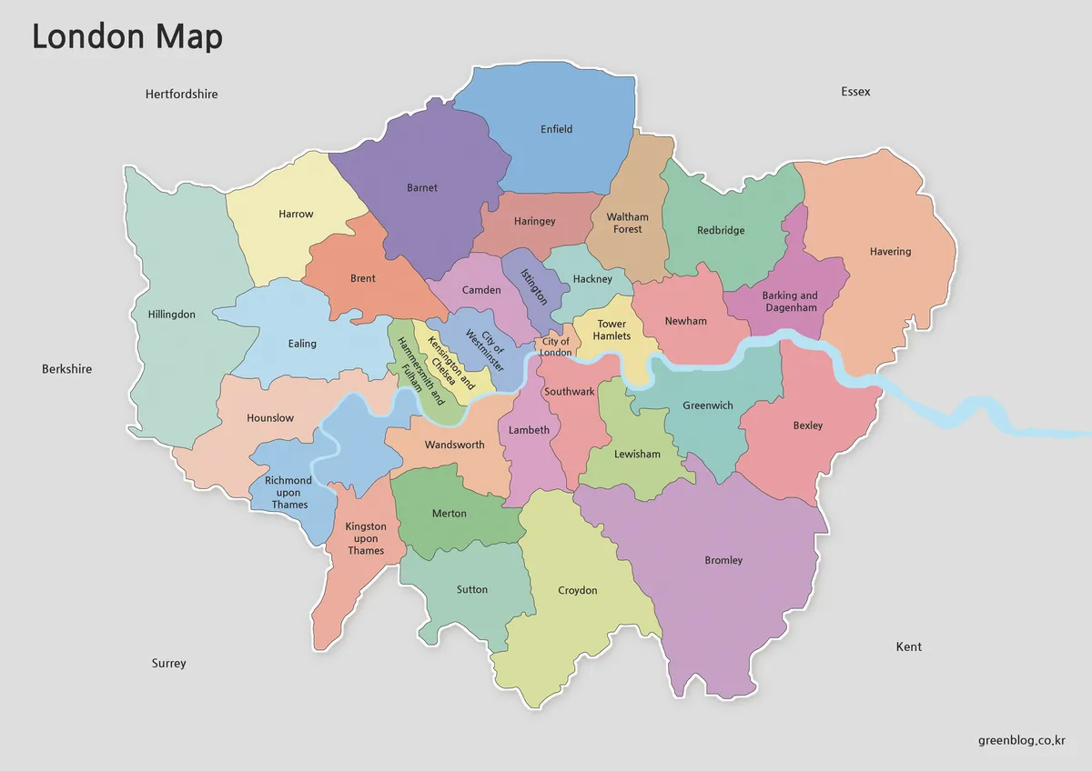
The English labeled London map focuses on borough readability for international users.
This London map works better when searching for districts, building travel plans, or creating English-language content. Borough names were checked using publicly available administrative references and adjusted for readability inside the map layout.
Instead of adding too many visual details, the design stays relatively clean so the borough structure remains easy to understand at a glance.
Designed for:
- English blog content
- tourism presentations
- classroom projects
- infographic references
Built for Printing and Annotation Work
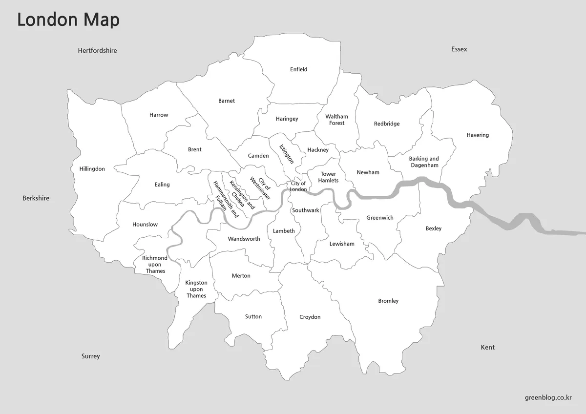
The black and white versions were created mainly for printing.
Removing background colors makes district names and borders much easier to read on paper. These versions are especially useful for worksheets, classroom materials, and situations where handwritten notes or highlights need to be added later.
The simplified structure also works well for presentation handouts.
Practical uses include:
- printed study resources
- annotation work
- classroom exercises
- editable presentation material
Blank Outline Map for Editing
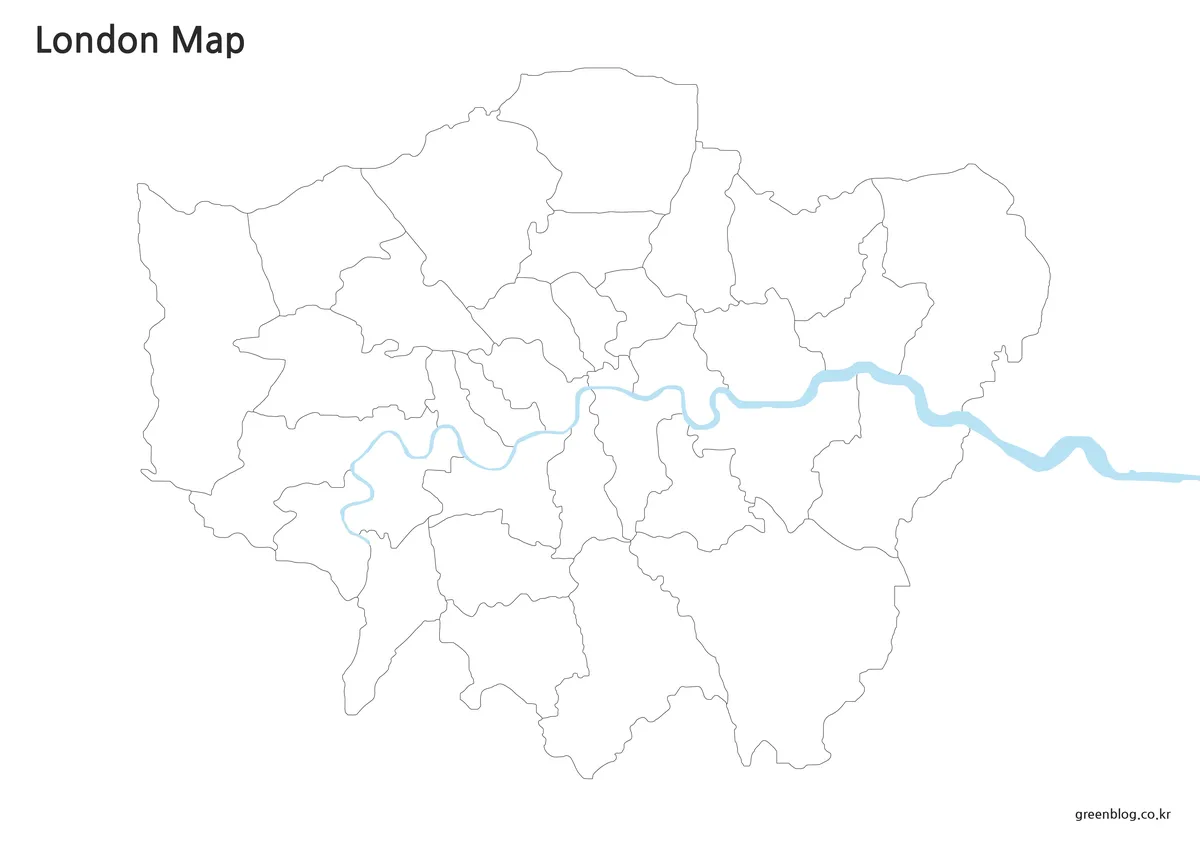
The outline map removes labels and colors entirely, leaving only borough boundaries.
This version was prepared for users who want to build their own visual projects using London’s regional structure as a base. Because the borders remain connected cleanly, it becomes much easier to add custom colors, travel routes, statistics, or infographic overlays.
The outline version is often the most flexible file in the collection.
Useful for:
- infographic creation
- graphic editing
- travel route visualization
- presentation design
- educational worksheets
Practical Use Cases
Different versions fit different situations.
The color maps work better when explaining overall regional flow. The printable versions are easier to read during classroom or document use. The outline maps are more suitable for editing projects where users need to customize the layout themselves.
Because of that, separating the collection into multiple styles became more useful than trying to force everything into a single map design.
Frequently Asked Questions
Which version is best for printing?
The black and white versions are usually easier to print and annotate.
Is the outline map editable?
Yes. The outline version was designed for editing, infographic work, and custom annotations.
Why are Korean and English maps separated?
Combining both languages into one map reduced readability because London boroughs are densely packed.
Are the files suitable for large screens and presentations?
Yes. The collection was prepared in high-resolution A3 format.
London Map Download
The London map files can be downloaded from the link below. Choose the version you need, including Korean labeled maps, English labeled maps, and outline maps.
- File Format: JPG / PNG / ZIP
- Usage: Print · Presentation · Editing · Infographics
- Size: A3 High Resolution
The files are provided in ZIP format. After downloading, extract the ZIP file to use the maps.
Related Maps
- Netherlands Map in A3 Size – Color, Labeled, and Blank Outline Versions
- Greece Map Download Pack – Printable Regional and Outline Maps
- Denmark Map Collection – Printable Color, Black and White, Outline
- New Zealand Maps Download Collection Featuring 3 Distinct Visual Styles
Additional London travel and city information can also be found through Visit London Official Guide and City of London Corporation.
Green Map creates custom-edited map images using open geographic data sources such as geoBoundaries, Natural Earth, OpenStreetMap, and government open data.
These maps are edited visual materials, not raw data files, and are provided for education, documents, presentations, and graphic reference.