
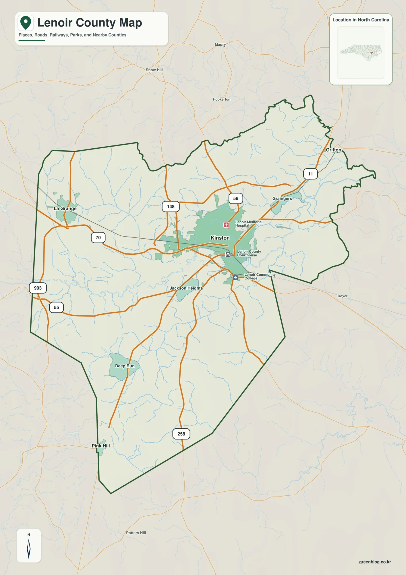
Lenoir County North Carolina map | Kinston and Neuse River
Lenoir County North Carolina map is organized by Kinston on the Neuse, but La Grange to the west and Pink […]
Lenoir County North Carolina map | Kinston and Neuse River Read More »
Lenoir County North Carolina map is organized by Kinston on the Neuse, but La Grange to the west and Pink […]
Lenoir County North Carolina map | Kinston and Neuse River Read More »
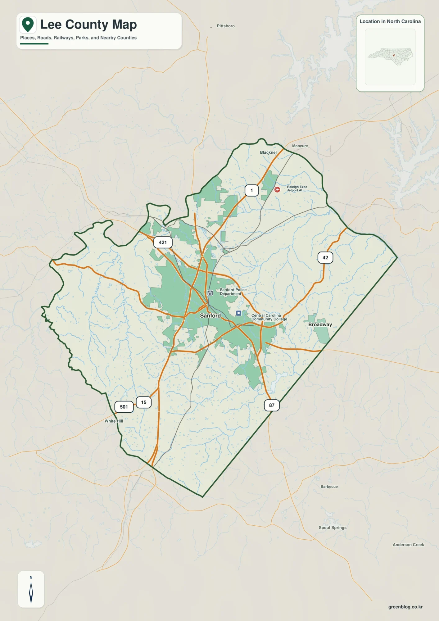
Lee County North Carolina map compresses a strong Sanford urban center and a distinct Deep River north into a relatively
Lee County North Carolina map | Sanford and Deep River Read More »
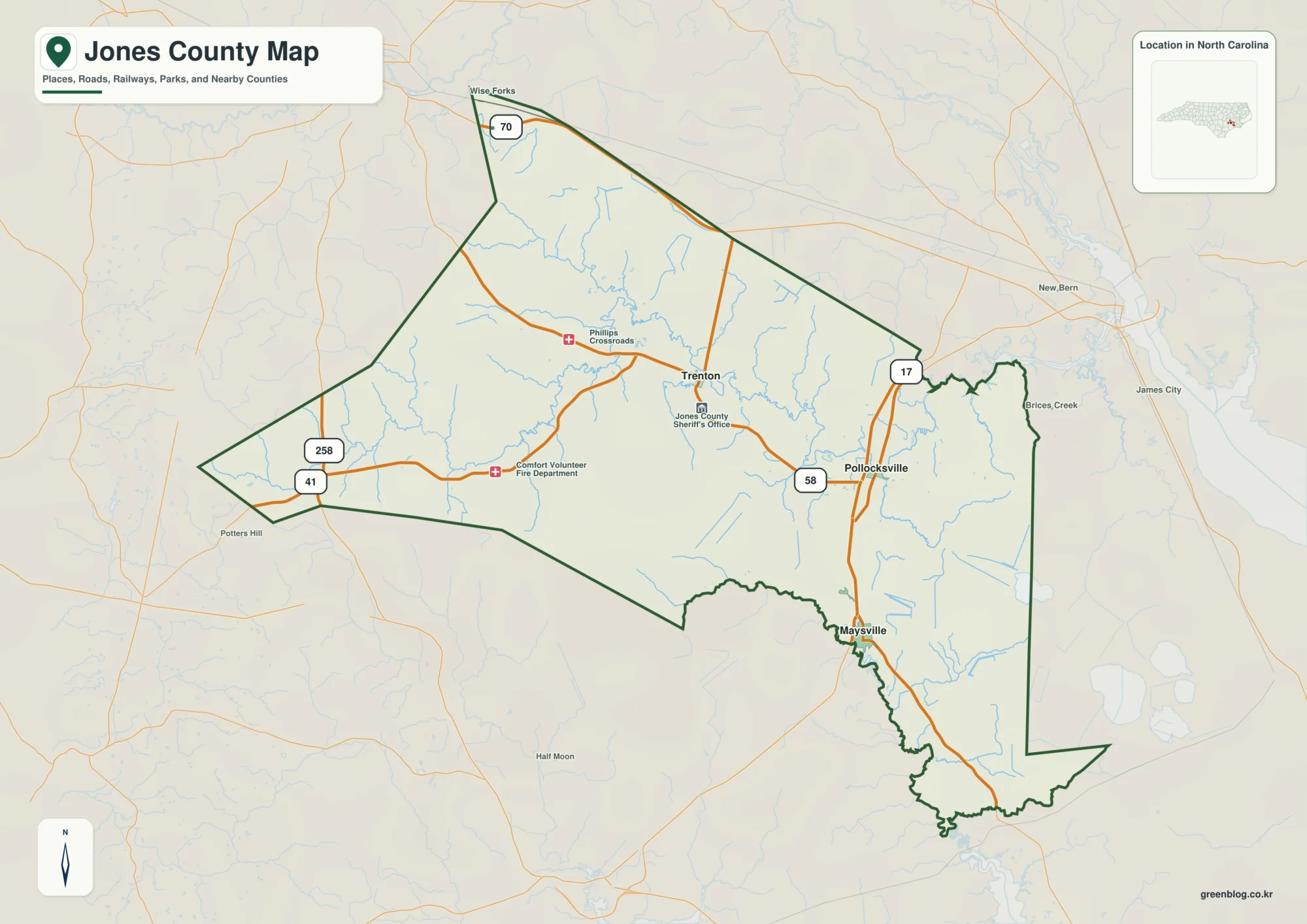
Jones County North Carolina map is a forest-and-water map before it is a town map. The Trent River, broad swamp
Jones County North Carolina map | Trenton and Trent River Read More »
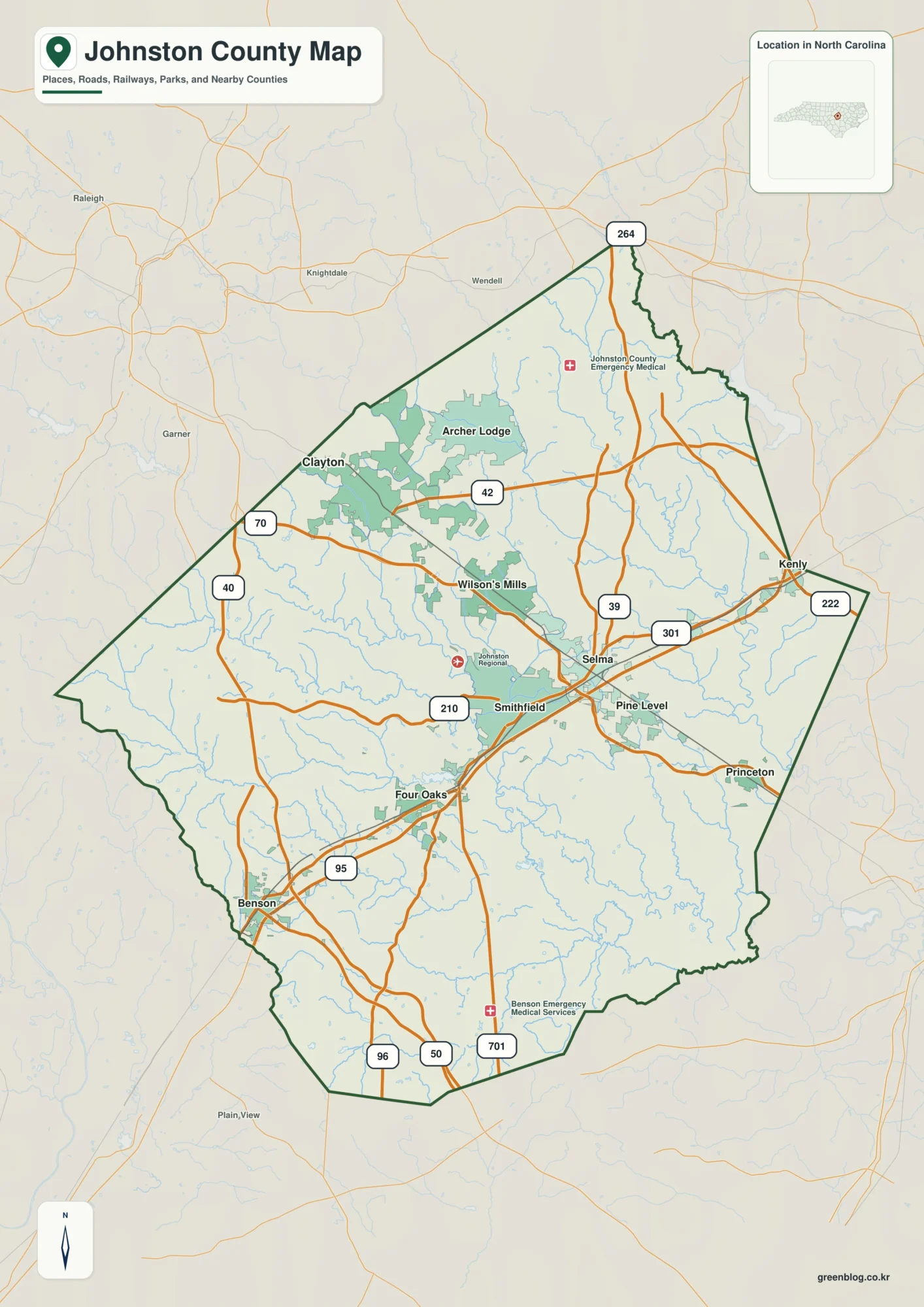
Johnston County North Carolina map becomes clearer when Smithfield on the Neuse is separated from the Clayton growth corridor near
Johnston County North Carolina map | Smithfield and Neuse River Read More »
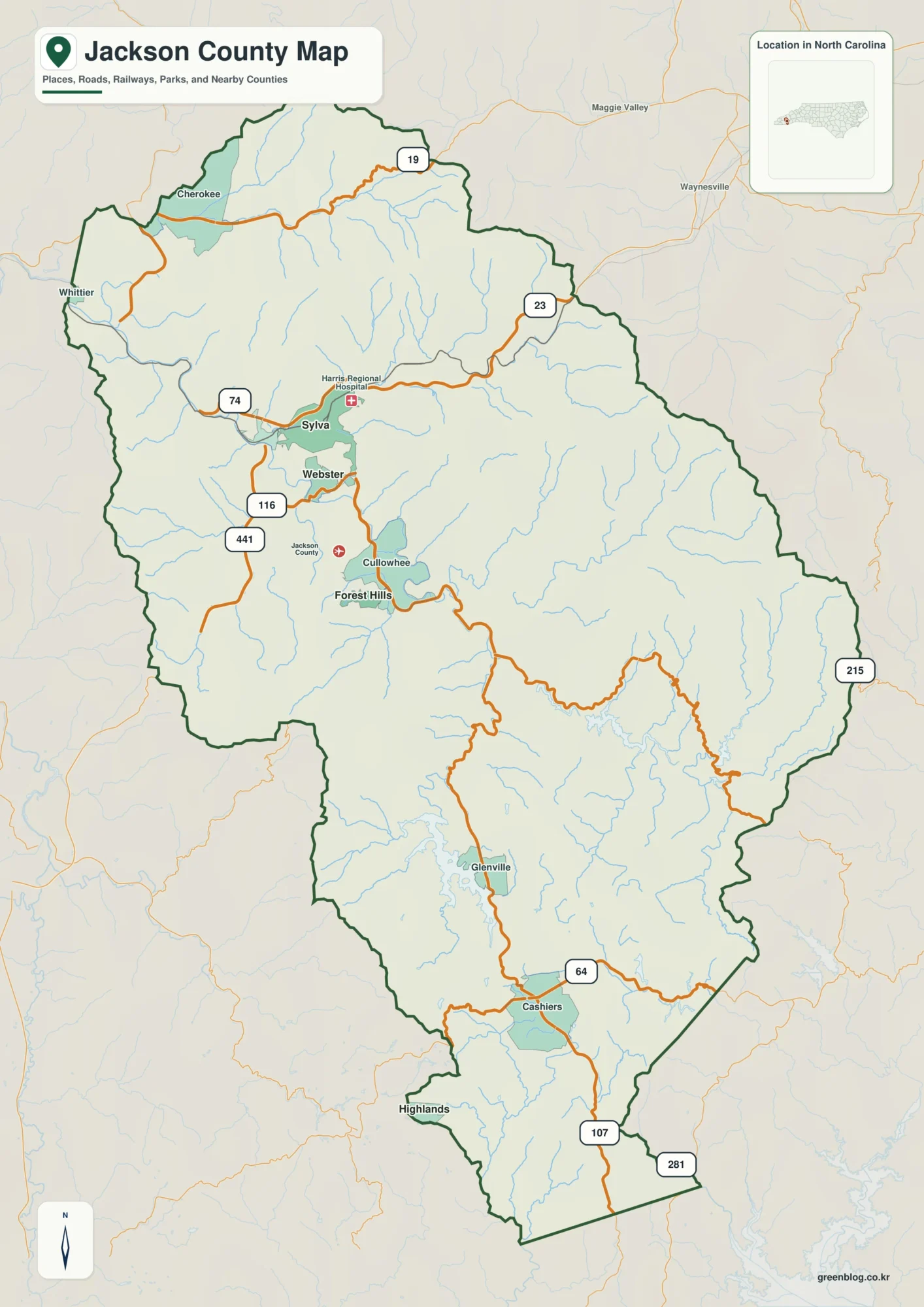
Begin this Jackson County North Carolina map with Tuckasegee River, then place Sylva and Cashiers around it. That order reveals
Jackson County North Carolina map | Sylva and Tuckasegee River Read More »
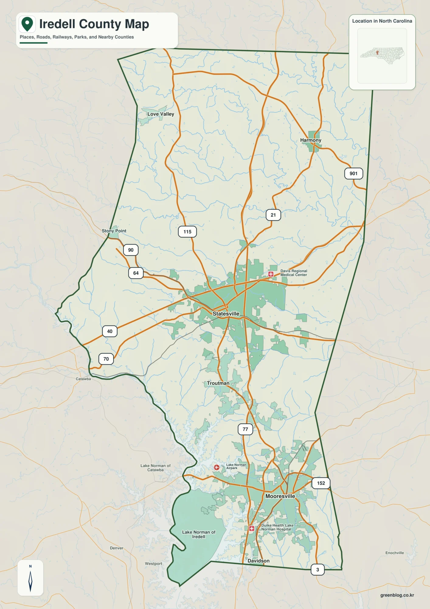
Iredell County North Carolina map makes more sense when Mooresville and Lake Norman are treated as equal orientation references with
Iredell County North Carolina map | Statesville and Lake Norman Read More »
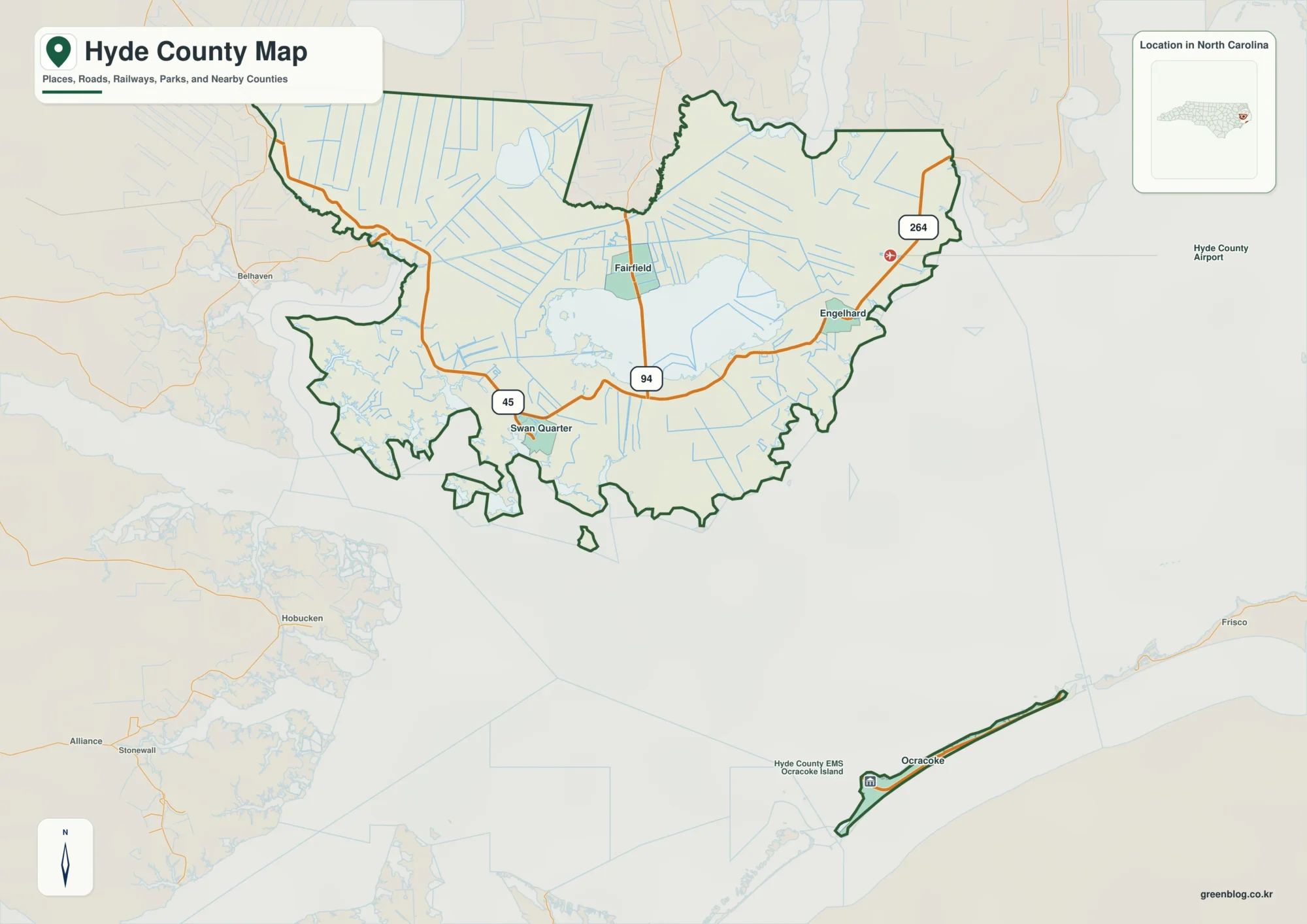
Hyde County North Carolina map needs a mainland-versus-island reading from the start. Swan Quarter and Engelhard belong to the mainland
Hyde County North Carolina map | Lake Mattamuskeet and Ocracoke Read More »
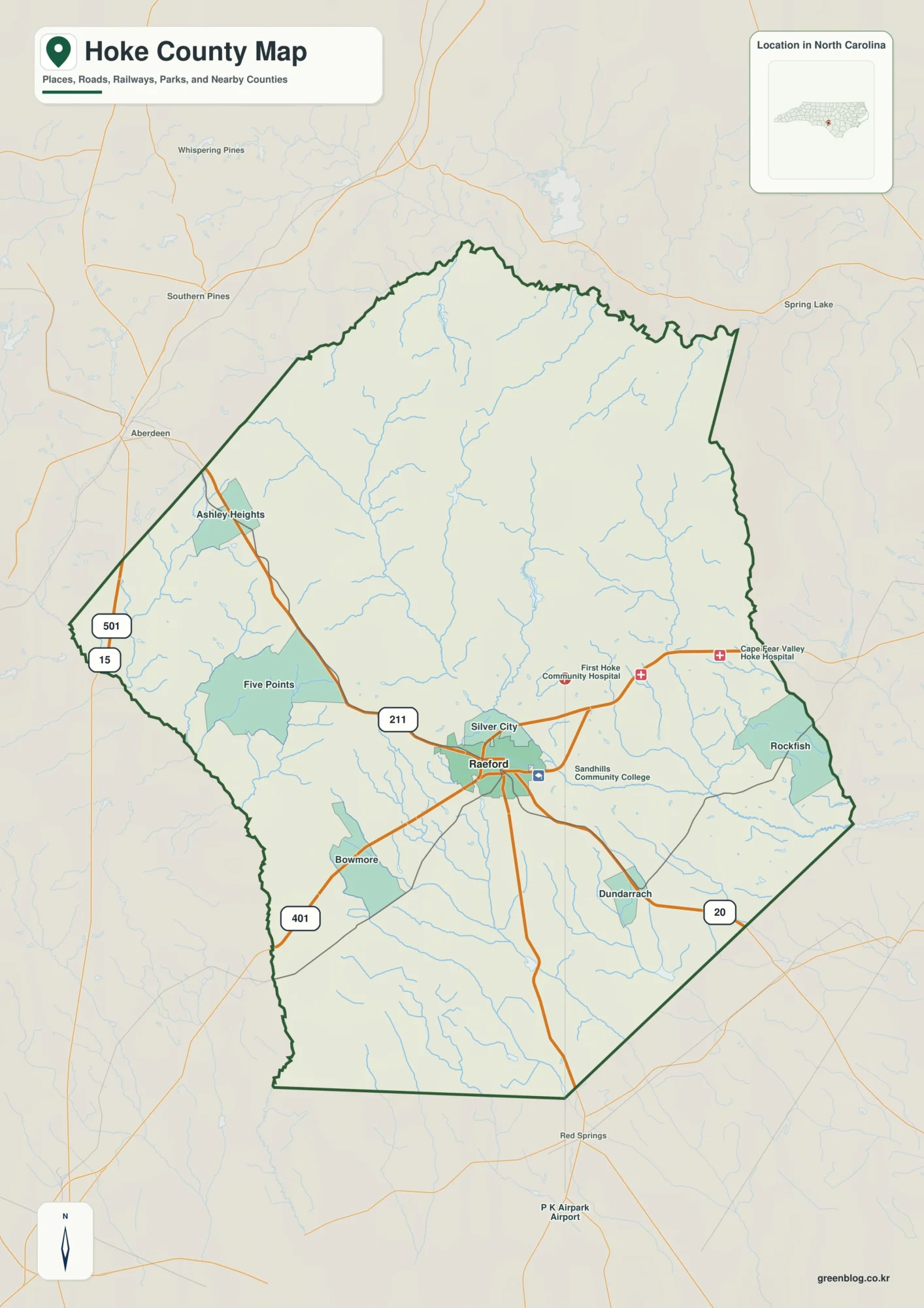
Raeford is not enough to explain this Hoke County North Carolina map. Rockfish occupies a different geographic role, and together
Hoke County North Carolina map | Raeford and Rockfish Creek Read More »
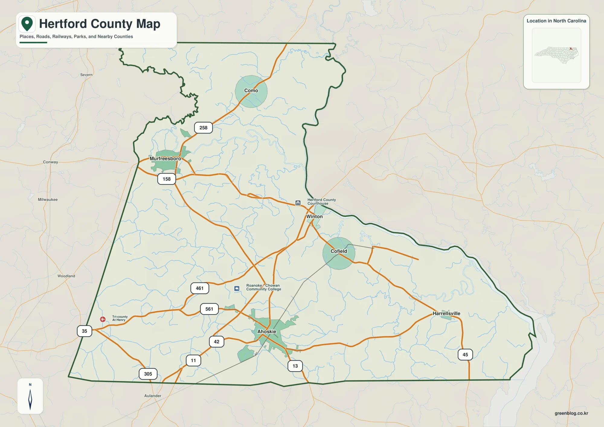
Begin this Hertford County North Carolina map with Chowan River, then place Winton and Ahoskie around it. That order reveals
Hertford County North Carolina map | Winton and Chowan River Read More »