
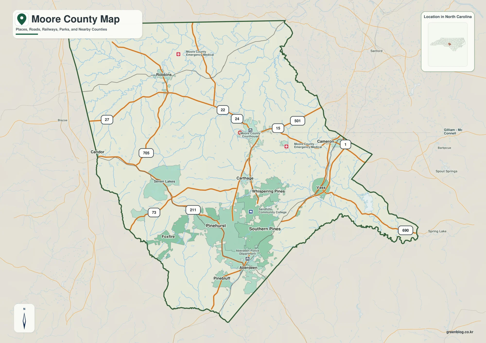
Moore County North Carolina map | Carthage and Pinehurst
Moore County North Carolina map is best read as a Sandhills county where Carthage is the seat but Pinehurst and […]
Moore County North Carolina map | Carthage and Pinehurst Read More »
Moore County North Carolina map is best read as a Sandhills county where Carthage is the seat but Pinehurst and […]
Moore County North Carolina map | Carthage and Pinehurst Read More »
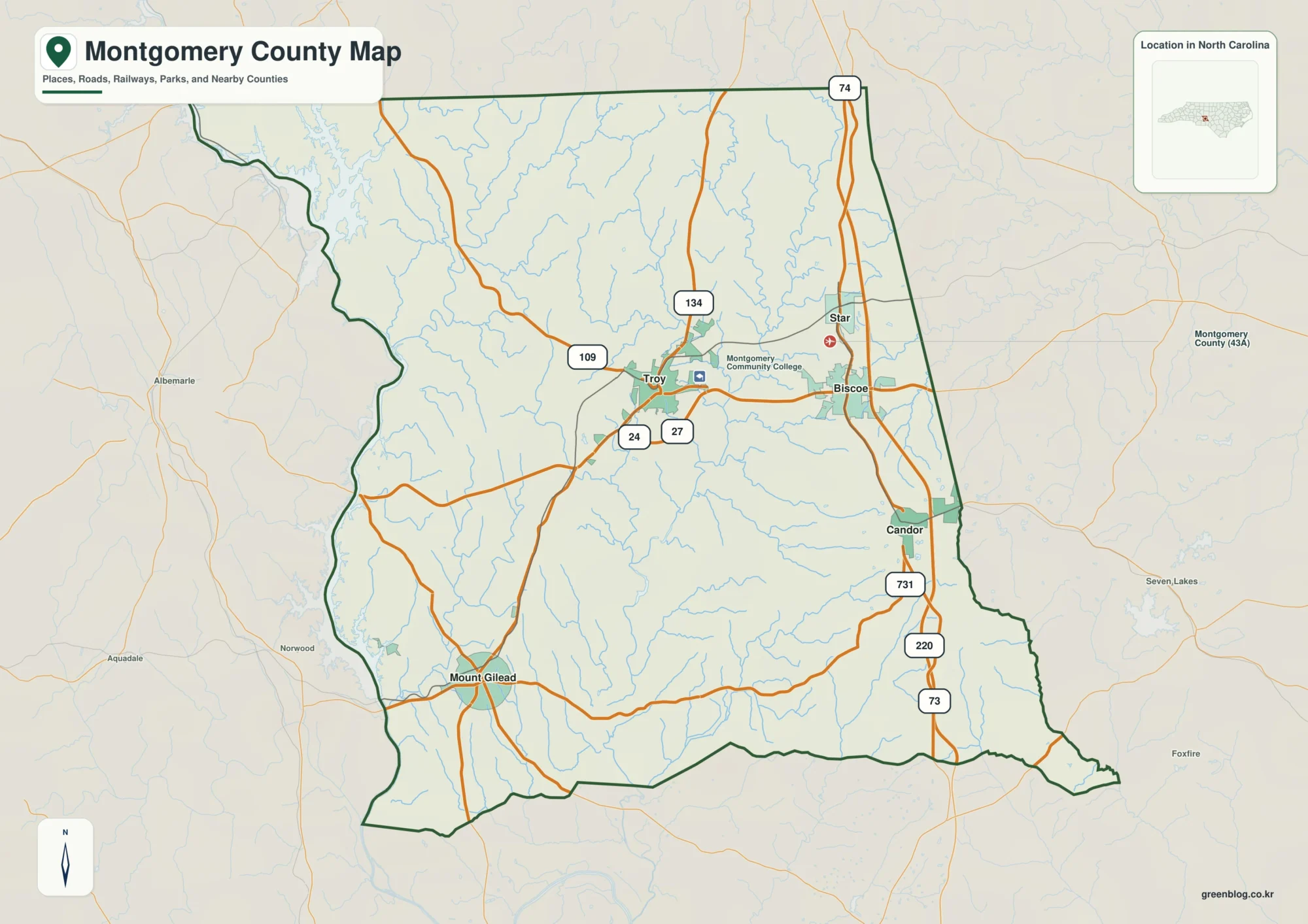
Montgomery County North Carolina map is best read as a forest-and-reservoir county where Troy is small compared with Uwharrie National
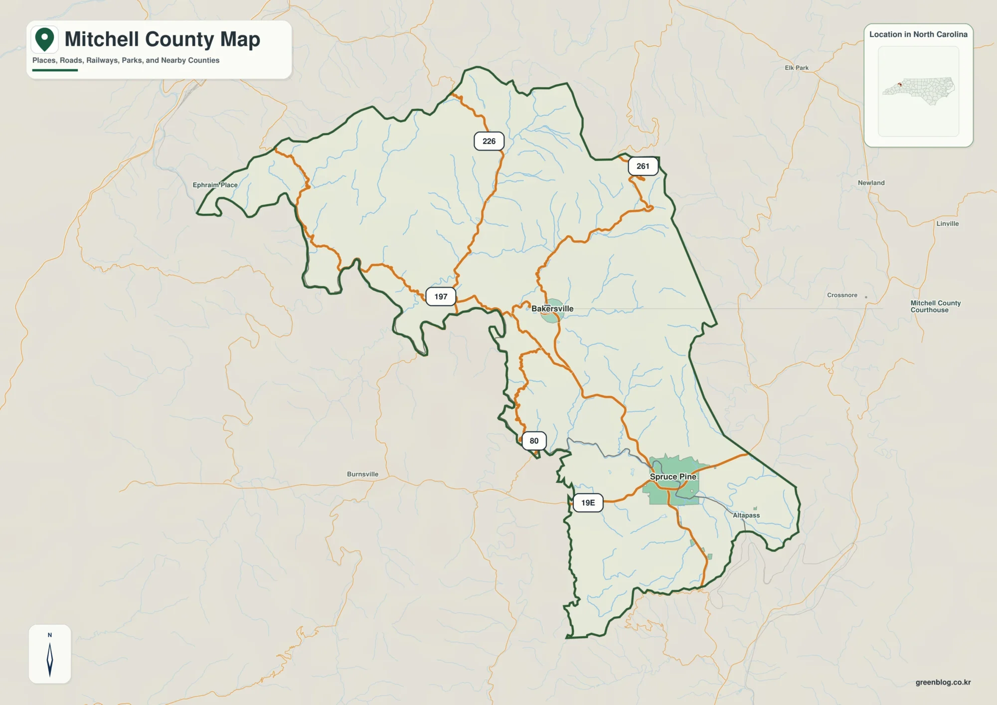
Mitchell County North Carolina map is best read as a mountain county where Bakersville and Spruce Pine occupy different valley
Mitchell County North Carolina map | Bakersville and North Toe River Read More »
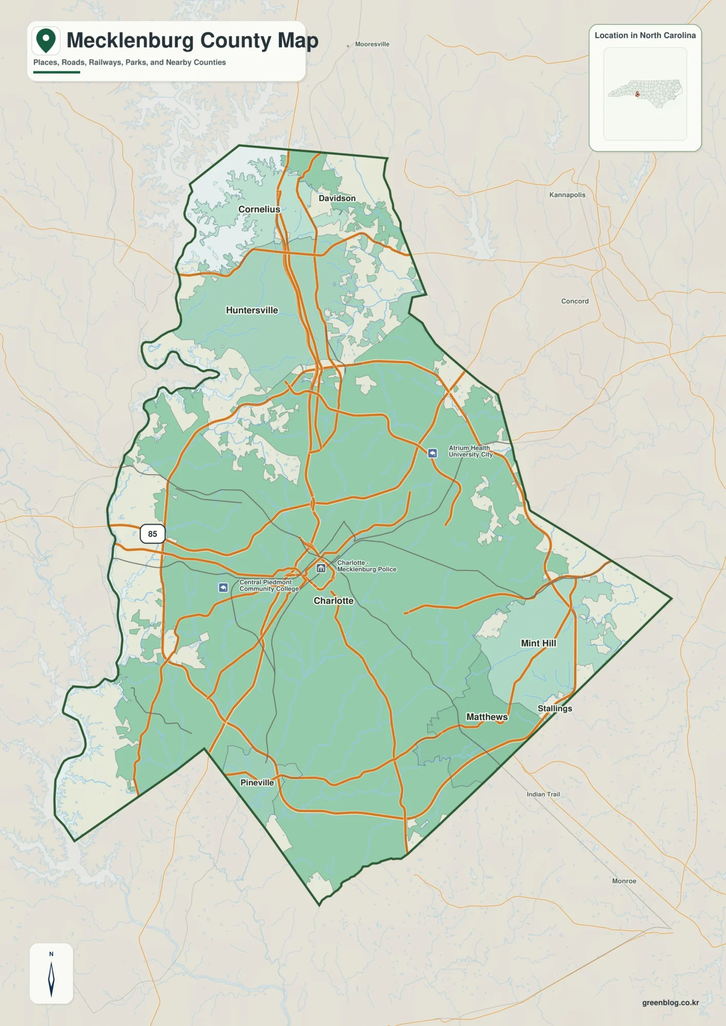
Mecklenburg County North Carolina map needs more than a Charlotte-center zoom. Huntersville points toward the northern Lake Norman/Iredell corridor, Matthews
Mecklenburg County North Carolina map | Charlotte Read More »
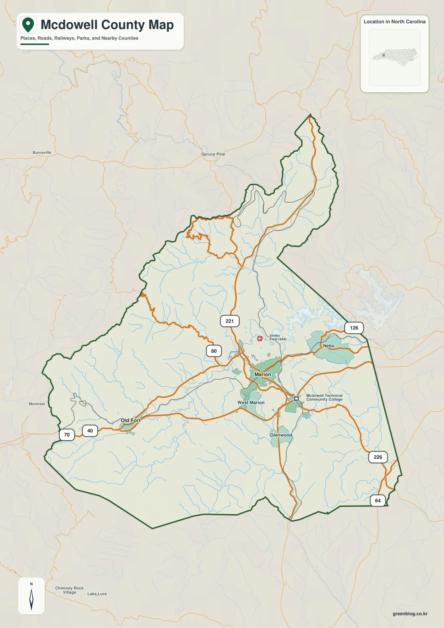
McDowell County North Carolina map spans a sharp relief change from Marion’s lower valley to Old Fort and the Blue
McDowell County North Carolina map | Marion and Catawba River headwaters Read More »
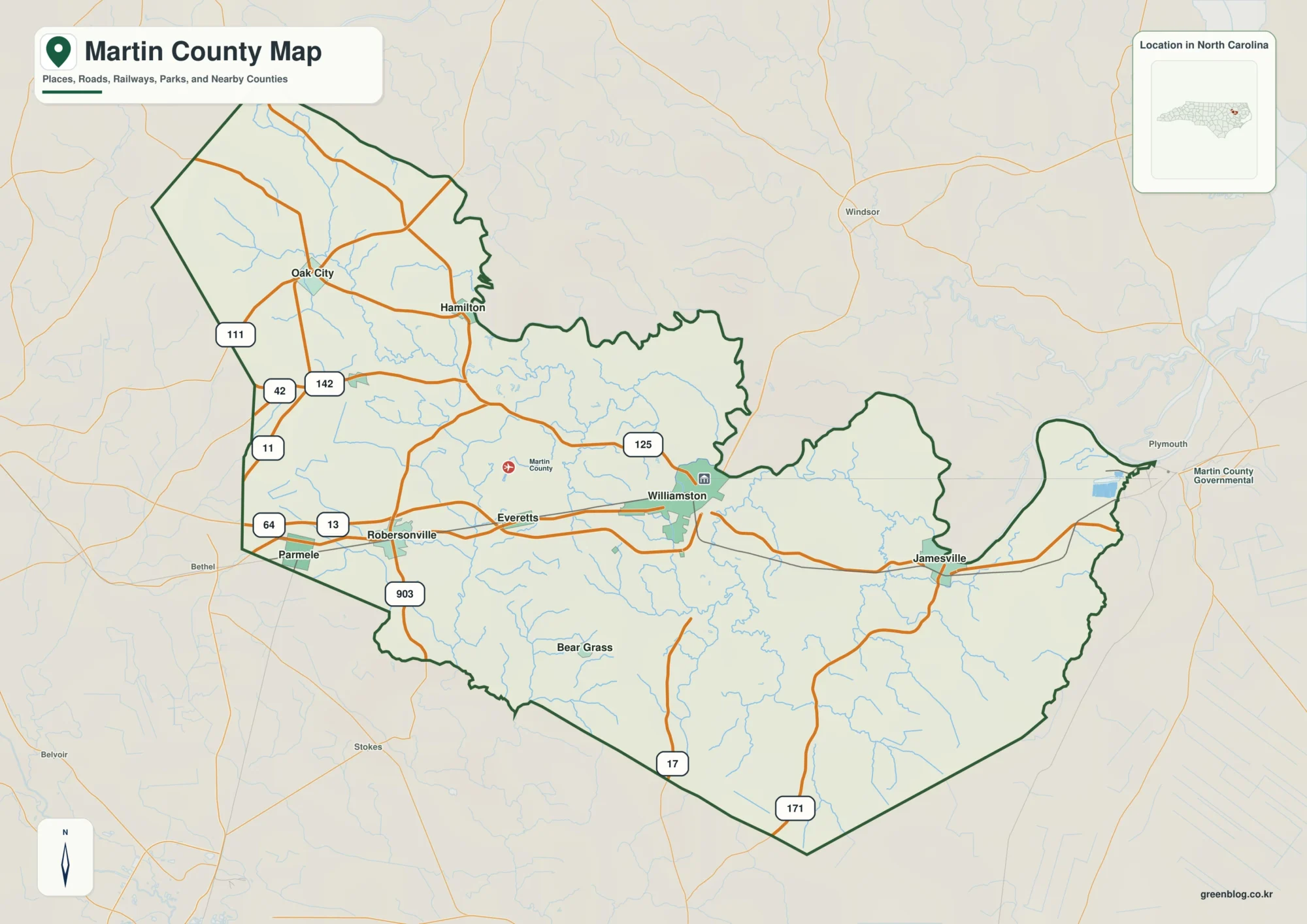
Martin County North Carolina map separates two Roanoke River places—Williamston and Jamesville—from inland Robersonville. The contrast reflects the county’s shipping
Martin County North Carolina map | Williamston and Roanoke River Read More »
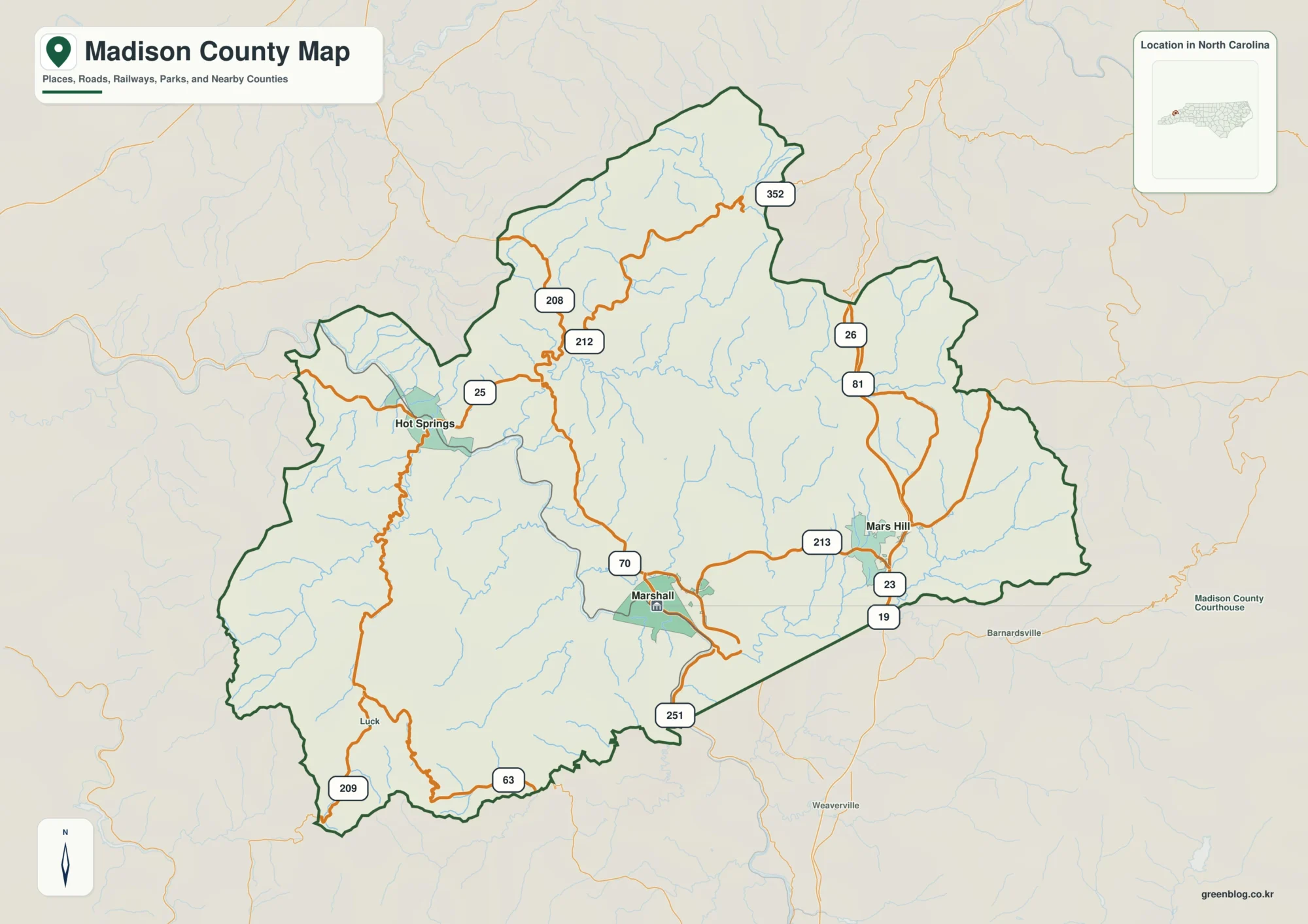
Madison County North Carolina map follows three different mountain corridors: Marshall on the French Broad, Hot Springs farther west where
Madison County North Carolina map | Marshall and French Broad River Read More »
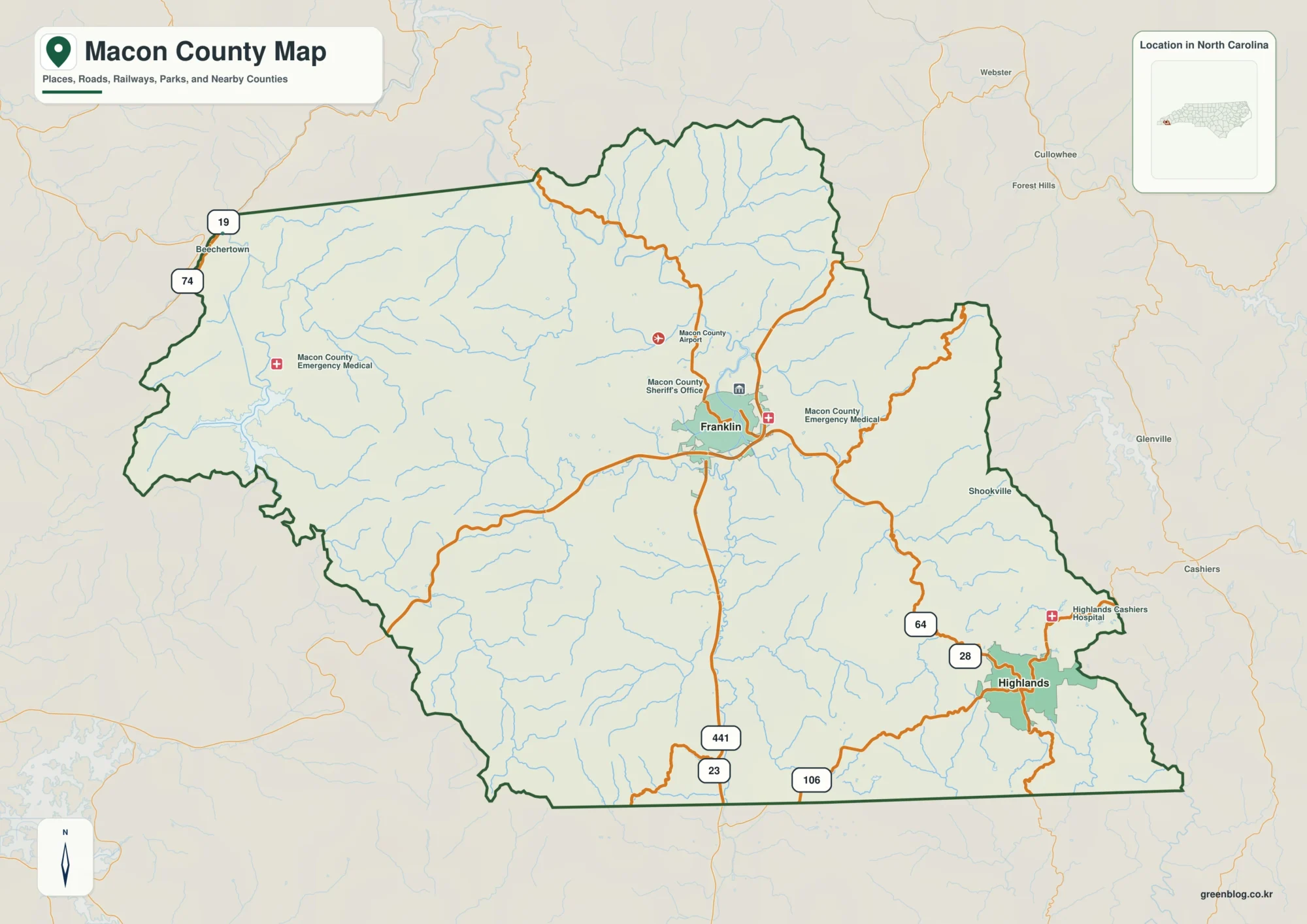
Macon County North Carolina map should not place Franklin and Highlands in one equivalent mountain zone. Franklin sits in the
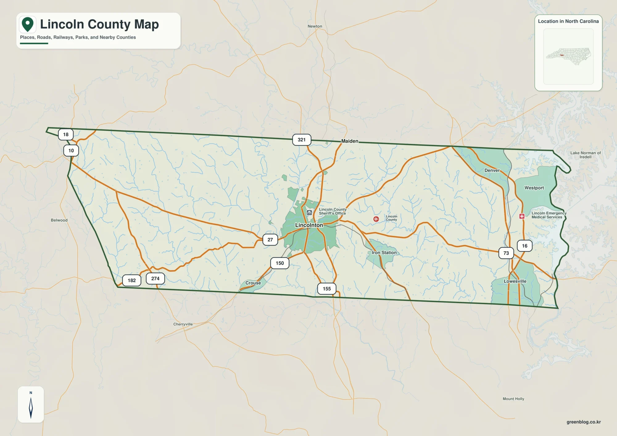
Lincoln County North Carolina map needs a deliberate split between inland Lincolnton and the Lake Norman side. Denver is much