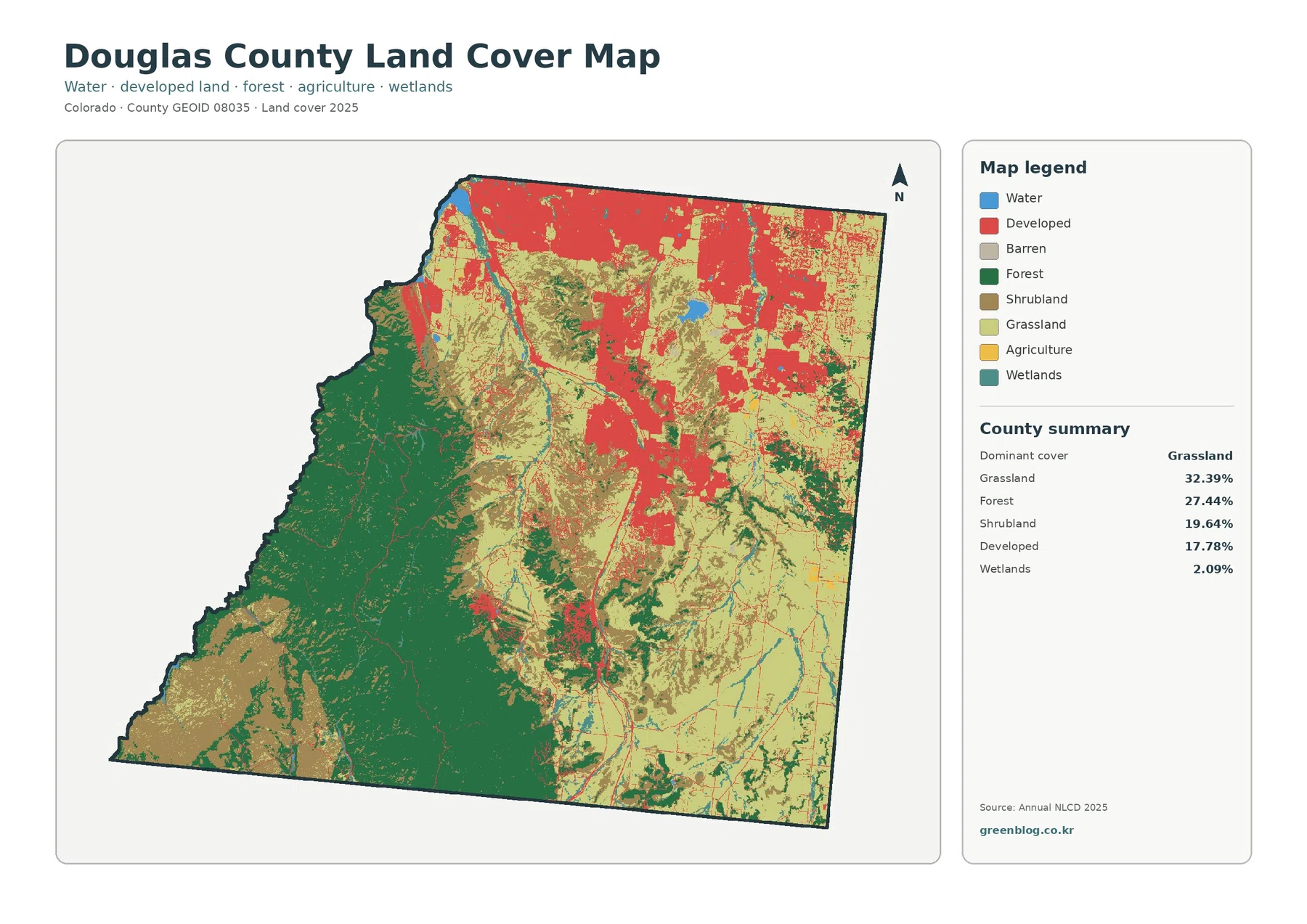
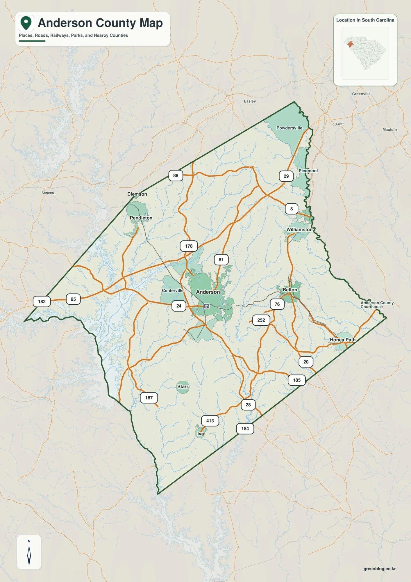
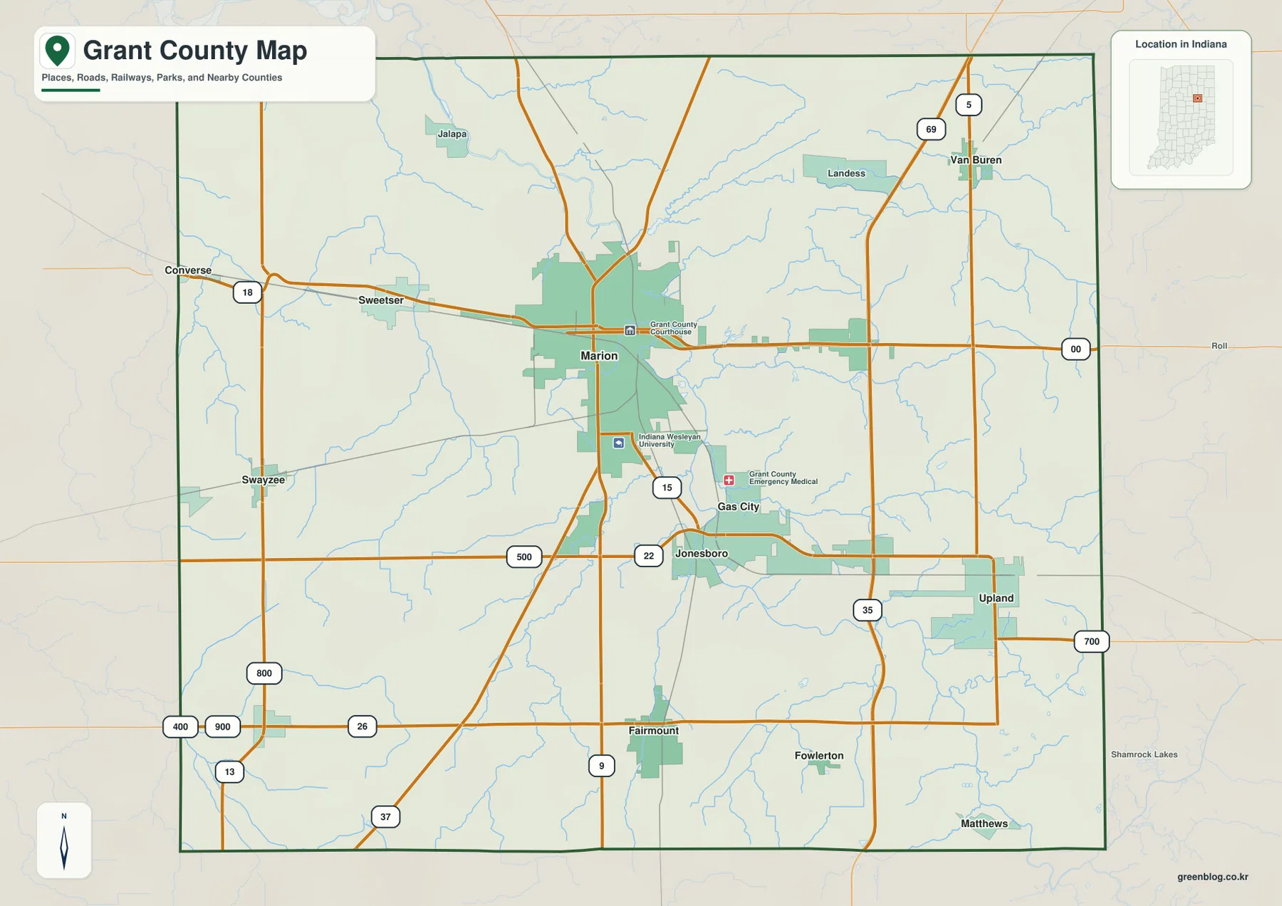
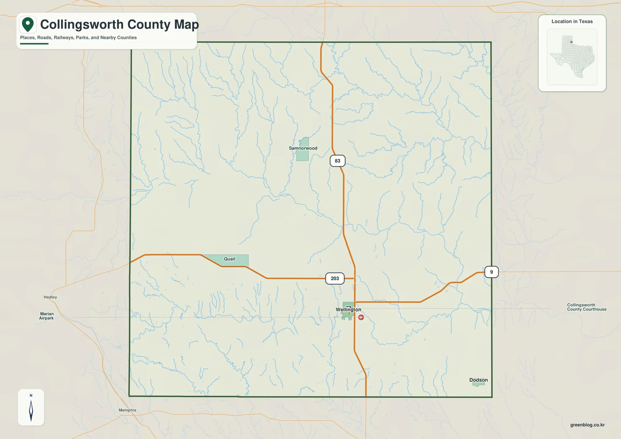
The McDowell County North Carolina Map on this page is designed for readers who need both a quick geographic overview and downloadable map files. The page includes a county map with roads and places, a city map that highlights Marion and Old Fort, and a terrain-and-water map showing the upper Catawba system, tributaries, lakes, and the county’s steep mountain setting. You can study the WebP previews in the article and use the download box below to get the matching high-resolution A3 JPG maps in one ZIP file.
McDowell County is easier to understand when settlements, roads, and water are viewed together. Marion sits near the central road network, Old Fort lies farther west in more rugged terrain, and Nebo provides a useful eastern reference near the Lake James side of the county. Meanwhile, branches of the Catawba River descend through valleys cut into the mountains. The result is a county where two places that appear close on a small map can still be separated by ridges, winding roads, and narrow stream valleys.
Table of Contents
Start with Marion to understand the county’s road pattern
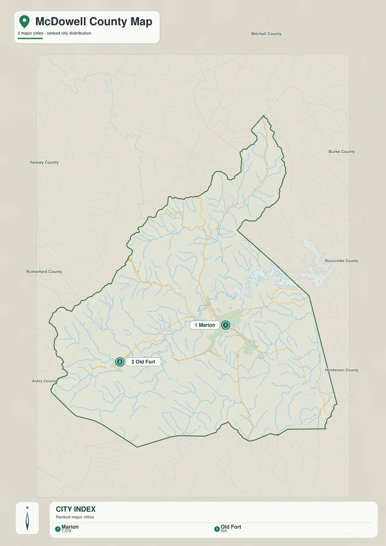
Marion is the clearest starting point on the general county map. It appears near the middle of the county with West Marion and Glenwood close by, while Nebo is set apart to the east and Old Fort lies well to the west. Labels outside the county, including Burnsville, Spruce Pine, Montreat, Chimney Rock Village, and Lake Lure, help place McDowell within the larger mountain region of western North Carolina. These surrounding references are useful when the county outline alone does not provide enough context.
The road network also concentrates around Marion. Route shields visible on the map include 40, 70, 80, 221, 126, 226, and 64. The western connection between Old Fort and Marion is especially easy to follow, while US 221 provides a strong north-south reference through the central part of the county. East of Marion, routes toward Nebo and the Lake James side of the map take a different direction. Because the roads respond to valleys and mountain slopes rather than following a simple grid, the map gives a better sense of travel than a straight-line distance measurement would.
Marion and Old Fort show two different sides of McDowell County
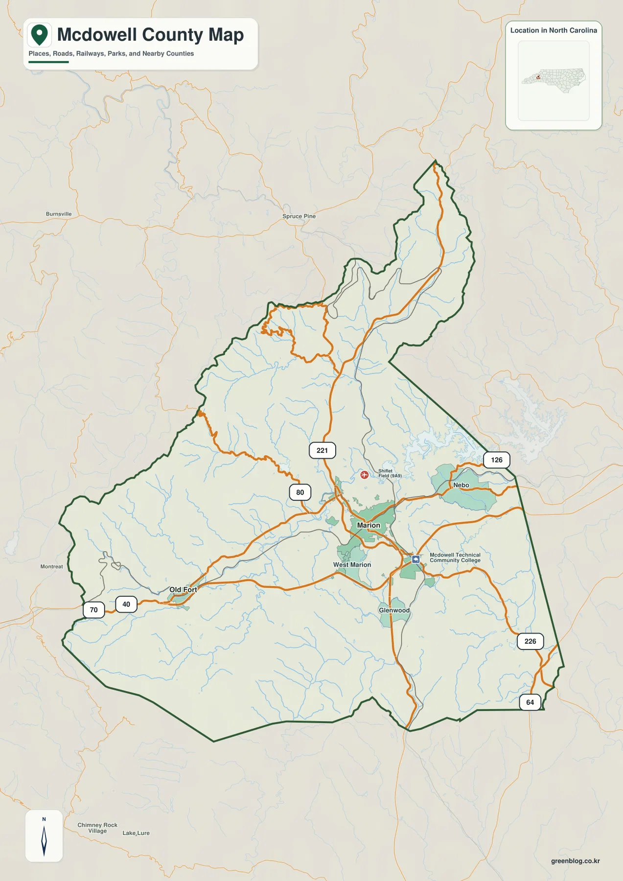
The city map strips away much of the detail and makes the relationship between Marion and Old Fort easy to see. Marion is marked near the central part of the county, where roads and developed areas are more concentrated. Old Fort is positioned west of Marion in the broader mountain section. The map ranks Marion first and Old Fort second among the highlighted cities, but the useful point is not the ranking itself; it is the separation between the central county seat and the western mountain community.
County names around the edge of the city map provide another layer of orientation. Labels around the outer frame include Mitchell, Burke, Buncombe, Rutherford, Avery, Yancey, and Henderson Counties. These labels are best used as directional references rather than as a substitute for a dedicated regional boundary map. Their main value is showing that McDowell sits among several western North Carolina counties where mountain terrain strongly influences travel and settlement.
For practical use, Marion is the administrative anchor because it is the county seat. Old Fort is a strong western reference, and Nebo on the general map adds an eastern point near Lake James. Using all three place names prevents the county from being reduced to Marion alone. A reader planning a trip, comparing nearby communities, or locating an address can first determine whether the destination is west of Marion toward Old Fort, near the center, or east toward Nebo and the lake side.
The upper Catawba network follows the mountain valleys
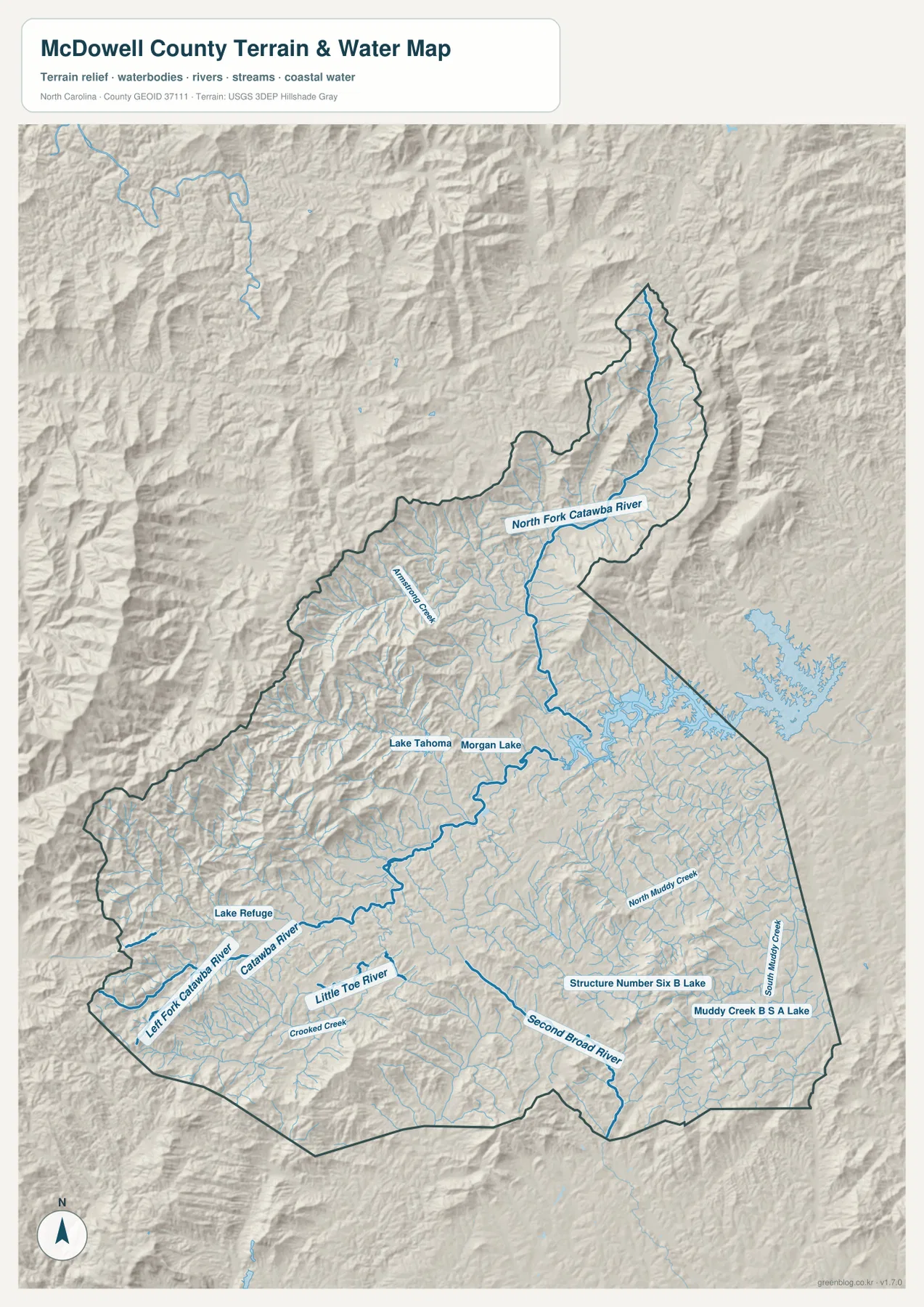
The terrain-and-water map is the most detailed of the three for understanding rivers and relief. The Catawba River is labeled across the western and central part of the county. Left Fork Catawba River enters from the western side, while North Fork Catawba River runs down the long northern section before joining the main system farther south. Together these channels show why the term “Catawba headwaters” matters here: this is an upper-basin landscape where major streams are still closely tied to steep valleys and mountain slopes.
The southern part of the map adds a different set of waterways. Little Toe River is labeled south of the main Catawba corridor, and Second Broad River appears farther southeast. Smaller named streams include Armstrong Creek, Crooked Creek, North Muddy Creek, and South Muddy Creek. Their branching pattern is easy to see against the shaded terrain. Rather than running through a flat surface, the streams occupy narrow low points between ridges, and that relationship explains much of the county’s irregular drainage pattern.
Several lakes and smaller reservoirs are also labeled. Lake Tahoma and Morgan Lake sit near the central Catawba system, Lake Refuge appears farther west, and the southeastern section includes Structure Number Six B Lake and Muddy Creek B S A Lake. Part of the larger Lake James water area is visible beyond the eastern county edge on the preview. These water bodies give readers more precise local reference points than the river names alone, especially when looking at the Nebo side of the county or comparing tributaries that enter the broader Catawba system.
Mountain relief explains why road distance and map distance differ
The shaded relief on the water map makes one of McDowell County’s most important map-reading lessons obvious: terrain matters. The northern and western portions contain dense ridges and deeply cut valleys, while the area around Marion appears broader and less tightly folded. Roads naturally favor the lower corridors. This is why the general map and the terrain map work well as a pair. One tells you where the roads go; the other helps explain why they follow those particular routes.
The Old Fort-to-Marion corridor is a good example. On a simple outline, the two places may seem like a straightforward east-west connection. On the actual maps, however, Old Fort is embedded in rugged terrain and the route toward Marion follows a practical passage through the mountains. North of Marion, US 221 continues into a long, narrower part of the county where stream valleys and ridges strongly shape the available paths. East of Marion, the Nebo and Lake James side presents yet another combination of roads, water, and relief.
For travel planning, regional comparison, or classroom use, it is therefore better to treat the county boundary as only the outer frame. The interior pattern of mountains, valleys, river branches, and roads explains how the county functions geographically. A route that looks short on the city map may involve considerable climbing or a longer valley approach. Conversely, places connected by the same river valley or major road can be easier to reach than the map distance alone suggests.
A short historical note helps explain the county reference points
The existing county material identifies McDowell County as having been formed in 1842 from parts of Rutherford and Burke Counties. Marion is the county seat, which is why it serves as the main administrative reference throughout the page. That historical note is useful, but it does not replace the map itself. Modern readers still need Old Fort, Nebo, the Catawba headwaters, and the surrounding road network to understand how the county is arranged on the ground.
Keeping the historical and geographic information separate also avoids a common problem in county descriptions. A county seat tells you where government functions are centered; it does not tell you where the steepest terrain lies, how streams are arranged, or which community provides the best reference for a different side of the county. In McDowell, Marion, Old Fort, and Nebo each help with a different part of the map, while the Catawba system provides the natural framework connecting much of the interior.
Choose the map that matches the detail you need
Use the general county map first when you need roads, communities, the county outline, and nearby place labels on one page. It is the best starting point for locating Marion, West Marion, Glenwood, Nebo, or Old Fort and then connecting those places to numbered routes. It also gives enough surrounding context to orient the county within western North Carolina without overwhelming the page with every nearby feature.
The city map is simpler and works well when the question is specifically about the relative position of Marion and Old Fort. The terrain-and-water map is the better choice for rivers, creeks, lakes, and mountain relief. Readers looking for Catawba River branches, Little Toe River, Second Broad River, Lake Tahoma, Morgan Lake, or smaller creeks will find those labels much more clearly there. Moving between the three maps lets you connect a place name to a road, then to the surrounding river valley and terrain.
The WebP images in the article are intended for convenient on-screen viewing. For printing, detailed study, personal reference, or use in a larger document, the downloadable archive is the better option because it contains the matching high-resolution A3 JPG files. The package contains the same three map types shown on this page, so the downloadable files match the WebP previews used in the article.
Frequently Asked Questions
Which map is best for comparing Marion and Old Fort?
The city map is the quickest choice because it isolates Marion and Old Fort as the main ranked place references. Marion is shown near the central county road network, while Old Fort is farther west in the mountain section. If you also need the connecting roads and nearby places, follow the city map with the general county map.
Where can I see the Catawba River headwaters and tributaries?
The terrain-and-water map gives the clearest view. It labels Catawba River, Left Fork Catawba River, North Fork Catawba River, Little Toe River, Second Broad River, several creeks, and multiple lakes. Shaded relief behind the waterways also shows how those channels follow valleys through the mountain terrain.
What files are included in the downloadable ZIP?
The archive contains high-resolution A3 JPG versions of the county map, city map, and terrain-and-water map shown on this page. The archive is limited to the same three map types shown in the article, keeping the downloadable files consistent with the supplied McDowell County package.
Sources and reference data
The article relies first on the map previews and validated material included in the supplied county package. The following references provide county background and standard boundary or hydrography data sources relevant to the map set.
Map File Information
The ZIP contains the McDowell County general map, city map, and terrain-and-water map as high-resolution A3 JPG files. Use the larger files for printing, personal study, trip planning, or detailed place and waterway reference.
- Included Files: 3 high-resolution A3 JPG maps described on this page
- File Type: JPG files in a ZIP archive
- Intended Use: Printing, education, presentations, and map-based projects
Related Maps
Green Map creates custom-edited map images using open geographic data sources such as geoBoundaries, Natural Earth, OpenStreetMap, and government open data.
These maps are edited visual materials, not raw data files, and are provided for education, documents, presentations, and graphic reference.