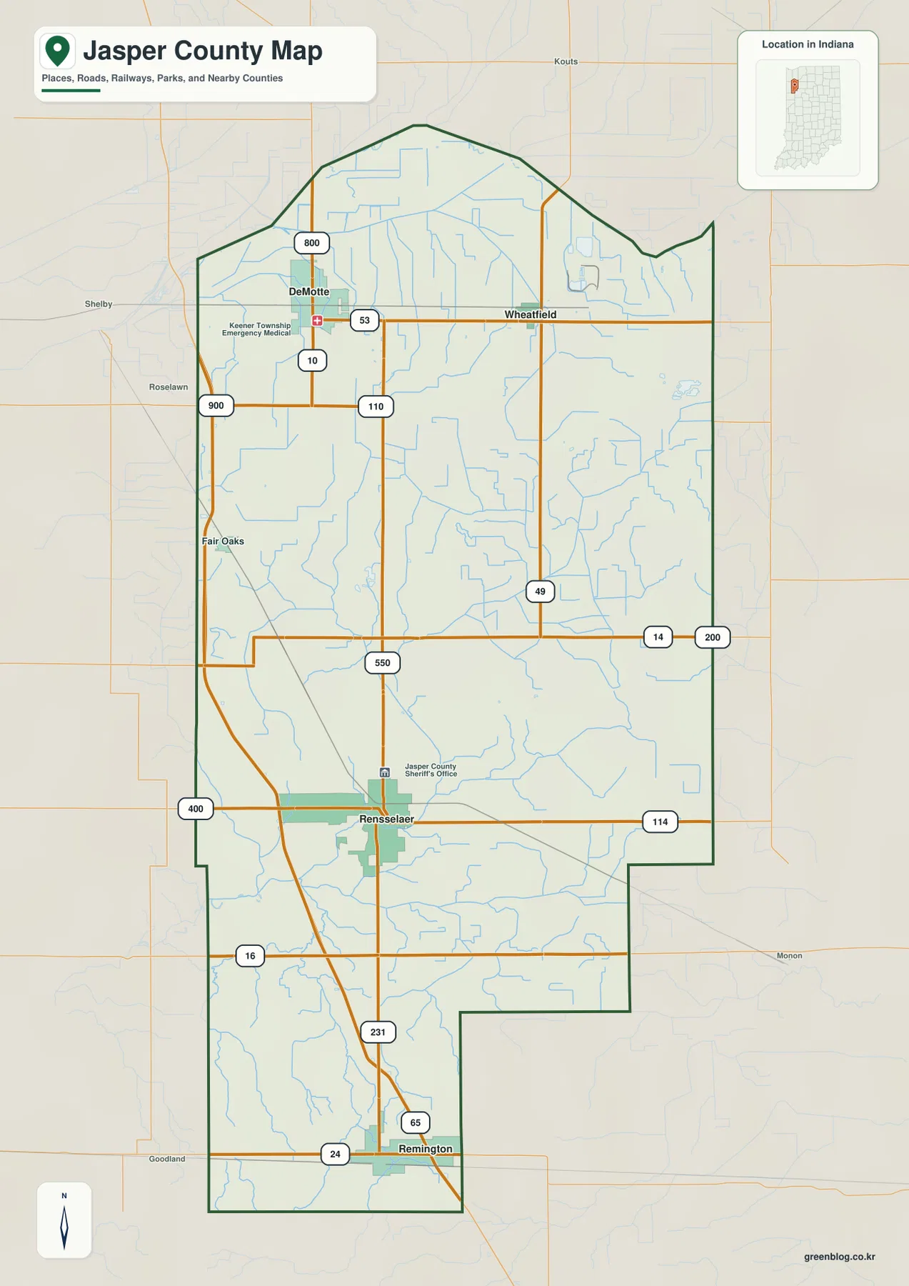
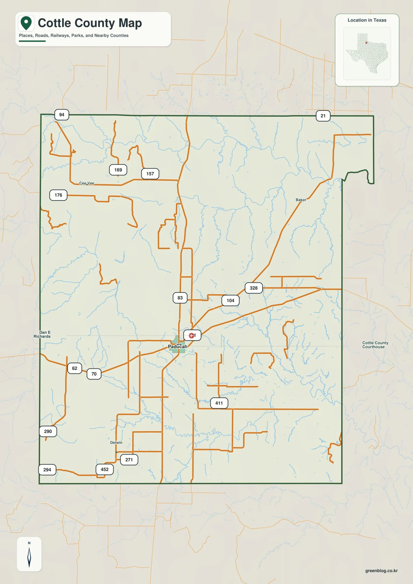
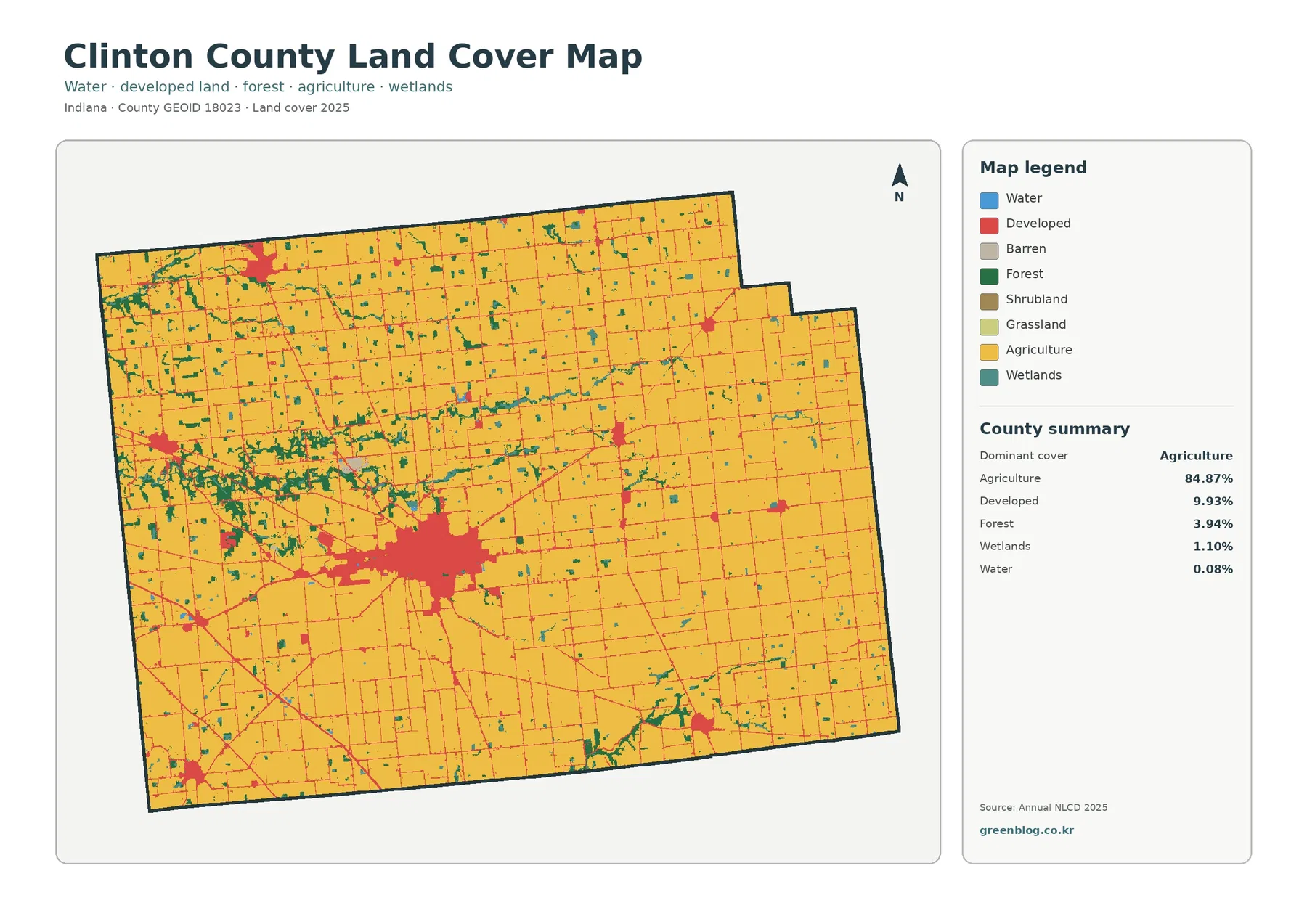
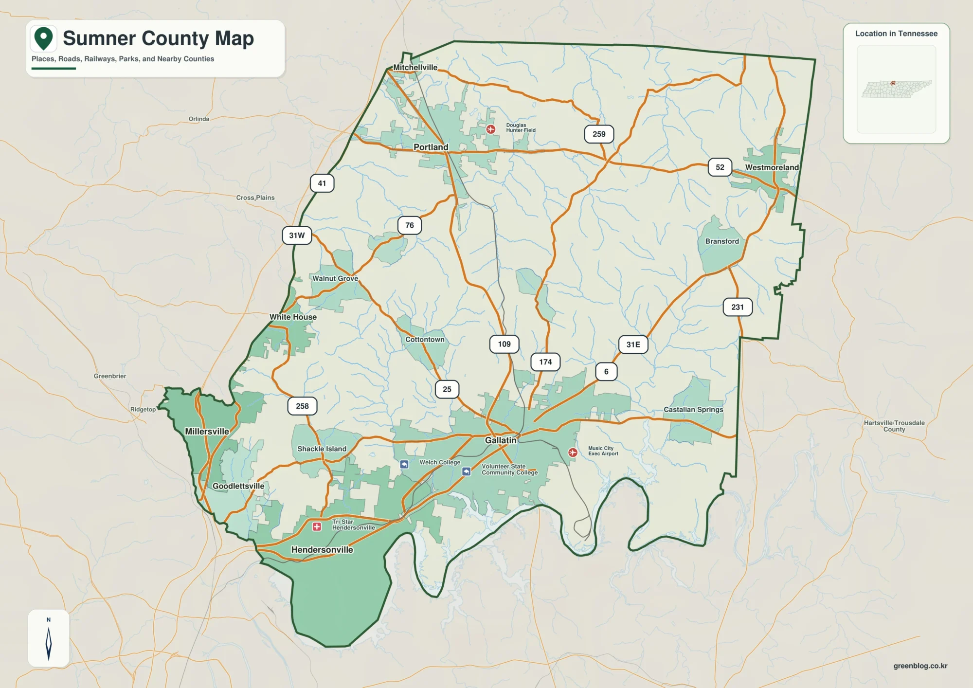
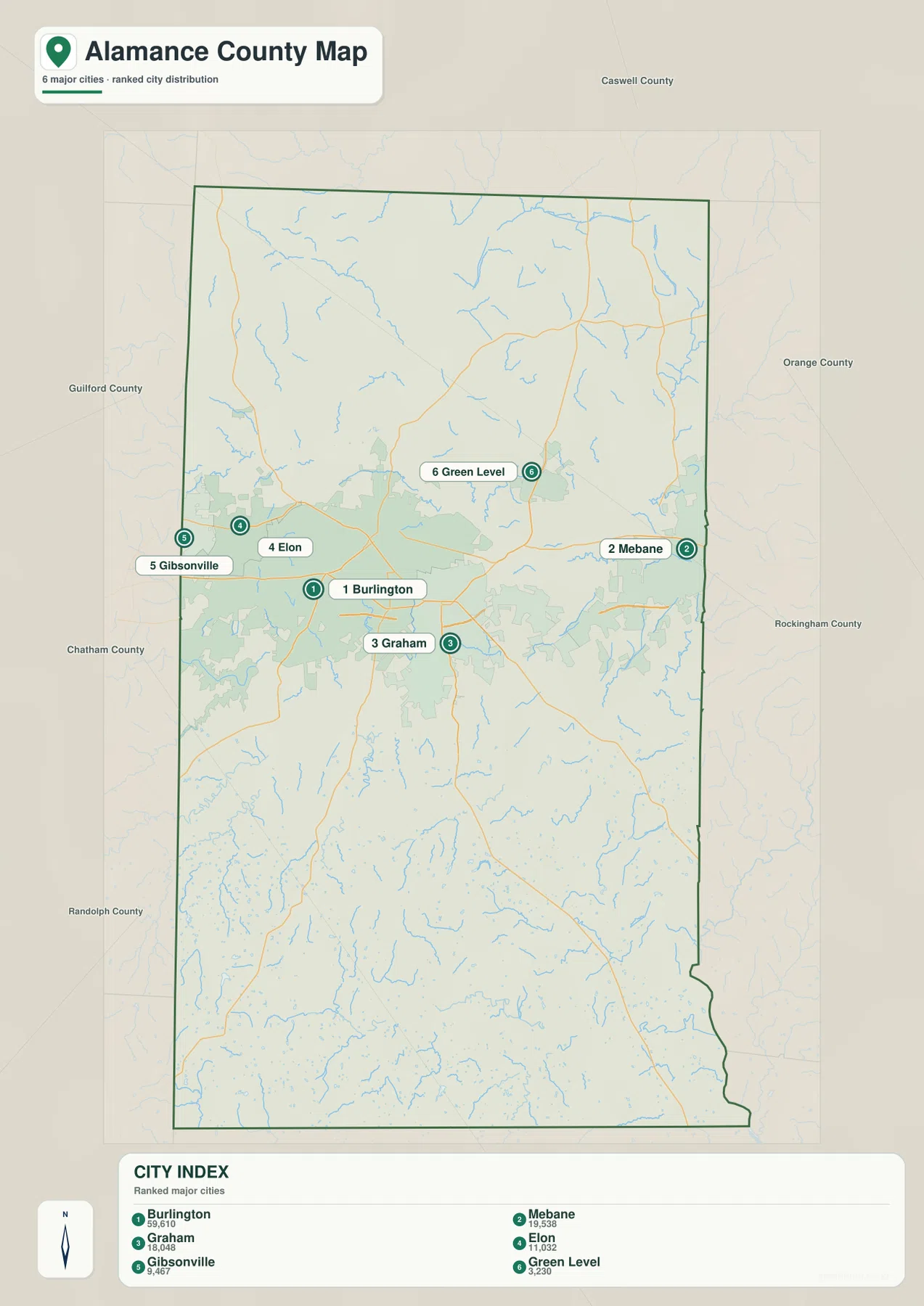
Alamance County sits in north-central North Carolina’s Piedmont, between Guilford County on the west and Orange County on the east. The middle of the county is easy to recognize because Burlington and Graham sit close together, with Elon to the west and the town of Haw River and Mebane farther east. This Alamance County Map page brings together a general county map, a ranked city map, and a terrain-and-water map so those relationships can be seen without switching between unrelated sources.
Each map is available as a web preview below, and the download box near the end of the article provides an A3 high-resolution JPG archive containing all three map files. These are reference maps rather than turn-by-turn navigation maps. They are most useful for checking the county boundary, comparing the positions of communities, following numbered highways across the county, and locating rivers, reservoirs, and smaller creeks for print, classroom, presentation, or regional-reference work.
Graham is the county seat, but it is not the only place that matters when reading the map. Burlington is the largest city shown in the city index and forms the strongest urban reference in the center, while Mebane sits near the eastern side and Gibsonville appears at the western edge. The water map shifts attention away from city labels and toward Haw River, Lake Mackintosh, Stony Creek Reservoir, Quaker Creek Reservoir, and a network of smaller streams. Reading the three views together gives a much more complete picture of the county than a single boundary outline would.
Table of Contents
A Piedmont county with a concentrated central corridor
Alamance County was created from Orange County in 1849, and Graham became its county seat. NCpedia places the county in the Piedmont and lists Caswell County to the north, Guilford County to the west, Orange County to the east, and Chatham and Randolph counties along the southern side. Those neighboring counties are useful orientation points because Alamance is relatively narrow from east to west compared with its north-south reach, making the central string of towns especially noticeable on the map.
| Reference | Alamance County |
|---|---|
| County seat | Graham |
| North Carolina region | Piedmont |
| 2025 population estimate | 186,177 |
| Land area | About 423.94 square miles |
| Neighboring counties | Caswell, Orange, Chatham, Randolph, Guilford |
| River basin | Cape Fear River basin |
The U.S. Census Bureau’s 2025 estimate of 186,177 residents is higher than the 2020 census count of 171,415. The map does not show population density directly, but the arrangement of incorporated places helps explain where much of the county’s urban activity is concentrated. Burlington ranks first among the six places highlighted in the city map, followed by Mebane and Graham. Elon, Gibsonville, and Green Level round out the displayed list, giving a useful west-to-east comparison across the populated center and the county edges.
Roads that make the county center easy to orient
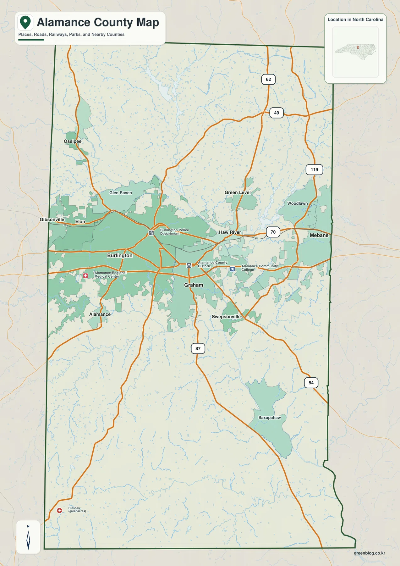
US 70 is the clearest east-west route on the general county map. It passes through the central band of communities, linking the Burlington area with Haw River and Mebane. Starting with that road makes it easy to see why the middle of the county feels much more urban than the northern and southern sections. Graham sits just south of this central line, while Elon and Gibsonville lie to the west and Mebane approaches the eastern county line.
Several North Carolina routes help establish direction beyond the center. NC 87 runs south from the Graham area, NC 54 angles toward the southeast, and NC 49 and NC 62 are labeled in the northern part of the county. NC 119 appears on the eastern side above Mebane. These route numbers are especially useful when the map is printed because they provide orientation even when smaller street names are not shown. The map is not designed to replace a road atlas or navigation service, but it clearly shows how major routes spread away from Burlington and Graham.
The general map also labels smaller communities such as Ossipee, Glen Raven, Swepsonville, and Saxapahaw. That gives the page a more local feel than a map that includes only the county seat and largest city. Several of those names also connect to the county’s history along Haw River and its tributaries. NCpedia describes the growth of nineteenth-century textile communities at places including Haw River, Ossipee, Saxapahaw, and Graham, so the present-day place labels can be read alongside the river system rather than as an isolated list of towns.
Haw River, reservoirs, and smaller creeks
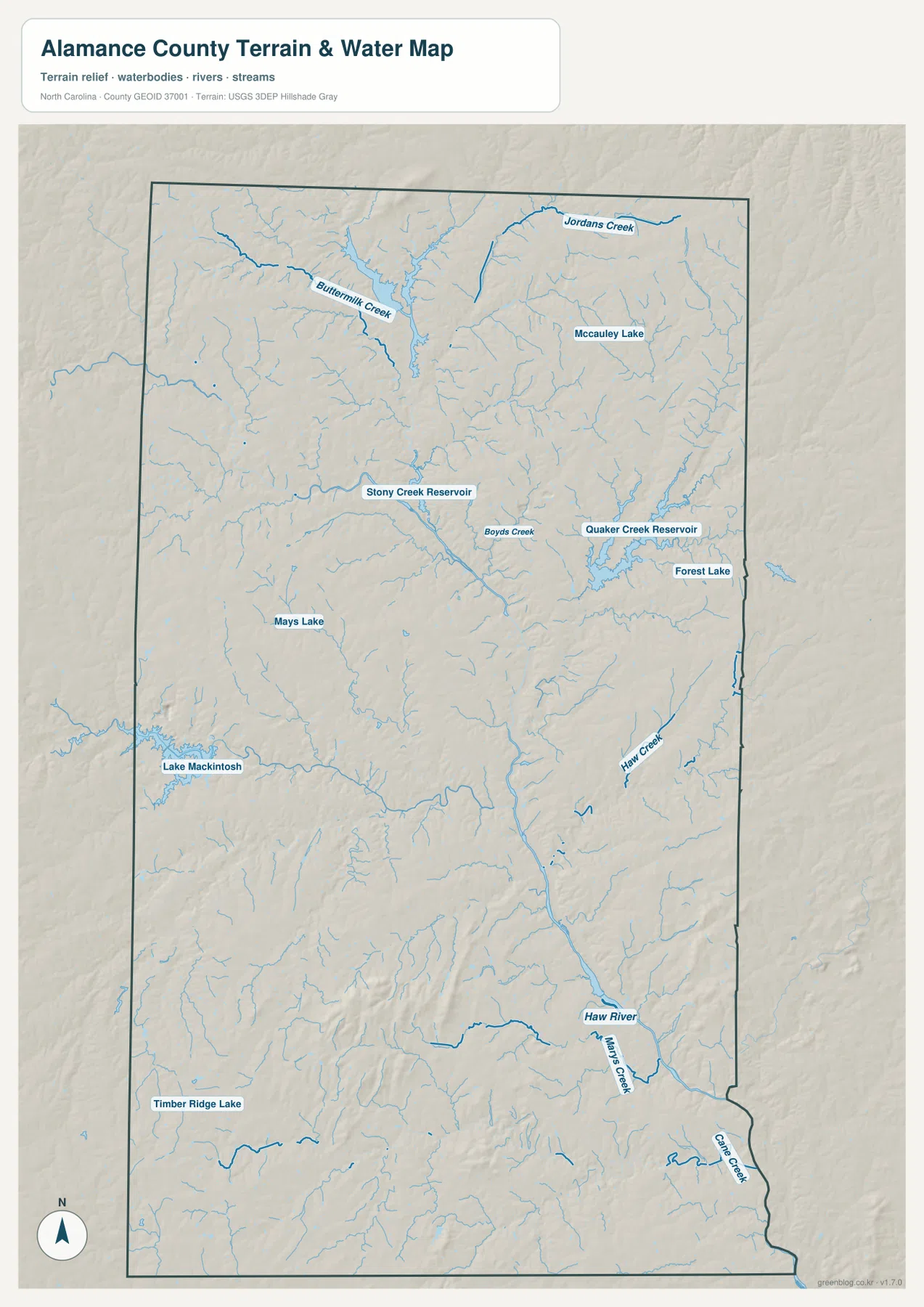
Haw River is the most important water name to recognize in Alamance County, but there is a useful detail that can cause confusion: Haw River is also the name of a town. On the general map, the settlement label appears in the central-eastern part of the county. On the terrain-and-water map, the river itself is shown as a continuous blue watercourse. Using both maps makes it much easier to tell whether a reference is describing the community or the physical river.
The county’s water network is much broader than one river. Lake Mackintosh stands out on the west-central side, while Stony Creek Reservoir and Quaker Creek Reservoir appear farther north. Forest Lake is labeled near Quaker Creek Reservoir, and McCauley Lake is shown in the northern section. Mays Lake and Timber Ridge Lake add smaller reference points on the western and southwestern sides. The spread of these lakes and reservoirs shows why a dedicated water map is more informative than trying to squeeze every feature onto the road-focused county map.
Named creeks add another layer of detail. Buttermilk Creek appears in the northwest, Jordans Creek near the northern edge, and Boyds Creek through the central-northern area. Haw Creek is labeled farther east, while Marys Creek and Cane Creek appear in the southeast. NCpedia identifies Alamance County as part of the Cape Fear River basin and names Haw River and Great Alamance Creek among its important physical features. The blue stream network on the map helps connect that broader basin description to recognizable places inside the county.
Rolling Piedmont relief beyond the urban belt
Alamance County is not a mountain county, but it is not uniformly flat either. The shaded relief behind the water network shows the gentle hills and shallow valleys typical of the Piedmont. The southern and southwestern portions display more visible ridges and drainage cuts than the broad central urban belt. This difference is subtle compared with western North Carolina, yet it is enough to explain why small streams branch repeatedly through the county instead of crossing a completely level surface.
The relief is most useful as context rather than as a source of precise elevation readings. The map does not provide contour intervals or spot heights, so it should not be used for hiking-grade elevation planning. Its value is in showing how reservoirs and creeks sit within a rolling landscape. When a water feature follows a shallow valley or a reservoir occupies a wider low area, the hillshade gives that shape a clearer visual explanation.
The North Carolina Gazetteer lists Graham at an elevation of about 656 feet. That single figure does not represent the whole county, but it is consistent with Alamance County’s Piedmont setting rather than a high mountain environment. For presentations or educational material, placing the city map beside the terrain-and-water map is an effective way to show that the county’s urban center occupies only part of a larger landscape of low ridges, creeks, reservoirs, and rural areas.
What to watch for near the county boundary
Two of the city labels are especially useful for understanding the county edges. Gibsonville appears at the western side next to Guilford County, while Mebane sits near the eastern boundary with Orange County. When using the map for county-specific research, it is important to check the dark county outline before assuming that every nearby road, neighborhood, or municipal area falls entirely inside Alamance County. A neighboring county map can provide the second half of the picture when the area of interest sits close to a boundary.
The same caution applies in the north and south, where the settlement pattern becomes less dense. Green Level and Woodlawn are separated from the Burlington-Graham core, and Swepsonville and Saxapahaw provide southern reference points. This makes the map useful for more than locating the county seat. It shows a concentrated middle section surrounded by smaller communities, water features, and a much larger rural area that would be easy to overlook on a city-only map.
Choosing the best map for the job
Use the general county map when the boundary, numbered roads, and a wider selection of place names need to appear together. It is the strongest option for explaining how Burlington, Graham, Haw River, Mebane, and outlying communities fit inside the county. The city map is better when the goal is a cleaner comparison of the major places without the visual weight of every watercourse and road. Its ranked labels make Burlington’s leading size and the east-west distribution of the six displayed communities immediately clear.
The terrain-and-water map is the better choice for Haw River, Lake Mackintosh, reservoirs, named creeks, and the rolling Piedmont background. It can support a geography lesson, watershed discussion, regional planning presentation, or any project that needs natural features without the distraction of a dense street network. None of the three maps is meant to show parcels, property ownership, zoning, or legal access; those questions require specialized local records.
The previews on this page are optimized for on-screen viewing. For printing or editing, use the high-resolution JPG files in the ZIP below. The archive name includes both Alamance County and North Carolina, which makes it easier to keep county downloads organized when several states or counties are stored in the same folder.
Frequently Asked Questions
What is the difference between Burlington and Graham on the map?
Graham is the county seat, so it is the administrative reference for Alamance County. Burlington is the largest city shown in the city index and forms the strongest urban reference in the central part of the map. Because the two places are close together, it helps to keep their roles separate: use Graham for county-seat context and Burlington when describing the larger urban cluster.
Does Haw River refer to the river or to a town?
Both. Haw River is the name of a major river in the county, and Haw River is also a town shown east of Burlington. The general map emphasizes the settlement label, while the terrain-and-water map makes the river course easier to follow. Looking at the two maps together prevents the place name from being confused with the water feature.
What files are included in the download ZIP?
The ZIP includes a general Alamance County map with major roads and communities, a city map focused on the six ranked places shown in the index, and a terrain-and-water map highlighting Haw River, reservoirs, named creeks, and shaded relief. Each file is provided as a high-resolution JPG suitable for larger printing or editing, and the archive filename includes both the county and state name.
Map File Information
The ZIP contains the Alamance County general map, city map, and terrain-and-water map as high-resolution A3 JPG files.
- Included Files: county map JPG, city map JPG, terrain-and-water map JPG
Related Maps
- Alexander County North Carolina map
- Alleghany County North Carolina map
- Anson County North Carolina map
Sources and References
- Alamance County Government – official county information
- NCpedia: Alamance County – county formation, geography, neighboring counties, and physical features
- U.S. Census Bureau QuickFacts – 2025 population estimate
- U.S. Census Bureau TIGER/Line Shapefiles – boundary and road data
- USGS National Hydrography – rivers, streams, and water features
- USGS 3D Elevation Program – terrain and elevation background
Green Map creates custom-edited map images using open geographic data sources such as geoBoundaries, Natural Earth, OpenStreetMap, and government open data.
These maps are edited visual materials, not raw data files, and are provided for education, documents, presentations, and graphic reference.