
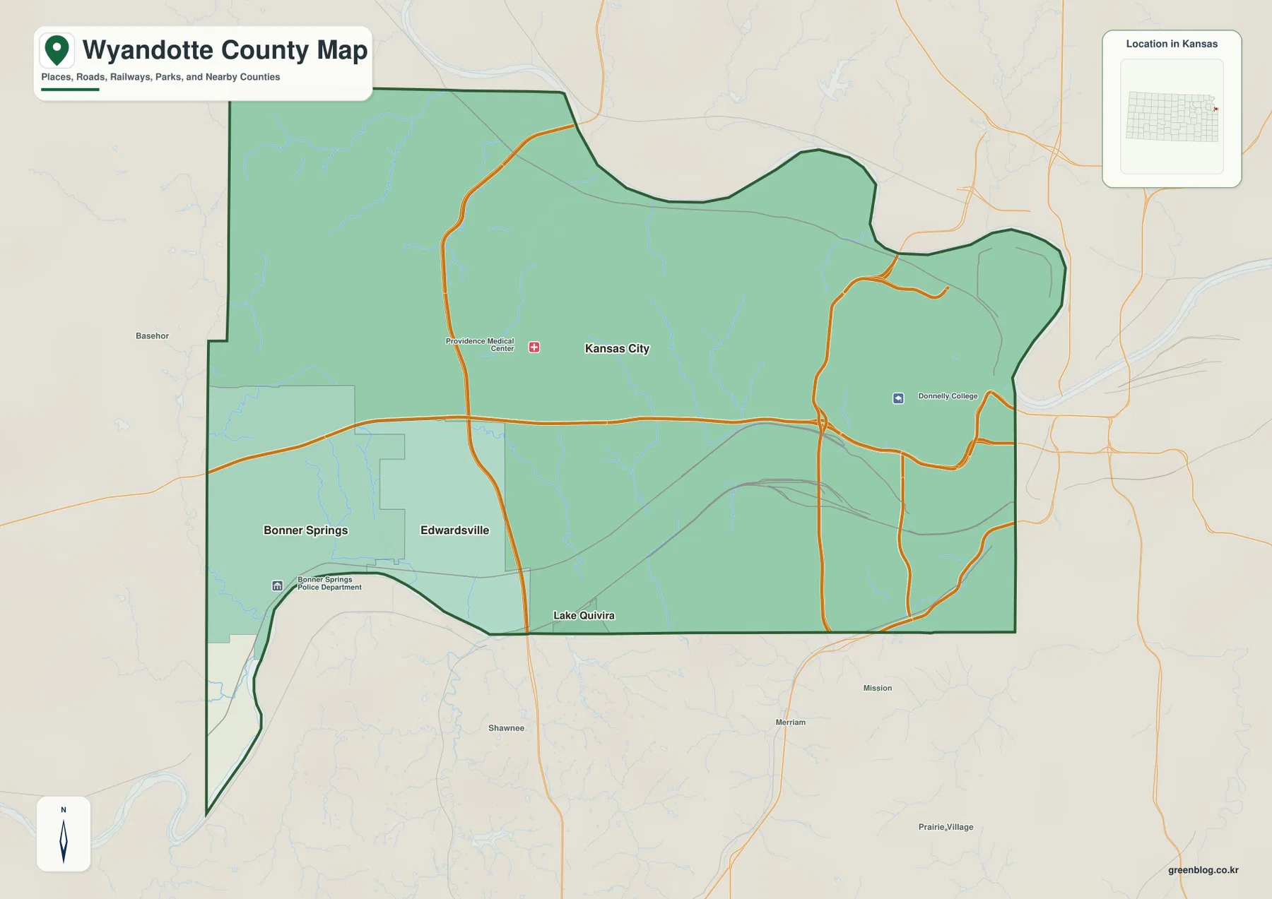
Wyandotte County Map — Kansas City between the Missouri and Kansas Rivers, from Kaw Point to County Lake
Wyandotte County sits at the eastern edge of Kansas, where Kansas City forms the dominant urban center and Bonner Springs,
Wyandotte County sits at the eastern edge of Kansas, where Kansas City forms the dominant urban center and Bonner Springs,
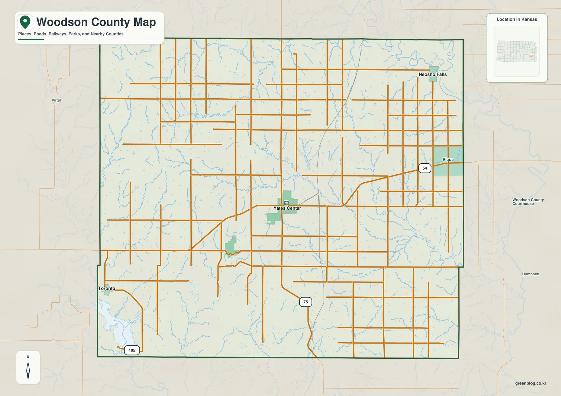
Woodson County lies in southeastern Kansas, where Yates Center serves as the county seat and the main road reference within
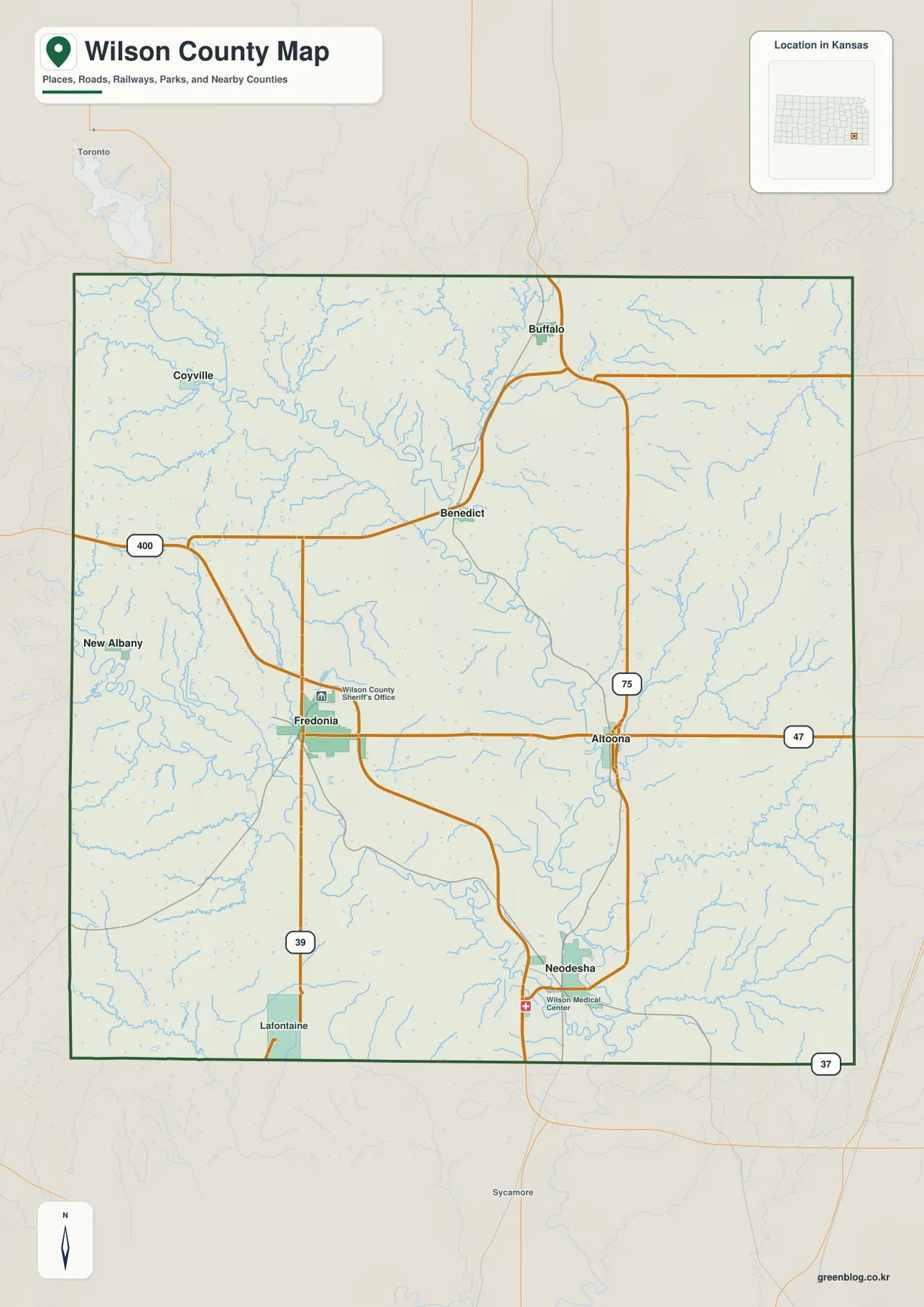
Wilson County lies in southeastern Kansas, where Fredonia serves as the county seat and Neodesha forms the largest city index
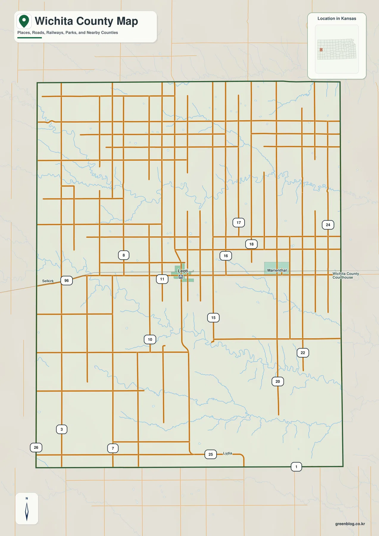
Wichita County lies in western Kansas, where Leoti forms the clear administrative and transportation center within a broad High Plains
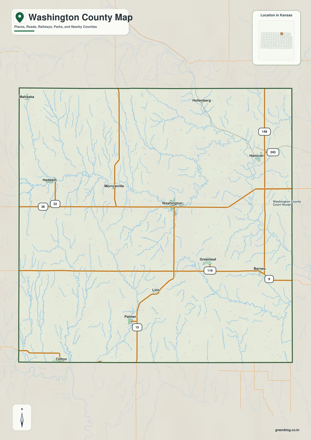
Washington County lies along the Nebraska border in north-central Kansas, with the city of Washington serving as the county seat
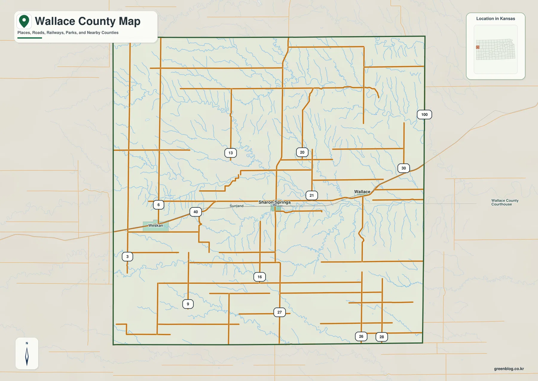
Wallace County occupies the far western edge of Kansas, where Sharon Springs serves as the county seat and US 40
Wallace County Map from Sharon Springs to Mount Sunflower — Smoky Hill River High Plains Read More »
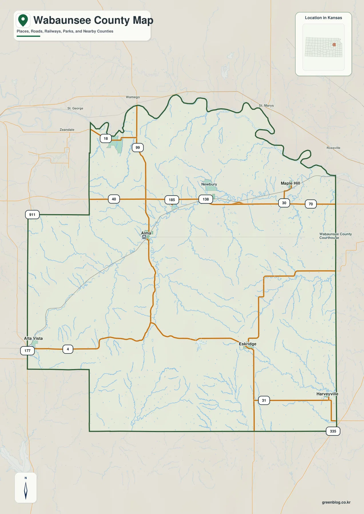
Wabaunsee County sits in northeastern Kansas, where small communities are separated by deeply cut Flint Hills terrain rather than one
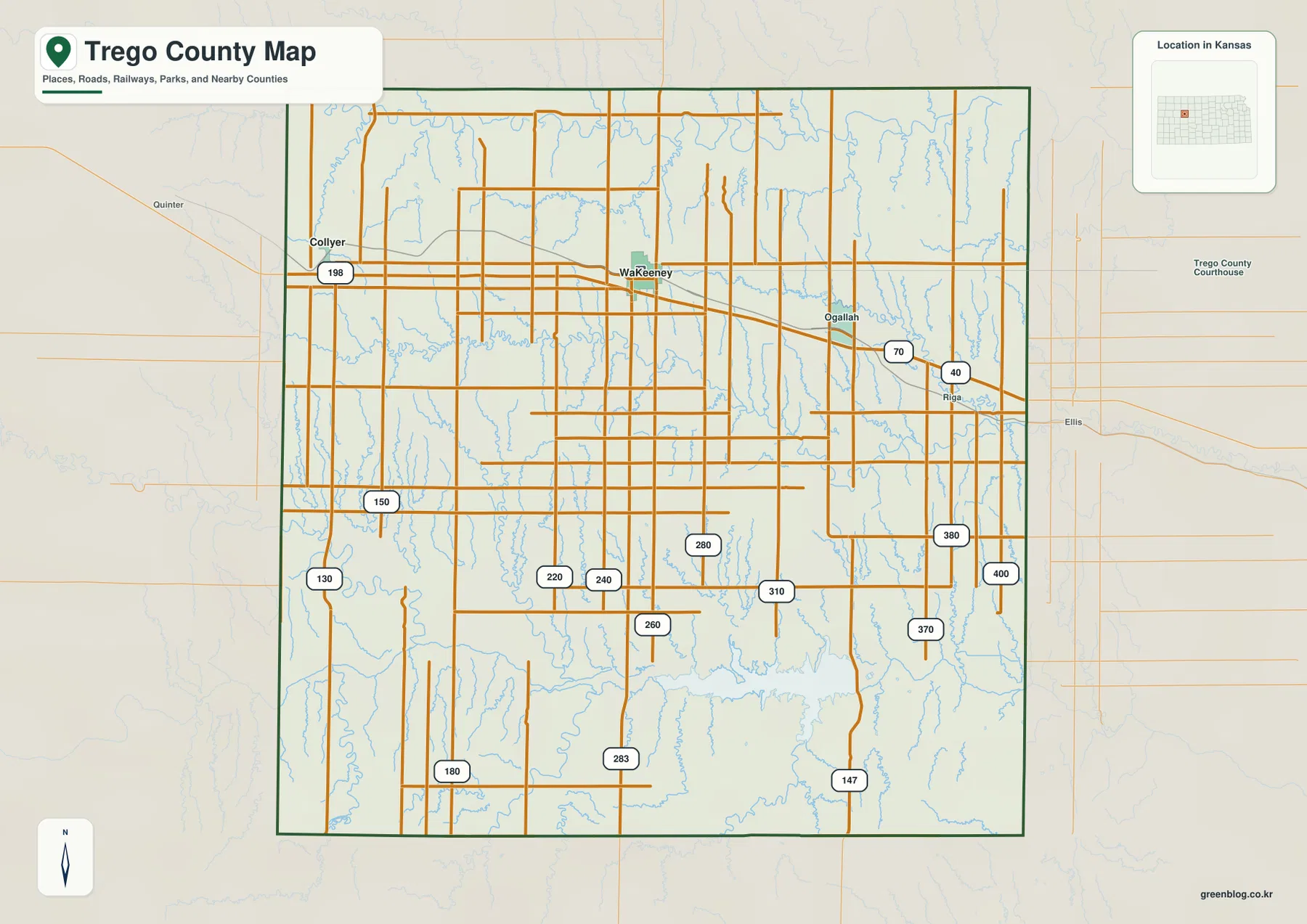
Trego County in northwestern Kansas is centered on WaKeeney, with Collyer and Ogallah providing smaller references along the I-70 and
Trego County Map — WaKeeney, Cedar Bluff Reservoir, and Smoky Hill River Valleys Read More »
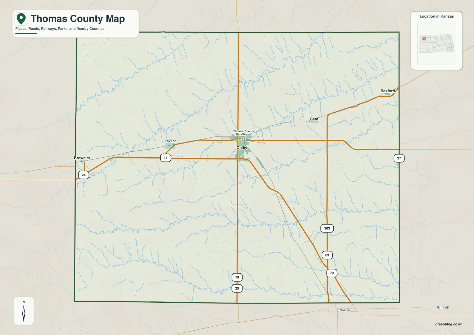
Thomas County lies in northwestern Kansas, where Colby serves as the county seat and the clearest transportation center on a