
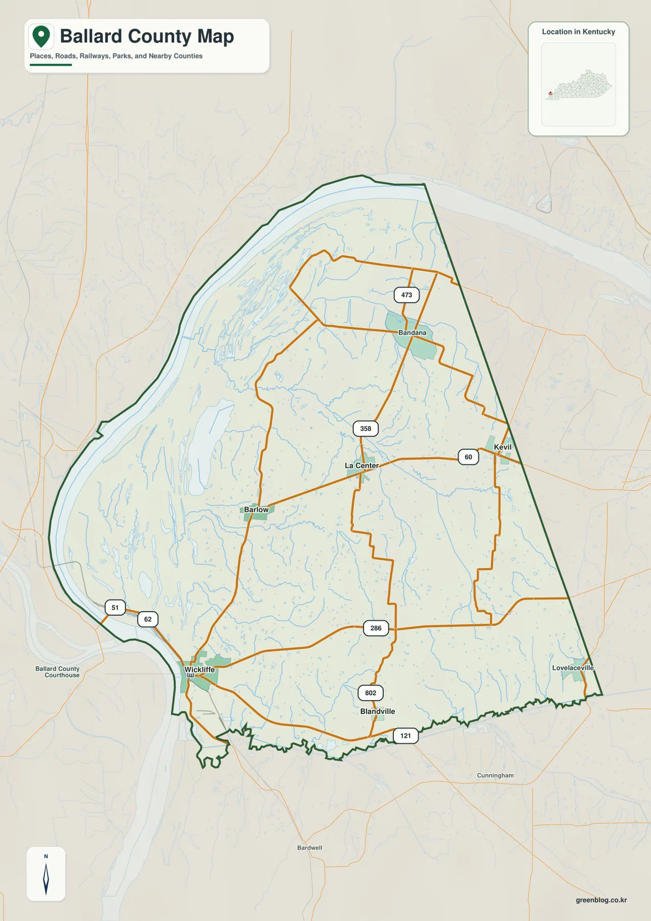
Ballard County Map — Wickliffe at the Ohio–Mississippi Confluence, River Wetlands and Bluffs
Ballard County occupies Kentucky’s far western corner, where Wickliffe serves as the county seat and a group of small communities
Ballard County occupies Kentucky’s far western corner, where Wickliffe serves as the county seat and a group of small communities
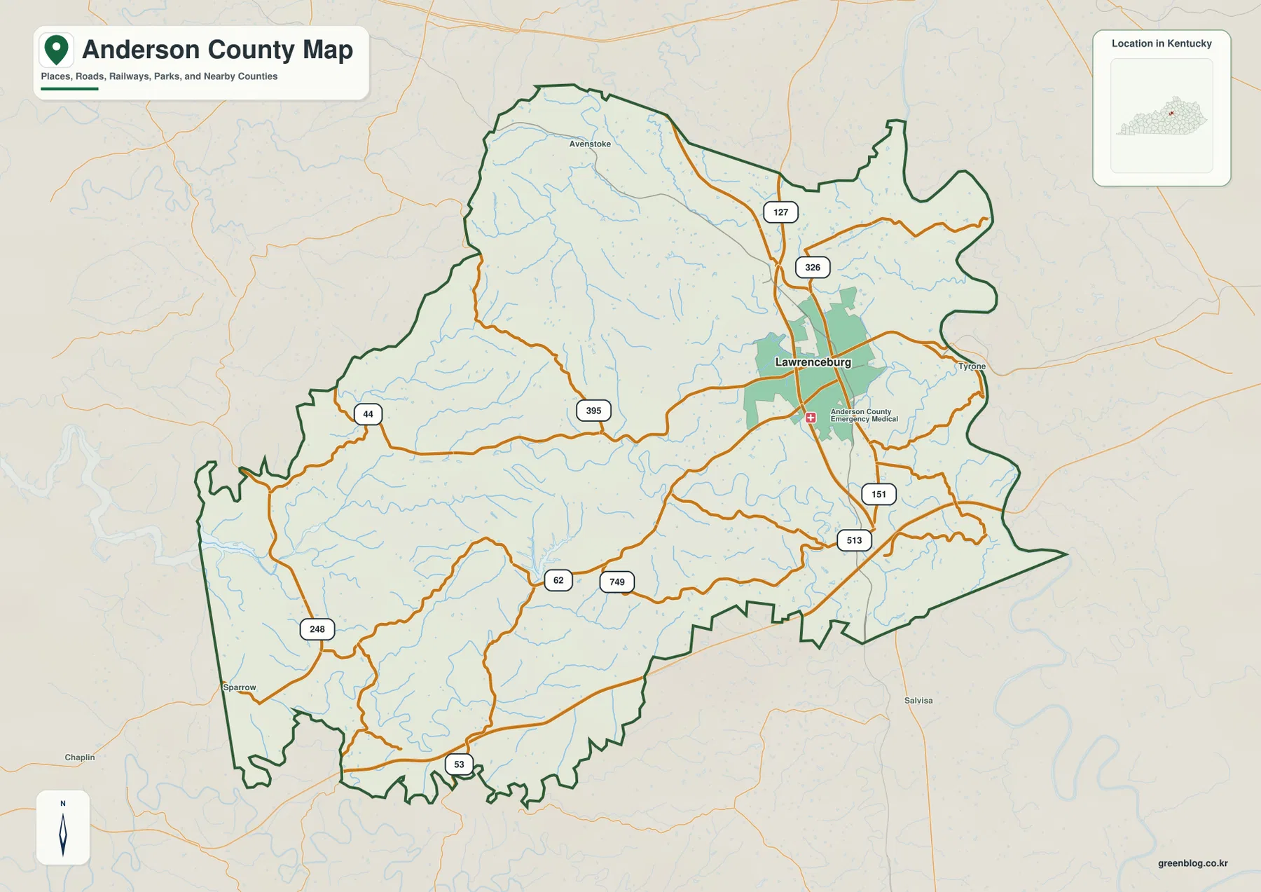
Anderson County lies in central Kentucky, where Lawrenceburg serves as the county seat and the main urban reference in a
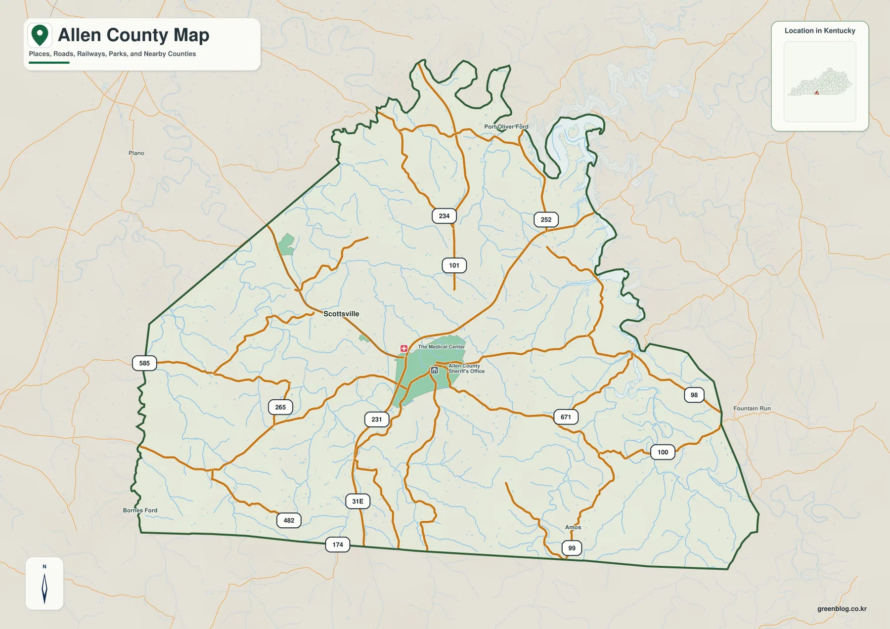
Allen County lies in south-central Kentucky, with Scottsville serving as the county seat and the clearest road reference in a
Allen County Kentucky Map — Scottsville, Barren River Lake, and the Trammel Fork Valleys Read More »
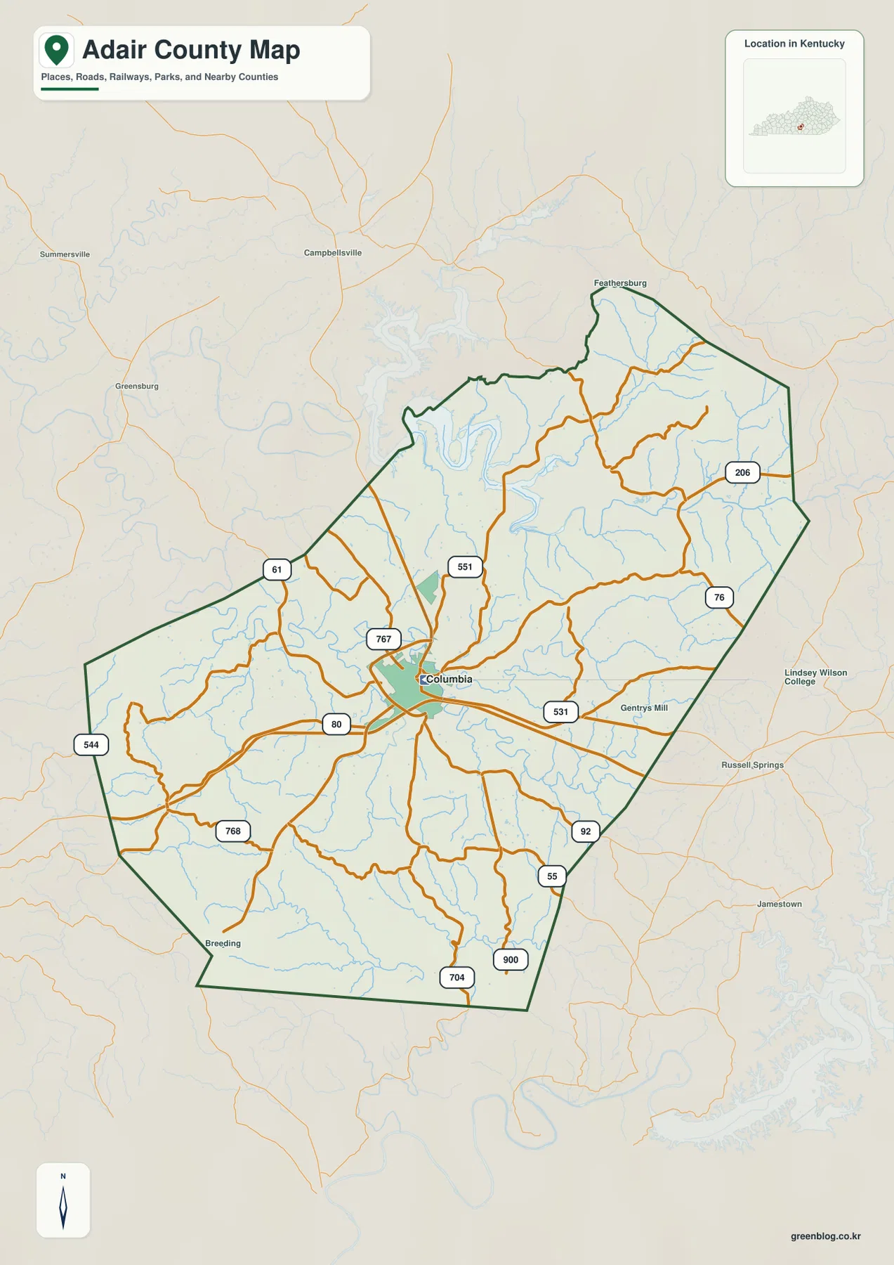
Adair County lies in south-central Kentucky, where Columbia serves as the county seat and the main road reference within a
Adair County Kentucky Map — Columbia, Green River Lake, and Russell Creek Hill Country Read More »
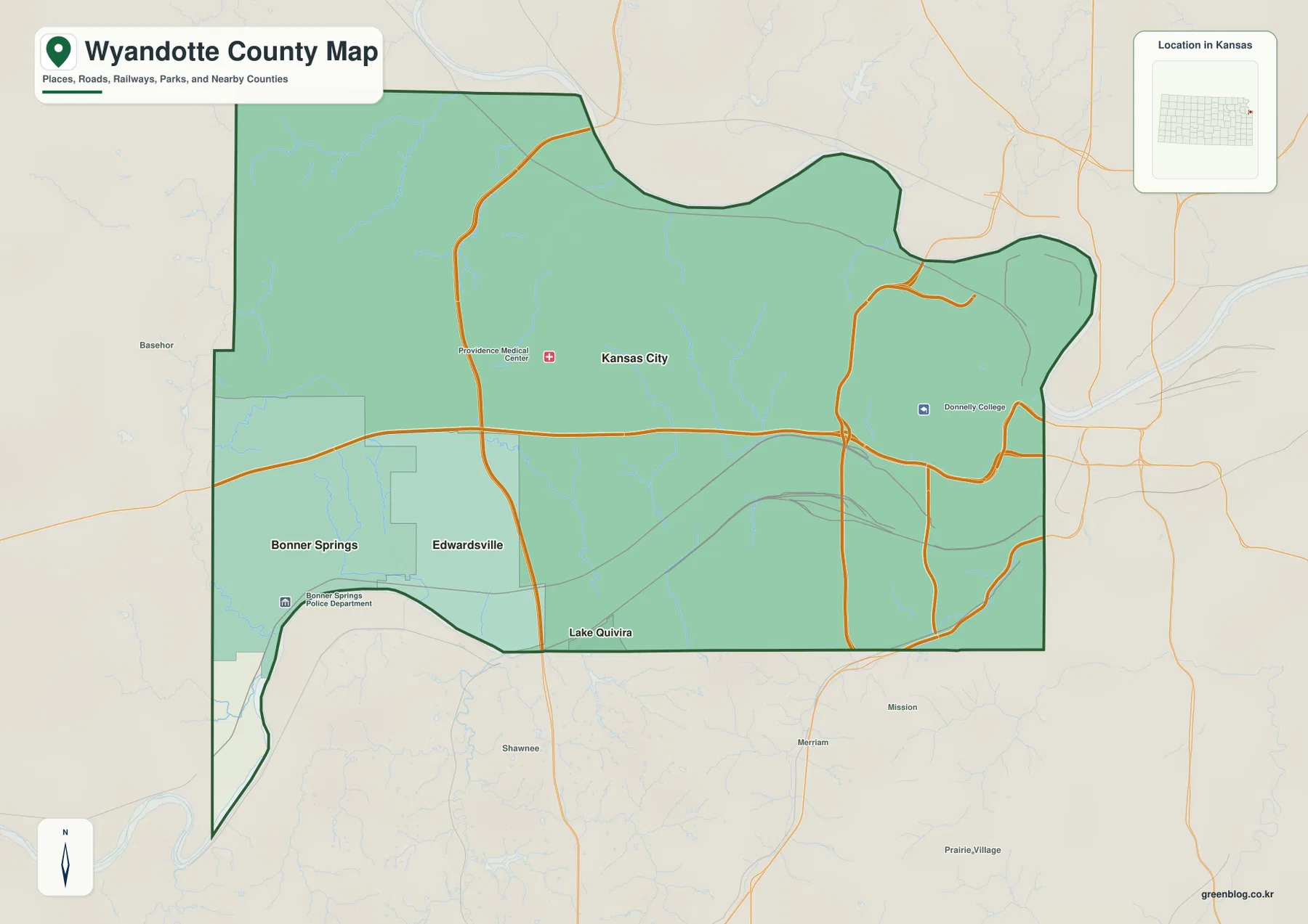
Wyandotte County sits at the eastern edge of Kansas, where Kansas City forms the dominant urban center and Bonner Springs,
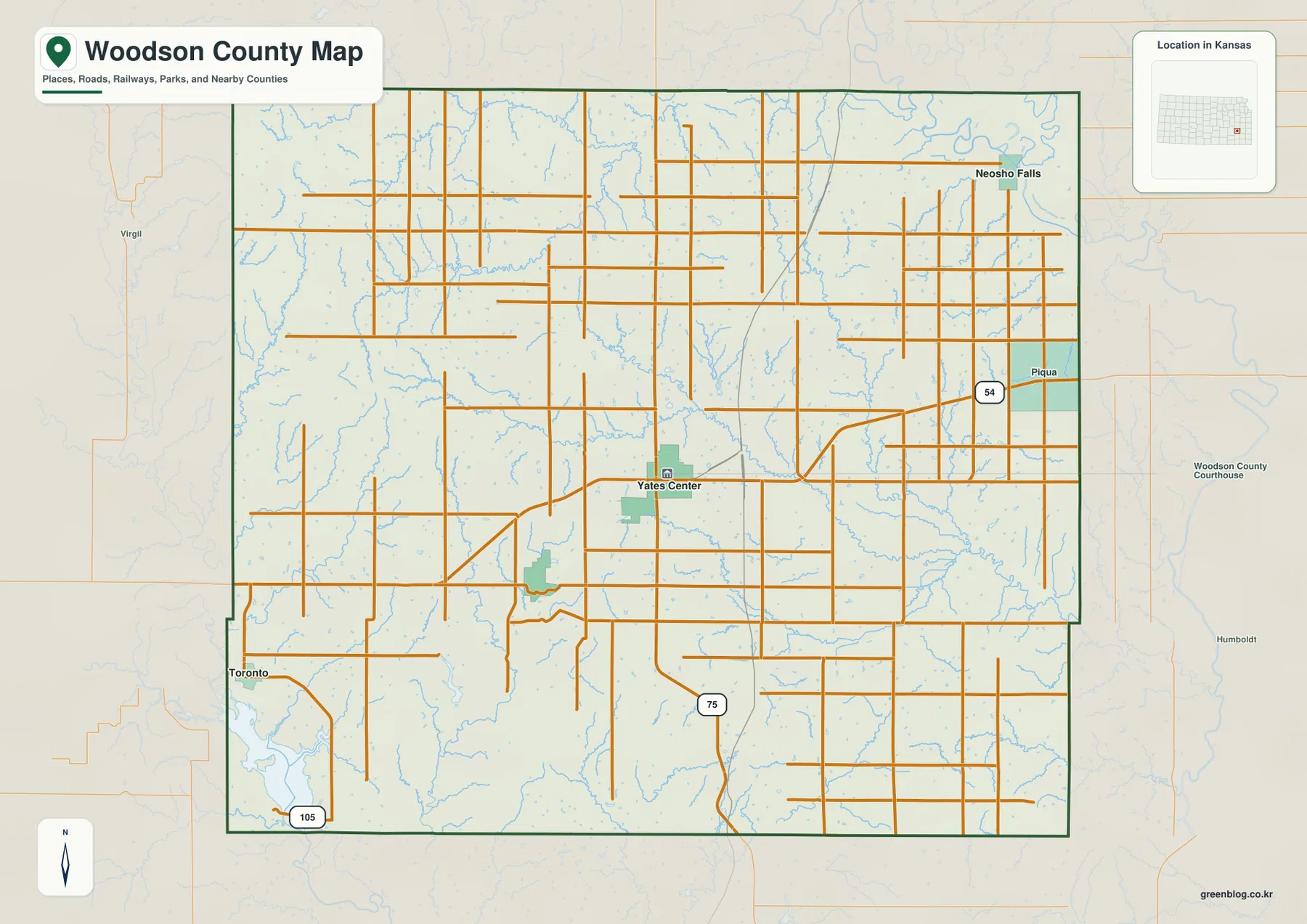
Woodson County lies in southeastern Kansas, where Yates Center serves as the county seat and the main road reference within
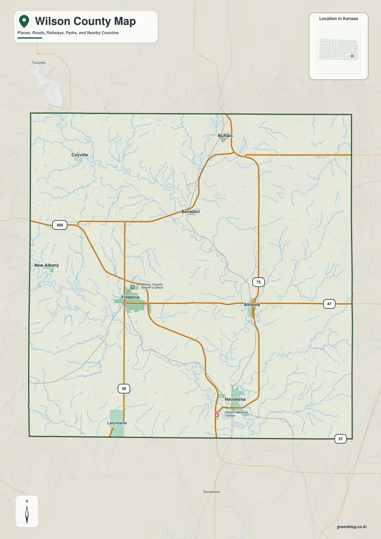
Wilson County lies in southeastern Kansas, where Fredonia serves as the county seat and Neodesha forms the largest city index
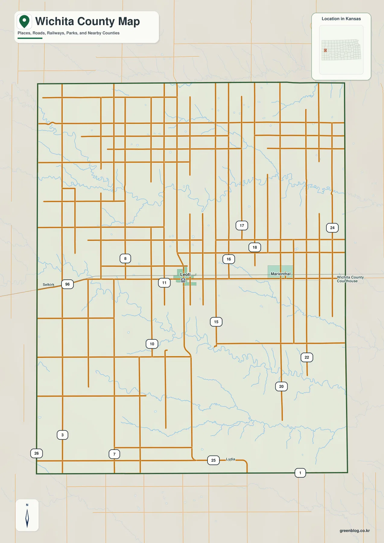
Wichita County lies in western Kansas, where Leoti forms the clear administrative and transportation center within a broad High Plains
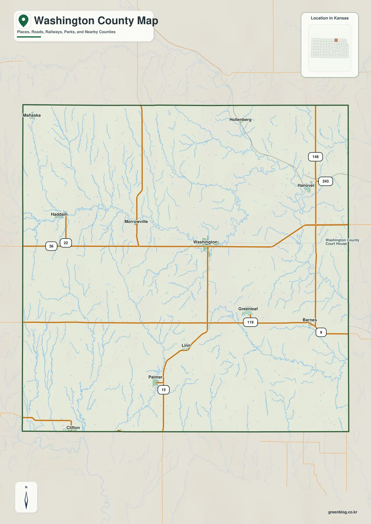
Washington County lies along the Nebraska border in north-central Kansas, with the city of Washington serving as the county seat