
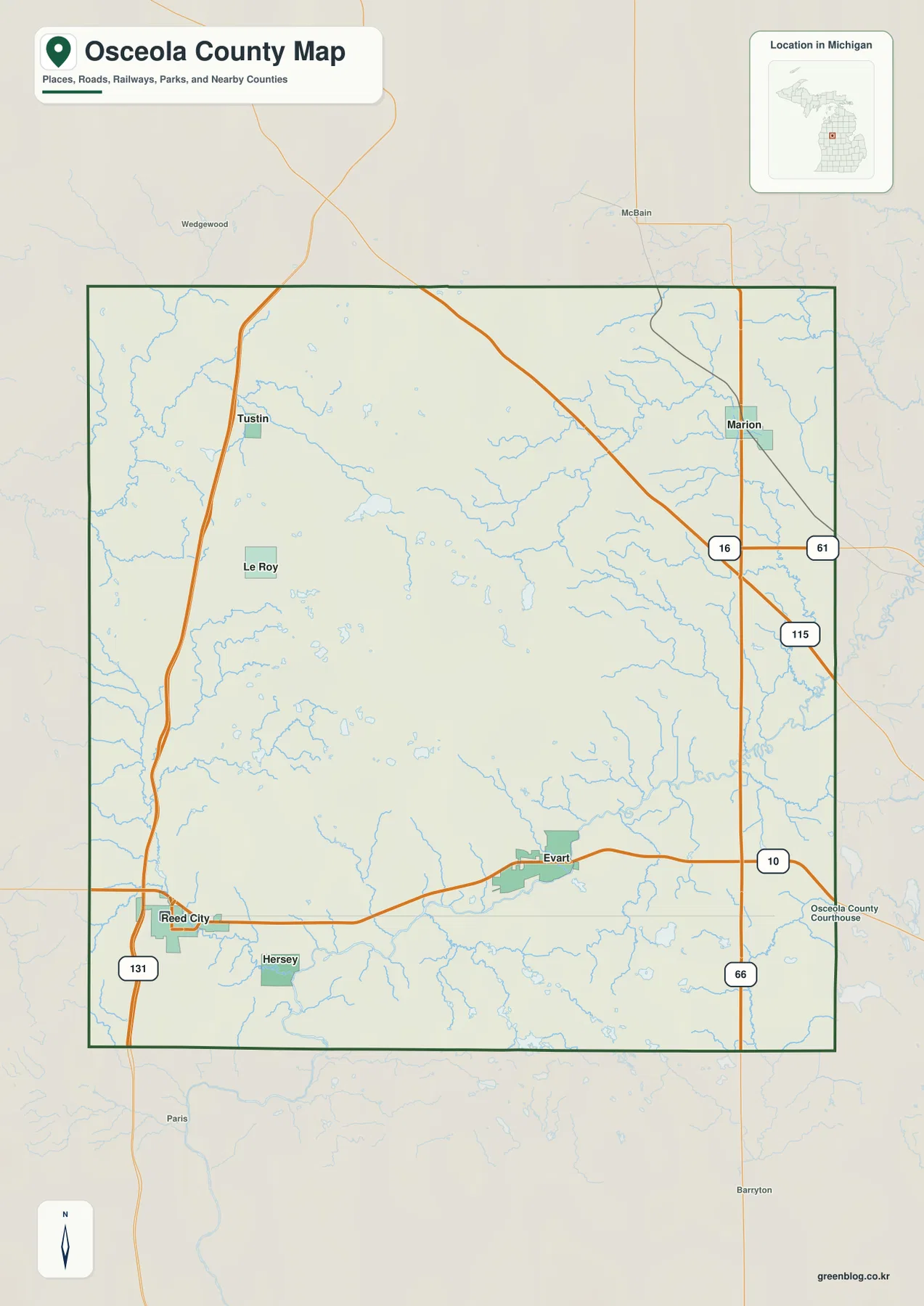
Reed City and Evart Anchor the Osceola County Michigan Map: Rivers, Lakes, and High Ground
Osceola County lies in the west-central part of Michigan’s Lower Peninsula, where Reed City and Evart form a recognizable southern
Osceola County lies in the west-central part of Michigan’s Lower Peninsula, where Reed City and Evart form a recognizable southern
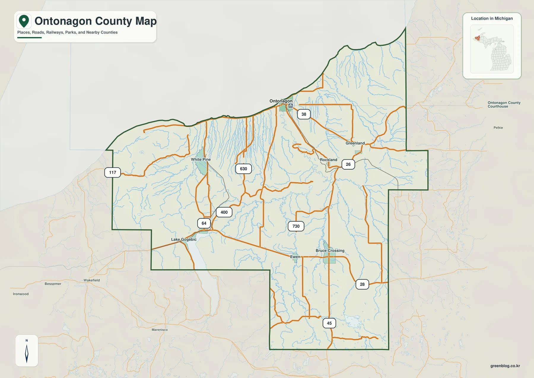
Ontonagon County occupies a broad piece of Michigan’s western Upper Peninsula where the Lake Superior shoreline, the Porcupine Mountains, long
Where Lake Superior Meets the Porcupine Mountains | Ontonagon County Map Read More »
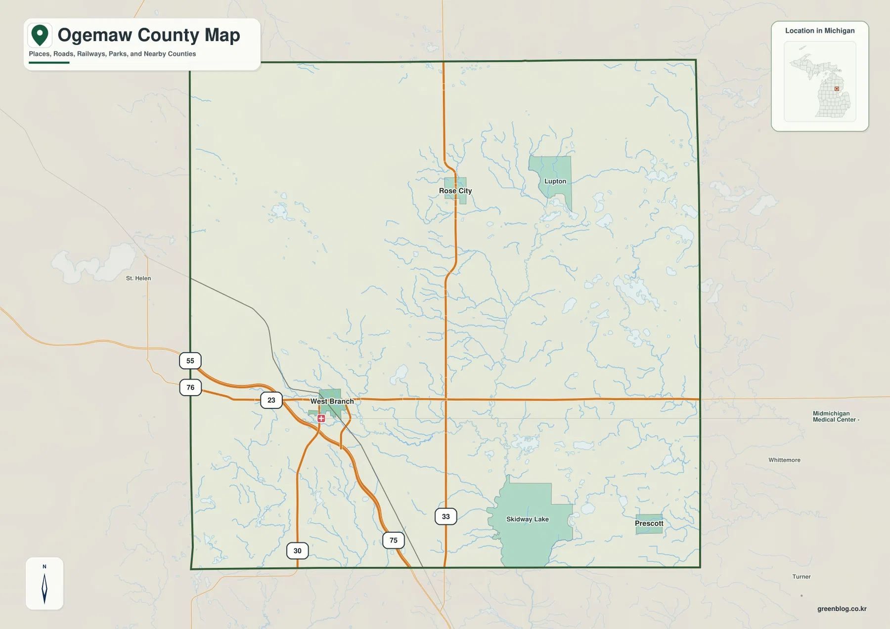
Ogemaw County occupies a quiet part of northeastern Michigan’s Lower Peninsula where settlement, roads, lakes, and wooded uplands are spread
Roads, Rivers, and Relief on the Ogemaw County Map Read More »
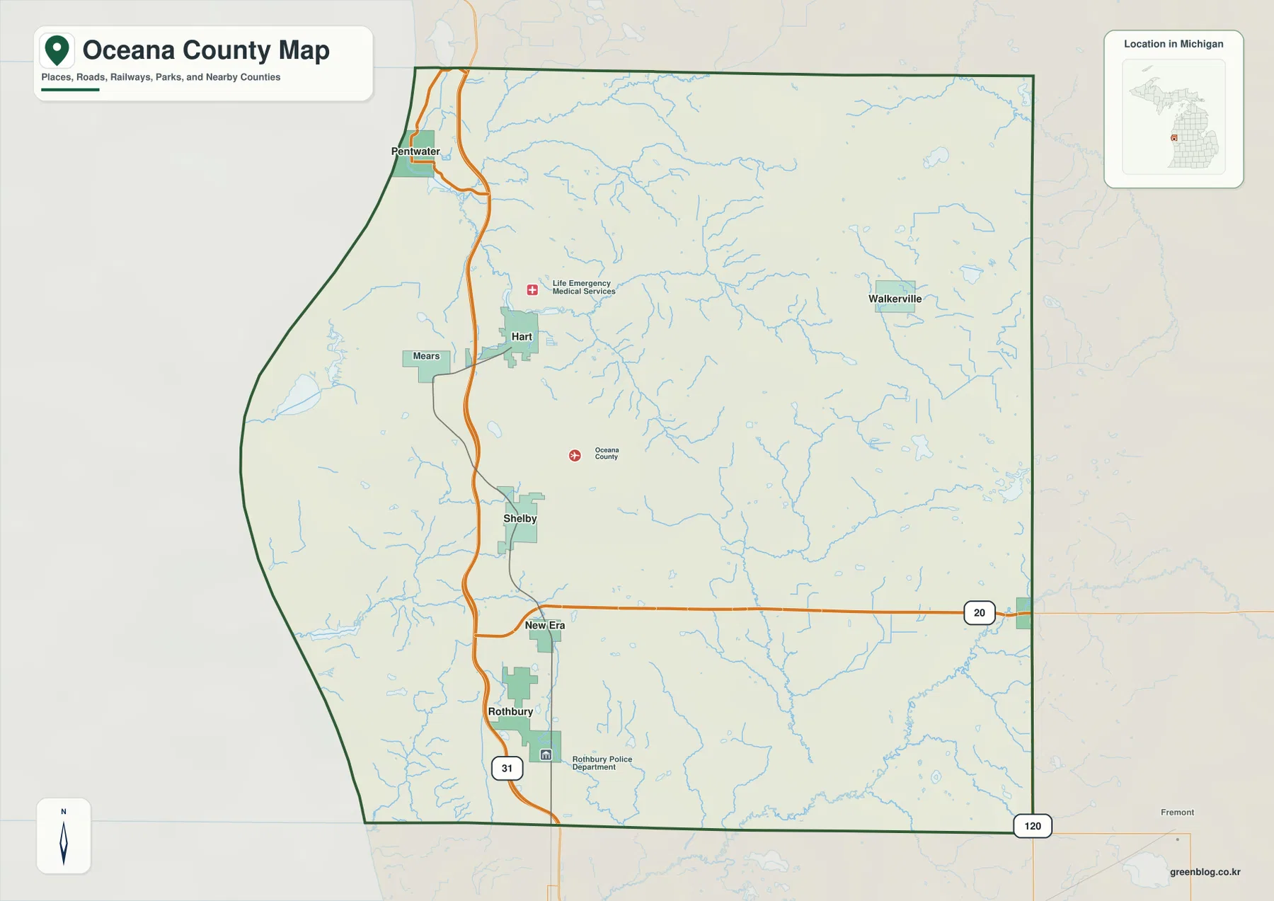
Oceana County occupies a distinctive strip of western Michigan where Lake Michigan, coastal lakes, inland towns, river valleys, and higher
Lake Michigan Shore and Inland Ridges on the Oceana County Map Read More »
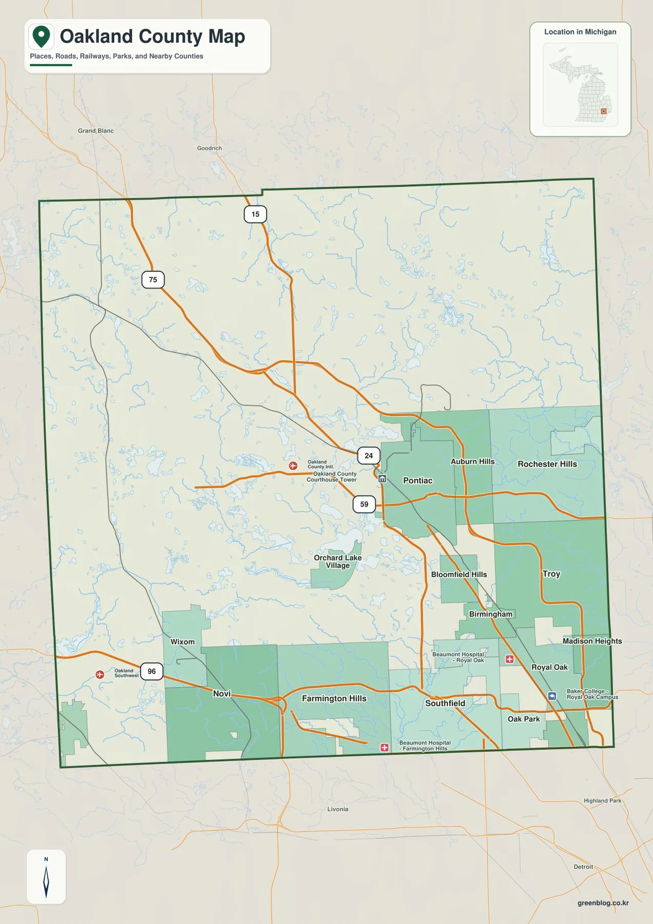
Oakland County sits immediately north of Detroit and combines one of Michigan’s most continuous suburban landscapes with a surprisingly lake-rich
From Pontiac to the Lake Country: An Oakland County Map of Roads, Rivers, and Relief Read More »
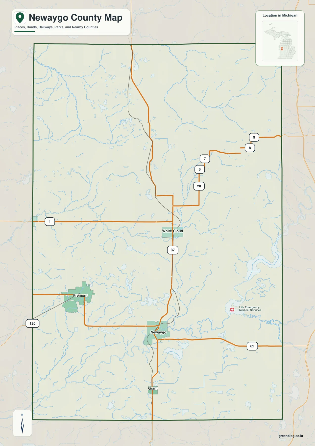
Newaygo County sits in the western interior of Michigan’s Lower Peninsula, where Fremont, Newaygo, White Cloud, and Grant form a
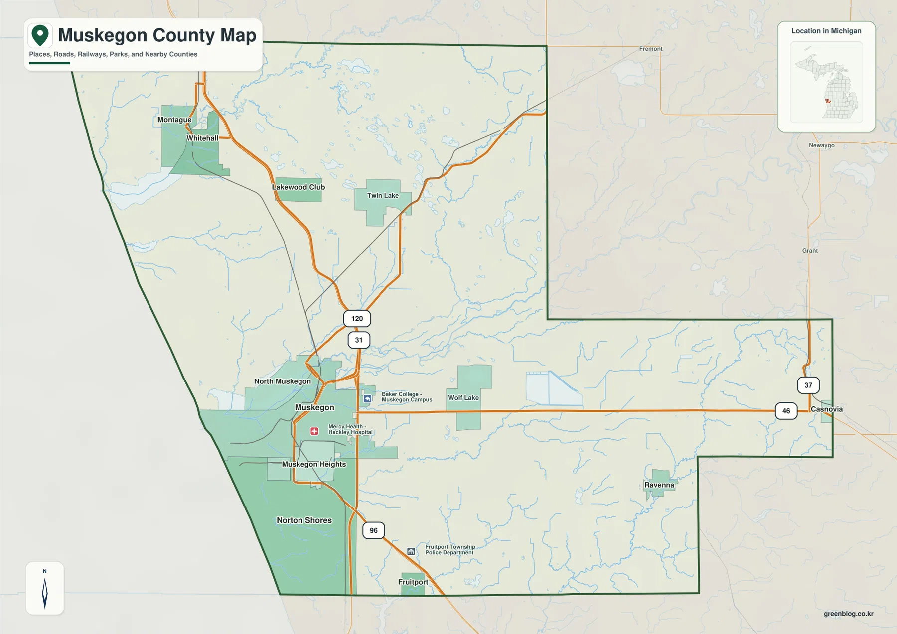
Muskegon County sits on the eastern shore of Lake Michigan, where a concentrated lakeshore urban area meets broad river valleys
Lake Michigan Shore, Muskegon Lake, and US-31 | Muskegon County Map Read More »
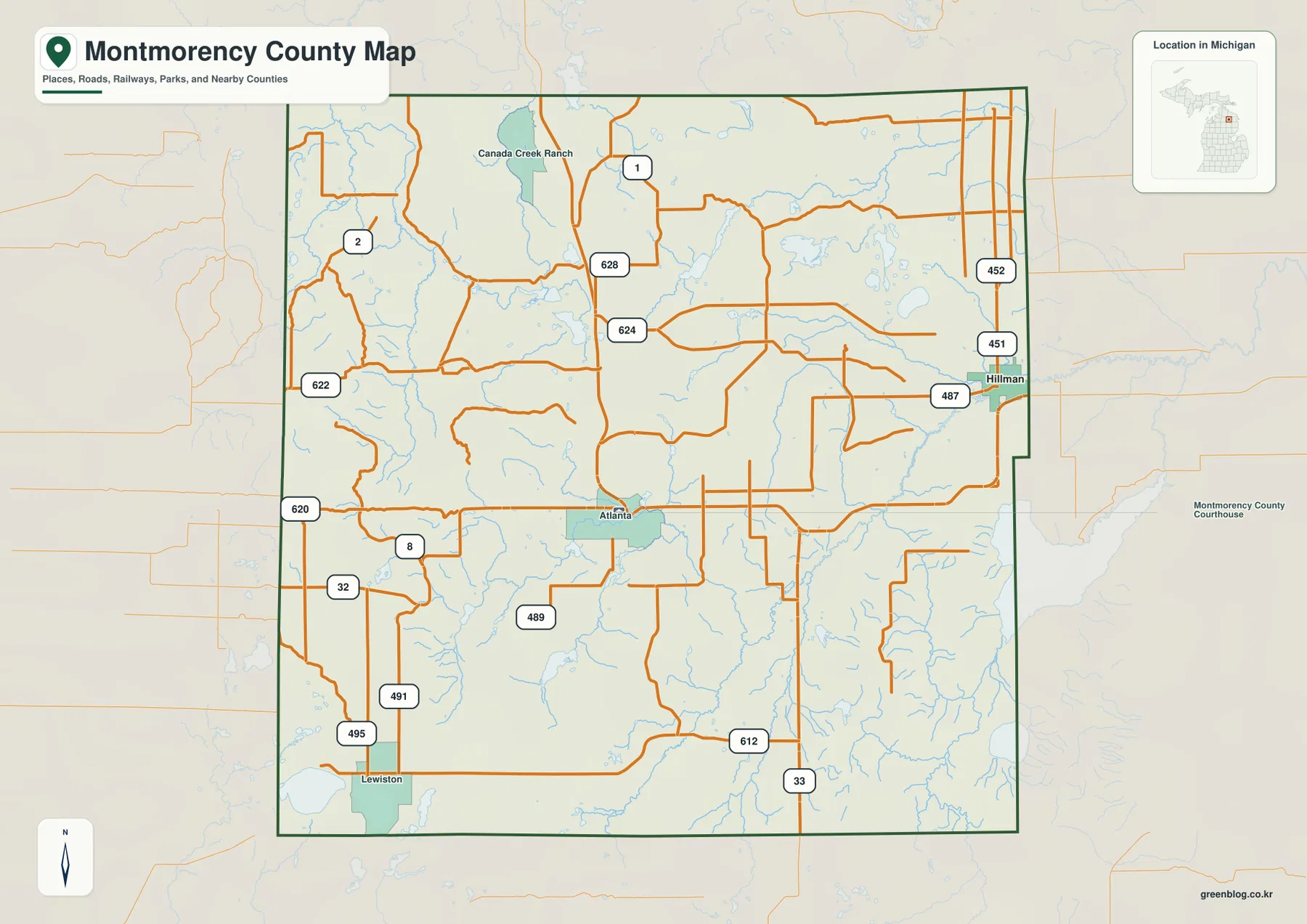
Montmorency County sits in the forested interior of northeastern Michigan’s Lower Peninsula, where small communities are separated by long stretches
Montmorency County Map: M-32, Forest Communities, and River Country Read More »
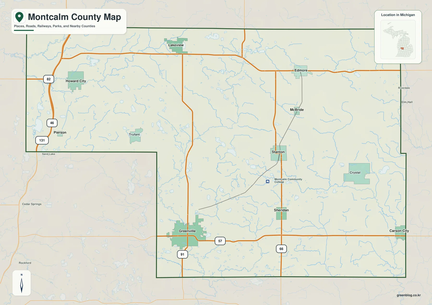
Montcalm County sits in the west-central part of Michigan’s Lower Peninsula, where a group of small cities and rural communities