
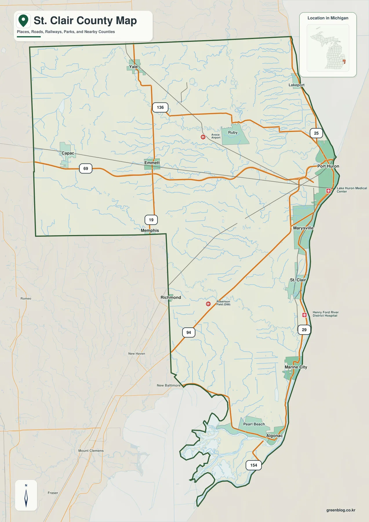
St. Clair County Michigan Map from Port Huron to Algonac — River Cities and Western High Ground
St. Clair County occupies Michigan’s eastern edge along the St. Clair River, with Port Huron at the northern end of
St. Clair County occupies Michigan’s eastern edge along the St. Clair River, with Port Huron at the northern end of
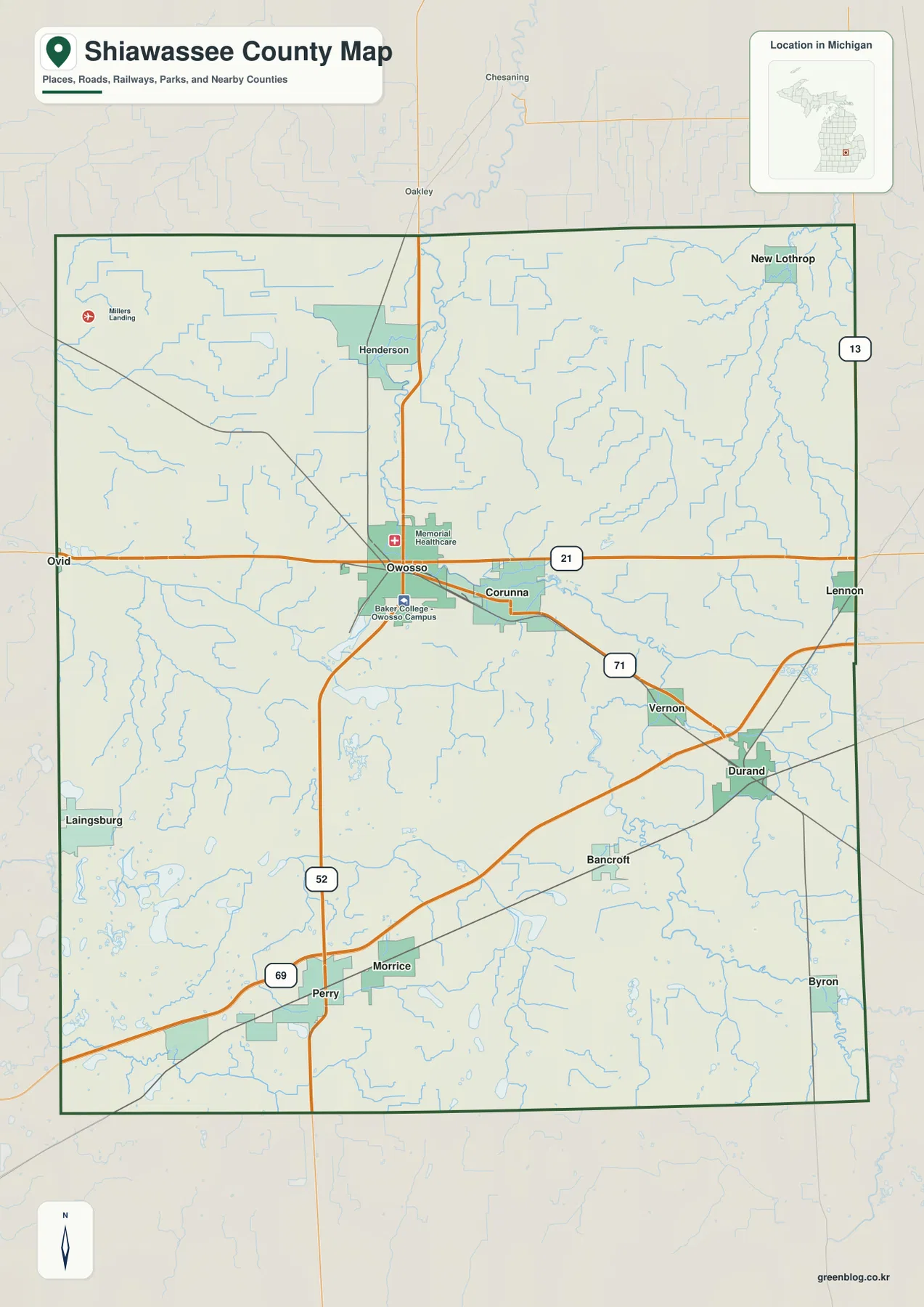
Shiawassee County lies in the central part of Michigan’s Lower Peninsula, where Owosso and Corunna form the most prominent urban
Shiawassee County Map — Owosso, Durand, River Valleys, and Southern High Ground Read More »
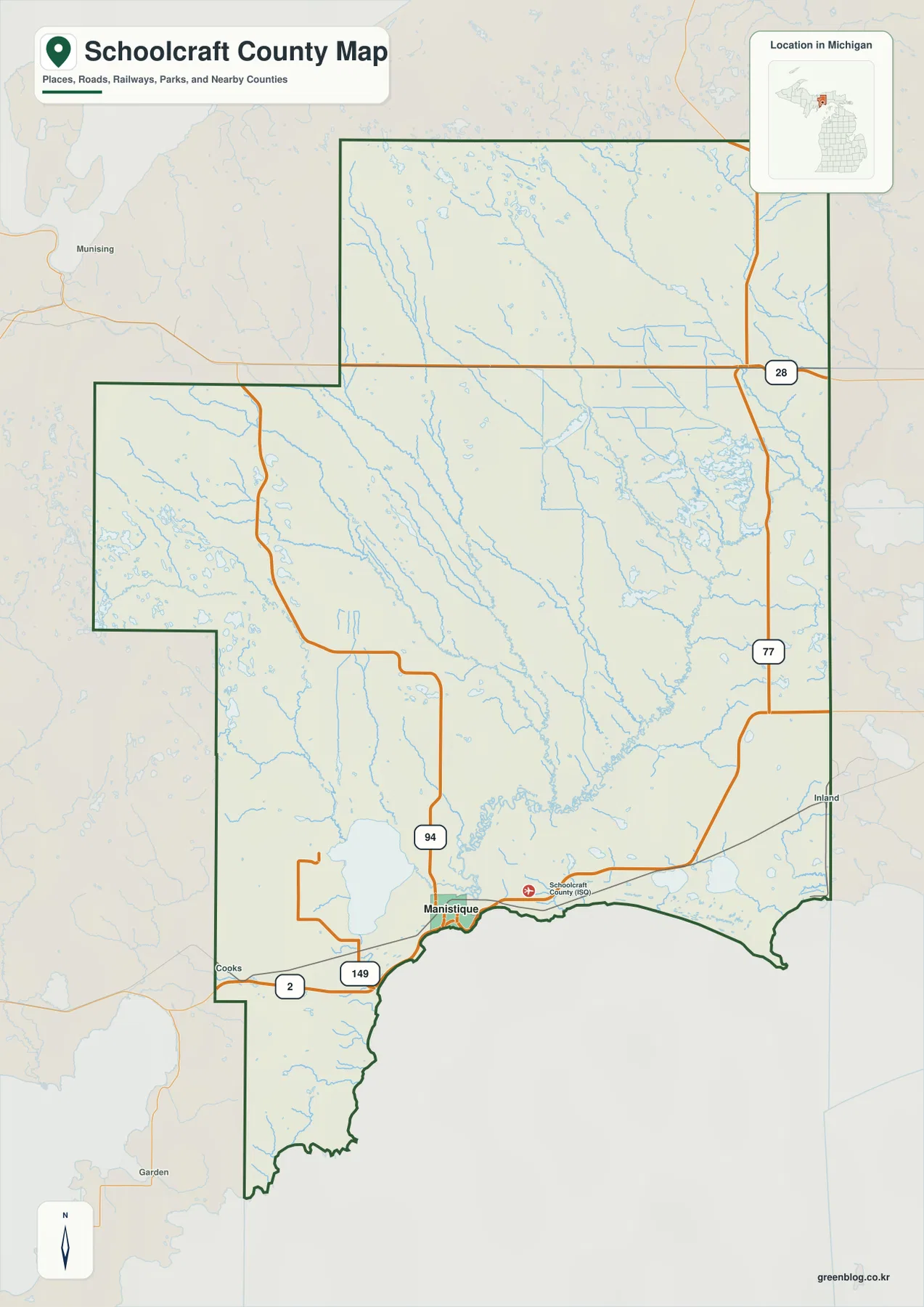
Schoolcraft County occupies a broad part of Michigan’s eastern Upper Peninsula, with Manistique on the Lake Michigan shore and a
Schoolcraft County Map — Manistique, Indian Lake, and Northern Uplands Read More »
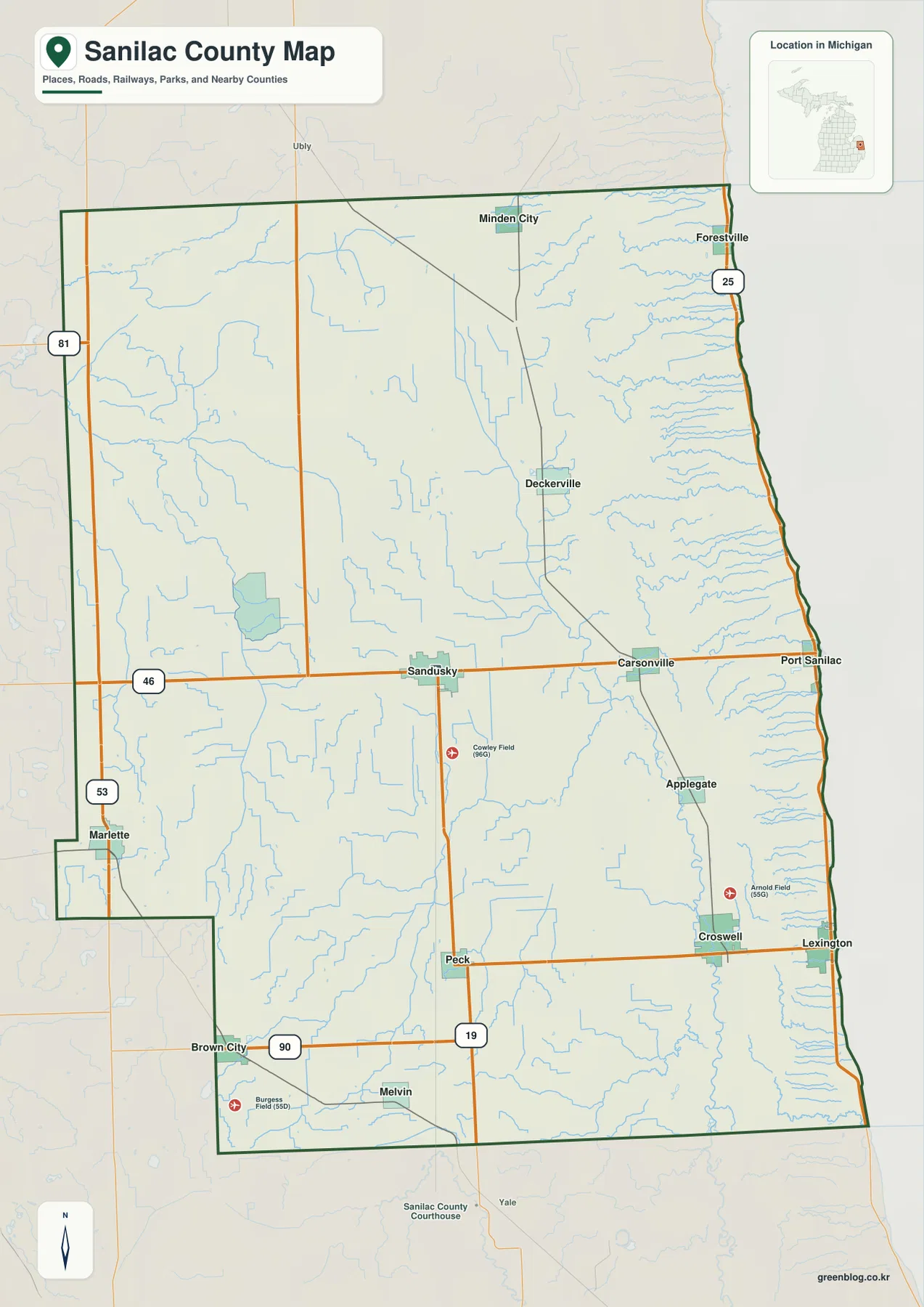
Sanilac County occupies the eastern side of Michigan’s Thumb, where a long Lake Huron shoreline meets an inland network of
Sanilac County Map — Sandusky, Cass River Branches, and the Lake Huron Shore Read More »
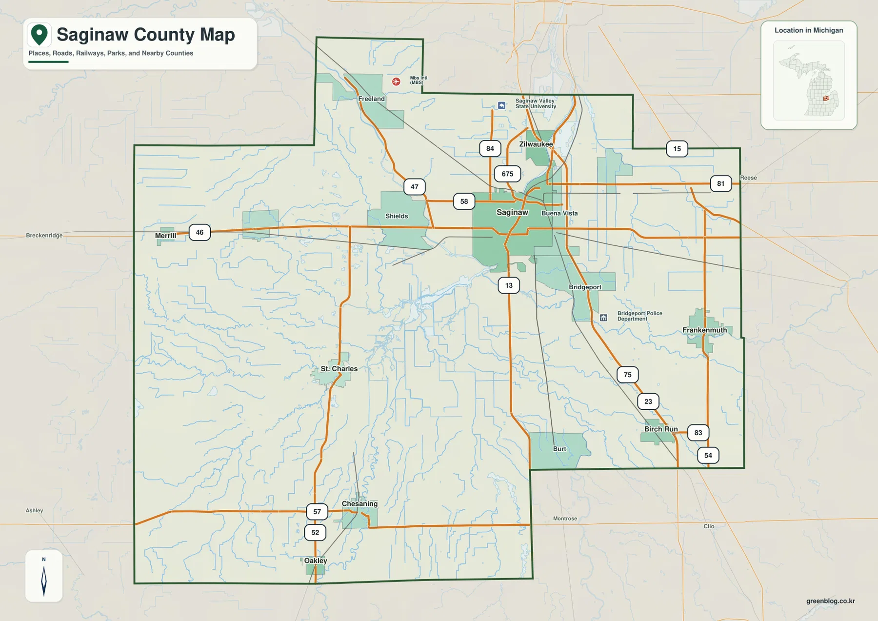
Saginaw County lies in east-central Michigan’s Lower Peninsula, where a broad lowland, several major rivers, and a dense road network
Saginaw County Map — Frankenmuth, Chesaning, and the Central River Lowland Read More »
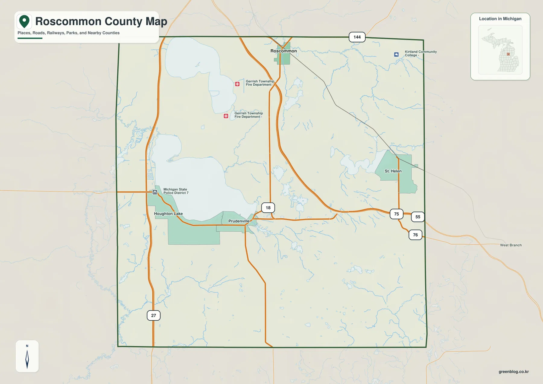
Roscommon County sits in the north-central Lower Peninsula of Michigan, where large inland lakes, forested uplands, small streams, and widely
Houghton Lake and Au Sable Headwaters | Roscommon County Map Read More »
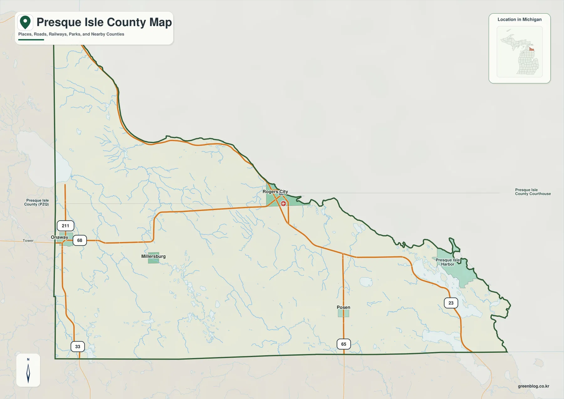
Presque Isle County occupies a long stretch of northeastern Michigan’s Lower Peninsula where the Lake Huron shoreline, small inland communities,
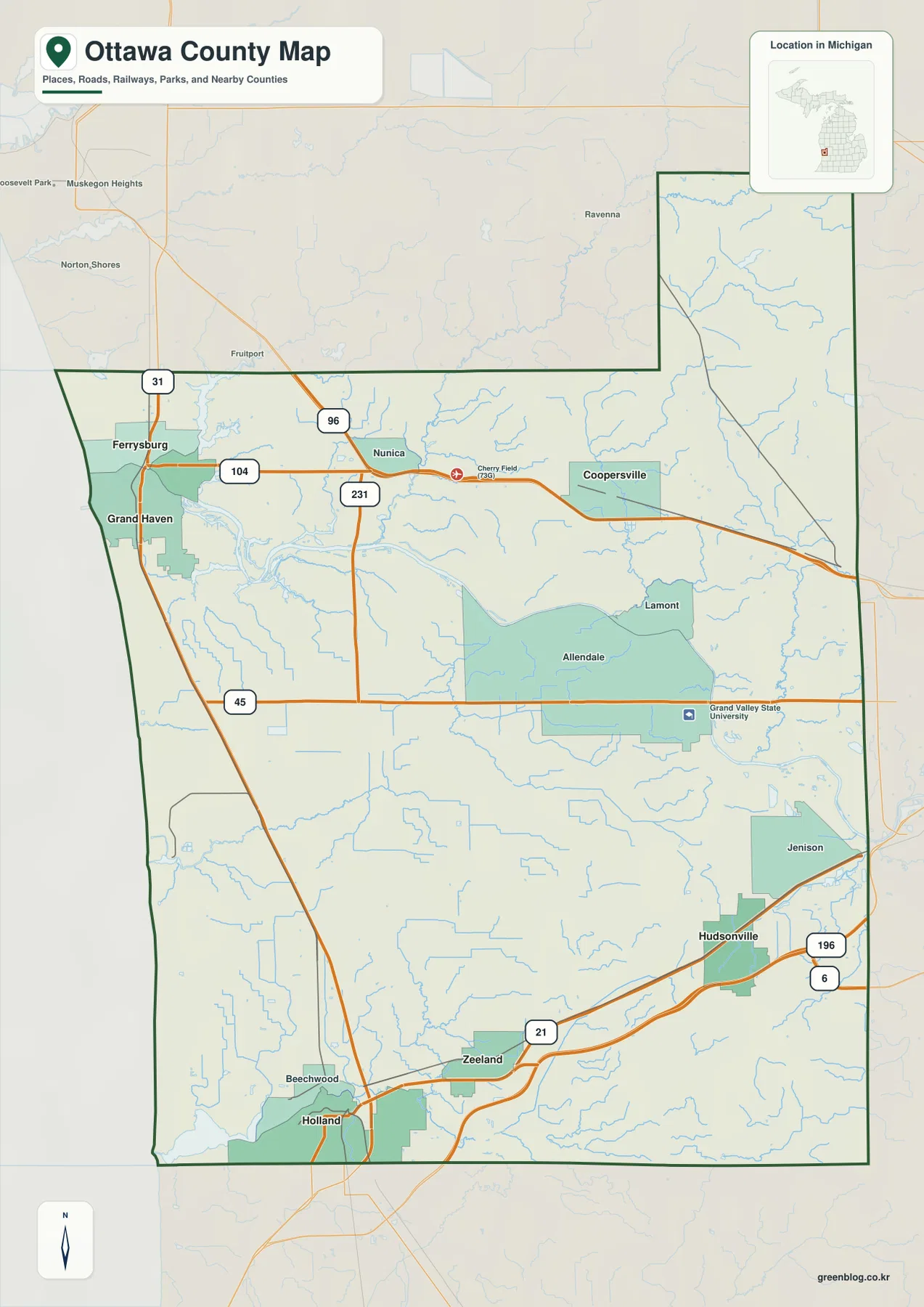
Ottawa County stretches from the Lake Michigan shoreline east toward the Grand Rapids metropolitan area, so its map brings together
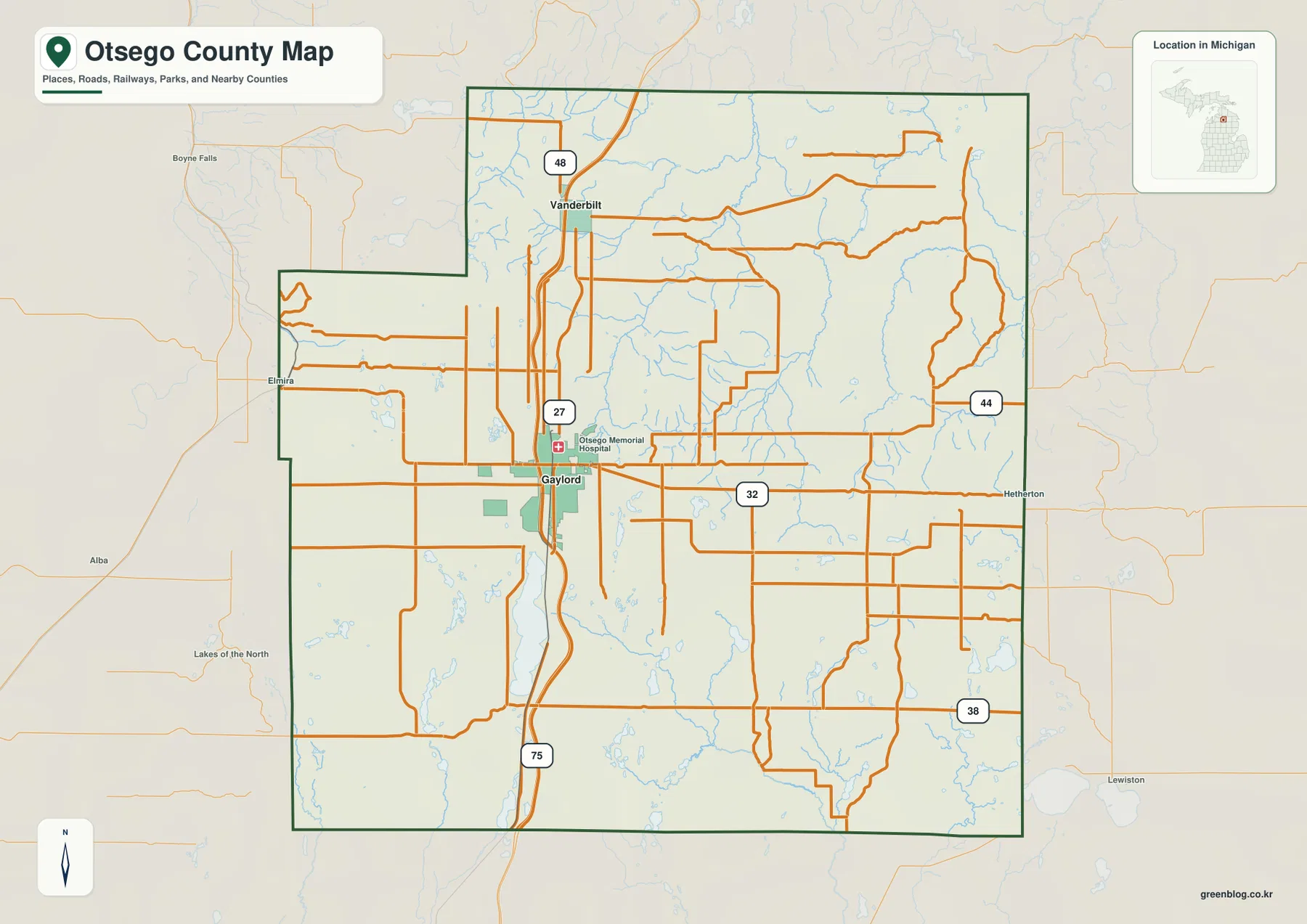
Otsego County sits in the north-central part of Michigan’s Lower Peninsula, with Gaylord serving as the clearest road and settlement