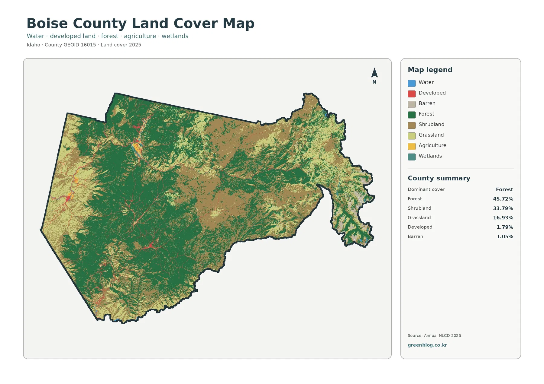
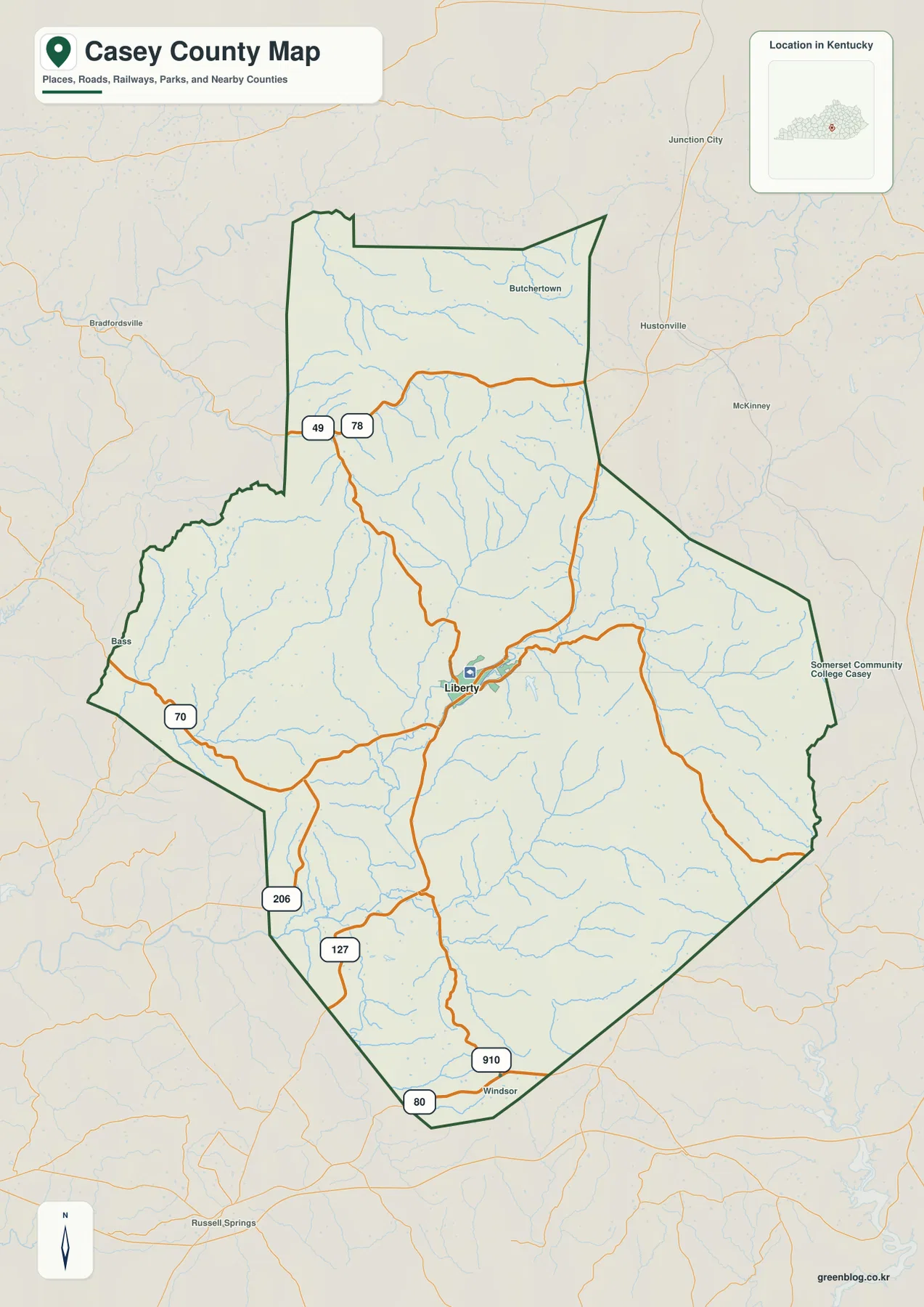
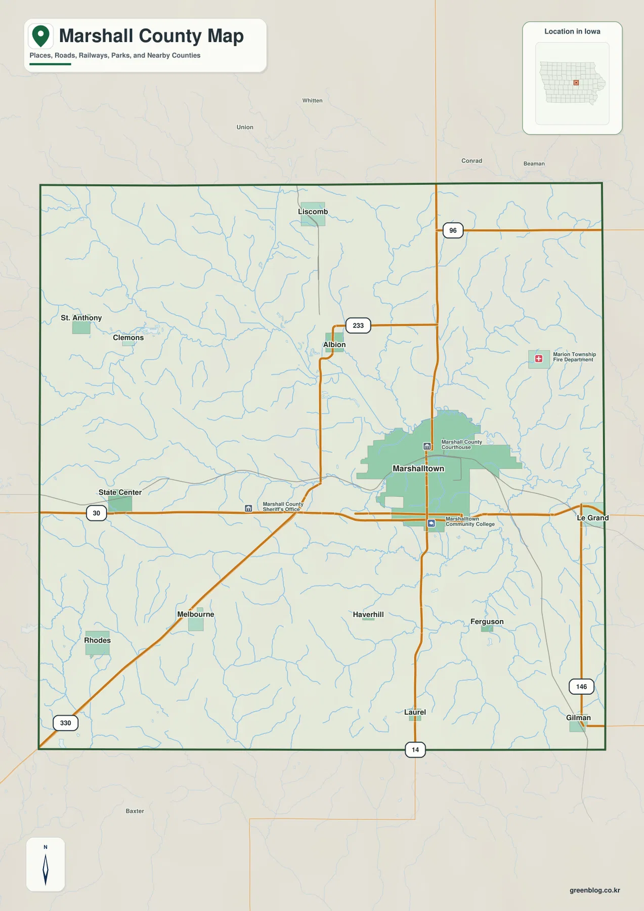
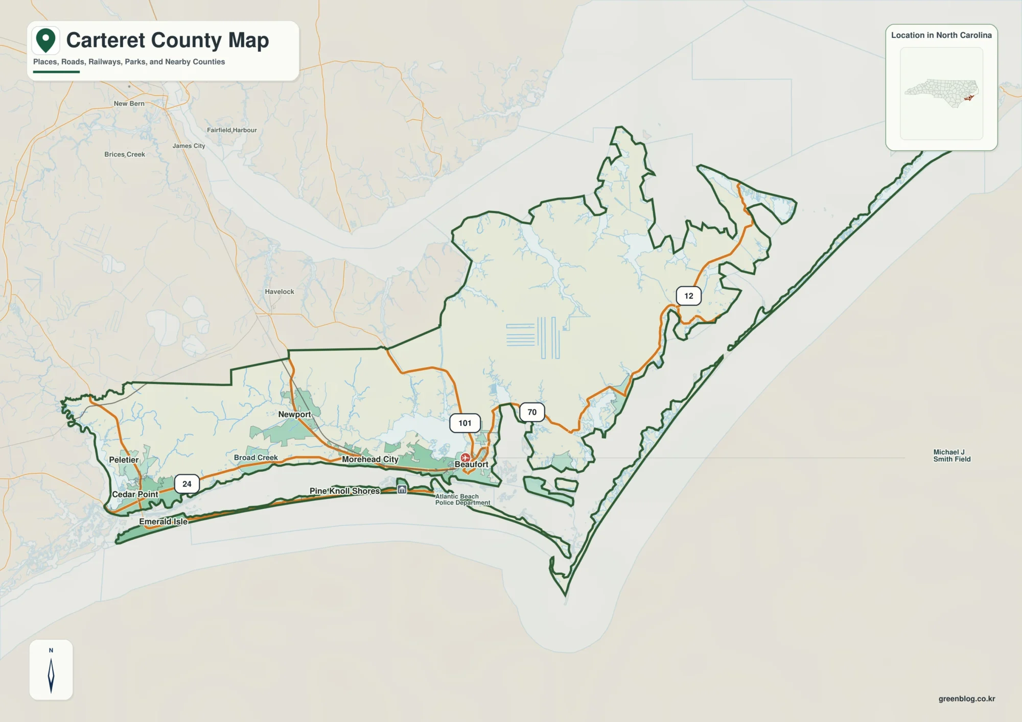
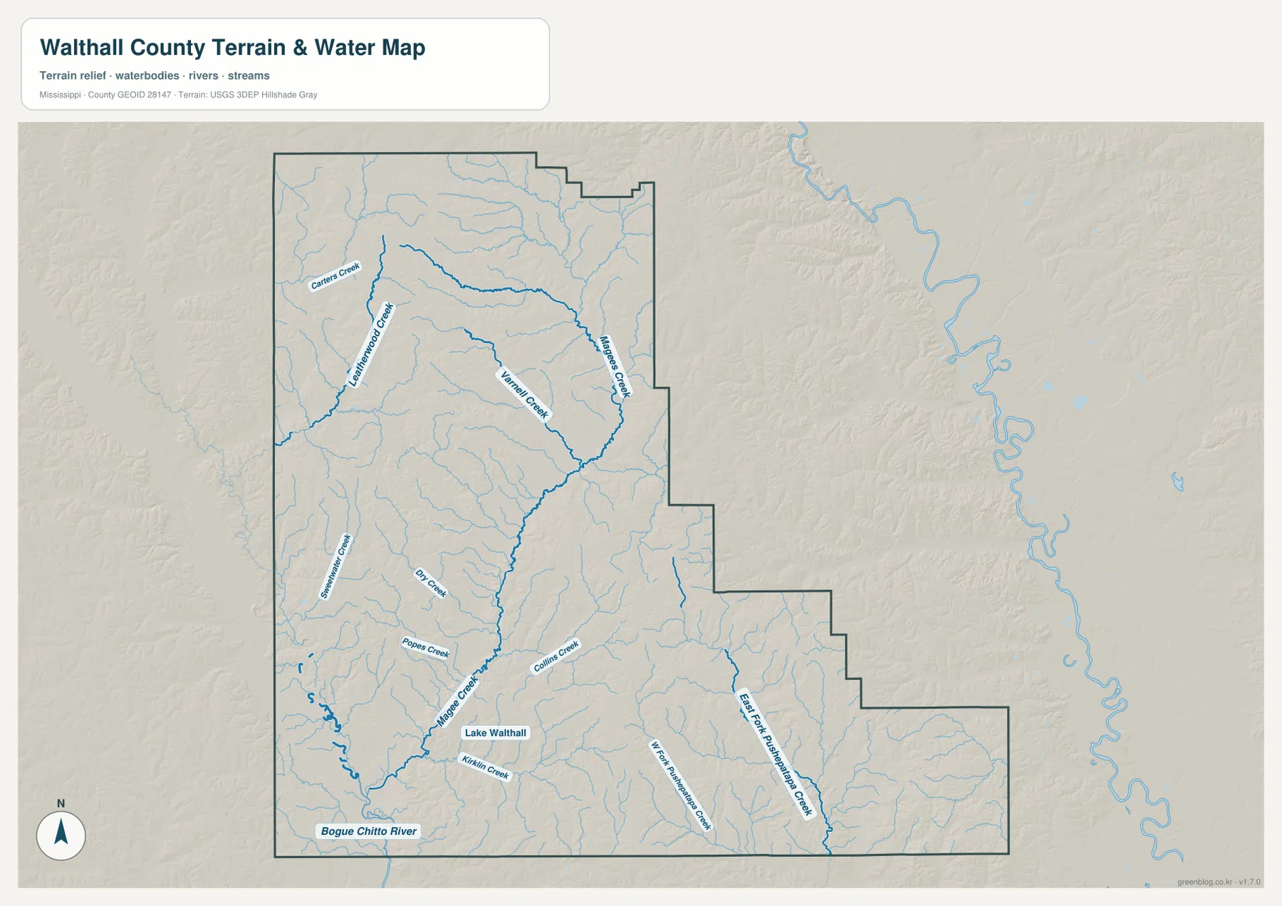
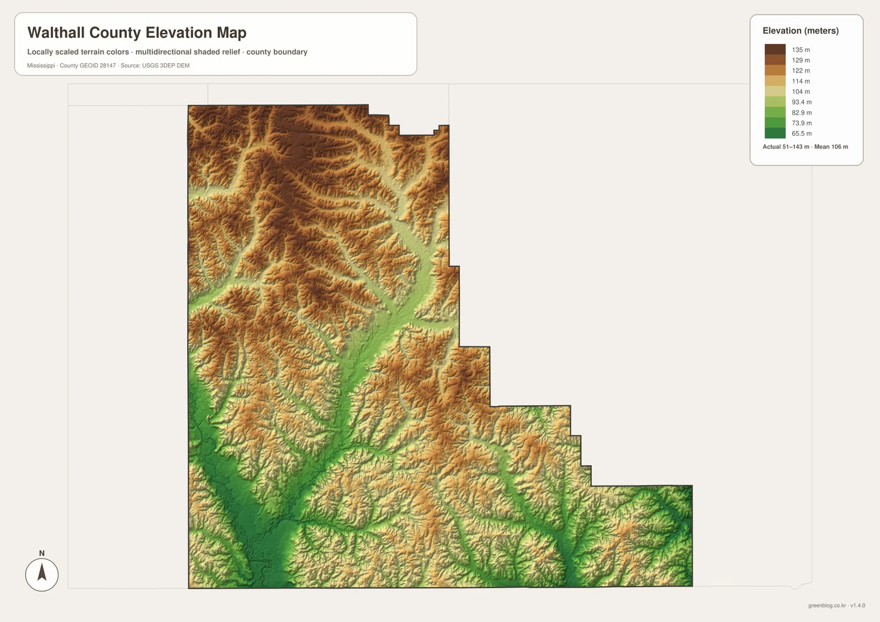
Downloadable Walthall County map files are provided on this page for anyone who needs a larger road, city, water, or elevation reference. Tylertown is the clearest place to begin, with US 98 crossing the county and state routes branching toward Dexter, Sartinville, Simonds, and the Louisiana side. The terrain-and-water view adds Bogue Chitto River, Magee Creek, Leatherwood Creek, Magees Creek, Varnell Creek, and several smaller valleys. The elevation surface records an actual range of about 51 to 143 meters, with higher hill country across the north and a broad lower corridor toward Bogue Chitto River in the southwest. The ZIP below contains high-resolution A3 JPG originals for all four supplied map subjects.
Walthall County is a rural southwestern Mississippi county where the map is shaped less by a large urban area than by a compact county seat, a scattered road network, and many creek-cut hills. Tylertown lies near the west-central part of the county. The northern half is more strongly dissected by ridges and narrow valleys, while the land drops toward Magee Creek and Bogue Chitto River in the southwest. The southeastern county line steps outward in several stages, producing an irregular outline that is easy to miss on a simple location map.
Table of Contents
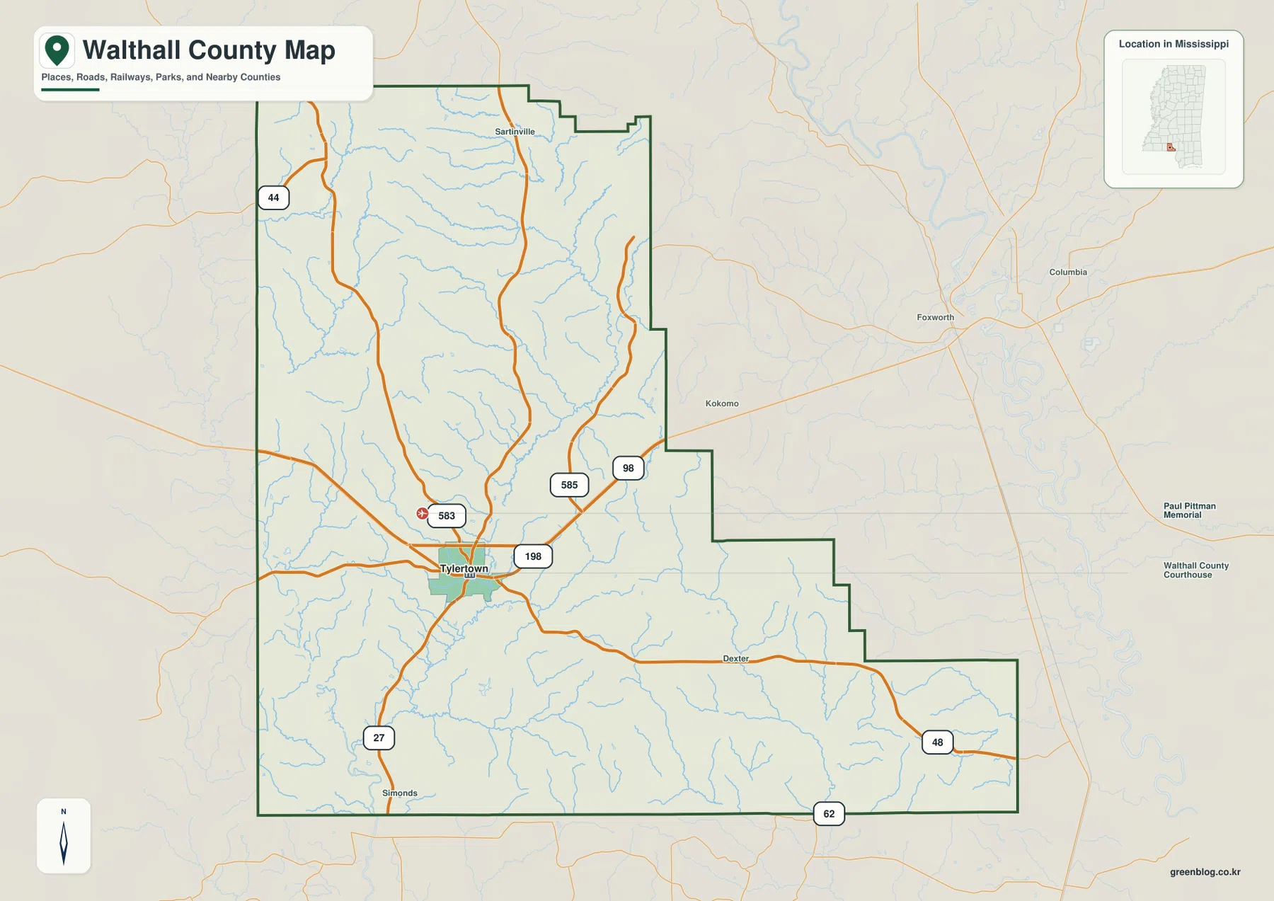
Starting with Tylertown, US 98, and the county outline
Tylertown is the most practical starting point on the general county map. US 98 crosses the area from the Pike County direction and continues east toward Marion County, giving the county a clear east-west road reference. MS 27 runs through the Tylertown side and continues toward the Louisiana line, while MS 48 leads across the southeastern part of the county near Dexter. With those routes in place, the rest of the map becomes much easier to orient.
Several smaller state routes add local detail without changing that basic structure. MS 198 and MS 583 are labeled around Tylertown, MS 585 reaches toward the northeast, and MS 44 is visible in the northwest. Near the lower-right edge, MS 62 provides another boundary-area reference. These roads spread out from the central settlement area into farmland and hill country rather than forming a dense urban grid.
The county outline itself is distinctive. Its northern section is relatively broad, the eastern boundary then steps inward, and a long southeastern portion extends outward again. Tylertown sits close enough to the middle to serve as a convenient reference for both sides. Sartinville lies farther north, Dexter is east of Tylertown, and Simonds provides a southern reference near the state-line side. Reading these place names together with the county edge is more useful than treating the outline as a simple rectangle.
Why the city view uses Tylertown as its single ranked center
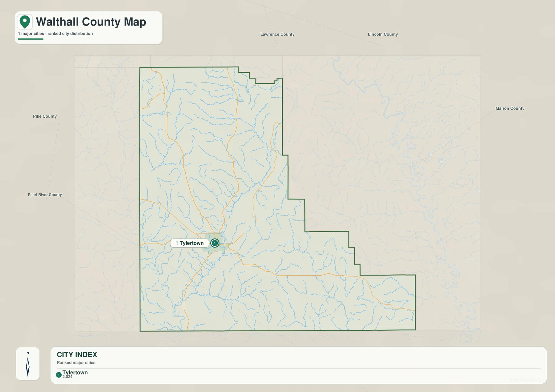
The city-distribution map is intentionally simple. Tylertown is the only ranked major city shown, with a printed index value of 2,024. Around it, Pike, Pearl River, Lawrence, Lincoln, and Marion counties provide regional direction. This design makes the map useful for one specific purpose: locating the county seat within southwestern Mississippi without the extra road and creek detail of the general map.
Names such as Dexter, Sartinville, and Simonds still matter on the broader county map, but they are not ranked in the same way as Tylertown on the city panel. The difference is helpful rather than incomplete. A reader interested in the county’s settlement center can use the cleaner city view, while someone tracing local roads or smaller place names can switch to the general county map.
Bogue Chitto River and a county divided by creek valleys
Bogue Chitto River is the strongest named water feature in the southwest. Magee Creek descends toward the same lowland, with Popes Creek and Kirklin Creek joining the surrounding drainage country. On the map, this southwest corner looks broader and lower than many of the northern valleys, which matches the deep green area on the elevation surface.
The northern half has a different pattern. Leatherwood Creek runs through a long valley in the northwest-central area, with Carters Creek nearby. Magees Creek occupies the northeast, and Varnell Creek cuts through the interior between those larger drainage lines. Because the surrounding land is higher, each creek appears as a narrow corridor between closely spaced hills rather than a wide floodplain.
Farther south, Sweetwater Creek, Dry Creek, Popes Creek, and Collins Creek add more separate valleys. The southeastern extension contains East Fork Huntingdon Creek and West Fork Huntingdon Creek, which divide that long part of the county into additional drainage corridors. Lake Walthall is labeled near the Magee Creek side, but it is a small waterbody compared with the total network of streams.
This is a location and landscape map rather than a flood, parcel, or navigation product. The blue network helps explain where water moves through the county and why the hills are cut into so many narrow valleys. Flood insurance, property lines, private access, water quality, and boating questions require dedicated current sources rather than interpretation from this overview.
From 143-meter northern hills to the lower Bogue Chitto side
The elevation map prints an actual range of about 51 to 143 meters and a mean elevation of about 106 meters. Much of the north is colored in warm browns, indicating higher rolling ground, while narrow green valleys cut deeply between the ridges. The northeastern creek country shows the same pattern, with higher slopes surrounding the Magees Creek corridor.
The terrain changes noticeably toward the southwest. Magee Creek opens into a much broader low zone, and the Bogue Chitto River side contains some of the deepest green terrain on the map. Tylertown sits between these two settings: it is lower than much of the northern hill country but not as low as the broad river corridor farther southwest. The southeastern extension returns to a finer pattern of ridges and narrow valleys around the Huntingdon Creek branches.
Comparing the elevation and water views makes the relationship easy to see. Leatherwood, Magees, Magee, and Huntingdon creeks all occupy lower corridors than the ridges immediately around them. The elevation colors are designed for county-scale comparison, not property surveying. Exact elevations for a home site or farm, road-grade calculations, drainage engineering, and construction decisions require more precise measurements.
Population, land area, and a mostly rural settlement pattern
The package’s Census references give a 2020 census population of 13,884 and a July 2025 estimate of 13,928. Since the two figures come from different reference dates and methods, they are better used as separate measures of recent county size than as directly comparable observations. The city map reinforces the broader picture: Tylertown is the one ranked city center, while most of Walthall County consists of smaller places and rural land outside that compact urban area.
The 2025 Gazetteer figures list 403.928 square miles of land and only 0.477 square miles of water. Dividing the 2020 population by the listed land area gives about 34.4 residents per square mile. The very small open-water figure does not conflict with the many blue lines on the water map. Most of the mapped water network consists of narrow creeks and river channels rather than broad lakes that cover large areas.
The existing material describes the county in terms of pine hills and pasture, and the supplied maps provide useful context for that rural landscape. Repeated ridges dominate the elevation view, while the general road map shows long stretches outside Tylertown with relatively few settlement labels. These maps do not classify forest ownership, pasture boundaries, farm parcels, or land use, so those topics require separate data rather than assumptions from the shaded terrain.
Following Walthall County from Tylertown into the creek valleys
A simple way to read the county is to begin with Tylertown and US 98, then trace MS 27 toward the Louisiana side and MS 48 toward Dexter. After that, the terrain makes more sense if Magee Creek and Bogue Chitto River are located on the water view. Their broad southwest lowland explains a major change that is easy to miss on the road map alone. In the north, matching Leatherwood Creek and Magees Creek with the elevation colors reveals a much tighter hill-and-valley pattern.
For a presentation, the city view works well when Tylertown’s position is the main point because it removes most competing detail. A road-focused explanation benefits from the general county map, while a natural-landscape discussion becomes clearer by moving between named creeks and the elevation surface. The full-size JPG files are especially useful when labels need to remain readable on an A3 print or after cropping a specific part of the county.
Frequently Asked Questions
Does Walthall County directly border Louisiana?
Yes. The existing source material places the county’s southern edge on the Louisiana state line. On the general map, Simonds and the southern MS 27 and MS 62 directions help orient that side of Walthall County. Precise property or legal boundary work still requires a dedicated current boundary source.
Why do streams matter more than large lakes on this map?
The supplied 2025 Gazetteer value lists only 0.477 square miles of water, while the terrain map shows many narrow river and creek channels. Lake Walthall is visible, but the county’s physical pattern is explained more clearly by Bogue Chitto River and the creek valleys cutting through the hills than by large open-water areas.
Map File Information
The ZIP packages the Walthall County county, city, water, and elevation maps as high-resolution A3 JPG files. These originals provide more label and terrain detail than the WebP page previews when printing, editing, or preparing classroom graphics.
- File Type: four high-resolution JPG files in one ZIP
Related Maps
Sources and References
- U.S. Census Bureau QuickFacts for Walthall County — population reference
- U.S. Census Bureau Gazetteer Files — land and water area reference
- Mississippi Department of Transportation Official Highway Map — US 98, MS 27, MS 48, and state-road reference
- USGS National Hydrography — Bogue Chitto River, creek, and lake reference
- USGS 3D Elevation Program — elevation and terrain reference
- Walthall County Chamber of Commerce — local institution and community reference
Green Map creates custom-edited map images using open geographic data sources such as geoBoundaries, Natural Earth, OpenStreetMap, and government open data. These maps are edited visual materials, not raw data files, and are provided for education, documents, presentations, and graphic reference.