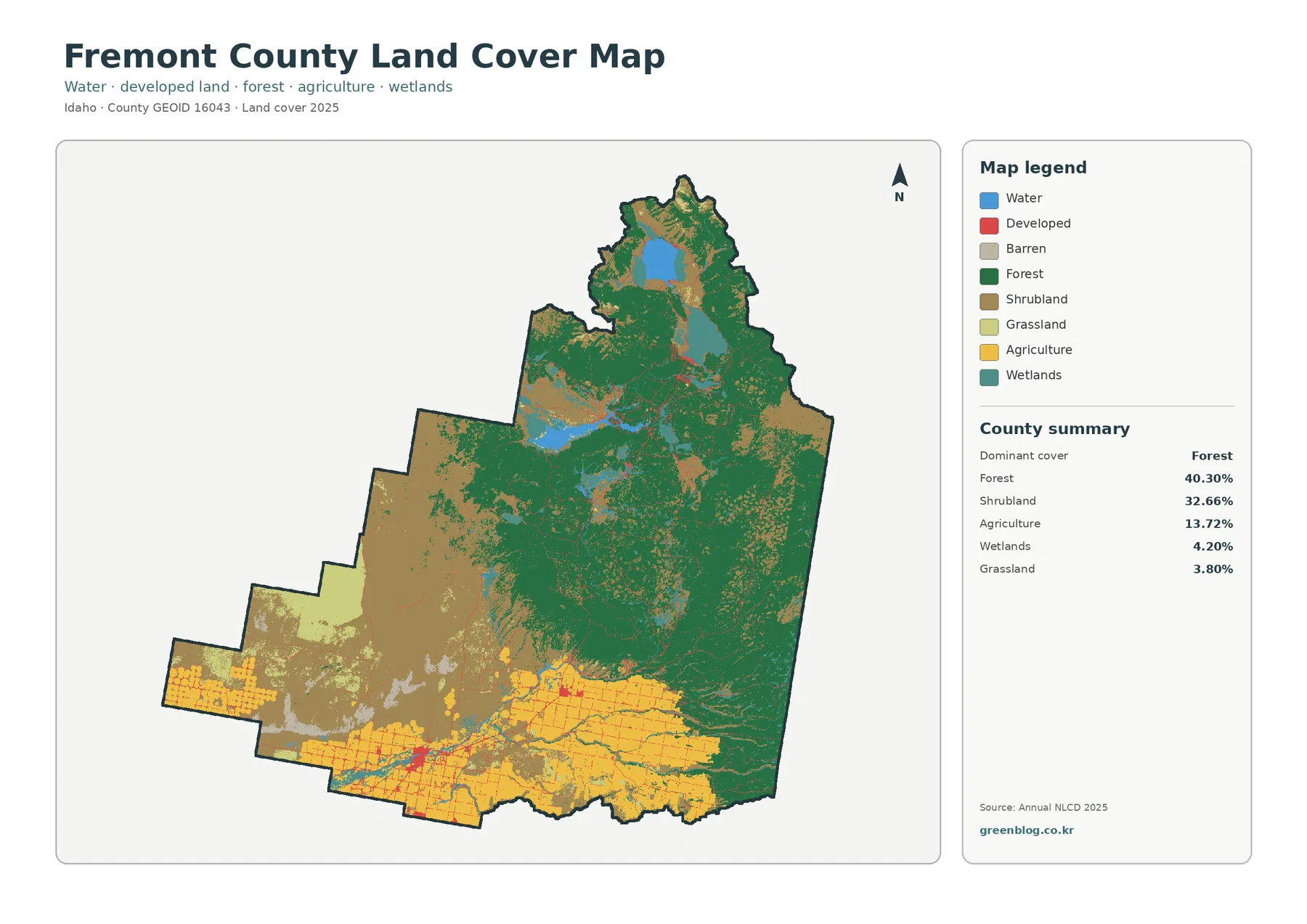
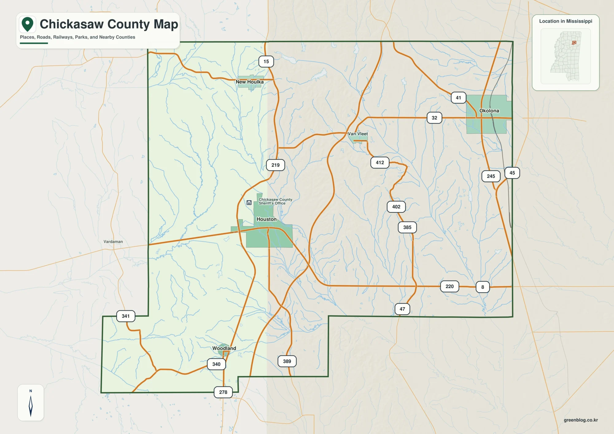
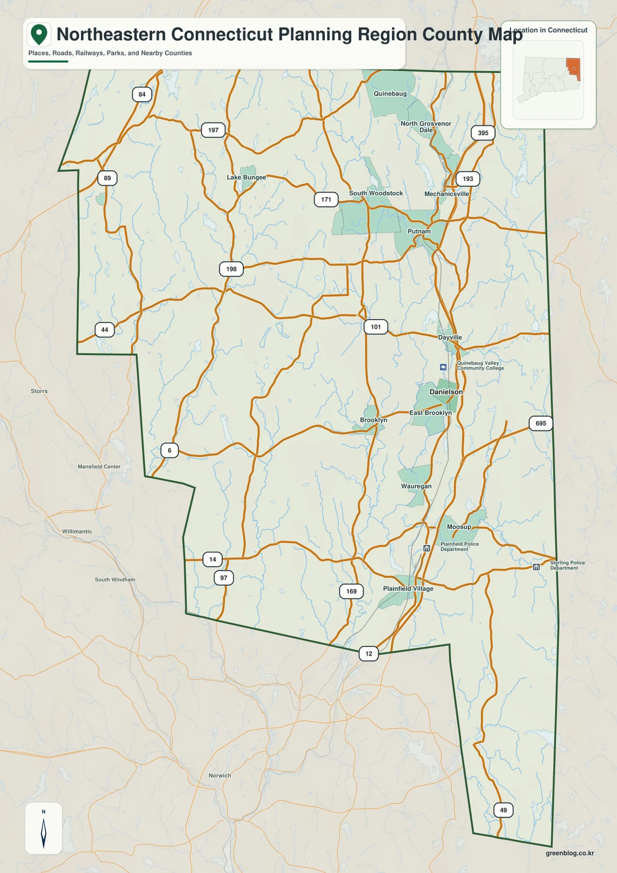
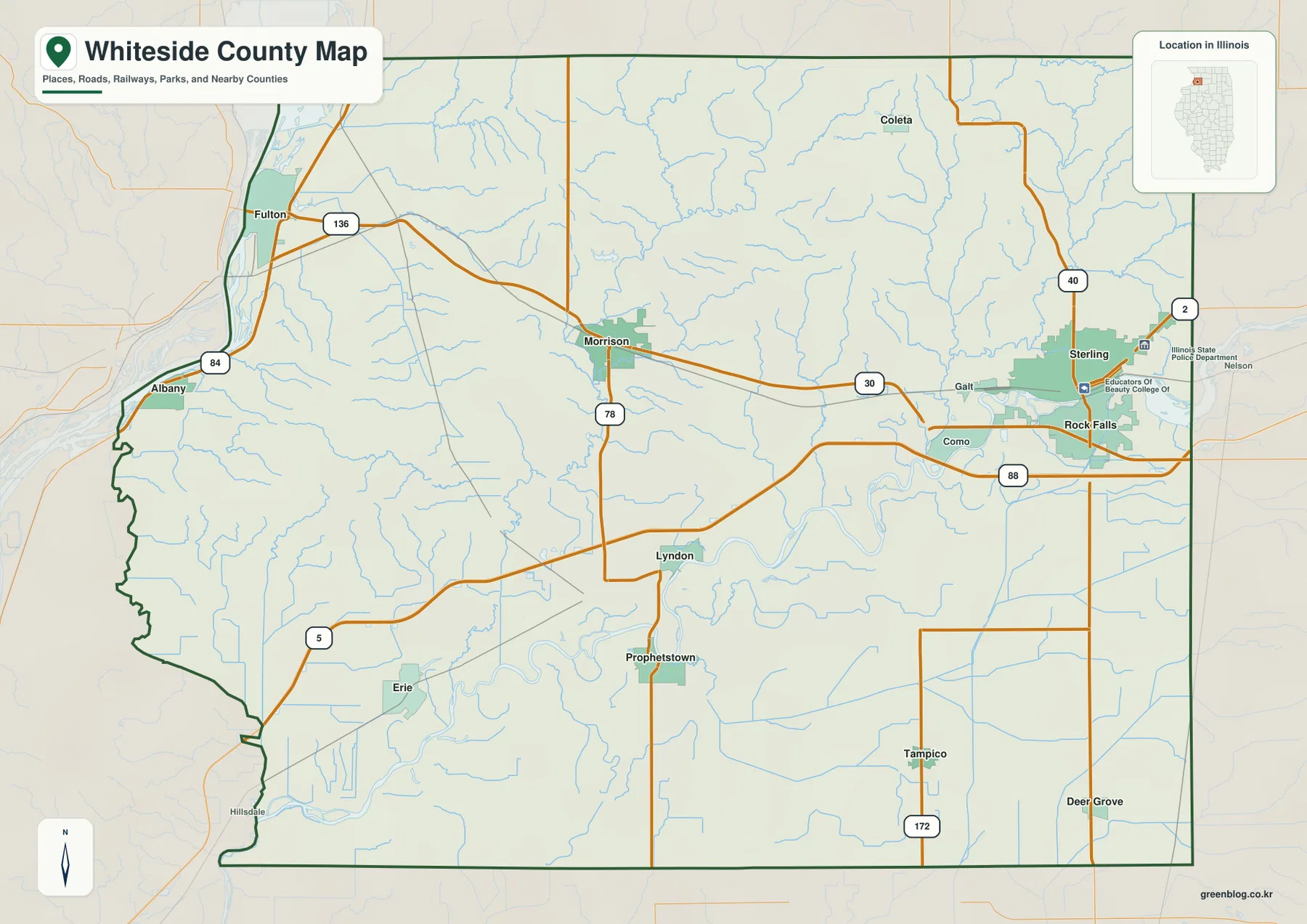
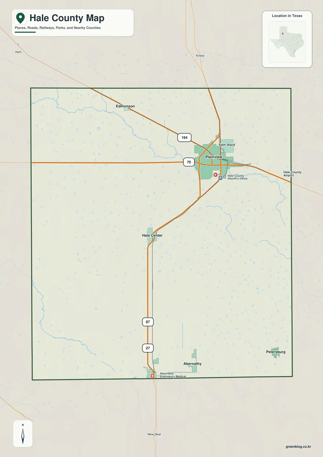
Hale County sits on the broad High Plains of northwest Texas, where Plainview forms the clearest urban reference point in the northeastern part of the county. The supplied maps show the county outline, numbered road corridors, the relative positions of Plainview, Hale Center, Abernathy, Petersburg, and Edmonson, the drainage feature labeled Blackwater Draw, and an elevation range of about 972 to 1,104 meters. You can review the web maps on this page and download the matching high-resolution JPG files in a ZIP near the end of the article.
The county looks simple at first because the terrain is open and the road network contains many long, straight segments, but the four map views reveal more detail. Plainview is offset toward the northeast rather than sitting in the geometric center. Hale Center and Abernathy extend the main settlement pattern southward, Edmonson sits northwest of Plainview, and Petersburg is isolated toward the southeastern edge. The terrain and water image adds a very different layer: instead of one dominant river, it shows numerous small water features and shallow drainage lines scattered across the plain.
The city map uses straight-line distances from Plainview, not driving mileage. The terrain-and-water map is a reference for the location of waterways and small water bodies rather than a flood or navigation product, and the elevation surface is intended for broad terrain comparison rather than parcel-level surveying. Those limits matter because the maps are most useful when each one is read for the information it was designed to show.
Table of Contents
Plainview is the easiest anchor for the road and settlement map
Plainview stands out immediately on the general county map because the built-up area is larger than the other labeled communities. Route 70 crosses the Plainview area from west to east, while Route 194 approaches from the northwest. Routes 87 and 27 continue south from the city area toward Hale Center and Abernathy, giving the county a strong north-south reference line. Starting with those corridors makes it easy to orient the rest of the map without treating every local road as equally important.
The map also marks Hale County Airport east of Plainview and the Hale County Sheriff’s Office near the city. These labels help establish Plainview as more than just one town among several; it is the most visually prominent center on the supplied map. Outside the county boundary, Kress appears to the north and Hart to the northwest, providing additional directional landmarks when the county outline is viewed in a larger regional context.
South of Plainview, Hale Center lies close to the 87/27 corridor in the middle-lower part of the county. Abernathy is positioned directly along the southern boundary, while Petersburg is separated to the southeast and Edmonson lies northwest of Plainview. That arrangement is useful because it shows that settlement is not simply concentrated along a single central line. Plainview dominates the northeast, the north-south highway corridor serves Hale Center and Abernathy, and two smaller communities occupy noticeably different corners of the county.
Straight-line distances show how the smaller communities are spread around Plainview
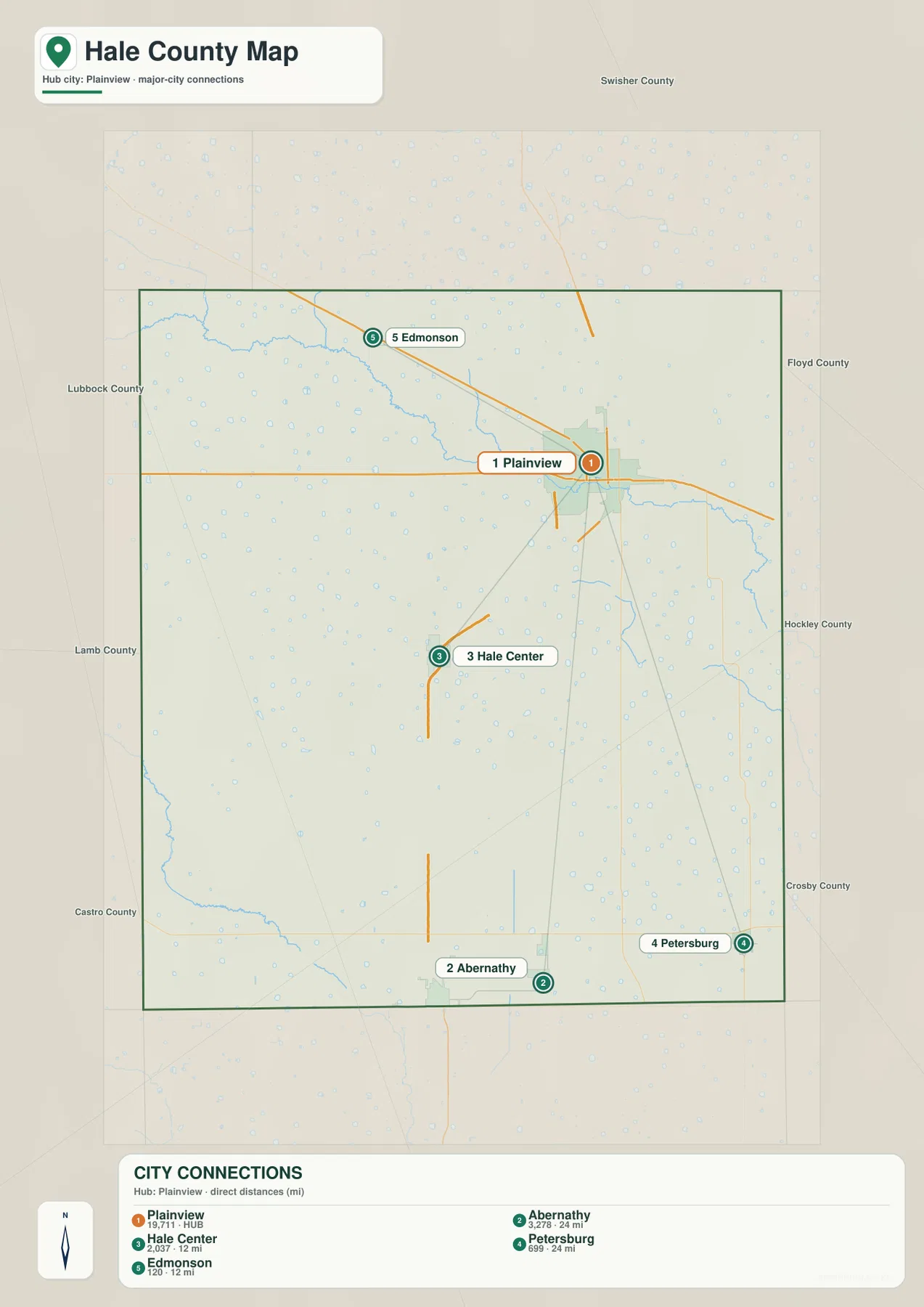
The city-connections map strips away much of the road detail and makes the settlement pattern easier to compare. Plainview is marked as the hub and ranked first, followed by Abernathy, Hale Center, Petersburg, and Edmonson. The important visual point is not the ranking by itself. Plainview occupies the northeast-central part of the county, Hale Center and Abernathy extend southward, Petersburg sits toward the southeast, and Edmonson is the only ranked community shown northwest of the hub.
The legend gives Hale Center and Edmonson straight-line distances of about 12 miles from Plainview. Abernathy and Petersburg are both shown at about 24 miles. Those numbers are useful for comparing relative separation across the county, but they are not road distances and should not be used as travel-time estimates. A driver may cover a longer distance because the available roads do not always follow the direct line shown in the city map.
Neighboring county labels around the map provide additional orientation. Swisher County is shown to the north, while Lubbock County and Lamb County appear on the western side and other county labels frame the east and southeast. These surrounding names are especially useful for Petersburg and Abernathy because both lie near the county edge. For actual routing, however, the general map should be consulted again so the city symbols can be matched with the numbered roads.
Blackwater Draw stands out among many small water features on the plain
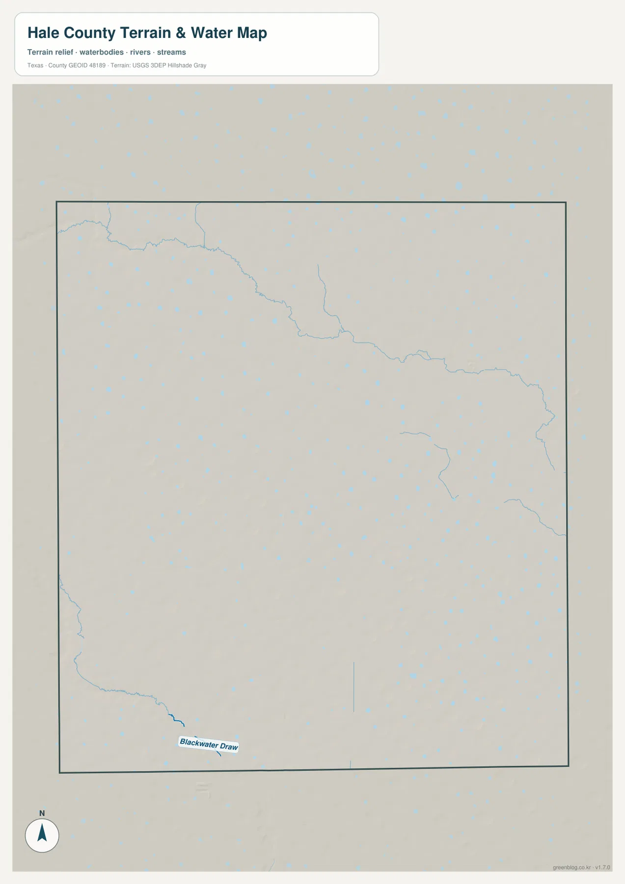
The terrain-and-water map does not show a large river cutting across Hale County. Instead, the most clearly named feature is Blackwater Draw near the southwestern edge. Elsewhere, thin drainage lines cross parts of the county and numerous tiny blue water features are scattered across the plain. This is a much better representation of the local map pattern than describing Hale County as if it were organized around one major river valley.
The many small blue marks are visually important even though most are not individually labeled in the supplied image. They show that small depressions and water-holding areas are widespread across the county. The existing package also identifies playa lakes as part of the Hale County setting, and the map’s repeated small water symbols fit that broad High Plains pattern. Their presence should be read as a distribution feature rather than as a statement that every depression contains permanent water.
Blackwater Draw is easiest to locate by starting in the southwest and looking for the darker labeled channel near the county boundary. If you first find Abernathy on the general map, switching to the water map makes the southern and southwestern parts of the county easier to match. Plainview, by contrast, sits in an area with many small water symbols but no single dominant named waterway in the preview, which reinforces how different this landscape is from a county centered on a broad river.
This map is intended to show the location of drainage and water features together with shaded terrain. It does not establish flood zones, water depth, navigability, or current water conditions. Small playa-like depressions can change seasonally, so a blue symbol should not be treated as proof of permanent open water. Flood planning, water management, and field conditions require current information from the appropriate official source.
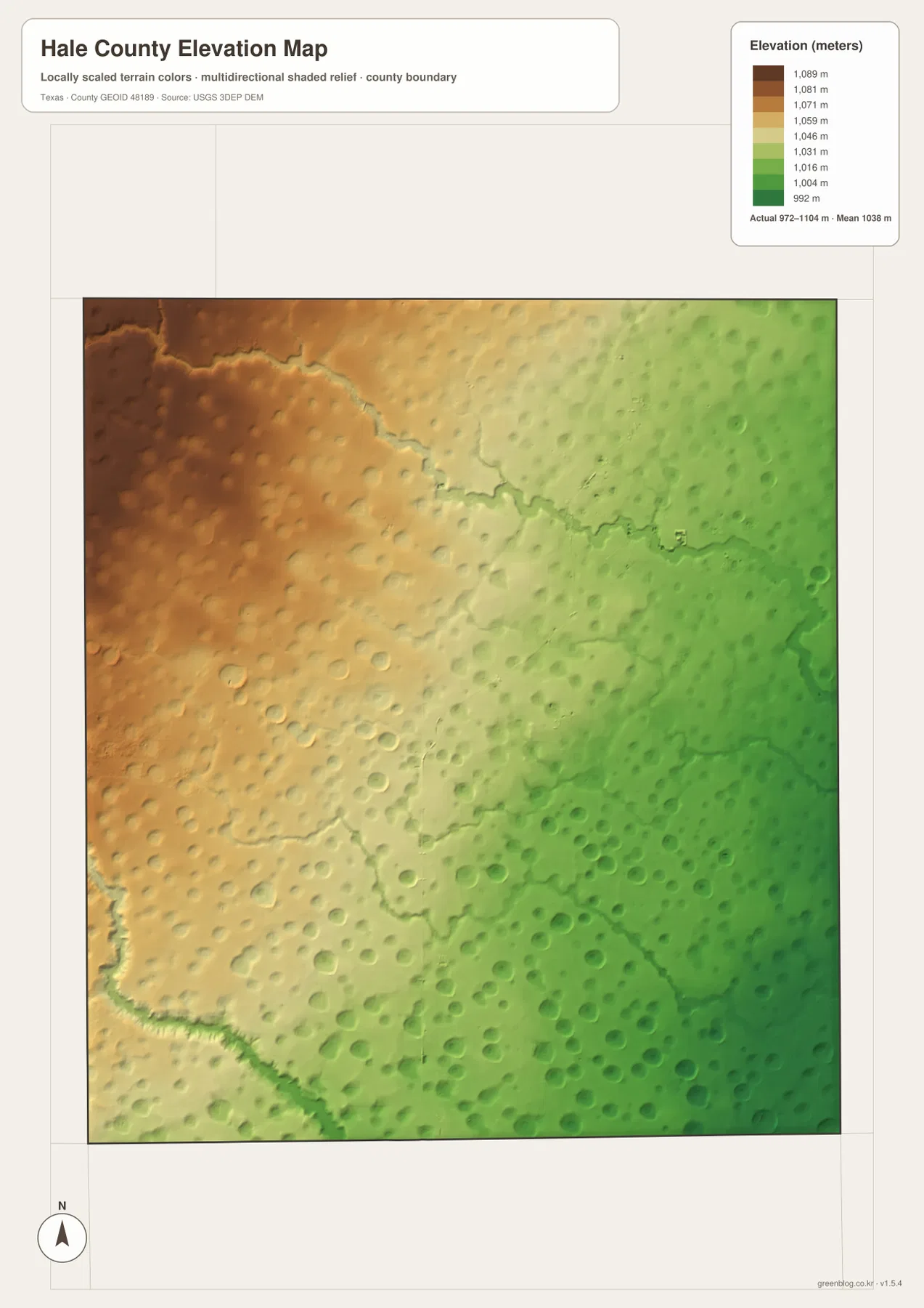
The 972–1,104 meter elevation range slopes gently from northwest toward the east
The elevation legend reports an actual Hale County range of about 972 to 1,104 meters, with a mean near 1,038 meters. Brown and orange represent the higher ground, while green marks the lower parts of the county. The strongest high colors occupy the northwest, and the surface gradually shifts through yellow toward greener terrain in the east and southeast. This broad change is one of the clearest features in the elevation image.
The county is not perfectly flat within that overall slope. Numerous rounded depressions appear across the surface, and shallow channels are visible along the northern and southwestern parts of the map. These small forms are subtle compared with mountainous terrain, but they matter because they explain why the High Plains surface still contains localized drainage and many small water features even when the overall relief is gentle.
Plainview is located toward the northeastern part of the county, where the color is generally lower than the darkest northwestern high ground. Farther south around Hale Center and Abernathy, the surface continues to show small depressions and gradual changes rather than one uniform level. Reading the map this way gives a more accurate picture of the Llano Estacado setting: it is a broad upland plain, but the surface still has shallow lows, subtle drainage paths, and a measurable county-wide elevation difference.
The elevation map should be used for regional comparison, not engineering measurements. The 972–1,104 meter range and 1,038 meter mean summarize the county, but they do not provide an exact elevation for an individual field, road, building site, or survey point. For classroom work, general reference, or comparison with the water map, the northwest-to-east color change provides a clear and useful terrain overview.
Frequently Asked Questions
What should I locate first on a Hale County map?
Start with Plainview, then find Hale Center and Abernathy. After that, compare their positions with Llano Estacado and the major road corridors to understand the settlement and travel pattern.
Why is Llano Estacado important when reading the county?
Llano Estacado is a useful physical reference because it can influence road alignment, settlement spacing, and land use. Reading it together with playa lakes makes internal geographic differences easier to see.
Why compare Hale County with neighboring counties?
Routes toward Swisher County and Floyd County continue beyond the administrative boundary, and regional travel, employment, and physical geography often operate across several counties.
What is the best place to locate first on a Hale County map?
Plainview is the simplest starting point because it is the largest mapped urban area and sits beside several major road markers, including Routes 70, 194, 87, and 27. Once Plainview is located, Hale Center and Abernathy can be followed southward, while Edmonson and Petersburg establish the northwest and southeast directions.
Where is Blackwater Draw shown in Hale County?
Blackwater Draw is labeled on the terrain-and-water map near the southwestern edge of the county. It is the clearest named drainage feature in that preview. The map should be used to locate the feature, not to determine flood risk, water depth, or whether water is present at a particular time.
What elevation range does the Hale County map show?
The elevation legend shows an actual range of roughly 972 to 1,104 meters and a mean near 1,038 meters. The northwest is the highest broad area, while the east and southeast are lower. Small depressions and shallow channels remain visible within that gentle county-wide change.
Sources and map reference notes
For official county boundary, road, and place-reference data, see the U.S. Census Bureau TIGER/Line Shapefiles. Waterway and hydrography information can be checked through USGS National Hydrography, while the elevation source is the USGS 3D Elevation Program.
The USGS The National Map Viewer is useful for comparing federal map layers in one place. The county-specific descriptions on this page are based first on the Hale County preview maps and asset manifest supplied in the rewrite package, including the labeled Blackwater Draw and the elevation legend showing about 972–1,104 meters.
Map File Information
Download the map files associated with this page for reference, printing, and compatible visual projects.
- Included Files: Use only the versions confirmed in the article and supplied images
- File Type: Use the confirmed download contents
- Intended Use: Printing, education, presentations, and map-based projects
Related Maps
- Swisher County Texas map
- Parmer County Texas map
- Randall County Texas map
- Motley County Texas map
- Bailey County Texas map
Green Map creates custom-edited map images using open geographic data sources such as geoBoundaries, Natural Earth, OpenStreetMap, and government open data.
These maps are edited visual materials, not raw data files, and are provided for education, documents, presentations, and graphic reference.