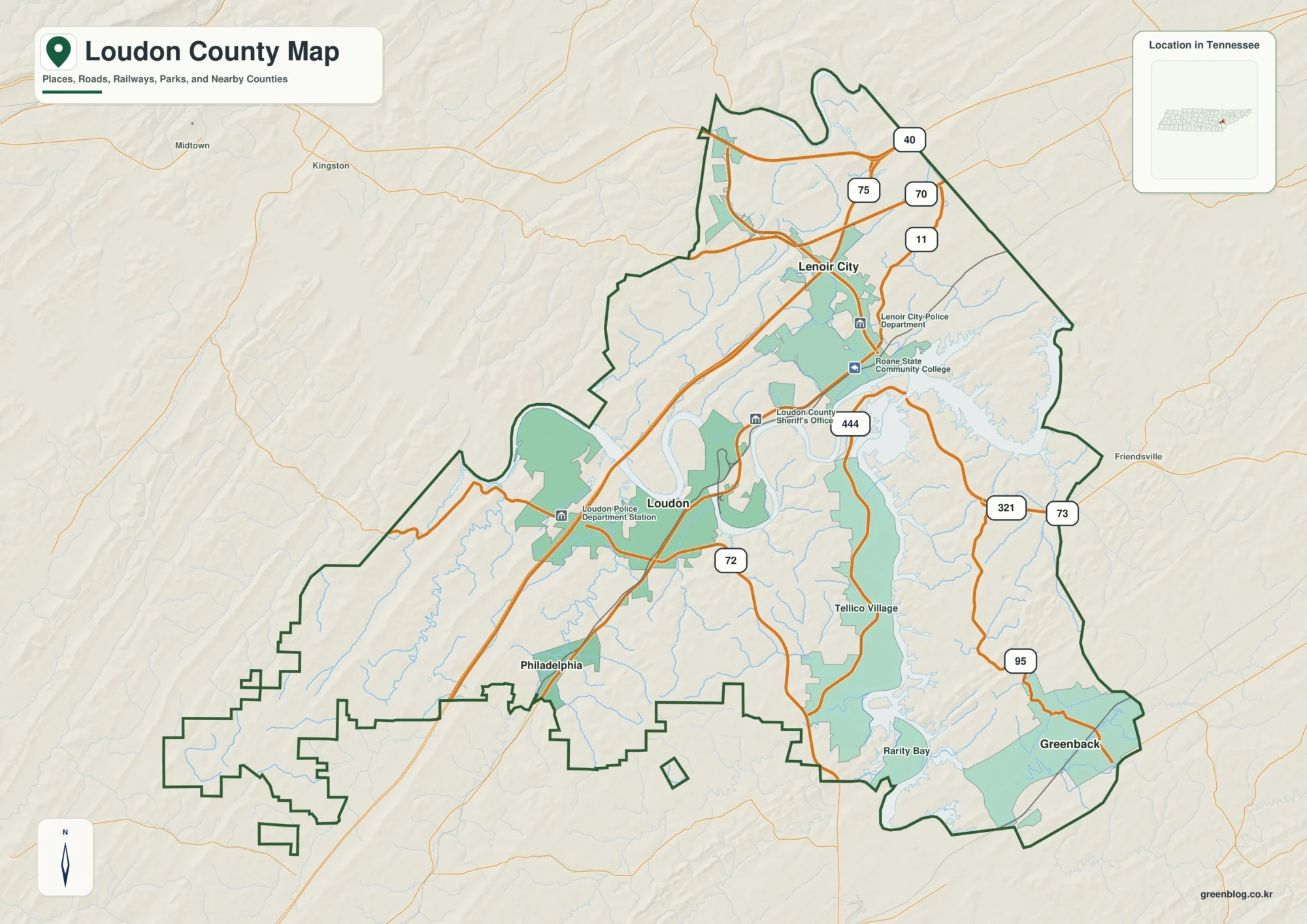
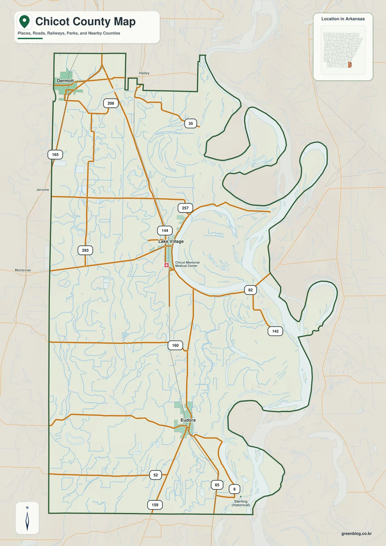
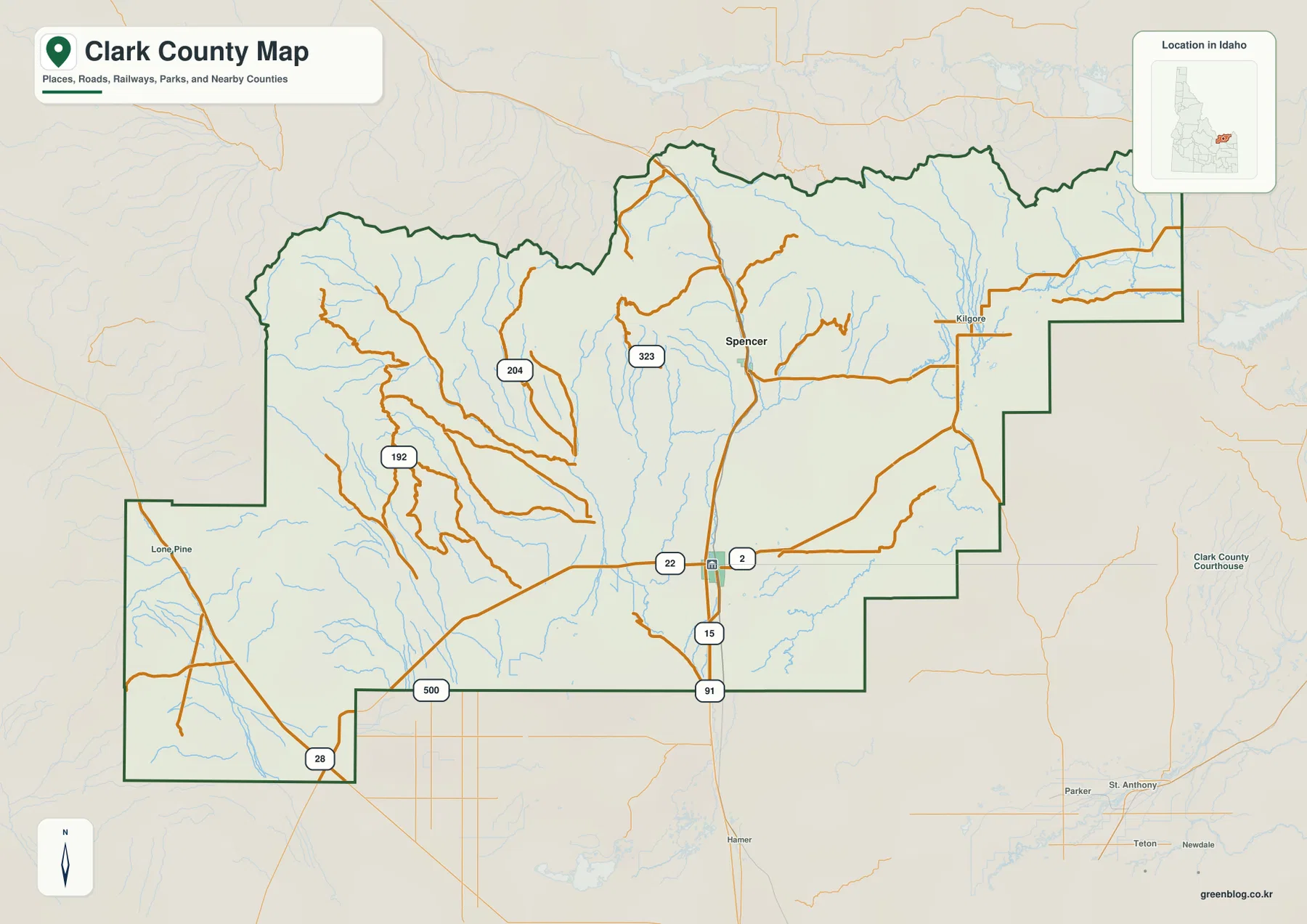
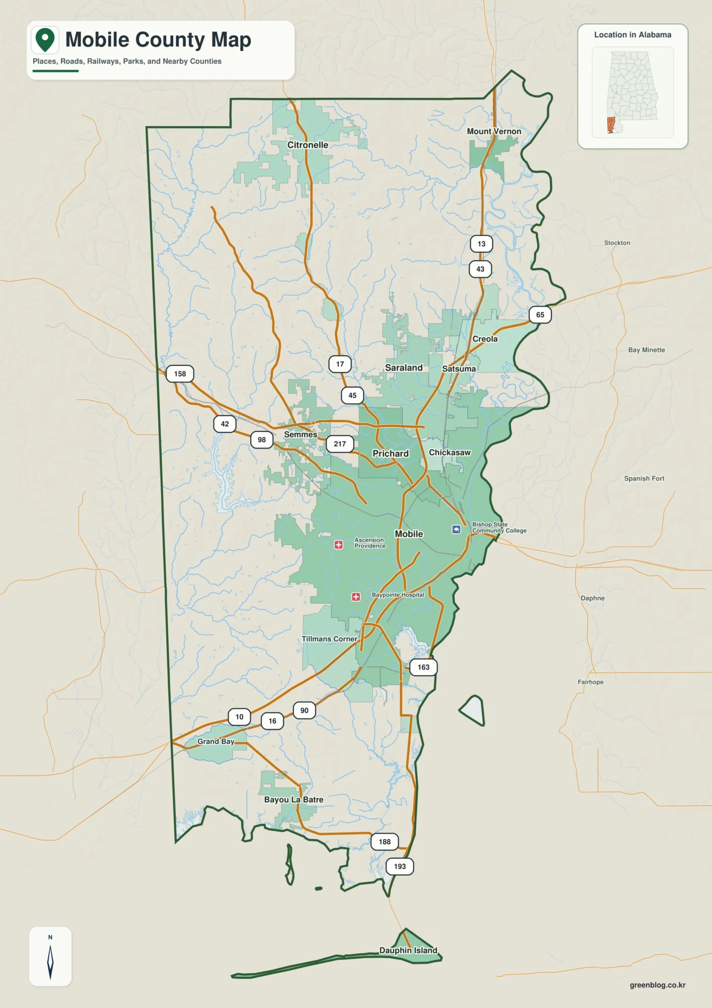
A Choctaw County Alabama Map is easiest to understand by using Butler as the central reference and then looking toward the Tombigbee River on the east and the Mississippi state line on the west. U.S. 84 crosses the southern part of the county, Alabama 17 provides an important north–south connection, and small towns are separated by long stretches of forest and rural land. This page includes county, city, water, and elevation previews, plus a downloadable ZIP of high-resolution A3 JPG files for printing, classroom use, presentations, and offline map projects.
The county has no single continuous urban corridor. Butler serves as the administrative center, Gilbertown and Silas form a southern sequence, Toxey provides a western reference, and Pennington and Lisman help define the river-facing side. Water and relief add another layer: the Tombigbee lowlands are broad and relatively low, while the western interior rises into more rolling and dissected uplands.
Table of Contents
Use Butler and U.S. 84 to establish the county road pattern
Butler is the clearest starting point on the general county map. Alabama 10 and Alabama 17 meet in the area, connecting the county seat with communities to the north and south. Farther south, U.S. 84 runs east–west and meets Alabama 17 near Silas, creating a recognizable route across the lower part of Choctaw County.
Traveling west on U.S. 84 leads toward Mississippi, while the eastern direction approaches the Tombigbee River side and neighboring Clarke County. Alabama 17 is the stronger north–south reference through the county, tying Silas and Gilbertown back toward Butler. This road pattern is more useful for orientation than a dense street map because the towns are widely separated by rural land.
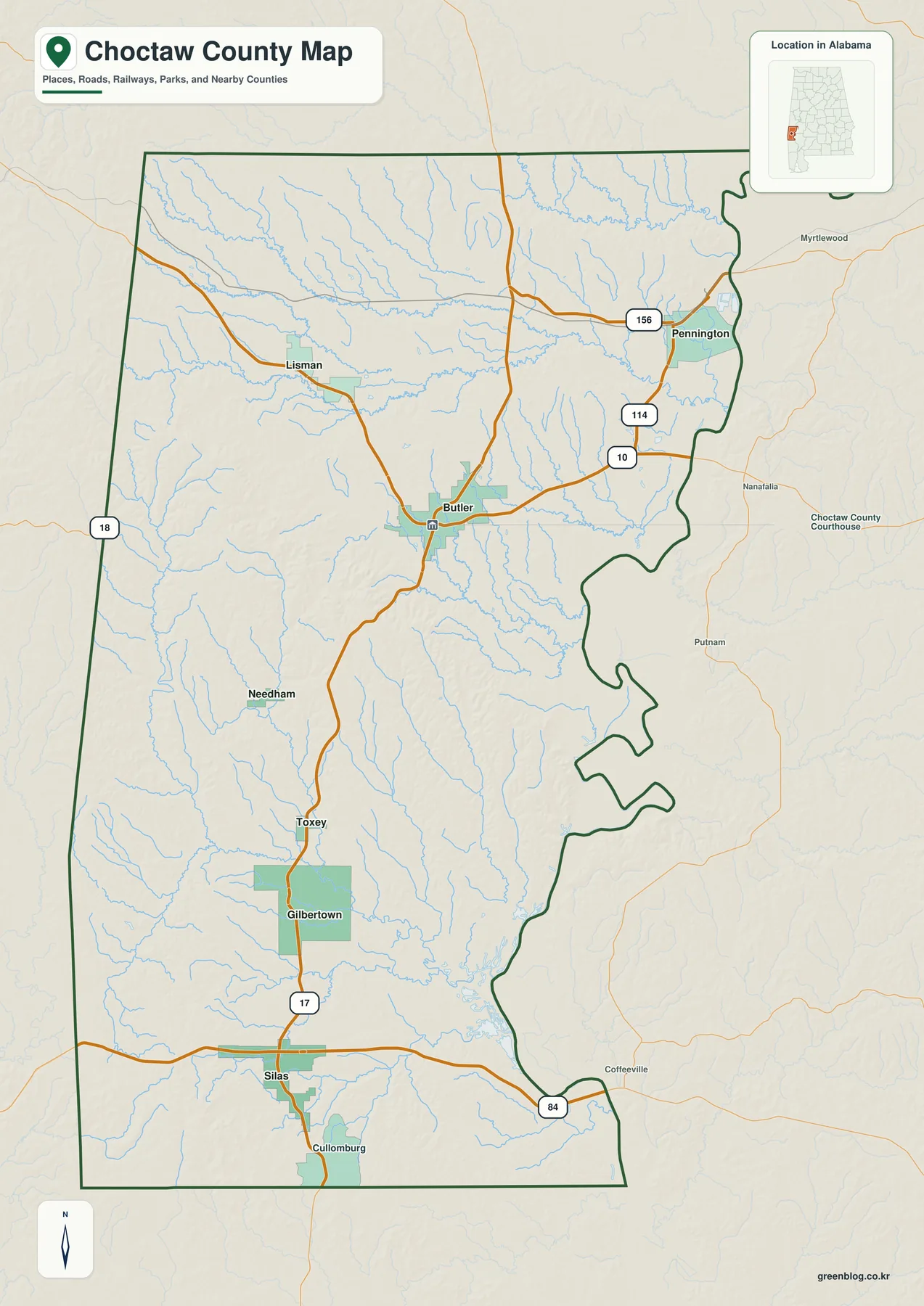
The western state line and eastern river system give the county two very different edges. Sumter County lies to the north, Marengo and Clarke are on the eastern side, and Washington County is to the south. Looking at these neighbors together with Butler and the highways provides a clearer regional picture than listing boundary directions alone.
Small towns are spread across a broad rural county
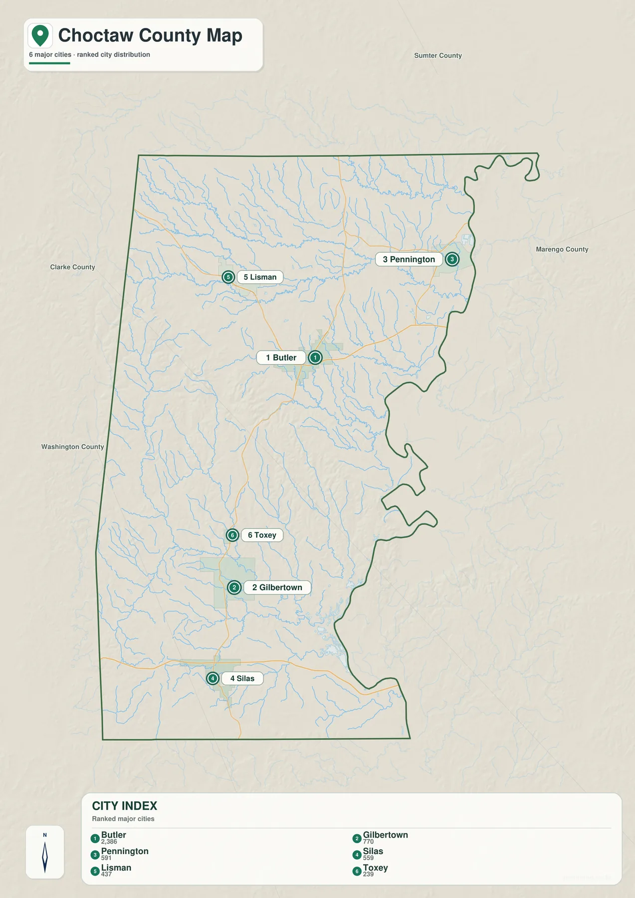
The city-focused map simplifies the view so Butler, Gilbertown, Silas, Toxey, Pennington, and Lisman can be compared without extra road detail. Butler sits near the center, Gilbertown and Silas are farther south, Toxey is toward the Mississippi side, Pennington is closer to the Tombigbee River, and Lisman is northeast of Butler.
This spread is important because Choctaw County does not function like a suburban county built around one large urban center. Forest and countryside separate the towns, and each community provides a different geographic reference. Connector lines or distance labels on the city graphic should be treated as straight-line comparisons rather than driving mileage; road travel can be longer because actual routes follow highways, local roads, and limited river crossings.
The Tombigbee River anchors a dense network of interior creeks
The Tombigbee River is the dominant water feature along the eastern side of Choctaw County. Farther inland, waterways such as Wahalak Creek, Big Tallawampa Creek, and Turkey Creek branch through forested valleys before joining larger drainage channels. The water map makes this network much easier to see than the general road view.
As the drainage approaches the Tombigbee, the landscape becomes lower and broader. Choctaw National Wildlife Refuge provides a useful example of the river environment, where bottomland habitat differs from the more elevated pine-covered interior. Smaller lakes and impoundments appear on the map as local features, but the main pattern is the transition from interior creeks to the large eastern river system.
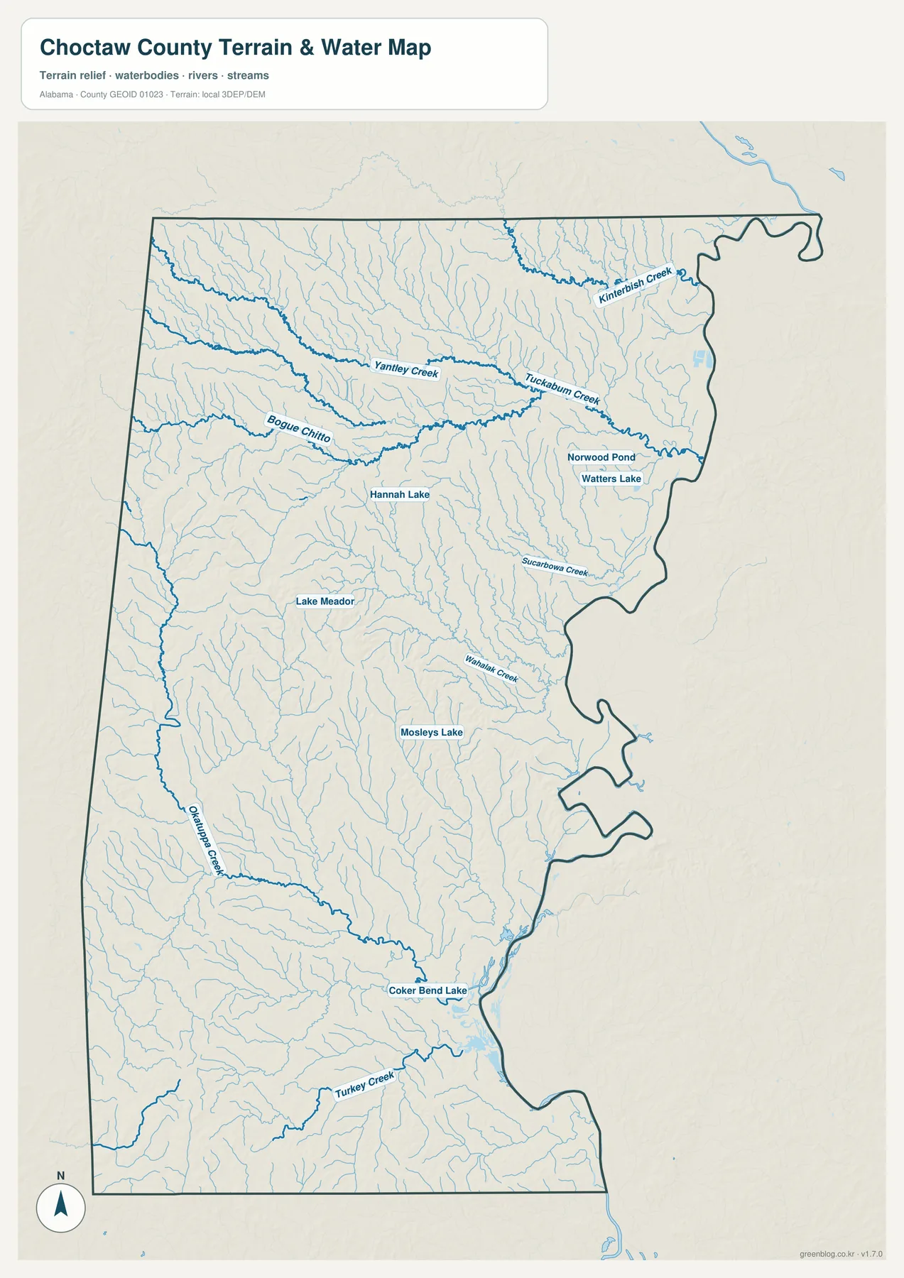
This is a geographic reference map rather than a flood, navigation, or property product. Flood zones, current water levels, legal water boundaries, boating restrictions, and parcel limits should be checked with the appropriate official sources.
Lower eastern river country contrasts with higher western uplands
The elevation view reveals one of the strongest physical contrasts in Choctaw County. Lower green-toned terrain spreads along much of the Tombigbee side, while warmer and darker colors become more common toward the west and southwest. The western interior is not mountainous, but it is more strongly rolling and dissected than the broad river lowlands.
Comparing this image with the water map explains much of the drainage pattern. Streams cut valleys through the higher interior and generally descend toward larger channels on the east. Near the Tombigbee, relief softens and broader low areas become more common. Roads and small communities sit within this changing terrain rather than on one uniform plain.
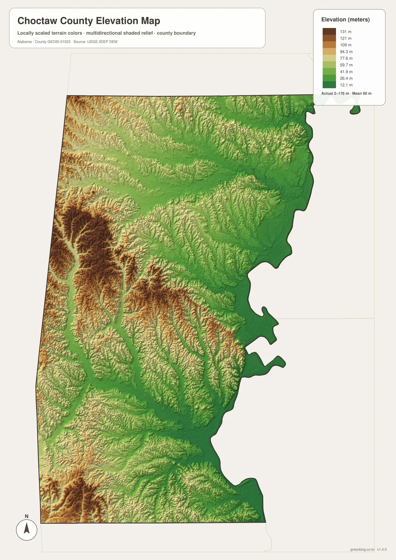
The elevation display is designed for broad county-wide comparison. It can help identify relative height, valleys, and rolling uplands, but it should not be used for engineering, drainage design, construction staking, or exact property elevations.
Choose the view that fits the information you need
For basic orientation, start with the county overview and locate Butler, U.S. 84, and Alabama 17. Use the city map when the goal is to compare the positions of Gilbertown, Silas, Toxey, Pennington, and Lisman. The water view is best for the Tombigbee River and interior creeks, while the elevation map provides the clearest comparison between river lowlands and western uplands.
- Roads and boundaries: locate Butler, major highways, the Mississippi line, and neighboring counties.
- Town placement: compare communities spread across the southern, western, and eastern parts of the county.
- Water: trace the Tombigbee River and named interior creeks.
- Terrain: compare lower eastern river country with more rolling ground toward the west.
This separation works well for classroom and presentation use because Choctaw County has more open rural space than dense urban development. Roads and towns can be explained without covering the page with stream labels, while the water and elevation views can focus on physical geography. Comparing the specialized maps also makes the relationship between forested uplands, creek valleys, and the Tombigbee side much easier to understand.
Download the Choctaw County A3 JPG map files
The ZIP below contains high-resolution JPG versions of the county, city, water, and elevation maps. The WebP images in the article are intended for quick browser viewing, while the larger JPG files are better suited to printing, classroom handouts, posters, presentations, and other offline uses.
Frequently Asked Questions
Are the city-map distances the same as driving distances?
No. The city view uses straight-line distance as a simple way to compare locations. Road mileage and travel time can differ substantially because actual routes follow highways, local roads, bridges, and river crossings.
Can the water map be used to identify flood zones?
No. It is a reference map for rivers, creeks, and other water features. Flood-risk decisions should be based on current FEMA products and any applicable county or state guidance rather than this general-purpose map.
What is included in the downloadable ZIP?
The archive contains four high-resolution A3 JPG images for the same county: a general county map, a city-location map, a water map, and an elevation map.
Map File Information
Download Choctaw County maps for roads, communities, waterways, and terrain.
- Included Files: county map, city map, water map, elevation map
- File Type: high-resolution JPG files in one ZIP
- Intended Use: printing, education, presentations, and regional reference
Related Maps
More Alabama County Maps
Sources and reference material
- Choctaw County official website
- Alabama Department of Transportation mapping resources
- Choctaw National Wildlife Refuge
- USGS National Hydrography
- USGS 3D Elevation Program
Green Map creates custom-edited map images using open geographic data sources such as geoBoundaries, Natural Earth, OpenStreetMap, and government open data. These maps are edited visual materials, not raw data files, and are provided for education, documents, presentations, and graphic reference.