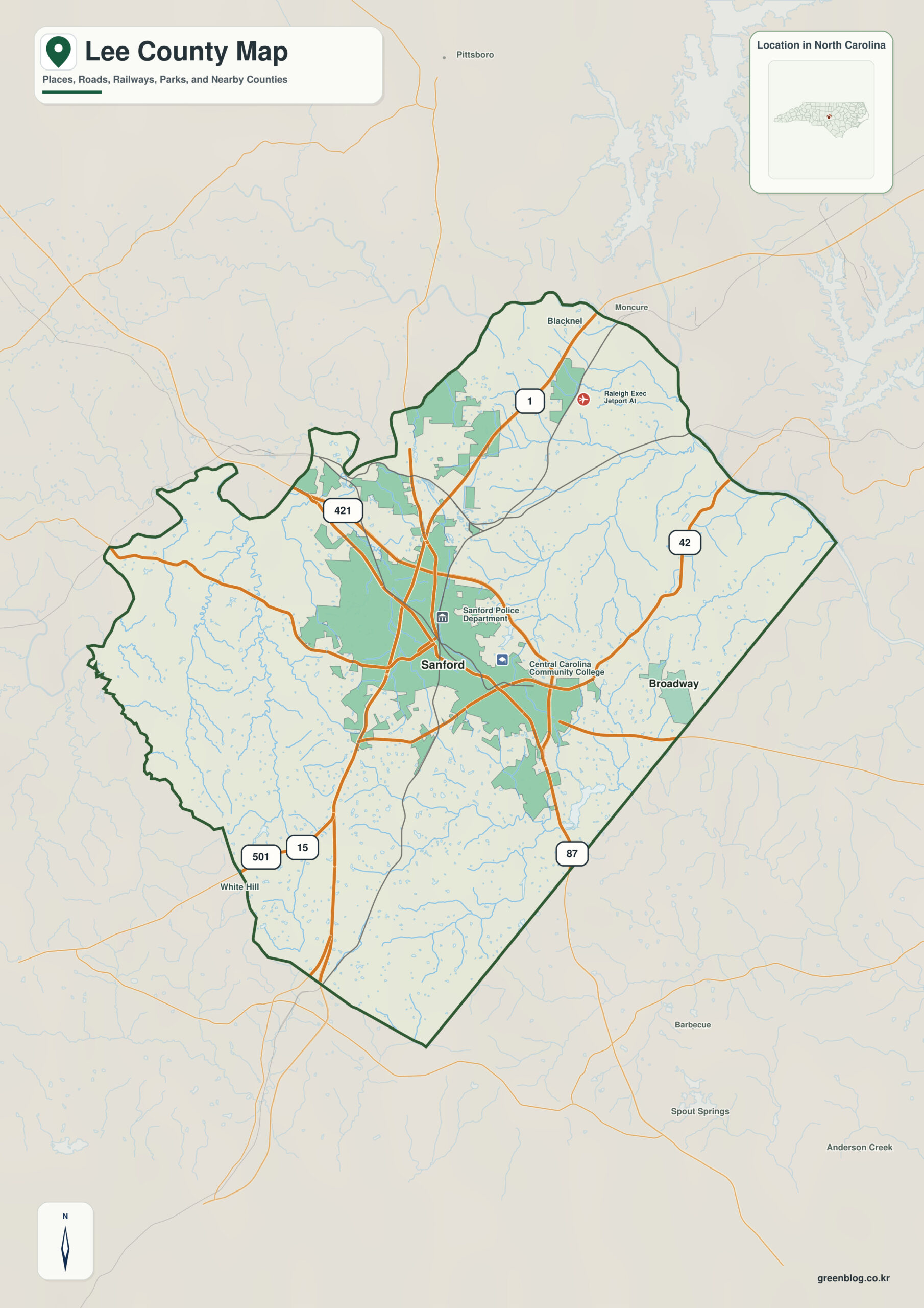
Lee County North Carolina map compresses a strong Sanford urban center and a distinct Deep River north into a relatively small area. Broadway and Cumnock are useful because they reveal outer zones that Sanford alone cannot represent.
Sanford, Broadway, and Cumnock do not need to perform the same map role. When Deep River and Cape Fear basin are treated as a second, physical layer, settlement pattern and natural geography remain clearly separated.
Lee County quick facts
- County seat: Sanford
- Place references: Sanford, Broadway, Cumnock
- Physical references: Deep River, Cape Fear basin
- Neighboring counties: Chatham, Harnett, Moore
Sanford dominates, but not everything
Sanford dominates the center, Broadway points east toward Harnett, and Cumnock marks the Deep River side to the north. Their separation shows that even compact Lee County contains more than one geographic setting.
Deep River and Broadway add outer references
Deep River relates the northern county to Chatham, while the southern and eastern sides transition toward Moore and Harnett. Reading those edges through drainage and terrain is more useful than treating Lee as a small urban circle.
A young county with older industrial geography
Lee County was formed from Moore and Chatham Counties in 1907, making it one of North Carolina’s younger counties. Sanford is the dominant center, but older mining and river communities provide distinct outer references.
This county is clearer when settlement references (Sanford, Broadway, Cumnock) and physical references (Deep River, Cape Fear basin) remain separate. The distinction improves both geographic interpretation and later use of demographic, transport, or recreation layers.
Orienting a compact Piedmont-transition county
Lee’s compact size makes it useful for quickly comparing Sanford with Broadway, Cumnock, and the Deep River corridor before switching to detailed local mapping.
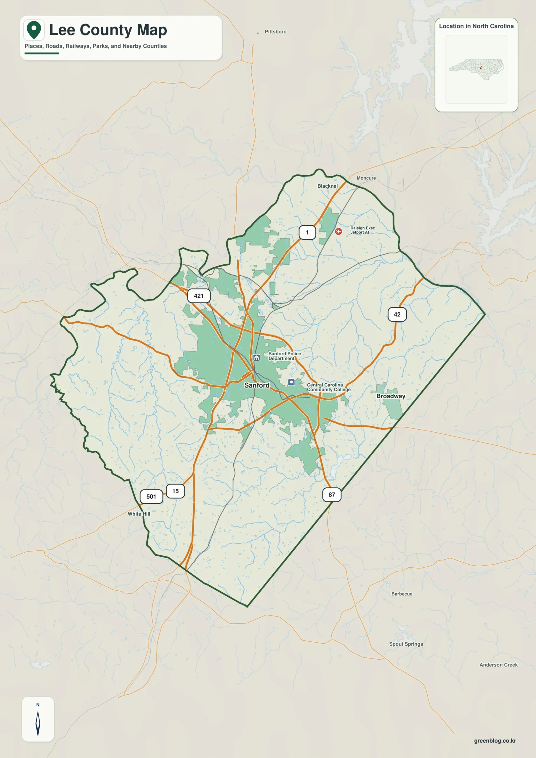
Lee County single map file
The image above is a web preview; the button is reserved for the separate original map asset.
Download the Lee County map fileFrequently Asked Questions
How does Deep River help divide the county into meaningful geographic zones?
The value of Deep River is that it explains physical orientation while the named communities explain settlement. Using both layers together produces a more accurate county-scale reading.
Why does Broadway deserve its own map reference?
Sanford and Broadway do not need to have the same administrative status to be equally useful for orientation. One marks the seat; the other helps represent a different part of the county.
Sources
Related County Maps
Green Map creates custom-edited map images using open geographic data sources such as geoBoundaries, Natural Earth, OpenStreetMap, and government open data.
These maps are edited visual materials, not raw data files, and are provided for education, documents, presentations, and graphic reference.