This Bailey County Texas map page introduces presents a western Panhandle county along the New Mexico border. Muleshoe is the county seat and transportation center, connected by U.S. Highways 70 and 84 and State Highways 214 and 298. The county occupies the Southern High Plains, where sandy soils, grassland, playas, and a prominent belt of sand hills shape the landscape. Settlement remained limited while the XIT Ranch controlled much of the land, then expanded as ranch property was divided and farming developed.
Table of Contents
Muleshoe on the western High Plains
Bailey County lies at a relatively high elevation near the New Mexico line. Muleshoe serves as the county’s administrative and commercial center, while highways connect farms and smaller communities across the plain. Playas and sand hills provide the most visible breaks in an otherwise broad and level landscape.
From XIT range land to farm country
The XIT Ranch held large portions of Bailey County during the late nineteenth century, delaying widespread settlement. After the ranch lands were sold, farming communities and transportation links developed more quickly. The county’s dry climate, elevation, and shorter growing season have continued to shape agriculture and water use.
Reading the county in color
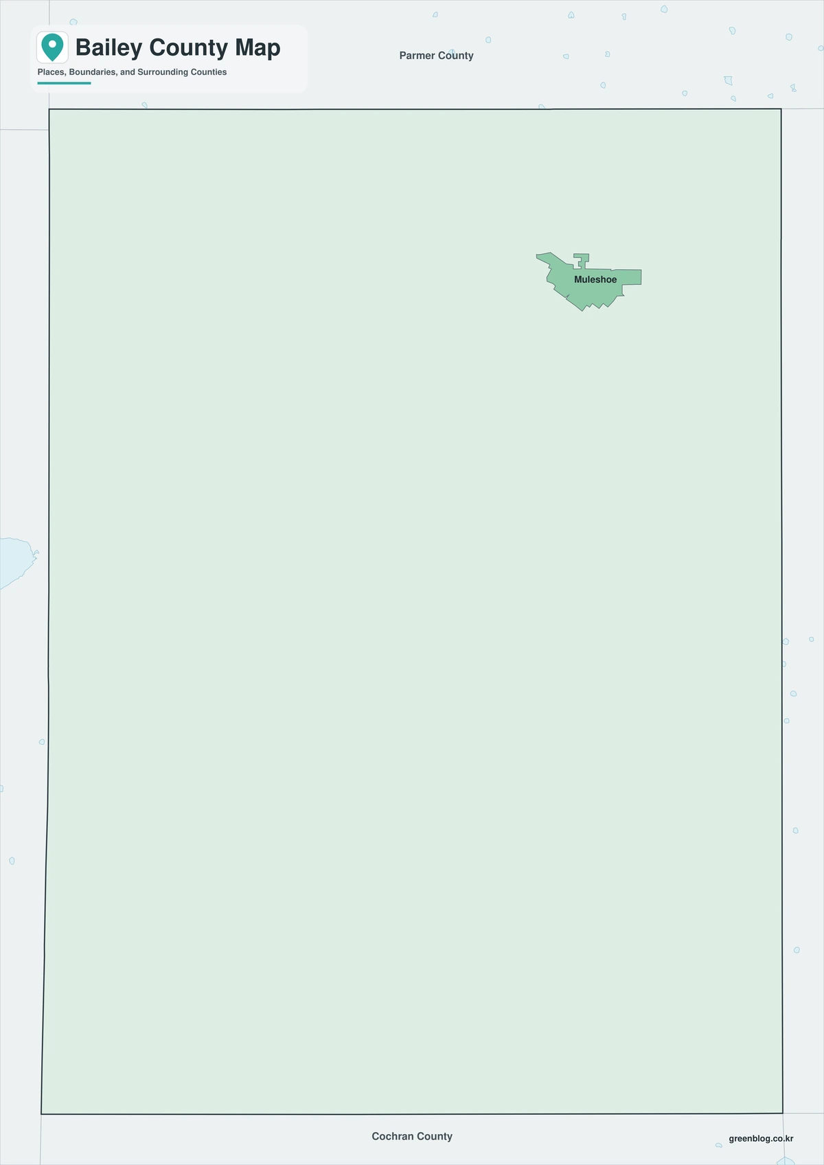
The color map separates the county from surrounding mapped areas and makes its overall form easy to identify. It is useful for introducing the location of Muleshoe and the county extent in a presentation or web page. Where water occupies a noticeable share of the area, the filled version also helps readers see how land and water shape the boundary.
A simplified map for documents
The black-and-white map keeps the county boundary and place reference without relying on color. It prints cleanly on an ordinary office printer and fits reports, worksheets, or copied handouts. The relationship between Muleshoe and the full county extent remains available without a colored background.
A blank boundary map to edit
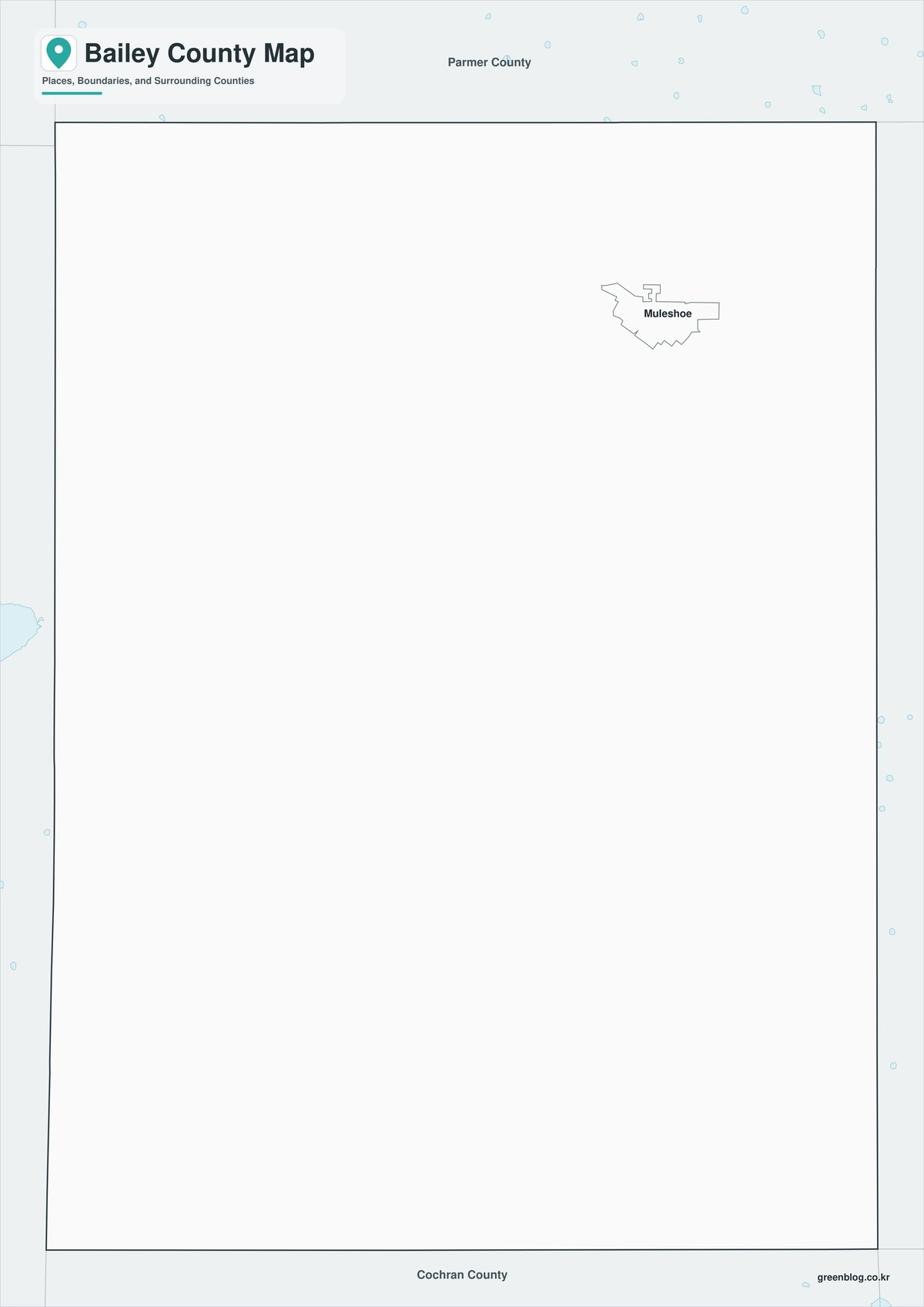
The outline edition is a base map for adding only the information a project requires. Users can mark Muleshoe, routes, study areas, numbered sites, or a custom legend without first removing existing color. It is better understood as a starting point for a new map than as a finished explanatory graphic.

Get the three A3 maps
The download consists of three A3 JPG files: color, black-and-white, and outline. Use color to view the Bailey County boundary, monochrome for paper output, or the outline to add locations and routes. All three cover the same geographic extent. For this county, Muleshoe is the administrative reference and 1876 is the creation year.
Bailey County, Texas Map Download
The ZIP package includes color, black-and-white, and outline maps. The guide below distinguishes the available versions and the projects they support.
- Map set: Color, black-and-white, and outline maps
- File format: Three high-resolution A3 JPG files in one ZIP
- Suggested uses: Screen reference, printing, worksheets, and custom editing
- Coverage: The complete boundary of Bailey County, Texas
The download is provided as a ZIP archive. The three versions become separate usable files after the ZIP is extracted.
Frequently Asked Questions
Where is the county seat?
The files use the official county boundary for Bailey County and are intended to show the county as one administrative area within Texas. Community labels are independent of the county edge, so users can customize place names without redrawing the outline.
Which map works best for a printed report?
The monochrome version is a reliable choice for reports, worksheets, and photocopied material. For slides and web pages, the color version is usually clearer; for custom mapping, start with the outline.
What is included in the ZIP package?
Yes. The color, monochrome, and outline maps can be opened as separate JPGs after extraction. The three-file arrangement supports immediate use, later revision, and reuse in different projects.
What can be added to the outline map?
Muleshoe is the county seat and is the clearest first reference for an administrative map. Communities, roads, work sites, and thematic values can be layered onto the outline for a custom result.
References
- U.S. Census Bureau
- 2024 Gazetteer Files
- Texas State Library: Counties and County Seats
- Texas Counties: Year Created and Organized
- Handbook of Texas: county history, geography, and economy
Related Maps
- Young County Texas map|Graham, Olney, Newcastle, and Possum Kingdom Lake
- Throckmorton County Texas map|Cow Country, Throckmorton, and the Brazos Forks
- Panola County Texas map|Carthage crossroads, Lake Murvaul, and East Texas pine country
- Travis County Texas map|Austin, Lake Travis, and the Colorado River
- Shelby County Texas map|Center, Sabine River, and the East Texas Borderlands
Green Map creates custom-edited map images using open geographic data sources such as geoBoundaries, Natural Earth, OpenStreetMap, and government open data.
These maps are edited visual materials, not raw data files, and are provided for education, documents, presentations, and graphic reference.