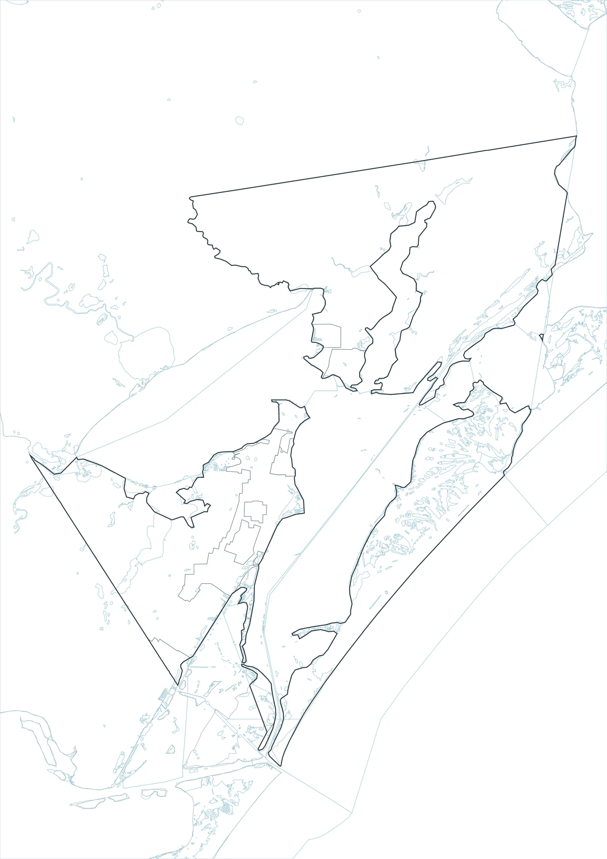
This Aransas County Texas map page introduces a Gulf Coast county whose identity depends as much on water as on land. Rockport is the county seat, while Live Oak Peninsula, Copano Bay, Aransas Bay, and nearby islands define the local geography. Ports, fishing, maritime trade, and coastal tourism have shaped settlement far more than inland farming patterns. The map is easiest to understand when the shoreline, bays, and peninsula are read together.
Table of Contents
Rockport and the surrounding bays
Aransas County occupies a compact coastal setting built around Live Oak Peninsula and adjacent bay waters. Rockport serves as the administrative and commercial center, while Copano and Aransas bays frame much of the county. The broken shoreline and island geography make the county’s map visibly different from the rectangular or river-bounded counties of inland Texas.
A history built around ports and the coast
Port settlements appeared in the area during the Spanish, Mexican, and Republic periods, including Aransas City, Lamar, and St. Mary’s of Aransas. Although several early towns declined, maritime trade continued to influence later development. Rockport’s growth, commercial fishing, boating, and coastal tourism all reflect the county’s long relationship with the Gulf.
Using color to separate boundaries
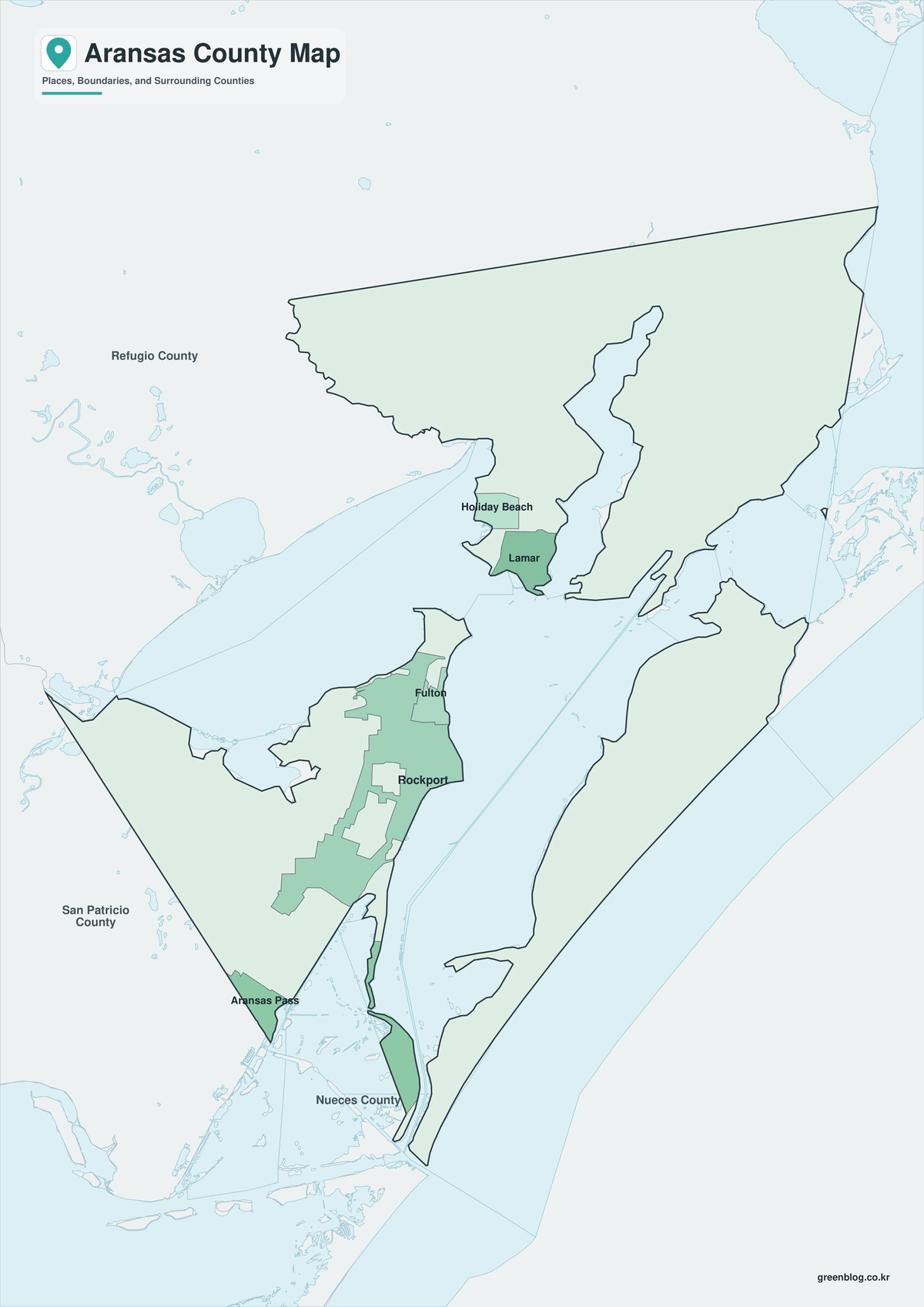
Color is most helpful when the reader needs to find the county quickly. The map distinguishes the full boundary while retaining Rockport as a useful administrative reference. It is a practical choice for web content, slides, or any page where the location must be understood at a glance.
Print-friendly map details
The print-friendly map focuses on boundary and label clarity. It shows the county and Rockport without depending on color, making it suitable for reports, photocopies, and worksheets. Additional notes can still be written or drawn on the printed page.
Custom mapping on a clean outline
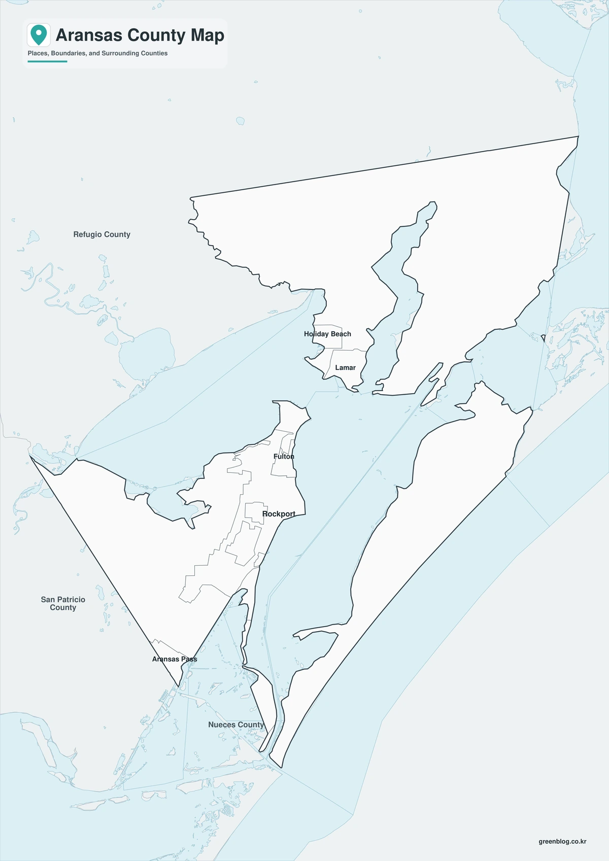
A blank boundary is more efficient when the final map needs a specific set of labels. The outline edition can be used to place Rockport, route numbers, study zones, or a custom legend. It avoids the awkward step of deleting information from an already completed map.
Download the ZIP map set
The ZIP below contains one color, one black-and-white, and one outline A3 JPG map of Aransas County. Select color for screen reference, monochrome for routine printing, or the outline when adding Rockport and project information. Each map becomes a separate working file after extraction.
Aransas County, Texas Map Download
The ZIP package includes color, black-and-white, and outline maps. Review how the three formats differ before choosing the map that suits the task.
- Map set: Color, black-and-white, and outline maps
- File format: Three high-resolution A3 JPG files in one ZIP
- Suggested uses: Screen reference, printing, worksheets, and custom editing
- Coverage: The complete boundary of Aransas County, Texas
The download is provided as a ZIP archive. Unzip the archive to work with the three JPG map files separately.
Frequently Asked Questions
Where is the county seat?
The files use the official county boundary for Aransas County and are intended to show the county as one administrative area within Texas. Local labels can be edited independently because the county outline is not defined by the county seat or any single town.
Which map works best for a printed report?
The print edition preserves readable boundaries and place labels even when a document is reproduced without color. Presentations generally benefit from the color version; mapping projects that require new symbols or routes are better served by the outline.
What is included in the ZIP package?
Yes. The archive contains one color JPG, one black-and-white JPG, and one outline JPG. The separate-file structure supports different uses without requiring the unused versions to be modified.
What can be added to the outline map?
Rockport is the county seat and is the clearest first reference for an administrative map. The open map can be customized with communities, roads, sites, categories, or other project-specific information.
References
- U.S. Census Bureau
- 2024 Gazetteer Files
- Texas State Library: Counties and County Seats
- Texas Counties: Year Created and Organized
- Handbook of Texas: county history, geography, and economy
Related Maps
- Motley County Texas map|Matador Ranch country, Roaring Springs, and Rolling Plains roads
- Val Verde County Texas map|Del Rio, Lake Amistad, and Devils River
- Ward County Texas map|Monahans, Barstow, and Monahans Sandhills
- Pecos County Texas map|Fort Stockton, oil towns, and long West Texas distances
- Ochiltree County Texas map|Perryton, High Plains farming, and the Oklahoma line
Green Map creates custom-edited map images using open geographic data sources such as geoBoundaries, Natural Earth, OpenStreetMap, and government open data.
These maps are edited visual materials, not raw data files, and are provided for education, documents, presentations, and graphic reference.