Angelina County Texas map download | color, black-and-white, and outline maps

This Angelina County Texas map page introduces places the downloadable maps in the context of an East Texas county shaped by forests and railroads. Lufkin is the county seat and principal city, serving as the hub for communities spread through pine and hardwood country. Livestock supported many early residents, but railroad construction opened the timberlands to large-scale lumber production. That transition made forestry, milling, and transportation central to the county’s development.

Lufkin at the center of the timberlands

Angelina County lies in the forested part of East Texas, where longleaf and loblolly pine once supported an enormous timber reserve. Lufkin became the county’s main service and transportation center as several rail lines converged there. The city’s location helped connect outlying mill towns, farms, and wooded tracts to regional markets.

How lumber reshaped the county

Railroad construction in the 1880s made commercial logging practical on a much larger scale. Sawmills and lumber companies multiplied, and the county’s population rose with the new industrial jobs. Forestry remains one of the clearest ways to understand Angelina County’s landscape, settlement pattern, and historical economy.

What the color map shows

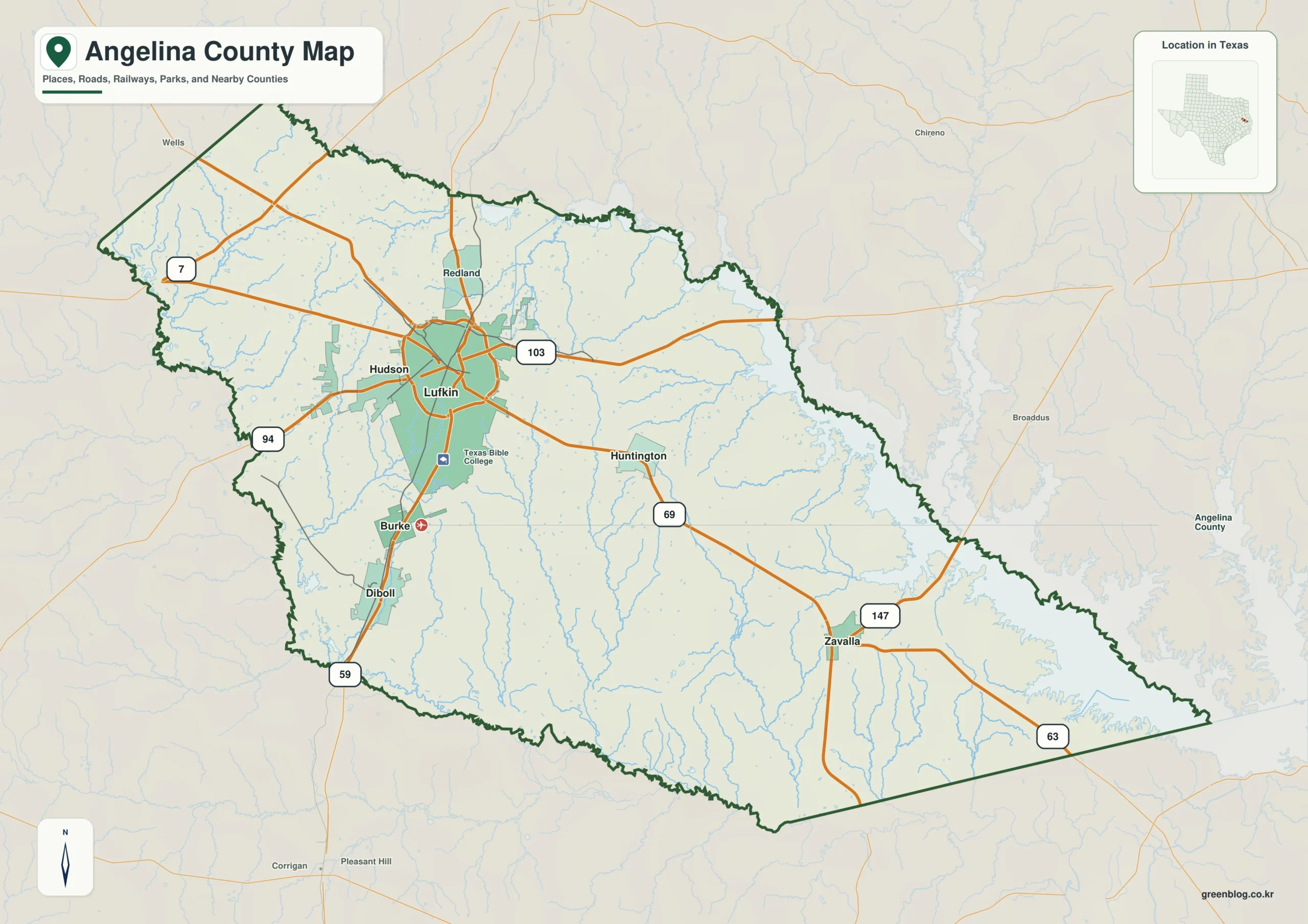
The filled map gives the clearest first look at the county’s position and extent. Lufkin can be used as the administrative reference point while the colored boundary shows the larger county area. This version is best suited to screens, presentations, and introductory graphics.

Color map of Angelina County, Texas
Color county boundary map of Angelina County

Black-and-white map for print

This version replaces color fills with linework and tonal contrast. The county form and the location of Lufkin remain readable in reports or classroom pages. It is especially useful when multiple copies are needed or when color is not part of the document design.

Black-and-white map of Angelina County, Texas
Printable black-and-white map of Angelina County

Outline map for custom labels

The outline file removes most explanatory elements and leaves the boundary ready for annotation. Lufkin, selected communities, travel routes, or survey points can be added on a copy of the original. Keeping one untouched file makes it easier to create several different versions.

Outline map of Angelina County, Texas
Blank county boundary map for custom labels

Download the map files

One ZIP provides the complete Angelina County set. The archive contains separate A3 color, black-and-white, and outline JPGs; use the previews and filenames to identify the needed version. The same package supports both a finished reference and custom work involving Lufkin.

Angelina County, Texas Map Download

The ZIP package includes color, black-and-white, and outline maps. Compare the formats and use cases below, then select the version that best matches the project.

  • Map set: Color, black-and-white, and outline maps
  • File format: Three high-resolution A3 JPG files in one ZIP
  • Suggested uses: Screen reference, printing, worksheets, and custom editing
  • Coverage: The complete boundary of Angelina County, Texas

The download is provided as a ZIP archive. Extract the ZIP to open each of the three map versions as a separate file.

Frequently Asked Questions

Where is the county seat?

The files use the official county boundary for Angelina County and are intended to show the county as one administrative area within Texas. The county outline remains separate from the county-seat marker and other local labels, allowing names to be added without altering the boundary.

Which map works best for a printed report?

The black-and-white edition works well in printed reports because its boundary and labels remain clear without color. The color map is suited to presentations, while the outline map provides open space for notes, routes, categories, and data symbols.

What is included in the ZIP package?

Yes. The ZIP includes individual JPG files for the color, black-and-white, and outline maps. Separate files let you place one version in a document while keeping the others available for later editing.

What can be added to the outline map?

Lufkin is the county seat and is the clearest first reference for an administrative map. Users can then add selected communities, roads, project locations, or thematic data to match the final purpose.

References

Green Map creates custom-edited map images using open geographic data sources such as geoBoundaries, Natural Earth, OpenStreetMap, and government open data.

These maps are edited visual materials, not raw data files, and are provided for education, documents, presentations, and graphic reference.
Leave a Comment

Your email address will not be published. Required fields are marked *

Scroll to Top