Rugged limestone hills distinguish this county from the flatter urban fringe east of Mineral Wells. The Palo Pinto County Texas map places the county seat of Palo Pinto between the larger Mineral Wells area and the Brazos River canyon country surrounding Possum Kingdom Lake. Graford, Strawn, Gordon, and Mingus add northern and southern reference points across a 952.55-square-mile land area.
The 2024 estimated population was 30,231, up 6.3 percent from 2020. Settlement is distributed among a regional service city, several small towns, lake communities, ranches, and recreation areas. The map set preserves those distances rather than presenting the county as a single continuous urban district.
- Continent: North America
- Country: United States
- State: Texas
- County: Palo Pinto County
- Location in State: North-central Texas, west of Fort Worth in the Brazos River hill country
- Adjacent Counties: Young County, Jack County, Parker County, Hood County, Erath County, Eastland County, Stephens County
- Major Places: Palo Pinto, Mineral Wells, Graford, Strawn, Gordon, Mingus
- Geographic Features: Brazos River, Possum Kingdom Lake, Palo Pinto Mountains, Palo Pinto Reservoir
Table of Contents
Possum Kingdom transformed a canyon reach of the Brazos
Possum Kingdom Reservoir was impounded in 1941 on the Brazos River and covers 15,588 acres in Palo Pinto and Young counties. Its deep coves, steep shorelines, and clear water support fishing, boating, camping, and lake-oriented housing. The reservoir also serves flood-control, municipal-water, industrial-water, and recreation purposes.
Possum Kingdom State Park occupies more than 1,500 acres beside the lake in northwestern Palo Pinto County. Texas Parks and Wildlife describes the setting as rugged canyon country within the Palo Pinto Mountains and Brazos River Valley. Graford and State Highway 16 provide important orientation for reaching the lake area from the county’s eastern communities.
Mineral Wells is the service center, not the county seat
Palo Pinto is the official county seat and contains the courthouse, but Mineral Wells is the largest city and the principal center for retail, health care, education, and regional services. This division is important when using addresses or searching for county offices.
Mineral Wells developed around mineral-water tourism and later expanded through transportation, military, and commercial activity. U.S. 180 links it with Palo Pinto and Breckenridge to the west and with Weatherford and the Fort Worth area to the east.
Southern towns follow a different transportation corridor
Strawn, Mingus, and Gordon occupy the county’s southern section near the Interstate 20 corridor. Their history includes ranching, rail service, coal mining, and small-town commerce rather than the lake recreation that characterizes the northwest.
Strawn faces Eastland County, while Gordon lies closer to Erath and Hood counties. These communities show why county travel cannot be understood through Mineral Wells alone: the southern edge connects more directly with I-20 destinations and neighboring rural counties.
The Palo Pinto Mountains influence road distance
The Palo Pinto Mountains are not a high alpine range, but their escarpments, mesas, limestone ridges, and river-cut valleys create pronounced relief for north-central Texas. Roads frequently follow valleys or cross narrow ridges, so travel time may exceed what a straight-line map distance suggests.
U.S. 281 supplies a north-south route through Mineral Wells, U.S. 180 provides the central east-west corridor, and State Highway 16 leads toward Graford and Possum Kingdom. FM 4 links Palo Pinto with northern rural areas and has been the subject of a TxDOT feasibility study.
Population growth remains geographically uneven
Population increased from 28,450 in 2020 to 30,231 in 2024, a gain of 1,781 residents. Growth can reflect access to the western Dallas–Fort Worth region, housing around Mineral Wells, and demand for lake or rural property.
A Palo Pinto County Texas map helps separate those patterns. Mineral Wells forms the largest concentration, lake communities line portions of Possum Kingdom, and the southern towns remain distinct from both the central courthouse area and the northwestern recreation district.
Color Map
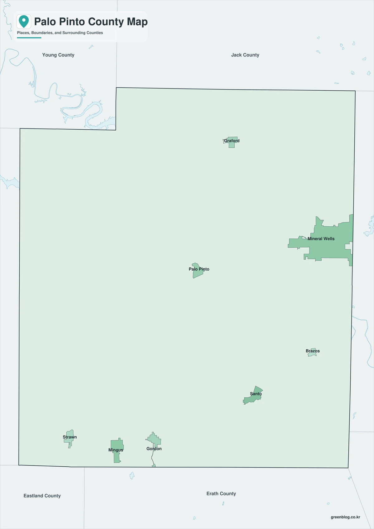
The color edition separates Palo Pinto County from Young and Jack counties in the north and from Parker, Hood, Erath, Eastland, and Stephens counties around the other sides. Mineral Wells anchors the east, Palo Pinto marks the central courthouse area, and Graford provides the approach to Possum Kingdom Lake. Strawn, Mingus, and Gordon form a separate southern line of communities. The irregular lake and river setting contrasts with the county’s straighter administrative borders.
Black-and-White Map
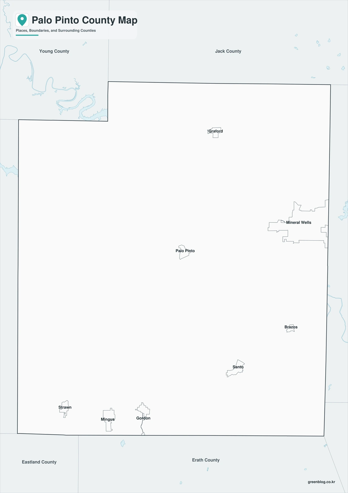
The monochrome version retains selected place names and boundary lines without colored fills. Users can trace U.S. 180 between Mineral Wells and Palo Pinto, mark State Highway 16 toward Graford, or compare the southern towns with Interstate 20. The open background is suitable for mileage notes, route plans, and printed reports.
Outline Map
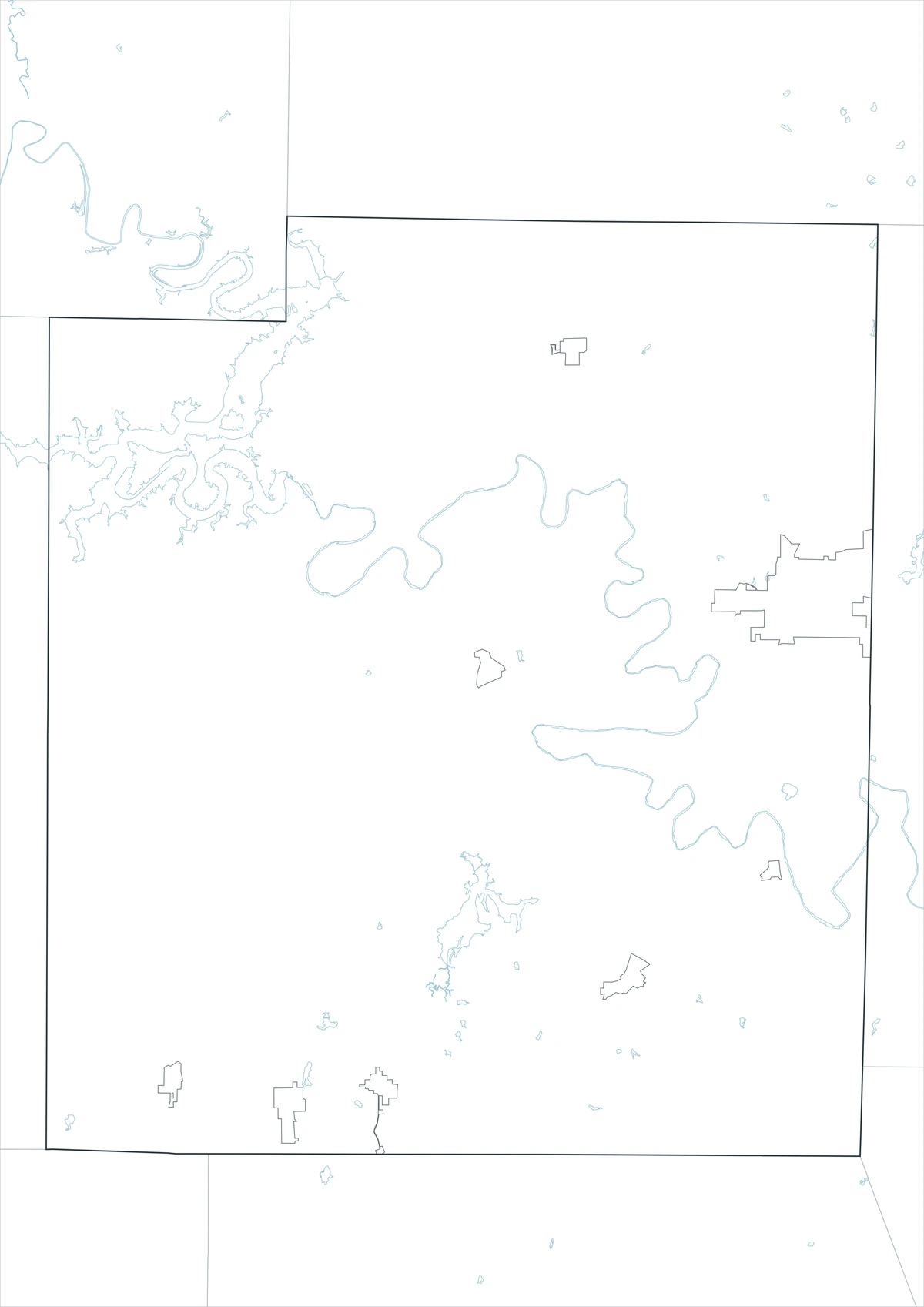
The outline file removes names and area colors, leaving the county perimeter and included internal linework. It can be labeled with the Brazos River, Possum Kingdom Lake, Mineral Wells, Palo Pinto, and Strawn. Users may also add U.S. 180, U.S. 281, State Highway 16, or the seven surrounding counties.
Download the printable county maps
The A3 JPG package contains color, black-and-white, and outline editions. The labeled maps support quick regional reference, while the blank edition is designed for custom routes, lake notes, classroom work, and document graphics.
County Map File Information
The download includes three Palo Pinto County map styles. Selected place names appear on the color and monochrome editions, while the outline edition retains boundary linework without labels or area fills.
- Included Versions: Color, Black and White, Outline
- File Type: JPG
- Printable Size: A3
- Map Coverage: County perimeter, included internal boundaries, neighboring county context
- Suggested Uses: Printing, lessons, reports, lake-trip notes, route planning, and custom labels
Frequently Asked Questions
Is Mineral Wells the county seat?
No. Palo Pinto is the county seat. Mineral Wells is the county’s largest city and main regional service center.
Does Possum Kingdom Lake lie entirely in Palo Pinto County?
No. The reservoir extends through Palo Pinto and Young counties along the Brazos River.
Which routes are useful for crossing the county?
U.S. 180 is the main central east-west route, U.S. 281 serves the Mineral Wells area, and State Highway 16 leads north toward Graford and Possum Kingdom.
Official data and regional references
- U.S. Census Bureau QuickFacts — Federal population and geographic statistics used for the county profile.
- Texas Parks and Wildlife: Possum Kingdom Reservoir — Official lake size, depth, location, and impoundment information.
- Possum Kingdom State Park — State information on recreation and the rugged Brazos River canyon setting.
- Texas Parks and Wildlife: Palo Pinto Reservoir — Official location and characteristics of the county’s smaller reservoir.
- TxDOT FM 4 Feasibility Study — Transportation context for the corridor north of U.S. 180 in Palo Pinto County.
Related Maps
- Polk County Texas map|Lake Livingston communities and the Piney Woods
- Webb County Texas map|Laredo, Rio Bravo, and the Rio Grande
- Rockwall County Texas map|Lake Ray Hubbard, I-30, and fast-growing communities
- Sherman County Texas map|Stratford, Texhoma, and the High Plains Border
- Titus County Texas map|Mount Pleasant, Pine Country, and Two Lakes
Green Map creates custom-edited map images using open geographic data sources such as geoBoundaries, Natural Earth, OpenStreetMap, and government open data.
These maps are edited visual materials, not raw data files, and are provided for education, documents, presentations, and graphic reference.