A courthouse town sits inland from one of the largest reservoirs in the South, while pine forests, bayous, and small mill communities occupy the rest of the county. A Sabine County Texas map helps distinguish Hemphill’s civic role from the timber history of Pineland and Bronson and from the long recreational shoreline of Toledo Bend Reservoir. The eastern boundary follows water rather than a simple straight line, giving the county a shape closely tied to the Sabine River.
The Census Bureau estimated 10,012 residents on July 1, 2025, 1.1 percent above the 2020 estimate base of 9,900. Hemphill contains the county courthouse and many services, but forestry, lake recreation, rural housing, and public land spread economic activity across a much larger area.
Table of Contents
An Original Republic-Era County Shifted Its Seat Inland
Sabine County was organized in 1837 as one of the early counties of the Republic of Texas and took its name from the Sabine River. Milam served as an early county seat near older travel and settlement routes. Residents later selected Hemphill, and a courthouse completed in 1858 established a more central administrative location.
Farms, ferry crossings, and creek valleys supported the first settlements. Rail connections and sawmills later encouraged the growth of Pineland, Bronson, and other communities closer to timber resources. The present map therefore records several layers of development: river-border history, an inland courthouse town, and industrial settlements tied to the pine woods.
Toledo Bend Replaced a River Edge with a Reservoir Coast
Toledo Bend Reservoir impounds the Sabine River along the Texas–Louisiana line. The lake covers about 181,600 acres, reaches a maximum depth of 110 feet, and was impounded in 1967. Sabine County occupies a central portion of the Texas shoreline, while the reservoir also touches Shelby and Newton counties.
Drowned creek valleys form long coves around Patroon, Palo Gauche, Housen, and other bayous. Marinas, launch sites, fishing camps, vacation homes, and public recreation areas developed along the irregular shore. Water levels and access conditions can change, so a county reference map should not be used as a current navigation or boat-ramp guide.
Pine Woods Shaped Industry and Habitat
The county lies in the East Texas Redlands, where longleaf and loblolly pine mix with oak and hickory. Sabine National Forest occupies substantial tracts, and private timberland fills many areas outside towns and lake developments. The terrain ranges from gently rolling uplands to creek bottoms, with elevations generally low compared with western Texas.
Logging, sawmilling, and wood products became central to the local economy after rail service reached forest communities. Modern land use also includes hunting leases, wildlife habitat, grazing, public recreation, and rural residences. Forest boundaries are not identical to county lines, and active timber ownership cannot be inferred from a general map.
Hemphill Connects Highways, Services, and Lake Access
State Highway 87 passes through Hemphill on a north–south route between Shelby and Newton counties. State Highway 184 approaches from San Augustine County and continues east toward Toledo Bend access areas. This junction places the county seat between inland timber communities and the reservoir corridor.
Pineland provides a western reference, Bronson marks the southwest, and Milam and Geneva help orient the northern half. The settlements are separated by forest and rural roads rather than joined by continuous development. For that reason, highway direction, neighboring counties, and water features are especially useful when reading the county.
County Orientation List
- County seat: Hemphill
- Western timber center: Pineland
- Southwestern community: Bronson
- Eastern boundary: Toledo Bend Reservoir and the Sabine River system
- Public forest: Large portions of Sabine National Forest
- Adjacent Texas counties: Shelby, San Augustine, Jasper, and Newton
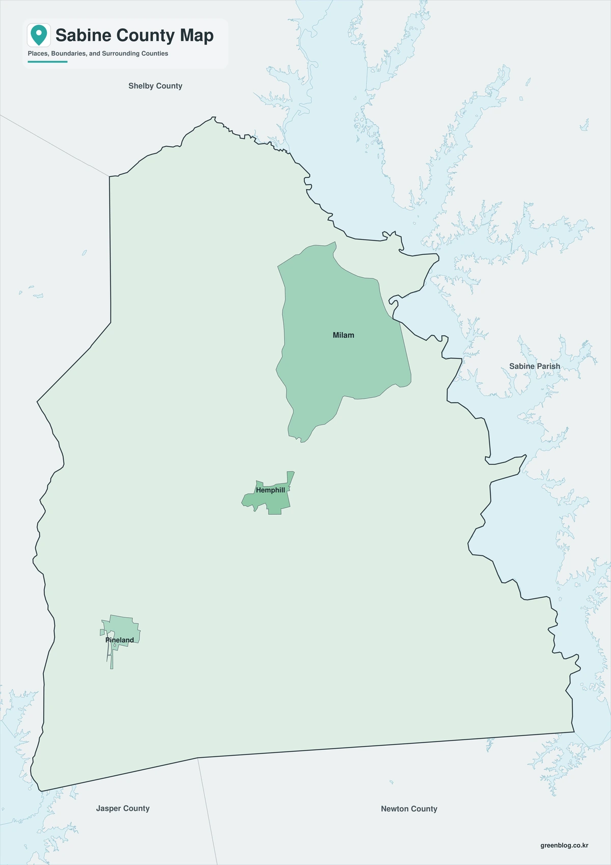
Color Map
The color map separates Sabine County from Newton, Jasper, San Augustine, and Shelby counties while keeping the reservoir edge distinct. Bronson and Pineland provide southern and western references, and Hemphill anchors the interior highway network. Toledo Bend Reservoir and the Sabine River corridor show how water, rather than a straight survey line, defines much of the Louisiana-facing side.
Black-and-White Map
Colored fills are removed, but selected labels, the county outline, and neighboring boundaries remain. Geneva and Milam can be compared with Hemphill in the northern half, while the reservoir side remains recognizable from its irregular edge. The format is suited to low-ink printing, reports, and worksheets.
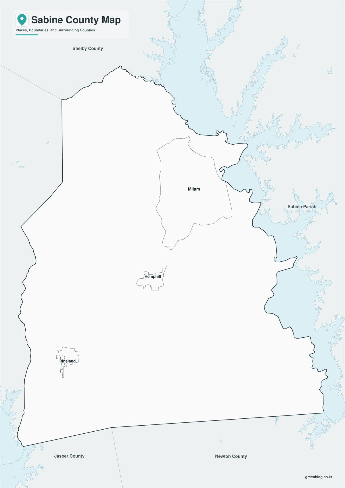
Outline Map
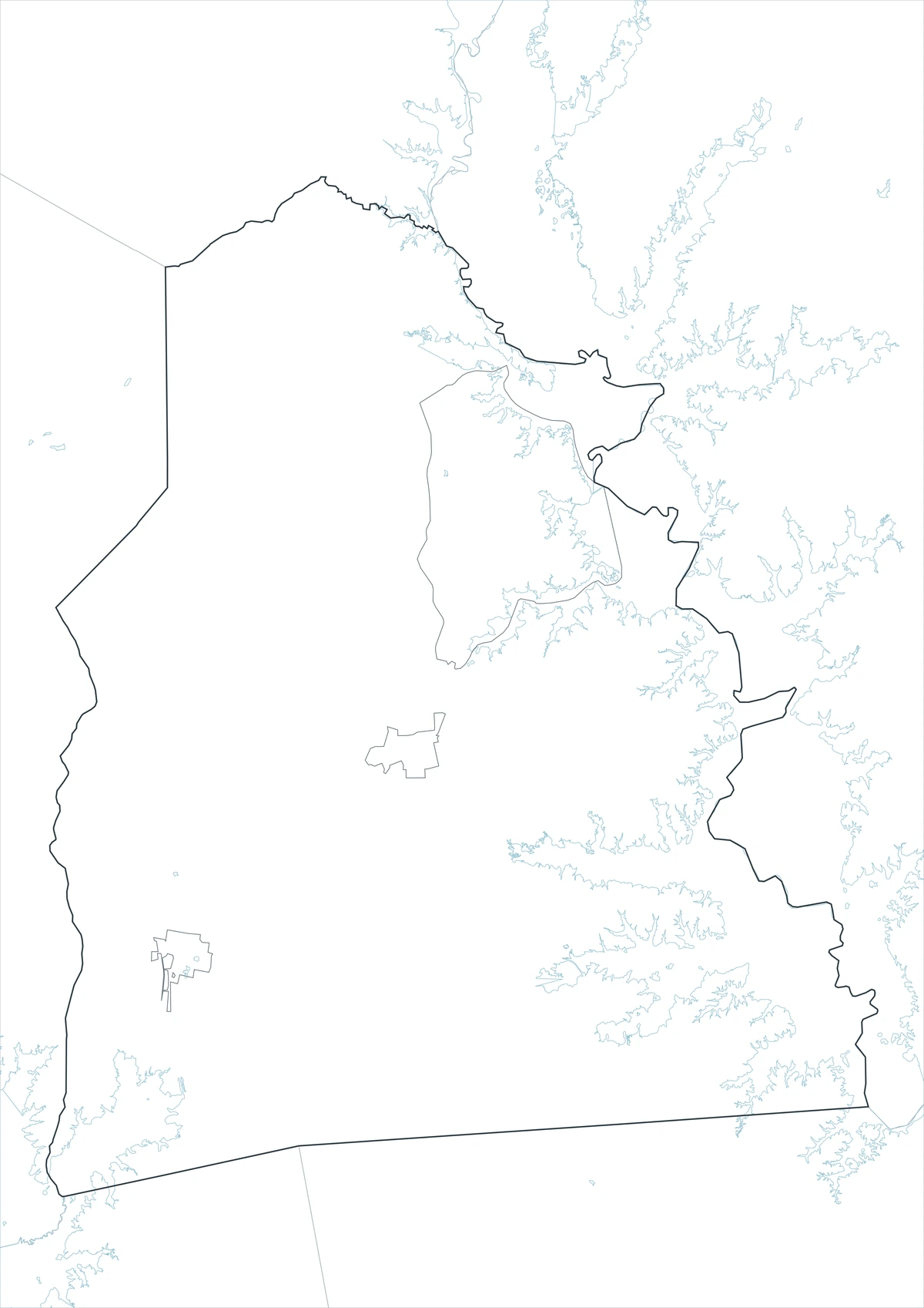
The outline version removes labels and color, leaving Sabine County and the surrounding boundary framework. Users can add Hemphill and Bronson, trace Toledo Bend Reservoir, or mark State Highways 87 and 184. The blank base also supports custom forest, watershed, tourism, or settlement-distribution projects.
Download the Sabine County Map Set
The Sabine County Texas map set contains labeled color and monochrome files plus an unlabeled outline base. Each JPG uses an A3 layout for printing, presentations, classroom work, and digital documents.
County Map File Information
This download includes three A3 JPG versions of the Sabine County map. The labeled maps use selected place names for readability, while the outline version contains boundary lines without labels or color fills.
- Included Versions: Color, Black and White, Outline
- File Type: JPG
- Printable Size: A3 high-resolution layout
- Map Detail: County boundary, selected place boundaries, and surrounding county reference
- Intended Use: Printing, classroom materials, presentations, documents, blog graphics, and custom annotations
Frequently Asked Questions
Why does the eastern county line look so irregular?
The boundary follows the Sabine River system and the coves of Toledo Bend Reservoir. Flooded tributary valleys create a much more complex shoreline than a straight land survey line.
Which town is the best reference for reaching lake areas?
Hemphill is the central highway and service reference, but individual marinas and recreation sites may be reached from different farm-to-market roads. A current access map is needed for a specific launch or campground.
Does the map show exact national forest ownership?
No. The county map provides general geographic context. Exact federal parcels, private inholdings, timber tracts, and recreation boundaries require current U.S. Forest Service or land-management maps.
Sources and Further Reading
The Handbook of Texas entry for Sabine County provides the county’s formation history, physical geography, watercourses, soils, and forest economy.
Texas Parks and Wildlife Department supplies official Toledo Bend Reservoir characteristics, including surface area, depth, impoundment date, and recreation information.
U.S. Census Bureau QuickFacts provides the 2020 population base, 2025 estimate, and recent percentage change.
Regional Information
Continent: North America
Country: United States
State: Texas
County: Sabine County
Location in State: East Texas on the Louisiana border
Adjacent Counties: Shelby County, San Augustine County, Jasper County, Newton County
Major Places: Hemphill, Pineland, Bronson, Geneva, Milam
Geographic Features: Toledo Bend Reservoir, Sabine River, Sabine National Forest, Patroon Bayou
Related Maps
- Young County Texas map|Graham, Olney, Newcastle, and Possum Kingdom Lake
- Waller County Texas map|Hempstead, Prairie View, and the Brazos River
- Upton County Texas map|Rankin, McCamey, and West Texas Oil Country
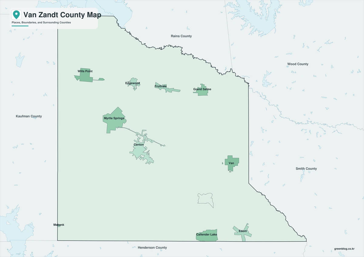
- Van Zandt County Texas map|Canton, Grand Saline, Van, and Lake Tawakoni
- Willacy County Texas map|Raymondville, Port Mansfield, and Laguna Madre
Green Map creates custom-edited map images using open geographic data sources such as geoBoundaries, Natural Earth, OpenStreetMap, and government open data.
These maps are edited visual materials, not raw data files, and are provided for education, documents, presentations, and graphic reference.