A limestone courthouse town, an abandoned frontier post, Hereford ranches, oil leases, and creeks feeding the Clear Fork define this compact West Texas county. A Shackelford County Texas map uses Albany as the central anchor while Moran, Lueders, Fort Griffin, and the river system explain the surrounding landscape.
The Census Bureau estimated 3,197 residents on July 1, 2025, 3.0 percent above the 2020 estimate base of 3,105. The population is small, but ranching, heritage tourism, oil production, and regional services give the county several distinct geographic layers.
Table of Contents
Frontier Traffic Gathered at Fort Griffin
Fort Griffin was established in 1867 on a hill above the Clear Fork. A civilian settlement known as the Flat grew below it and became a supply point for buffalo hunters, soldiers, cattle drovers, and travelers on the Western Trail.
The community briefly served as temporary county seat in 1874. Its military and commercial importance has declined since the fort closed and Albany gained railroad access, but the site still stands as a strong historical landmark in the county.
Albany Built a Lasting Civic Center
Residents selected Albany as permanent county seat in November 1874. The town grew around government, trade, schools, cattle shipping, and the Texas Central Railroad, which arrived in 1881.
The 1883 limestone courthouse and 1878 jail remain central architectural landmarks. The Old Jail Art Center later transformed the former jail into a museum with art collections far beyond what visitors might expect in a small ranching town.
Hereford Cattle Became a Local Identity
Cattle and sheep raising dominated the early economy. Albany adopted the slogan “Home of the Hereford,” and registered Hereford breeding became closely associated with local ranch families and county identity.
Today beef production remains more important than row-crop agriculture. Mesquite savanna, creek bottoms, live oak, juniper, and open grassland create a mixed Lower Plains–Cross Timbers landscape.
Oil Added a Second Economic Base
Oil was discovered in the county in 1910, and the Cook field discovery in 1926 strengthened Albany’s role as a drilling, production, and supply center. Later exploration targeted deeper formations and supported equipment, hauling, and well-service businesses.
Oil activity is dispersed across private ranches and should not be inferred from a general map. Current well, lease, pipeline, and production data require regulatory sources.
The Clear Fork Organizes Northern Geography
The Clear Fork of the Brazos River crosses the northwest and northeast parts of the county and passes near Fort Griffin. Mill, Fish, Hog, Bluff, Chimney, and Antelope creeks drain toward it from different parts of the uplands.
Hubbard Creek crosses the southern and eastern portions before joining the Clear Fork in Stephens County. These waterways influenced ranch locations, early roads, salt making, settlement, and flood-prone lowlands.
County Reference Table
| County seat | Albany |
|---|---|
| Southeastern community | Moran |
| Northwestern boundary community | Lueders |
| 2025 population estimate | 3,197 |
| Historic frontier site | Fort Griffin |
| Primary river | Clear Fork of the Brazos |
| Major industries | Ranching, oil, heritage tourism, and services |
Color Map
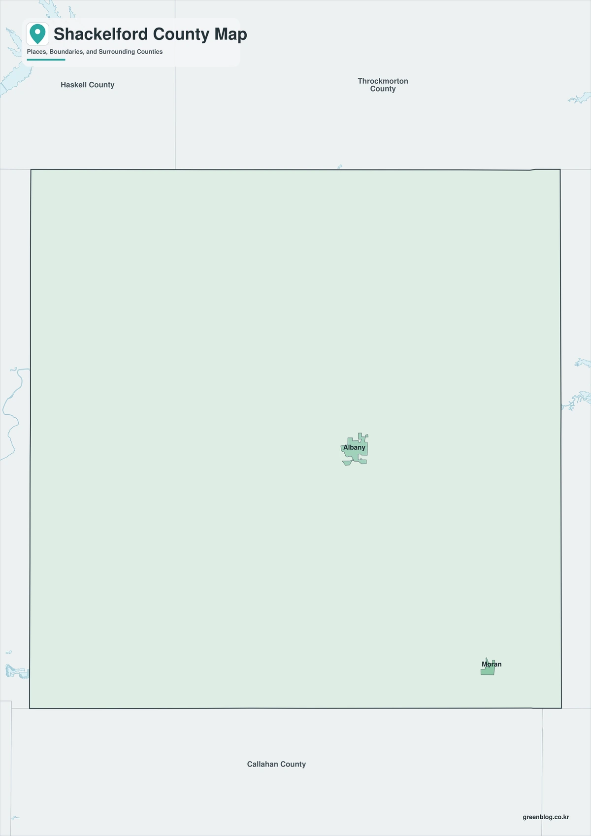
The color edition distinguishes Shackelford County from Jones, Haskell, Throckmorton, Stephens, Eastland, and Callahan counties. Moran marks the southeast, Lueders the northwest edge, and Albany the central civic district. Fort Griffin and the Clear Fork provide the main northern historical and natural references.
Black-and-White Map
County fills are removed while selected communities, stream labels, and boundary lines remain. Albany’s position between Hubbard Creek country and the Clear Fork corridor stays readable without color. This format is well suited to monochrome ranching and heritage reports.
Outline Map
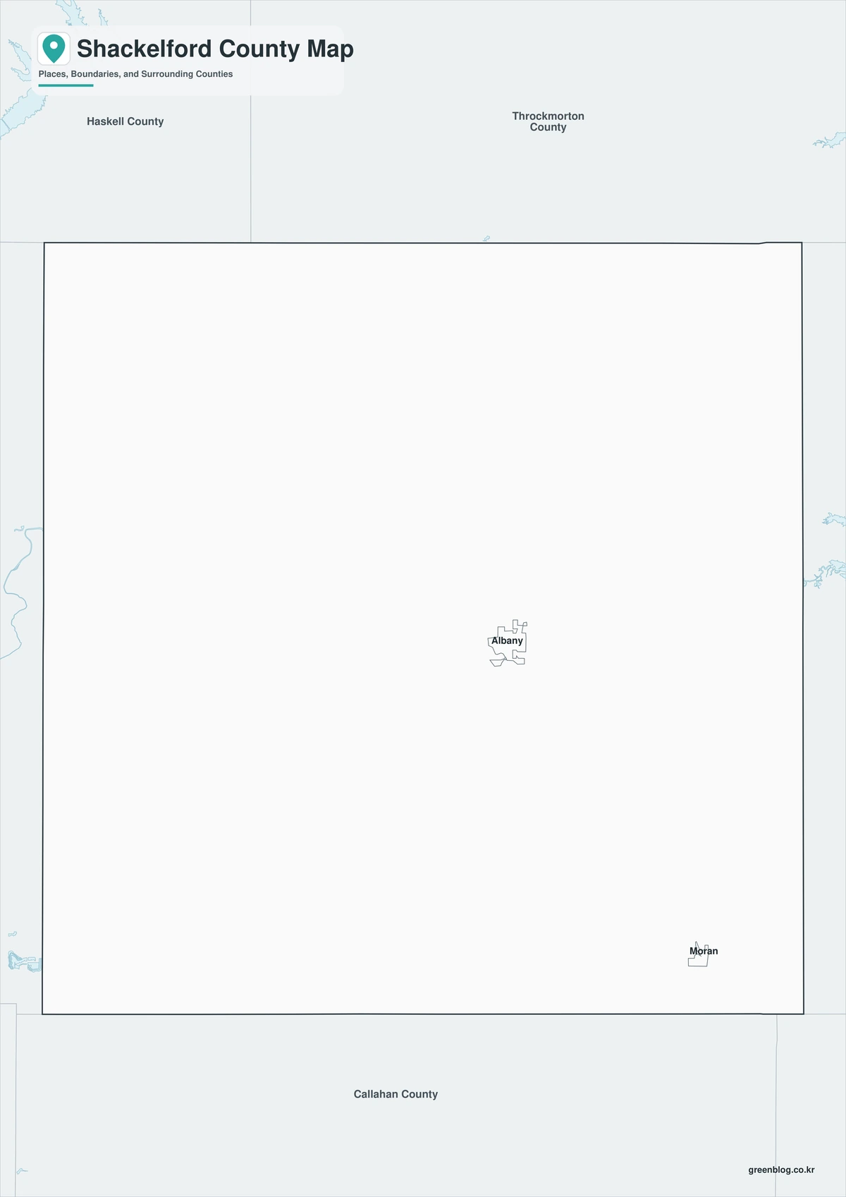
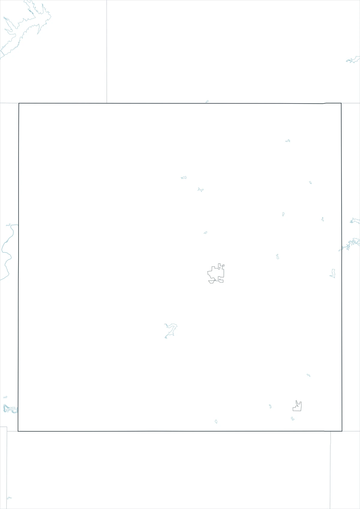
The outline sheet removes colors and labels while preserving Shackelford County and adjacent-county boundaries. Users can add Fort Griffin, the Western Trail, Hereford ranches, oil fields, Hubbard Creek, or Clear Fork tributaries from current sources.
Download the County Map Set
The Shackelford County Texas map set contains color, black-and-white, and outline A3 JPG files. Labeled sheets provide regional orientation, whereas the blank framework is designed for custom graphics on topics such as frontier history, ranching, rivers, petroleum, and culture.
County Map File Information
The download contains color, black-and-white, and outline Shackelford County maps. Selected places and geographic references appear on the first two sheets, while the outline version keeps county context without fills or labels.
- Included Versions: Color, Black and White, Outline
- File Type: JPG
- Printable Size: A3 high-resolution layout
- Map Coverage: County boundary, adjacent counties, selected communities, rivers, and creeks
- Intended Use: Printing, reports, teaching, presentations, and custom annotations
Frequently Asked Questions
Why is Albany called the Home of the Hereford?
The slogan reflects the county’s long association with registered Hereford cattle breeding and ranching.
What happened to the town below Fort Griffin?
The former civilian settlement declined after the military post closed and transportation shifted toward Albany. It no longer exists as an incorporated community.
Does the outline map show historic trails?
No. The Western Trail and other historic routes must be added from verified historical and GIS sources.
Sources and Further Reading
Population figures come from the U.S. Census Bureau QuickFacts profile. The Handbook of Texas county entry supports the terrain, settlement, ranching, oil, and river discussion. Separate entries for Albany, Fort Griffin, Clear Fork, and Hubbard Creek provide local detail.
Use current county, transportation, water, appraisal, energy regulatory, heritage, and environmental records to determine legal boundaries, parcels, roads, flood zones, wells, pipelines, and site access.
Related Maps
- Wharton County Texas map|Wharton, El Campo, and the Colorado River
- Waller County Texas map|Hempstead, Prairie View, and the Brazos River
- Wise County Texas map|Decatur, Bridgeport, and Lake Bridgeport
- Zavala County Texas map|Crystal City, La Pryor, Batesville, and the Nueces River
- Sutton County Texas map|Sonora, Caverns, Ranch Country, and Two Watersheds
Green Map creates custom-edited map images using open geographic data sources such as geoBoundaries, Natural Earth, OpenStreetMap, and government open data.
These maps are edited visual materials, not raw data files, and are provided for education, documents, presentations, and graphic reference.