One small county seat sits near the meeting point of ranch roads, while runoff leaves the county toward three different river systems. A Schleicher County Texas map therefore depends on Eldorado, historic rural names, and headwater streams rather than a chain of modern towns.
The Census Bureau estimated 2,245 residents on July 1, 2025, 8.3 percent below the 2020 estimate base. Eldorado contains most public services, while the rest of the county is dominated by ranches, energy facilities, and widely separated rural properties.
Table of Contents
Water Leaves in Three Directions
Dry Devils River rises west of Eldorado and runs southwest toward Sutton County, where it joins other draws in the upper Devils River system. Granger Draw follows a similar southwest course and helps define the Rio Grande basin portion of the county.
Eastern runoff enters the upper San Saba River system, while Dry Creek and Dove Creek drain north toward the South Concho. These divisions make Schleicher County a useful example of subtle watershed boundaries across the Edwards Plateau.
Eldorado Remained the County Center
Schleicher County was created from Tom Green County in 1887 and organized in 1901. Eldorado won the county-seat election and developed the courthouse, schools, stores, newspapers, and livestock services needed by surrounding ranches.
The Kansas City, Mexico and Orient Railway crossed the northern part of the county rather than Eldorado. Hulldale grew beside the line, but the railroad did not shift the administrative and commercial center away from the county seat.
Wool, Mohair, and Range Management
Sheep and Angora goats joined cattle as major livestock because the brushy, semi-arid plateau supported grazing better than intensive farming. Wool and mohair became central products, and the West Texas Woolen Mills opened in Eldorado during the early 1940s.
Range condition, wells, fencing, drought, and livestock prices have always shaped production. Large ranch units and low population density remain more visually important than cropland on most county landscapes.
Petroleum and Wind Added New Land Uses
Oil and natural gas development added lease income and industrial activity without creating a second large town. Wells, gathering systems, service roads, and pipelines are dispersed across private ranches and require current regulatory data for accurate mapping.
Strong plateau winds later supported utility-scale wind development. Turbines, transmission lines, and substations created another geographic layer, but a general county map should not be treated as an operational energy map.
Historic Rural Names
Hulldale was a railroad community north of Eldorado. Adams and Rudd were small northeastern settlements with schools, post offices, or local farm services at different periods. Their names remain useful historical references even though they no longer function as incorporated towns.
The absence of multiple cities does not mean the county lacks internal geography. Roads, ranch headquarters, water sources, former schools, and watershed divides organize local space more strongly than municipal boundaries.
County Reference Table
| County seat | Eldorado |
|---|---|
| Historic northern place | Hulldale |
| Eastern rural references | Adams and Rudd |
| 2025 population estimate | 2,245 |
| Southwestern drainage | Dry Devils River and Granger Draw |
| Northern drainage | Dry Creek and Dove Creek |
| Major land uses | Ranching, petroleum, natural gas, and wind energy |
Color Map
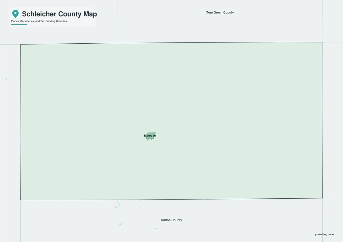
The color edition separates Schleicher County from Crockett, Irion, Tom Green, Menard, and Sutton counties. Eldorado anchors the center, while Adams and Hulldale provide eastern and northern references. Dry Devils River, Granger Draw, Dry Creek, and Dove Creek show how drainage leaves the county in contrasting directions.
Black-and-White Map
County fills are removed while selected place names, stream labels, and boundary lines remain. The position of Eldorado between the Sutton County side and the Tom Green County side stays clear. This format works well for monochrome range-management and watershed reports.
Outline Map
The outline sheet removes colors and labels while preserving Schleicher County and adjacent-county boundaries. Users can add Dry Devils River, San Saba headwaters, former railroad places, ranch units, wind turbines, or petroleum infrastructure from verified sources.

Download the Printable Map Files
The Schleicher County Texas map set contains color, black-and-white, and outline A3 JPG files. The labeled versions support geographic orientation, while the blank framework is intended for custom water, ranching, energy, and historical graphics.
County Map File Information
The download contains color, black-and-white, and outline Schleicher County maps. Selected places and geographic references appear on the first two sheets, while the outline version keeps county context without fills or labels.
- Included Versions: Color, Black and White, Outline
- File Type: JPG
- Printable Size: A3 high-resolution layout
- Map Coverage: County boundary, adjacent counties, selected places, and watershed context
- Intended Use: Printing, reports, teaching, presentations, and custom annotations
Frequently Asked Questions
Why are watershed labels important in Schleicher County?
The county sends runoff toward the Devils River, San Saba River, and South Concho systems, even though much of the surface appears broadly similar.
Was Hulldale a separate city?
It was a small railroad community north of Eldorado, not a lasting incorporated city or county seat.
Can the outline map locate active oil and wind facilities?
No. Current well, pipeline, turbine, transmission, and lease information must come from regulatory and utility sources.
Sources and Further Reading
Population figures come from the U.S. Census Bureau QuickFacts profile. The Handbook of Texas county entry supports the settlement, ranching, wool-processing, terrain, and drainage discussion. Separate entries for Dry Devils River, Granger Draw, Dry Creek, Dove Creek, Hulldale, Adams, and Rudd provide local details.
Use current county, transportation, water, appraisal, energy regulatory, utility, and environmental records to determine legal boundaries, roads, flood zones, wells, pipelines, and wind facilities.
Related Maps
- Van Zandt County Texas map|Canton, Grand Saline, Van, and Lake Tawakoni
- Ward County Texas map|Monahans, Barstow, and Monahans Sandhills
- Wheeler County Texas map|Wheeler, Shamrock, Mobeetie, and the Red River
- Walker County Texas map|Huntsville, Sam Houston National Forest, and Lake Livingston
- Trinity County Texas map|Groveton, Lake Livingston, and Davy Crockett National Forest
Green Map creates custom-edited map images using open geographic data sources such as geoBoundaries, Natural Earth, OpenStreetMap, and government open data.
These maps are edited visual materials, not raw data files, and are provided for education, documents, presentations, and graphic reference.