Few Texas counties combine a functioning passenger-rail stop, a Mexico border, prehistoric rock art, sheep-and-goat ranching, and deeply incised desert canyons with such a small population. A Terrell County Texas map uses Sanderson and Dryden as its only major settlement references, then relies on rivers, mesas, and canyon systems to explain the rest of the landscape.
The Census Bureau estimated 702 residents on July 1, 2025, a 7.9 percent decline from the 2020 estimate base of 762. Spread across roughly 2,357 square miles, the population density is so low that transportation corridors and water sources matter more than a network of towns.
Table of Contents
A Railroad County That the Interstate Bypassed
The Galveston, Harrisburg and San Antonio Railway entered the area in 1882. Sanderson became a division point, water stop, repair location, and crew-change center on the route between San Antonio and El Paso. Dryden developed around another railroad section house farther southeast.
Terrell County was organized from Pecos County in 1905, and voters selected Sanderson as county seat. Railroad employment and wool and mohair shipping supported a much larger population through the mid-twentieth century. Job reductions and the construction of Interstate 10 north of town later weakened the local economy and reduced through traffic.
The 1965 Flood Redefined Sanderson
Sanderson Canyon drains a long watershed from eastern Brewster County toward the Rio Grande. Most of the channel is dry for extended periods, but intense thunderstorms can send runoff through narrow terrain with little warning.
In June 1965, a wall of water swept through Sanderson, destroying homes and businesses and killing twenty-six people. Flood-control structures were later built in surrounding watersheds. The event remains central to local memory and illustrates why desert communities require serious flash-flood planning.
Between the Pecos River and Mexico
The Rio Grande forms the county’s southern international boundary with Coahuila. On the east, the Pecos River cuts through limestone canyon country before reaching the Rio Grande near the Val Verde County side. Independence Creek and isolated springs support unusually important riparian habitat in an otherwise arid region.
Elevations range from roughly 1,300 to 4,000 feet. Rocky mesas, limestone cliffs, gravel plains, and branching canyons create a more varied landscape than the word desert suggests. Road access is sparse, and many remote areas remain private ranchland.
Meyers Spring Records Several Eras
Meyers Spring, east of Dryden, contains one of the county’s best-known rock-art sites. Images on the cliff show various subjects including animals, people, hunting scenes, and later historical elements, indicating the area’s continued significance through diverse time periods.
The nearby area also served the Pecos Land and Cattle Company, whose operations extended from Dryden toward the Pecos and Rio Grande. Cultural resources on private land should not be treated as open public attractions; access and documentation require permission and professional guidance.
Ranching Fits the Chihuahuan Desert
Thin soils, low rainfall, brush, and rocky slopes limited intensive farming. Cattle, sheep, and Angora goats were better suited to the open range, and wool and mohair became major products. Large ranches and absentee ownership later reinforced the county’s very low settlement density.
Creosote bush, mesquite, yucca, sotol, ocotillo, prickly pear, grasses, juniper, and scattered oaks occur across different elevations. Wildlife and dark skies add ecological and tourism value, but water availability and distance continue to shape every form of land use.
Local Orientation Table
| County seat | Sanderson |
|---|---|
| Other principal community | Dryden |
| 2025 population estimate | 702 |
| Main highway and rail corridor | U.S. Highway 90 |
| Southern boundary | Rio Grande and Mexico |
| Eastern river reference | Pecos River |
| Major canyon reference | Sanderson Canyon |
| Cultural landscape | Meyers Spring rock-art area |
Color Map
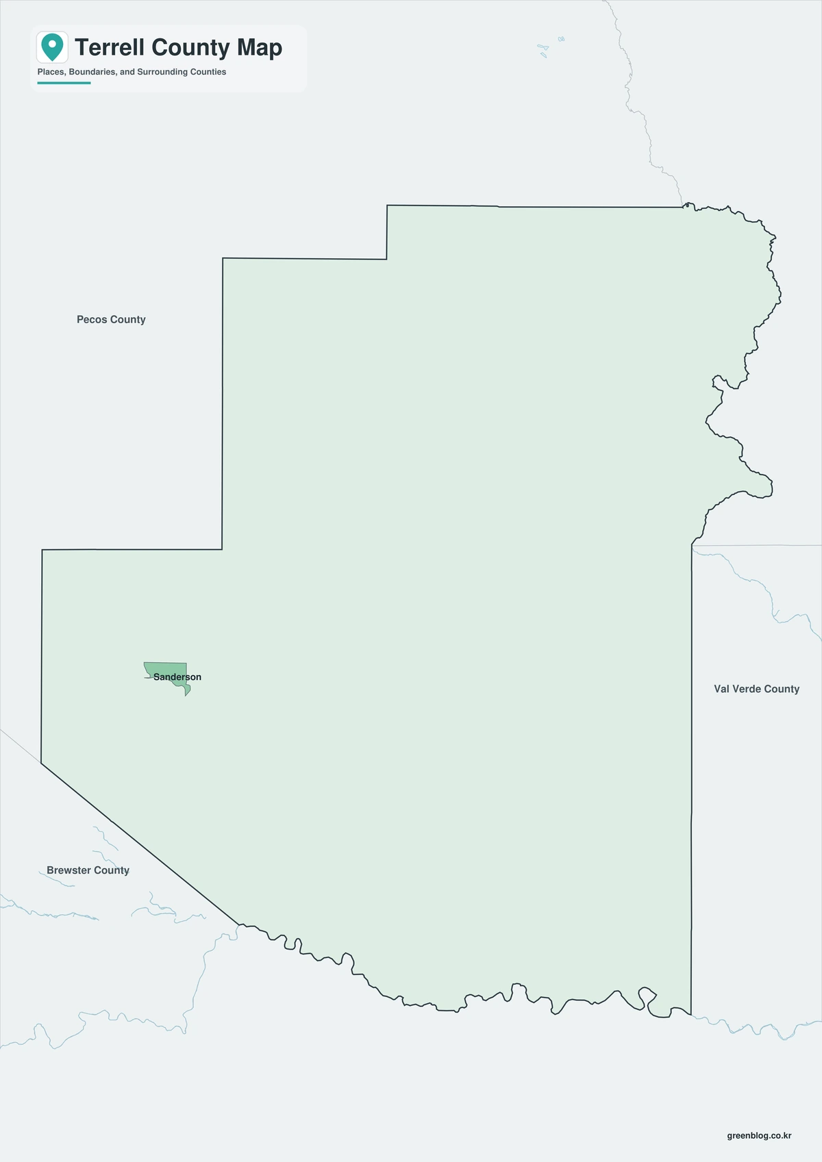
The color edition distinguishes Terrell County from Brewster, Pecos, Crockett, and Val Verde counties and from Coahuila across the international boundary. Dryden provides the southeastern settlement reference, while Sanderson anchors the northern rail-and-highway corridor. The Rio Grande, Pecos River, and Sanderson Canyon clarify how the county opens toward border canyon country.
Black-and-White Map
County fills are removed while boundaries, selected place names, rivers, and the international line remain. The separation between Sanderson and Dryden is easy to read, and the position of the two communities relative to Mexico and the Pecos corridor remains clear. This sheet is useful for monochrome historical or environmental reports.
Outline Map
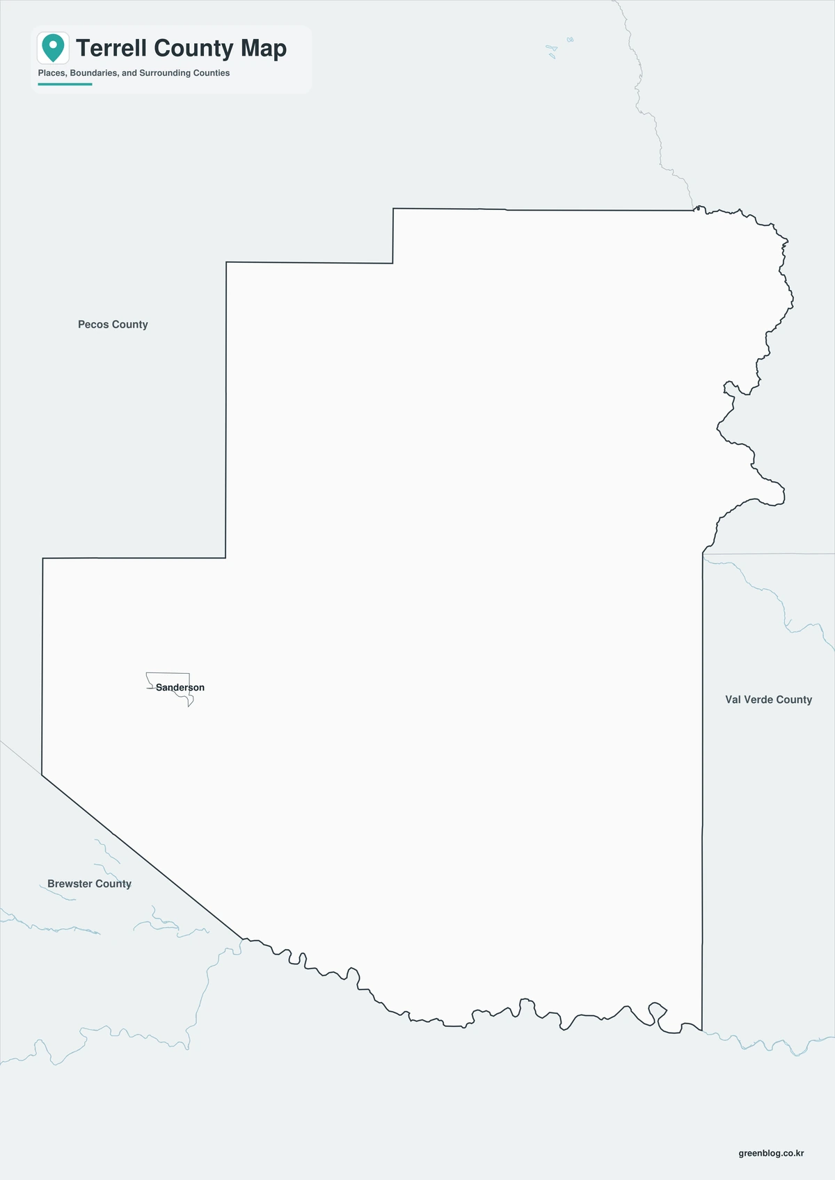
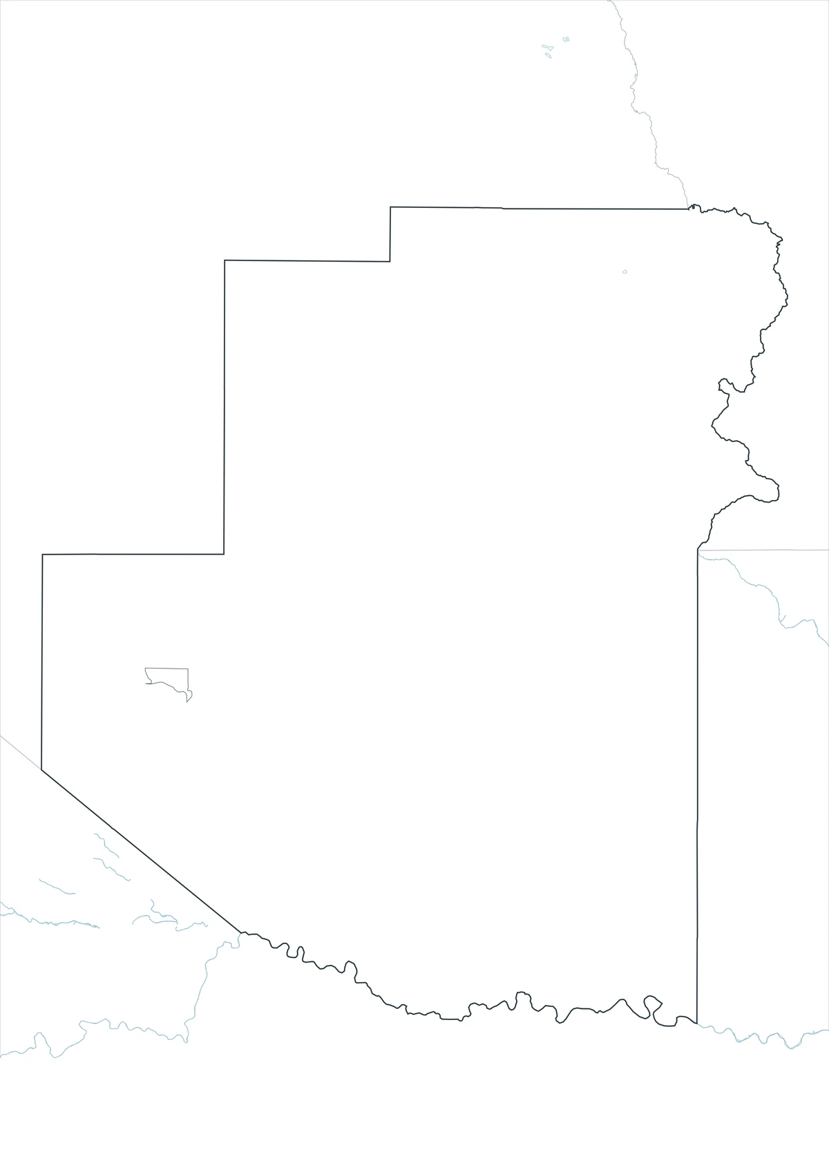
The outline sheet removes colors and labels while preserving Terrell County, neighboring counties, and the Mexico boundary. Users can add Meyers Spring, Sanderson Canyon, the Southern Pacific route, ranch areas, the Rio Grande and Pecos River, or flood-control features from verified sources.
Download the Three County Maps
The Terrell County Texas map set contains color, black-and-white, and outline A3 JPG files. The labeled versions provide orientation in Terrell County’s sparsely settled border region, while the blank framework is designed for custom canyon, ranching, rail, flood, and cultural-history graphics.
County Map File Information
The download contains color, black-and-white, and outline Terrell County maps. Selected settlements and geographic references appear on the first two sheets, while the outline version keeps county and international boundaries without fills or labels.
- Included Versions: Color, Black and White, Outline
- File Type: JPG
- Printable Size: A3 high-resolution layout
- Map Coverage: County boundary, adjacent counties, Mexico border, selected communities, rivers, and canyons
- Intended Use: Printing, reports, teaching, presentations, and custom desert analysis
Frequently Asked Questions
Is Terrell County the same place as Terrell, Texas?
No. Terrell County is a remote border county in the Big Bend region. The city of Terrell is hundreds of miles east in Kaufman County.
Why does Sanderson still matter to rail travelers?
Amtrak’s Sunset Limited stops at Sanderson on the historic San Antonio–El Paso rail corridor, preserving a transportation role that began in the 1880s.
Can this map be used to enter remote ranch or rock-art sites?
No. Much of the county is private land, and cultural sites require permission. Use official access information and respect property and heritage protections.
Sources and Further Reading
Population data come from the U.S. Census Bureau QuickFacts profile. The Handbook of Texas county entry supports the terrain, railroad, ranching, population, river, and cultural-history discussion. Separate entries for Sanderson, Dryden, and Sanderson Canyon provide local details.
Use current county, border, transportation, flood-control, landowner, water, appraisal, and environmental records for legal boundaries, private access, roads, flood decisions, and cultural sites. Operational planning should consider these factors as well.
Related Maps
- Swisher County Texas map|Tulia, I-27 Farm Towns, and Tule Canyon
- Tarrant County Texas map|Fort Worth, Arlington, Airport Cities, and Trinity Lakes
- Terry County Texas map|Brownfield, Cotton Country, and the South Plains
- Upshur County Texas map|Gilmer, Big Sandy, and Lake O’ the Pines
- Wilbarger County Texas map|Vernon, the Pease River, and the Red River
Green Map creates custom-edited map images using open geographic data sources such as geoBoundaries, Natural Earth, OpenStreetMap, and government open data.
These maps are edited visual materials, not raw data files, and are provided for education, documents, presentations, and graphic reference.