Railroad townsites, two branches of the upper Brazos, and a pair of landmark hills give this sparsely settled county a distinctive layout. A Stonewall County Texas map uses Aspermont as the main crossroads, with Swenson and Peacock to the west and Old Glory near the eastern side of the county.
The Census Bureau estimated 1,186 residents on July 1, 2025, a 4.7 percent decline from the 2020 estimate base of 1,245. County government and most modern services are concentrated in Aspermont, which preserves the geography of an earlier railroad and farming era alongside other named communities.
Table of Contents
A County Framed by Two Brazos Forks
The Salt Fork crosses the northern half of Stonewall County. The Double Mountain Fork runs near the southern boundary, loops through western Haskell County, and then bends through the eastern side before meeting the Salt Fork near the Old Glory area. Tonk, Croton, Stinking, and smaller creeks cut through the rolling and broken terrain between the two main channels.
This arrangement makes the river system more than a background feature. Peacock and Swenson sit south of the Salt Fork in the western half, while Old Glory occupies the eastern zone between the branches. Aspermont lies farther south, close to tributaries that drain toward the Double Mountain Fork.
Double Mountain and Early Travel Landmarks
Double Mountain consists of two separate hills southwest of Aspermont. The summits rise about 600 feet above the surrounding land and reach roughly 2,000 feet in elevation, making them visible reference points across the plains. Surveyors led by Randolph B. Marcy noted the landmark in 1849.
Kiowa Peak in the northeast and Flat Top Mountain in the southeast also guided Indigenous travelers and later explorers. Together with creek-cut breaks and uneven slopes, these features distinguish the county from the flatter agricultural plains farther east.
How Railroads Rearranged the Town Map
Stonewall County was created in 1876 and organized in 1889. Railroad construction in 1904 and 1909 connected the area to outside markets and encouraged communities to move toward new depots. Swenson was laid out in anticipation of the Stamford and Northwestern line, and Peacock developed on that railway under the earlier name Alluvia.
Old Glory began with German American settlement at Brandenburg. When the railroad crossed the area, the townsite shifted about two miles west, and the renamed community gained stores, a gin, and a post office. The changing locations show why historical and present-day place names do not always occupy the same point.
Cotton Expansion, Ranching, and Rural Decline
Early twentieth-century settlers expanded cotton farming rapidly. Planted acreage climbed beyond 67,000 acres by 1929, while wheat, oats, sorghum, hay, and peanuts also became part of the farm economy. Dry-land risk and the Great Depression then forced many farmers out and reduced both cropland and population.
Cattle remained important throughout the farming boom, especially on large southern ranches connected to the Swenson Land and Cattle Company. School consolidation and improved roads later shifted public life to Aspermont, Peacock, and Old Glory before population decline diminished the number of active institutions.
Oil Added a Second Economic Layer
Modest petroleum production began in the late 1930s and helped soften agricultural decline. Oil and natural gas later became lasting parts of the local economy, including fields near the eastern side of the county. The industry added revenue without creating a large new city, so the settlement pattern remains thin and highway-oriented.
A general county map should not be used to locate current wells, pipelines, leases, or ranch boundaries. Those features require current Railroad Commission, appraisal district, and county GIS records.
Community and Map Reference Table
| County seat | Aspermont |
|---|---|
| Western communities | Swenson and Peacock |
| Eastern community | Old Glory |
| 2025 population estimate | 1,186 |
| Main highways | U.S. 83 and U.S. 380 |
| Major natural references | Salt Fork, Double Mountain Fork, Double Mountain |
Color Map
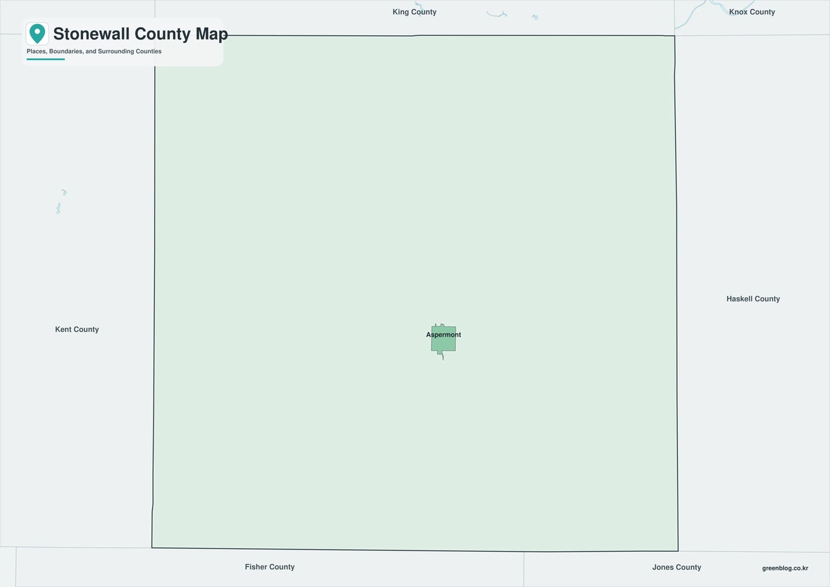
The color edition separates Stonewall County from Kent, King, Haskell, Jones, and Fisher counties. Old Glory provides the eastern reference near the joining Brazos forks, while Swenson and Peacock define the western U.S. 380 corridor. Aspermont and Double Mountain then establish the county-seat and southwestern landmark positions within the colored boundary framework.
Black-and-White Map
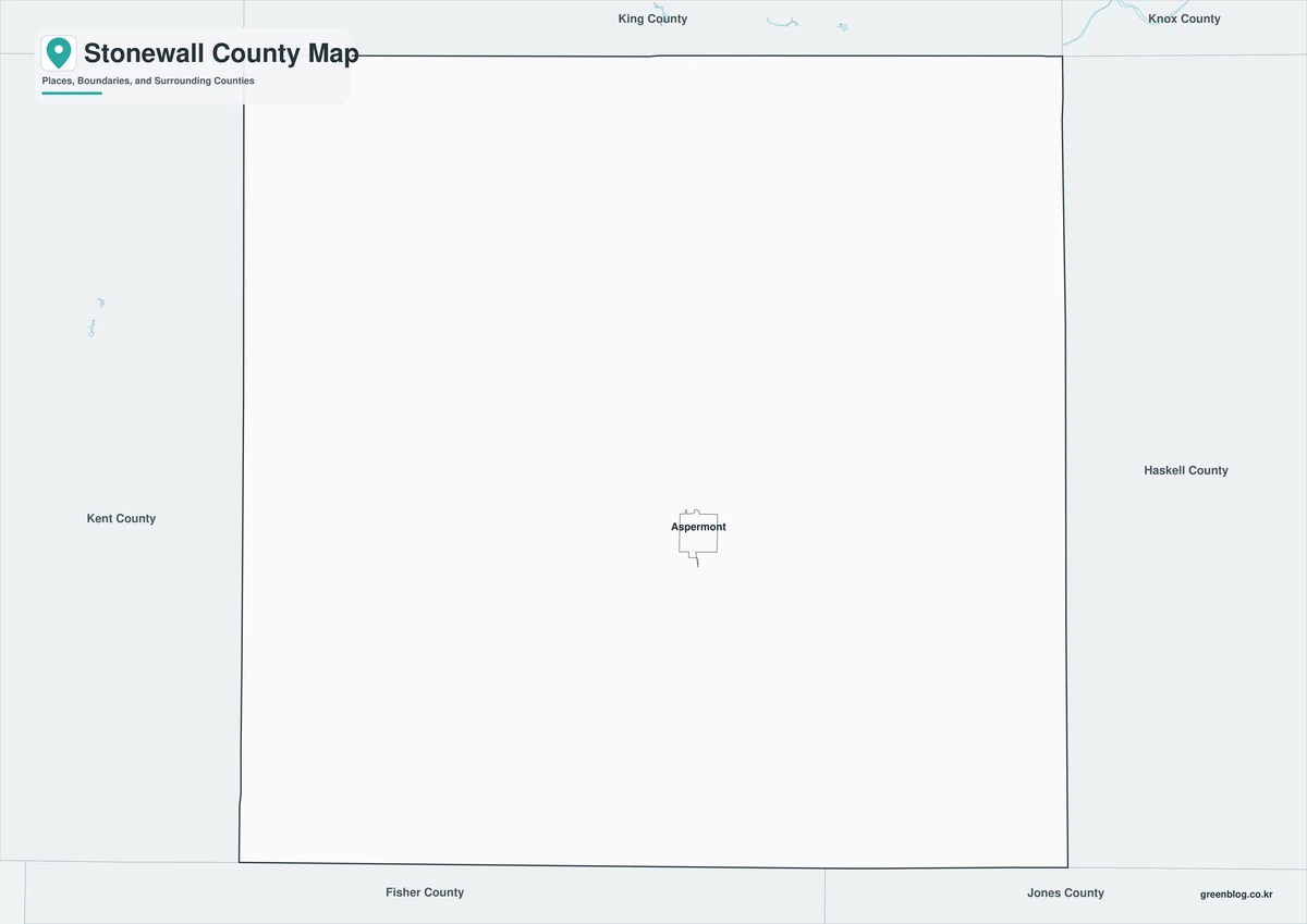
This version removes county fills but retains boundaries and selected place labels. The readability of the section from Swenson and Peacock through Aspermont to Old Glory remains intact, making this map useful for black-and-white reports and historical comparisons.
Outline Map
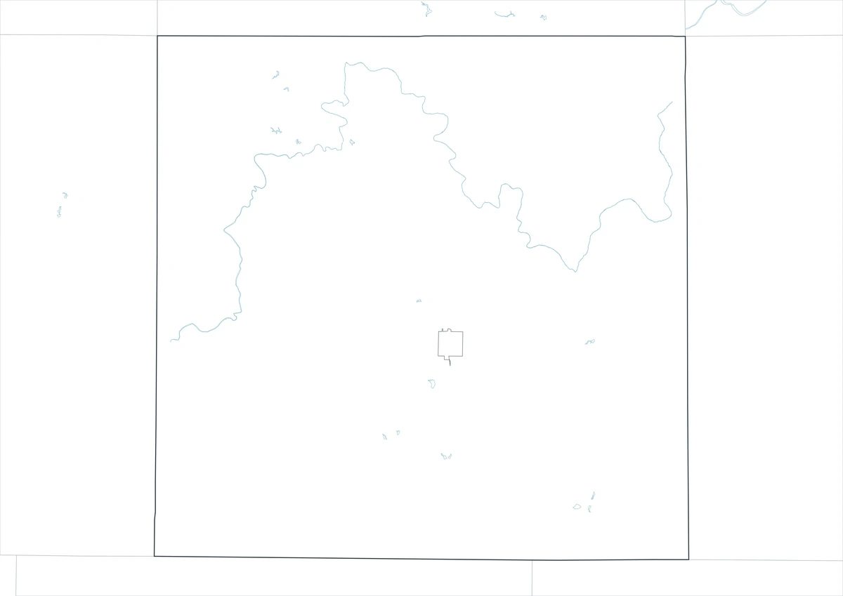
The outline sheet removes colors and names while preserving Stonewall County and adjacent-county boundaries. Users can trace the Salt Fork and Double Mountain Fork, mark Double Mountain and Kiowa Peak, and add railroad, cotton, ranching, school, and oil themes using verified data.
Download the Map Files
The Stonewall County Texas map set includes color, black-and-white, and outline A3 JPG sheets. The labeled versions facilitate quick orientation, whereas the blank framework is designed for custom annotations on rivers, communities, transportation, agriculture, and history.
County Map Details
The download contains color, black-and-white, and outline Stonewall County maps. Selected communities and geographic references appear on the labeled sheets, while the outline version keeps boundaries without fills or place names.
- Included Versions: Color, Black and White, Outline
- File Type: JPG
- Printable Size: A3 high-resolution layout
- Map Coverage: County boundary, neighboring counties, selected communities, rivers, and landmarks
- Intended Use: Printing, teaching, reports, presentations, and custom annotations
Frequently Asked Questions
What makes Double Mountain important?
Its two summits rise prominently above the surrounding plains and served as long-distance landmarks for Indigenous travelers, explorers, and surveyors.
Are Swenson, Peacock, and Old Glory incorporated cities?
They are small unincorporated communities. Aspermont is the county seat and the county’s incorporated town.
Does the map show the original Brandenburg townsite?
No. The general map uses the modern Old Glory reference. Historical research is needed to distinguish the earlier Brandenburg site from the railroad-era townsite.
Sources and Further Reading
Population figures come from the U.S. Census Bureau QuickFacts profile. The Handbook of Texas county entry supports the river, terrain, railroad, agricultural, and petroleum history. Separate entries for Double Mountain, Swenson, Peacock, and Old Glory provide place-specific details.
Use current GIS data from county, appraisal, transportation, water, environmental, and energy agencies for legal boundaries, roads, wells, pipelines, and planning.
Related Maps
- Zapata County Texas map|Zapata, San Ygnacio, and Falcon Lake
- Titus County Texas map|Mount Pleasant, Pine Country, and Two Lakes
- Yoakum County Texas map|Plains, Denver City, and the Permian Basin
- Upshur County Texas map|Gilmer, Big Sandy, and Lake O’ the Pines
- Ward County Texas map|Monahans, Barstow, and Monahans Sandhills
Green Map creates custom-edited map images using open geographic data sources such as geoBoundaries, Natural Earth, OpenStreetMap, and government open data.
These maps are edited visual materials, not raw data files, and are provided for education, documents, presentations, and graphic reference.