The Travis County Texas map covers Central Texas with Austin, Pflugerville, Manor, Lakeway, Bee Cave, the Colorado River, Lake Travis, limestone hills, urban districts, and suburban growth areas.
The U.S. Census Bureau estimated 1,389,670 residents on July 1, 2025. Austin is both the county seat and the capital of Texas.
Table of Contents
Map Coverage and Three A3 Versions
The download includes color, black-and-white, and outline maps. The labeled versions locate selected cities, the Colorado River, reservoirs, hill country, plains, preserves, and broad urban areas.
This Travis County Texas map focuses on the county boundary and its relationship to Burnet, Williamson, Bastrop, Caldwell, Hays, and Blanco counties. It is not a road atlas, flood map, reservoir-depth chart, preserve-boundary survey, development plan, or parcel map.
| Item | Verified Detail |
|---|---|
| Location | Central Texas Austin metropolitan area |
| County Seat | Austin |
| 2025 Population Estimate | 1,389,670 |
| Major Cities | Austin, Pflugerville, Manor, Lakeway, and Bee Cave |
| Other Cities | West Lake Hills, Sunset Valley, and surrounding suburbs |
| Natural Features | Colorado River, Lake Travis, Lake Austin, and Balcones Escarpment |
| Regional Character | State government, technology, universities, healthcare, tourism, urban development, and lake recreation |
Austin and County Government
Austin is the county seat and state capital. State government, county offices, the University of Texas at Austin, hospitals, technology companies, and cultural institutions are concentrated in the city.
Interstate 35, U.S. Route 183, and State Highway 71 are major metropolitan transportation corridors.
Pflugerville, Manor, and Eastern Growth
Pflugerville and Manor are rapidly developing communities north and east of Austin. Housing, schools, logistics, industrial facilities, and remaining agricultural land occur together.
Municipal boundaries and development districts change and require current official maps for administrative or property work.
Lakeway, Bee Cave, and Western Hills
Lakeway and Bee Cave lie in the western hill and lake district. Residential areas, tourism, golf courses, and commerce occupy limestone terrain near Lake Travis.
Lake Travis and the Colorado River
Lake Travis and Mansfield Dam are about 13 miles northwest of Austin on the Colorado River, and the reservoir extends into Burnet County.
Fishing, boating, swimming, and lake tourism are common, but water levels, ramps, and navigation conditions require current official information.
Balcones Escarpment and Preserves
The Balcones Escarpment divides western limestone hills from lower eastern plains. Barton Creek, canyons, springs, and karst terrain shape western Austin’s landscape.
Balcones Canyonlands Preserve and other public conservation lands protect habitat and water resources. Current access rules should be checked before visiting.
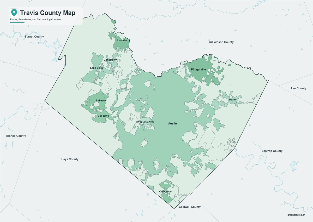
Color Map
The color version separates Travis County from neighboring counties and helps show Austin, suburban cities, river, reservoirs, hills, plains, and preserves.
Black-and-White Map
The black-and-white map retains the county outline and selected place names for grayscale printing.
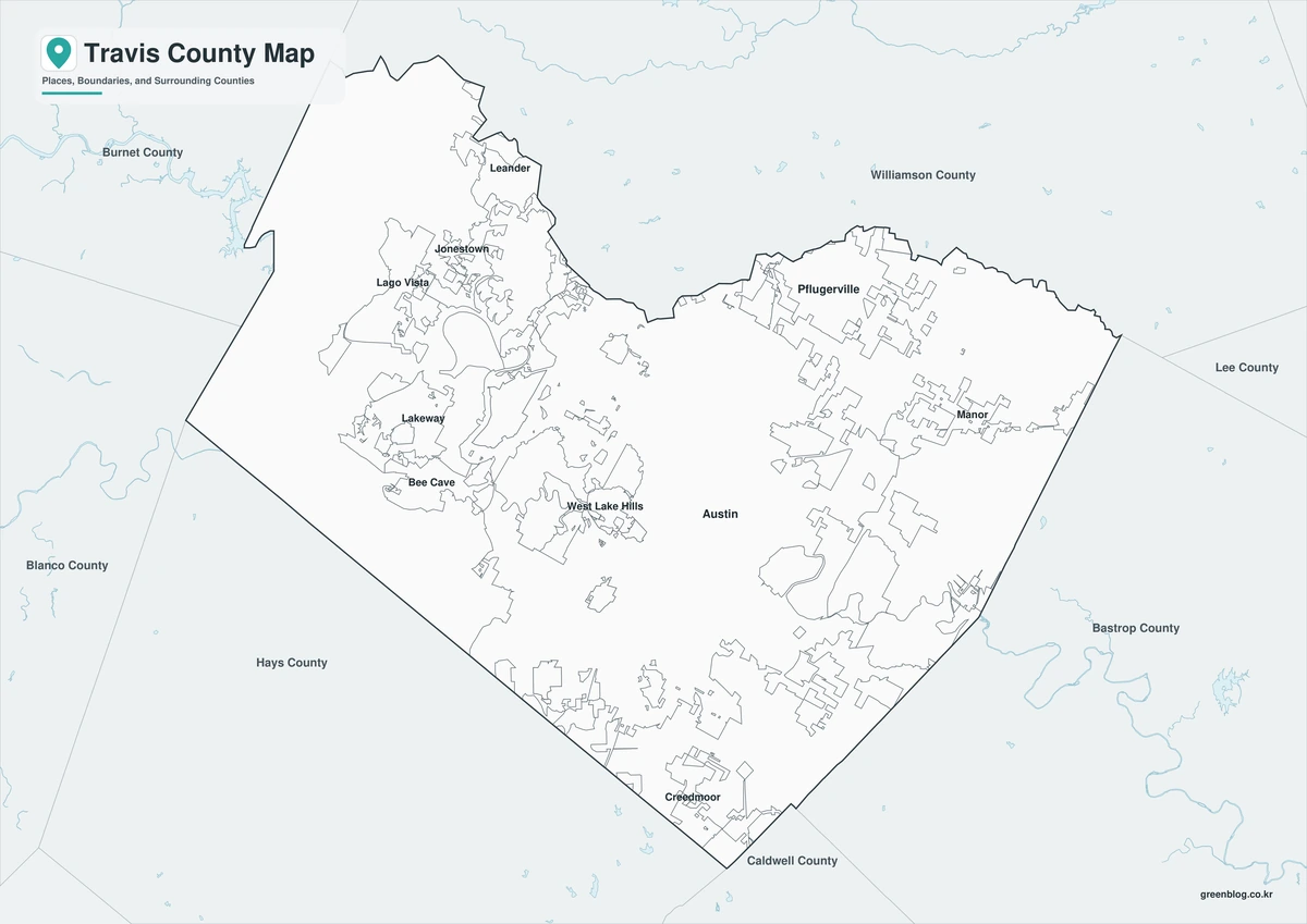
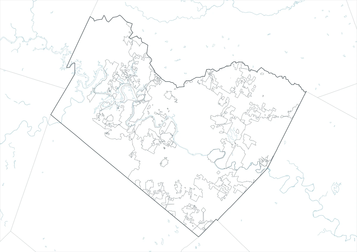
Outline Map
The outline version contains boundary lines without labels or fills, allowing custom notes and place names.
Download the Travis County Maps
The Travis County Texas map download contains three A3 JPG versions. Current official records should be used for legal, traffic, flood, lake recreation, preserve access, development, municipal-boundary, and property decisions.
County Map File Information
This download includes color, black-and-white, and outline maps.
- Included Versions: Color, Black and White, Outline
- File Type: JPG
- Page Size: A3
Frequently Asked Questions
What is the county seat of Travis County?
Austin is the county seat and the capital of Texas.
Which cities are the main population centers?
Austin, Pflugerville, Manor, Lakeway, and Bee Cave are major cities.
Which natural features are best known?
The Colorado River, Lake Travis, Lake Austin, Barton Creek, and Balcones Escarpment are major features.
References
U.S. Census Bureau QuickFacts supplied the 2025 population estimate.
Travis County’s official introduction and the Texas Association of Counties supplied county-seat and government information.
Texas Water Development Board’s Lake Travis page and the Texas State Historical Association supplied reservoir and landform information.
Related Maps
- Zapata County Texas map|Zapata, San Ygnacio, and Falcon Lake
- Winkler County Texas map|Kermit, Wink, and the Permian Basin
- Wilson County Texas map|Floresville, La Vernia, Poth, and Stockdale
- Williamson County Texas map|Georgetown, Round Rock, Cedar Park, and Leander
- Waller County Texas map|Hempstead, Prairie View, and the Brazos River
Green Map creates custom-edited map images using open geographic data sources such as geoBoundaries, Natural Earth, OpenStreetMap, and government open data.
These maps are edited visual materials, not raw data files, and are provided for education, documents, presentations, and graphic reference.