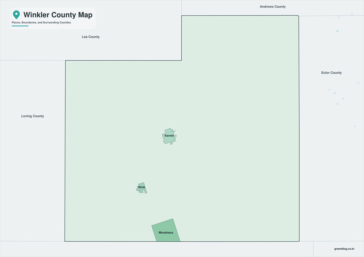
The Winkler County Texas map covers a sparsely populated West Texas county with Kermit, Wink, Permian Basin oil fields, desert plains, ranch land, and the northern portion of the Monahans Sandhills dune system.
The U.S. Census Bureau estimated 7,540 residents on July 1, 2025. Kermit is the county seat, and most residents live in Kermit or Wink.
Table of Contents
Map Coverage and Three A3 Versions
The download includes color, black-and-white, and outline maps. The labeled versions locate Kermit, Wink, neighboring counties, dunes, desert plains, and broad energy-production areas.
This Winkler County Texas map focuses on the county boundary and its relationship to Andrews, Ector, Ward, and Loving counties and Lea County in New Mexico. It is not an oil-well map, pipeline map, mineral-rights survey, road atlas, or parcel map.
| Item | Verified Detail |
|---|---|
| Location | West Texas Permian Basin |
| County Seat | Kermit |
| 2025 Population Estimate | 7,540 |
| Major Cities | Kermit and Wink |
| Major Industries | Oil and gas, oilfield services, transportation, and ranching |
| Natural Features | Monahans Sandhills, dunes, and arid plains |
| Regional Character | Low-density desert landscape, energy production, and small-city settlement |
Kermit and County Government
Kermit is the county seat and contains the courthouse, principal county offices, schools, healthcare, commerce, and oilfield-service businesses.
State Highway 18 and other regional roads connect Kermit with surrounding oil fields and neighboring counties.
Wink and Southern Winkler County
Wink is a small city in southern Winkler County with a history tied to railroad and petroleum development. It lies southeast of Kermit near routes toward Monahans and Ward County.
Desert plains, ranch land, oilfield roads, and industrial facilities surround the city.
Permian Basin Energy Activity
Winkler County lies within the Permian Basin, one of the leading oil and gas producing regions in the United States. Drilling, production, transportation, maintenance, and related services strongly influence the local economy and land use.
Wells, pipelines, work roads, and restricted areas change over time, so current industry and property records are required for field operations.
Monahans Sandhills and Dunes
Monahans Sandhills State Park protects part of a much larger dune system extending across Ward and Winkler counties. Texas Parks and Wildlife states that the park contains 4,717 acres of sand dunes.
Wind continually reshapes the dunes. Off-road travel, private-property access, and vehicle use require current agency and landowner rules.
Arid Climate and Outdoor Conditions
Winkler County has a dry climate, hot summers, strong winds, dust, and long distances between services.
Travelers should check water, fuel, weather, road conditions, and communications coverage before entering remote areas.
Color Map
The color version separates Winkler County from neighboring counties and helps show Kermit, Wink, desert plains, dunes, and broad oilfield areas.
Black-and-White Map
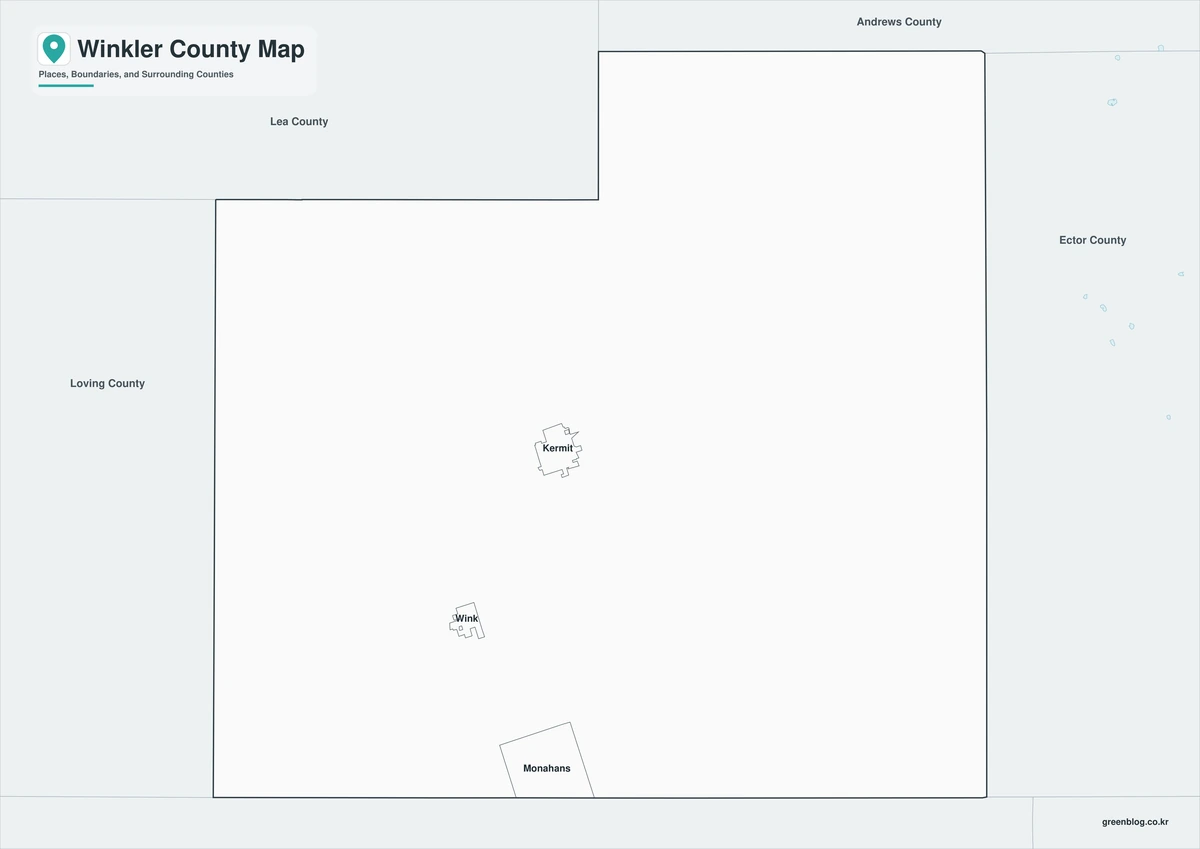
The black-and-white map retains the county outline and selected place names for grayscale printing.
Outline Map
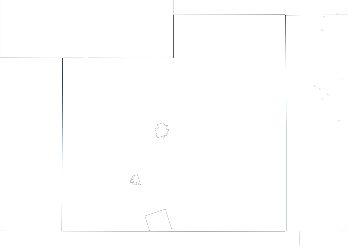
The outline version contains boundary lines without labels or fills, allowing custom notes and place names.
Download the Winkler County Maps
The Winkler County Texas map download contains three A3 JPG versions. Current official records should be used for oilfield, pipeline, traffic, emergency, legal-boundary, mineral-rights, and property decisions.
County Map File Information
This download includes color, black-and-white, and outline maps.
- Included Versions: Color, Black and White, Outline
- File Type: JPG
- Page Size: A3
Frequently Asked Questions
What is the county seat of Winkler County?
Kermit is the county seat.
Which cities are located in the county?
Kermit and Wink are the principal cities.
Which natural features are best known?
The Monahans Sandhills dune system and the arid Permian Basin plains are the best-known natural landscapes.
References
U.S. Census Bureau QuickFacts supplied the 2025 population estimate.
Winkler County’s official website supplied county-seat and government information.
Texas Parks and Wildlife’s Monahans Sandhills State Park history supplied the dune-system and park-area information.
Related Maps
- Williamson County Texas map|Georgetown, Round Rock, Cedar Park, and Leander
- Free Printable Texas Map Set for Education, Presentations and Editing
- Wilson County Texas map|Floresville, La Vernia, Poth, and Stockdale
Green Map creates custom-edited map images using open geographic data sources such as geoBoundaries, Natural Earth, OpenStreetMap, and government open data.
These maps are edited visual materials, not raw data files, and are provided for education, documents, presentations, and graphic reference.