The Suwannee County Florida map covers a rural North Florida county with Live Oak, Branford, Dowling Park, Wellborn, the Suwannee River, the Ichetucknee and Santa Fe river systems, springs, farms, and pine forest.
The U.S. Census Bureau estimated 48,149 residents on July 1, 2025. Live Oak is the county seat, and Live Oak and Branford are the incorporated municipalities.
Table of Contents
Map Coverage and Three A3 Versions
The download includes color, black-and-white, and outline maps. The labeled versions locate selected municipalities, rural communities, rivers, springs, and forest areas.
This Suwannee County Florida map focuses on the county boundary and its relationship to Hamilton, Columbia, Gilchrist, Lafayette, and Madison counties. It is not a navigation chart, flood map, cave-system map, road atlas, or parcel survey.
| Item | Verified Detail |
|---|---|
| Location | North Florida interior |
| County Seat | Live Oak |
| 2025 Population Estimate | 48,149 |
| Incorporated Municipalities | Live Oak and Branford |
| Major Communities | Dowling Park, Wellborn, McAlpin, and O’Brien |
| Natural Features | Suwannee River, Ichetucknee River, Santa Fe River, and natural springs |
| Regional Character | Agriculture, forestry, logistics, river and spring recreation, and rural tourism |
Live Oak and County Government
Live Oak is the county seat and contains the courthouse, principal county offices, healthcare, schools, commerce, and transportation facilities.
Interstate 10 and U.S. Route 129 support travel and logistics, while the historic downtown serves the surrounding rural region.
Branford and the Southern River Area
Branford is an incorporated town in southern Suwannee County near the Suwannee River. It is a gateway for fishing, boating, paddling, and visits to nearby springs.
The Ichetucknee and Santa Fe river systems connect with the southeastern natural landscape. Current water levels and weather are required for river travel.
Dowling Park and Rural Communities
Dowling Park is an unincorporated community near the Suwannee River in western Suwannee County. Riverfront housing, camping, boating, and nature observation are common nearby.
Wellborn, McAlpin, and O’Brien are small communities surrounded by farms, forest, and rural roads.
Suwannee River and Natural Springs
The Suwannee River is the county’s defining natural corridor, with limestone banks, forest, wetlands, and multiple springs.
Little River Springs and Royal Springs are known for swimming, snorkeling, and paddling. Water quality, levels, and access should be checked before travel.
Agriculture and Forest Land
Inland Suwannee County contains poultry and livestock operations, crop farms, pine forest, and low-density housing. Warehousing, logistics, and local manufacturing also appear near major transportation routes.
Farm and private-property boundaries require current official records.
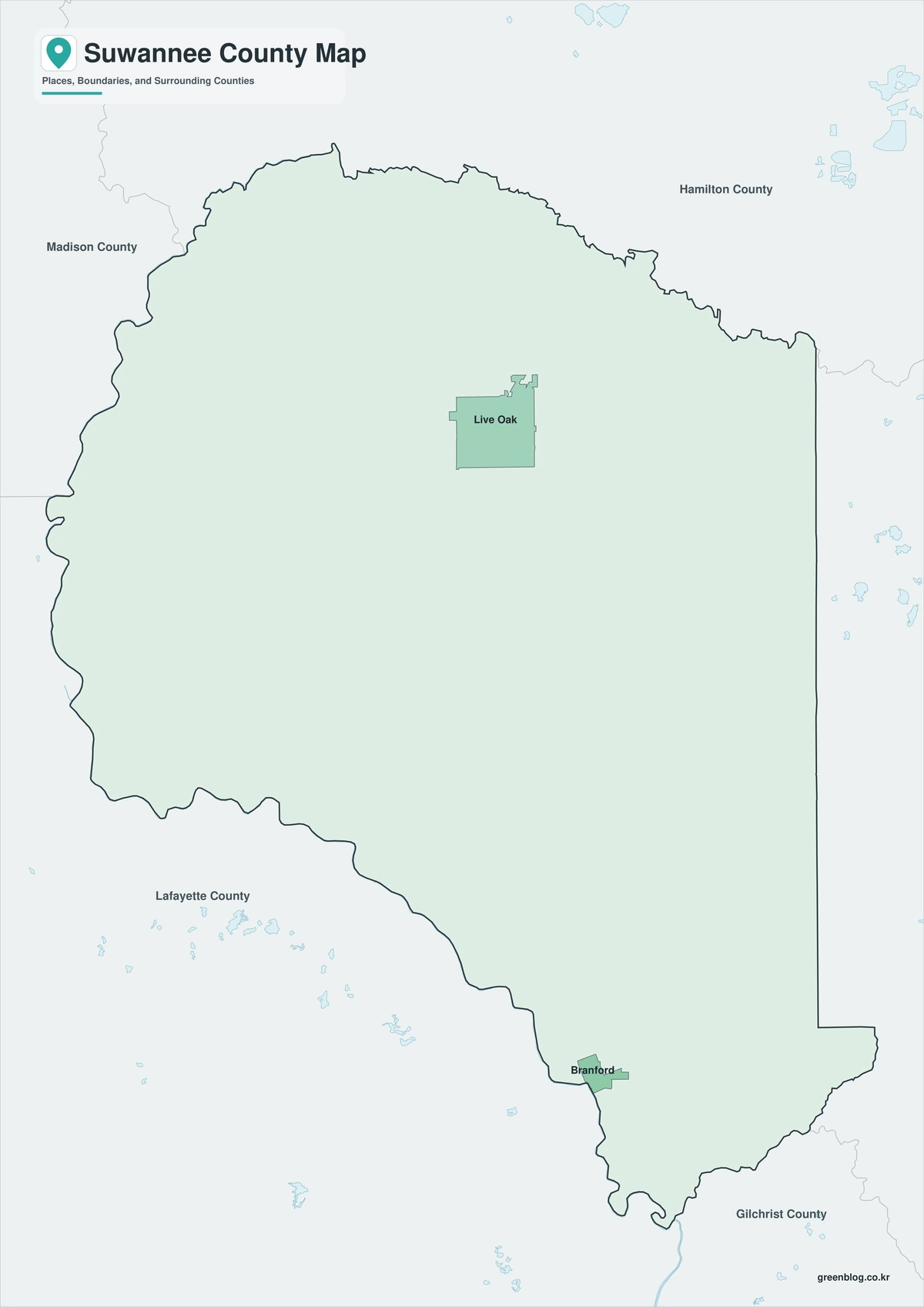
Color Map
The color version separates Suwannee County from neighboring counties and helps show Live Oak, Branford, rural communities, rivers, springs, and forest areas.
Black-and-White Map
The black-and-white map retains the county outline and selected place names for grayscale printing.
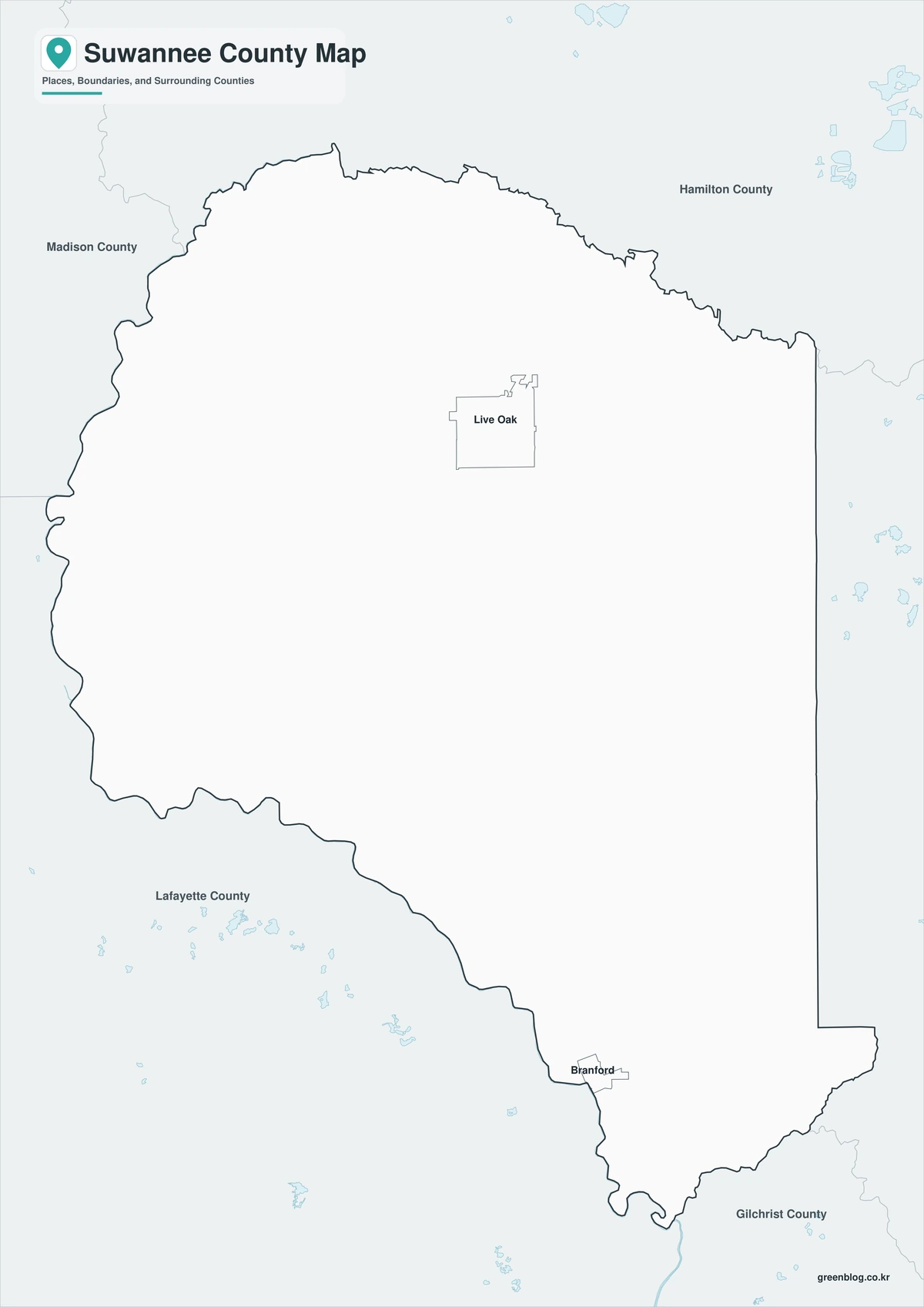
Outline Map
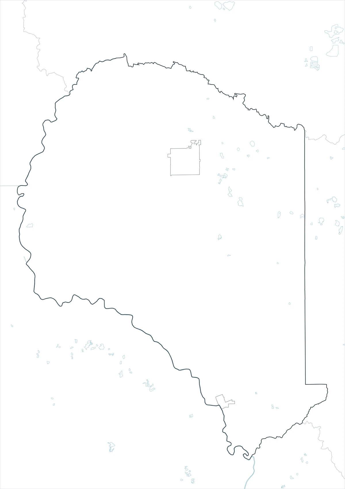
The outline version contains boundary lines without labels or fills, allowing custom notes and place names.
Download the Suwannee County Maps
The Suwannee County Florida map download contains three A3 JPG versions. Current official records should be used for legal, navigation, flood, emergency, cave-system, and property decisions.
County Map File Information
This download includes color, black-and-white, and outline maps.
- Included Versions: Color, Black and White, Outline
- File Type: JPG
- Page Size: A3
Frequently Asked Questions
What is the county seat of Suwannee County?
Live Oak is the county seat.
Which municipalities are incorporated?
Live Oak and Branford are incorporated.
Which natural features are best known?
The Suwannee River, Ichetucknee River, Santa Fe River, and natural springs are major features.
References
U.S. Census Bureau QuickFacts supplied the 2025 population estimate.
Visit Suwannee’s communities guide supplied information about Live Oak, Branford, and other communities.
Visit Suwannee’s official tourism guide supplied information about the Suwannee River and natural springs.
Related Maps
- Sumter County Florida map|Bushnell, Wildwood, The Villages, and Lake Panasoffkee
- Flagler County Florida map|Palm Coast, Bunnell, and Atlantic Beaches
- Gadsden County Florida map|Quincy, Havana, and Lake Talquin
- Glades County Florida map|Moore Haven, Lake Okeechobee, and Rural South Florida
- Hamilton County Florida map|Jasper, White Springs, and the Suwannee River
Green Map creates custom-edited map images using open geographic data sources such as geoBoundaries, Natural Earth, OpenStreetMap, and government open data.
These maps are edited visual materials, not raw data files, and are provided for education, documents, presentations, and graphic reference.