A detailed kyrgyzstan map can be surprisingly difficult to find in a format that works well for both printing and editing. Many online maps are either too small for presentation use or contain excessive detail that becomes difficult to read when enlarged. For users preparing geography lessons, travel materials, blog graphics, or regional comparison projects, a clean and high-resolution map often provides a much better visual reference.
Located in Central Asia, Kyrgyzstan shares borders with Kazakhstan, Uzbekistan, Tajikistan, and China. The country is known for its mountainous terrain, alpine lakes, and dramatic landscapes. Because much of the country consists of highland regions, understanding the relationship between provinces, major lakes, and neighboring countries becomes easier when viewed on a well-organized kyrgyzstan map.
This printable kyrgyzstan map collection includes three different versions: a color administrative map, a black and white labeled map, and an outline map designed for editing. All maps were prepared at A3 size with a resolution of 4956 × 3508 pixels and created using Adobe Illustrator and Photoshop. The capital city of Bishkek is highlighted with a star symbol, while major lakes and surrounding countries are included to provide additional geographic context.
During the map preparation process, extra attention was given to label readability and boundary clarity. The layout was reviewed at larger print sizes to ensure that province names remain visible when enlarged. Whether you need a kyrgyzstan map for classroom handouts, infographic design, travel presentations, or custom graphic projects, the collection offers multiple options for different purposes.
Table of Contents
What’s Included in the Collection?
The map package contains:
- Color administrative map
- Black and white labeled map
- Blank outline map
- A3 printable format
- High-resolution image files
- Korean and English place names
- Capital city marker
- Major lakes and neighboring countries
The collection focuses on administrative structure and geographic reference rather than terrain shading, making it useful for educational and presentation-based projects.
Color Administrative Kyrgyzstan Map
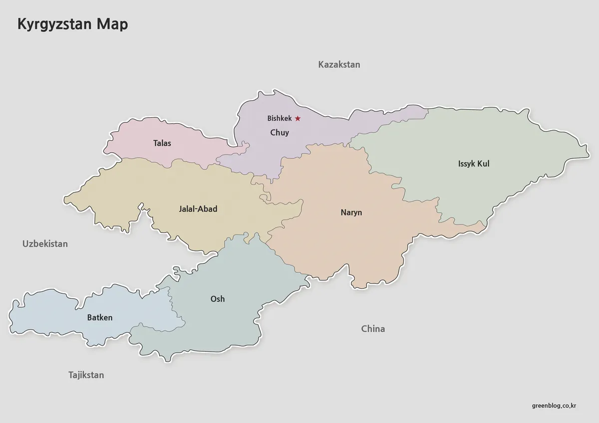
The color kyrgyzstan map is designed for situations where regional boundaries need to be recognized immediately. Each administrative region is displayed with contrasting colors to make comparisons easier, particularly when viewed on presentation screens or websites.
Province names are displayed in both Korean and English, allowing users to connect local references with international sources. Bishkek is marked with a star icon for quick identification, while major lakes are included to improve geographic understanding.
One adjustment made during production involved the Uzbek territory located within Batken Region. Rather than creating unnecessary visual complexity, the area was styled to remain identifiable while keeping the overall layout clean and easy to read.
For travel presentations, educational content, blog graphics, and regional studies, the color kyrgyzstan map often provides the clearest visual experience.
Black and White Kyrgyzstan Map for Printing
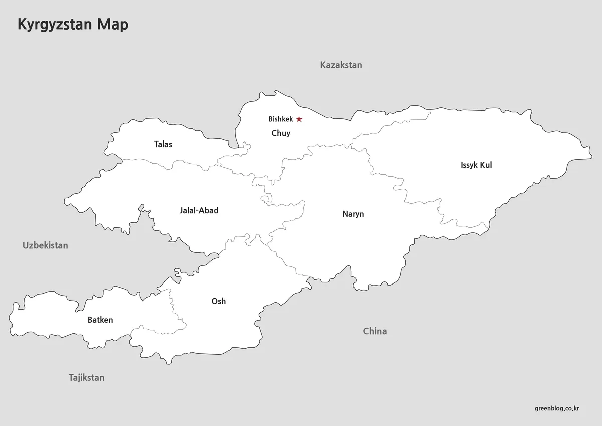
Not every project benefits from color. The black and white kyrgyzstan map removes color fills while preserving boundaries, labels, and important geographic features.
This format works especially well for:
- Geography lessons
- Classroom worksheets
- Printed reports
- Educational handouts
- Study materials
- Regional comparison exercises
Because color can sometimes reduce readability on standard printers, the layout was reviewed specifically for black and white output. Users who plan to write notes, highlight routes, or mark locations often find this version more practical.
The simplified appearance also allows the map to fit naturally into reports and documents without overwhelming surrounding text.
Editable Kyrgyzstan Outline Map
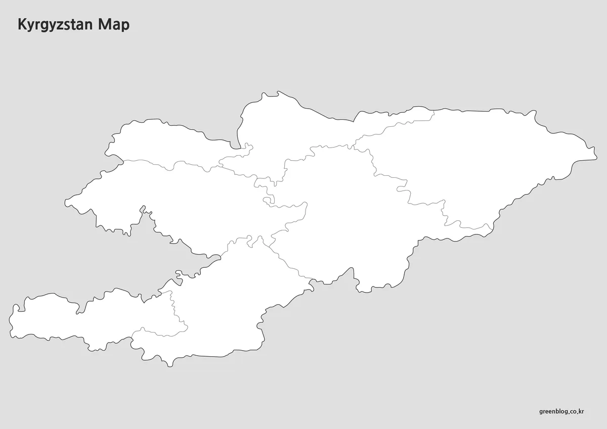
The outline kyrgyzstan map removes most labels and color elements, leaving only the essential boundary structure. This creates a flexible base for custom projects.
Graphic designers, educators, researchers, and content creators frequently need a blank map that can be modified for specific purposes. Statistical data, travel routes, educational annotations, and infographic elements can be added directly onto the map without first removing existing graphics.
Boundary lines were checked carefully during preparation to ensure that shapes remain continuous. This reduces cleanup work when importing the map into Photoshop, Illustrator, or other graphic editing software.
Built for Educational and Presentation Use
A kyrgyzstan map is useful in a variety of situations. The country’s position in Central Asia makes it a common subject in regional studies, travel content, and educational materials. Its mountainous geography and landlocked location also make visual references particularly helpful when explaining regional relationships.
Common uses include:
- Geography education
- Travel presentations
- Classroom handouts
- Blog graphics
- Infographic design
- Regional comparison materials
- Printable study resources
- Custom editing projects
Because the collection includes both labeled and editable formats, users can select the version that best matches their workflow.
Frequently Asked Questions
Can I print the Kyrgyzstan map in A3 size?
Yes. Every kyrgyzstan map in this collection was prepared for high-resolution A3 printing.
Are neighboring countries included?
Yes. Kazakhstan, Uzbekistan, Tajikistan, and China are shown to help users understand regional positioning.
Is the outline version editable?
Yes. The outline kyrgyzstan map was created specifically for editing, annotation, and custom graphic projects.
Does the map include major lakes?
Yes. Important lakes are included to provide additional geographic context.
Kyrgyzstan Map Download
Choose the version that best fits your project. Color, black and white, and outline editions are included for printing, presentations, and editing work.
- File Format: JPG
- Image Size: 4956 × 3508
- Color Mode: CMYK
- Usage: Printing · Education · Presentation · Graphic Editing
Additional Resources
- GeoNode Kyrgyzstan – Provides geographic datasets and administrative boundary resources that may be useful for users looking for additional Kyrgyzstan mapping information.
Related Maps
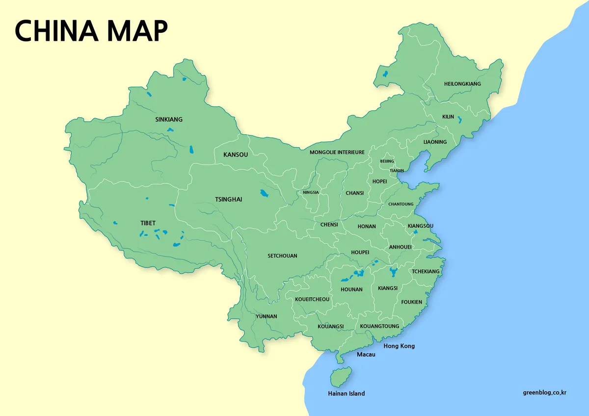
- Laos Map Download – High Resolution A3 Administrative Map Set
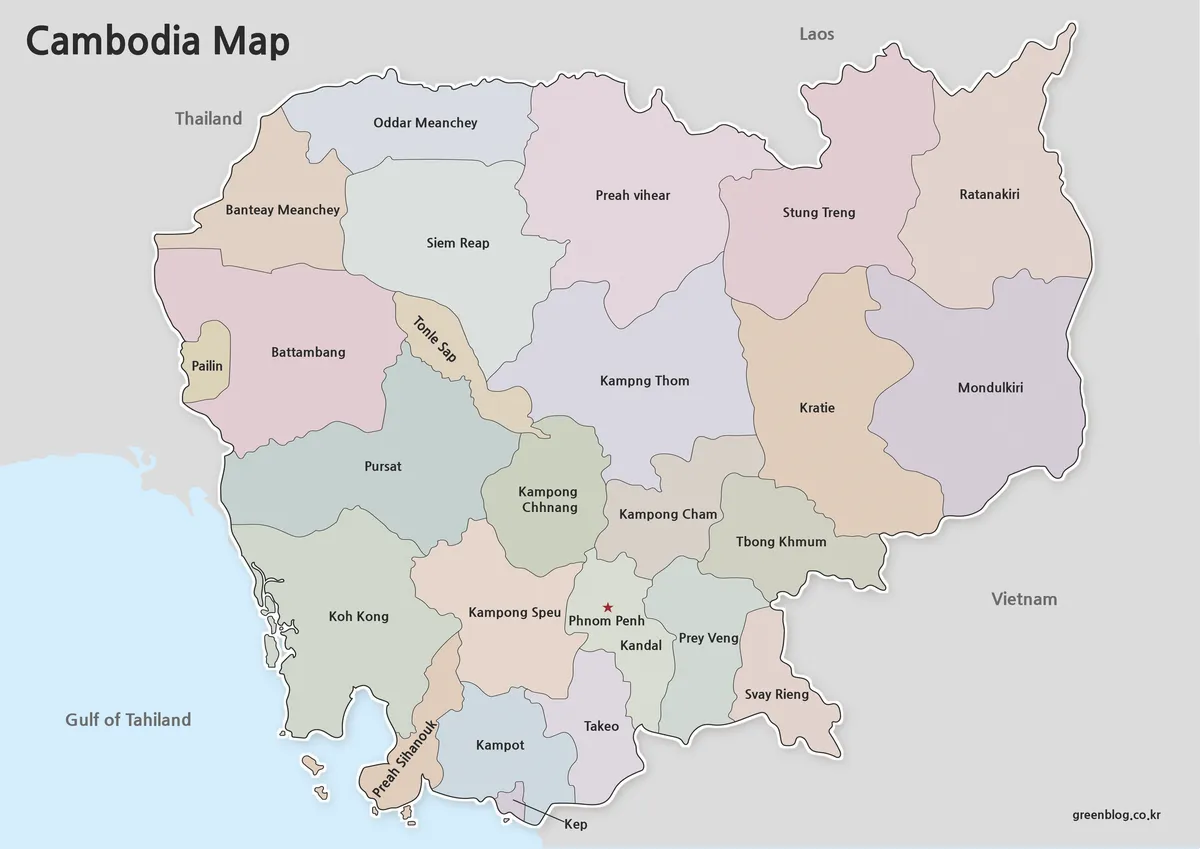
- Cambodia Map Resources – Color, Black and White, and Outline Editions
- Printable Iraq Map Download in A3 Size (Color, B&W, Outline)
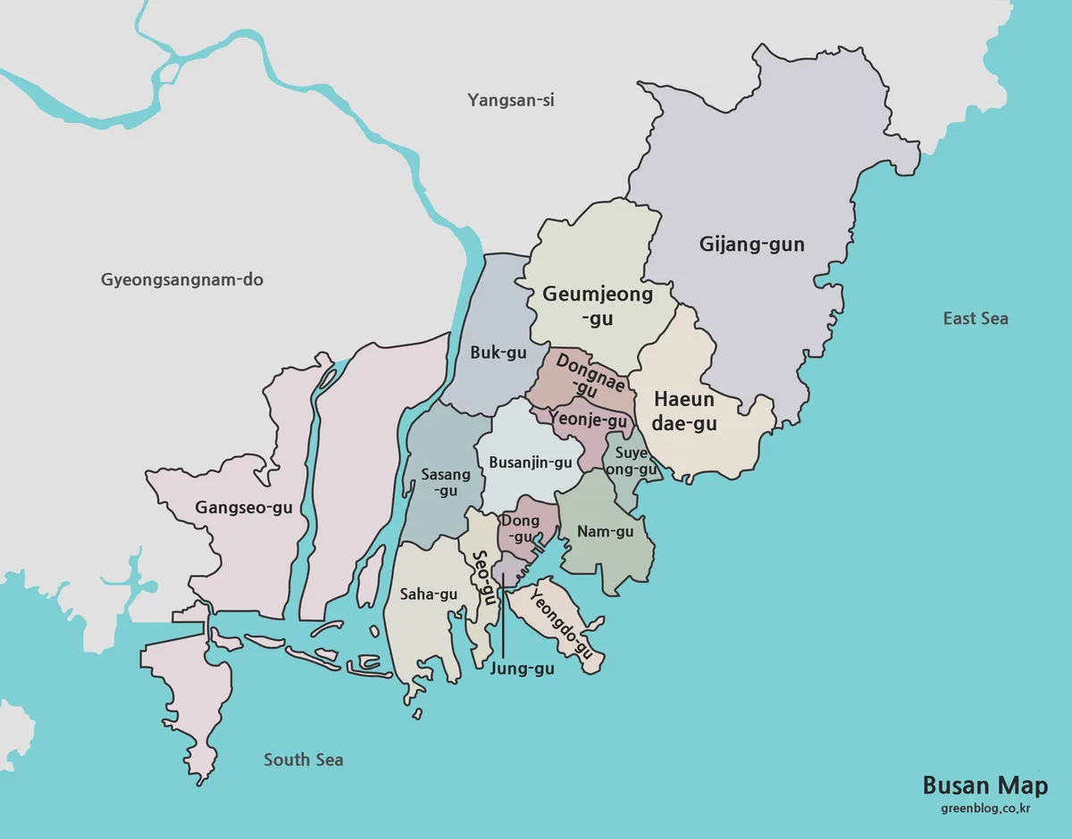
- Busan Map Collection – Printable Color, Black and White, and Outline Maps