Ireland is an island nation located west of Great Britain and is one of the most recognizable countries in Northwestern Europe. While the Republic of Ireland occupies most of the island, Northern Ireland remains part of the United Kingdom, creating a unique geographic and political layout that is often easier to understand through a well-designed map.
This printable Ireland map collection was created for students, teachers, bloggers, designers, and presentation creators who need a clear visual reference rather than a detailed road map. The collection focuses on regional boundaries, overall geography, and map readability while keeping the layout clean and easy to use.
Included in this Ireland map collection are three different versions: a color regional map, a clean basic map, and an editable outline map. Each version was prepared in high resolution and optimized for A3 printing. Whether you need a classroom handout, infographic base, presentation graphic, or editable reference map, the collection provides multiple options for different workflows.
While preparing these maps, special attention was given to coastline accuracy and regional boundaries. Ireland’s coastline contains many curves and irregular shapes, so additional time was spent reviewing the outlines to ensure they remain visually clean when enlarged. The layout was also adjusted to improve readability in both digital and printed formats.
Table of Contents
Ireland Map Overview
Country Information
- Official Name: Republic of Ireland
- Capital City: Dublin
- Location: Northwestern Europe
- Area: Approximately 70,273 km²
- Population: About 4.9 million
- Languages: Irish and English
One feature that makes an Ireland map particularly useful is the presence of Northern Ireland in the northern section of the island. To improve visual clarity, Northern Ireland is separated from the Republic of Ireland using distinct styling so users can easily identify the difference.
Map Specifications
- Size: 4961 × 3508 pixels
- Format: JPG
- Production Method: Vector-based design
- Software: Adobe Illustrator
The vector-based workflow helped maintain clean boundaries and sharp lines even when the map is enlarged or printed.
Regional Color Map
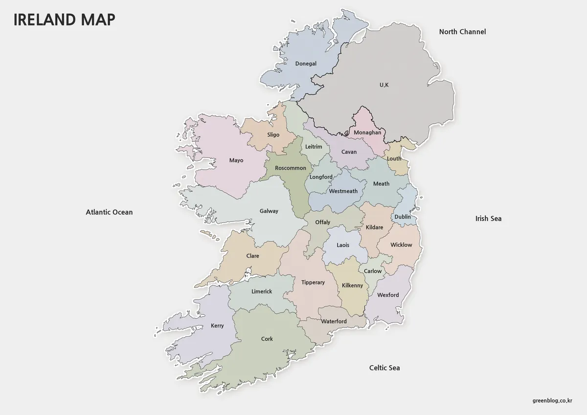
The color version was created to make regional divisions easy to identify at a glance. During production, reference materials and satellite-based mapping resources were reviewed to ensure that the coastline and overall shape closely matched the real-world layout.
Region names are displayed in both Korean and English, making the map useful for domestic and international reference materials. Boundaries remain fully connected, allowing users to easily recolor specific areas in Photoshop or Illustrator without repairing line segments.
Northern Ireland is highlighted using a red dotted boundary and a small UK label to distinguish it from the Republic of Ireland. Regional colors were selected to improve contrast while maintaining readability.
Ideal for:
- Geography lessons
- Educational presentations
- Blog graphics
- Country overview content
- Regional comparison projects
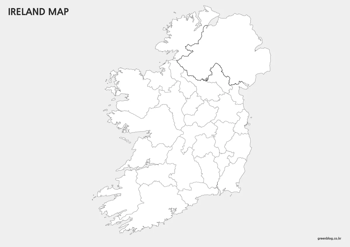
Basic Printable Map
Color maps are useful on screen, but printed documents often benefit from a cleaner layout. The basic version removes color while preserving labels and regional boundaries, resulting in a practical reference map for paper-based use.
Because there are no strong background colors, labels remain easy to read and additional notes can be added directly to the map. This format is particularly useful for educational worksheets, printed handouts, and meeting materials.
During the preparation process, the coastline was carefully reviewed to prevent broken line segments, helping maintain visual quality when enlarged.
Recommended for:
- Classroom printing
- Study materials
- Educational worksheets
- Travel planning notes
- Reference documents
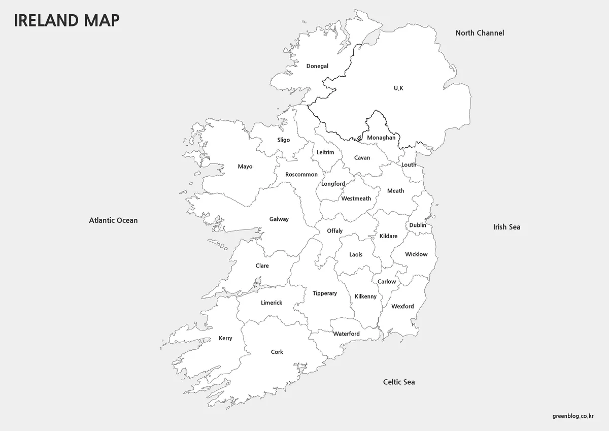
Outline Map for Editing
The outline version removes colors and text, leaving only the regional boundary structure. This simplified design provides maximum flexibility for customization and graphic editing.
Because only the essential lines remain, the map works well as a foundation for infographics, presentations, and visual data projects. Users can add custom labels, colors, icons, and statistical information without competing with existing design elements.
The clean structure also makes it easier to highlight individual regions or create customized educational resources.
Best suited for:
- Graphic design projects
- Editable presentations
- Infographic creation
- Educational resources
- Regional highlighting
Practical Uses
This Ireland map collection can be useful in a variety of situations:
- Comparing Ireland with other European countries
- Creating travel-related presentations
- Building educational worksheets
- Designing infographic projects
- Producing blog graphics and visual references
- Highlighting specific regions for research or discussion
The color map is useful for explaining regional divisions, the basic map works well for printing, and the outline version offers the most flexibility for editing and customization.
Frequently Asked Questions
What was simplified in the map design?
Roads, facilities, and highly detailed geographic elements were removed so regional boundaries and overall structure remain easy to understand.
Can I print the map at A3 size?
Yes. The maps were designed at A3 dimensions and reviewed for readability when printed.
Can I edit the colors or labels?
Yes. The basic and outline versions were prepared with editing in mind and work well for custom projects.
Ireland Map Download
The Ireland map files are available through the link below. Choose the version you need, including the color map, black and white map, or outline map, and save it for your project.
- File Format: JPG / PNG / ZIP
- Usage: Printing · Education · Presentation · Editing
- Size: High-Resolution A3 Format
The files are provided in ZIP format. After downloading, extract the archive to access all map versions.
Related Maps
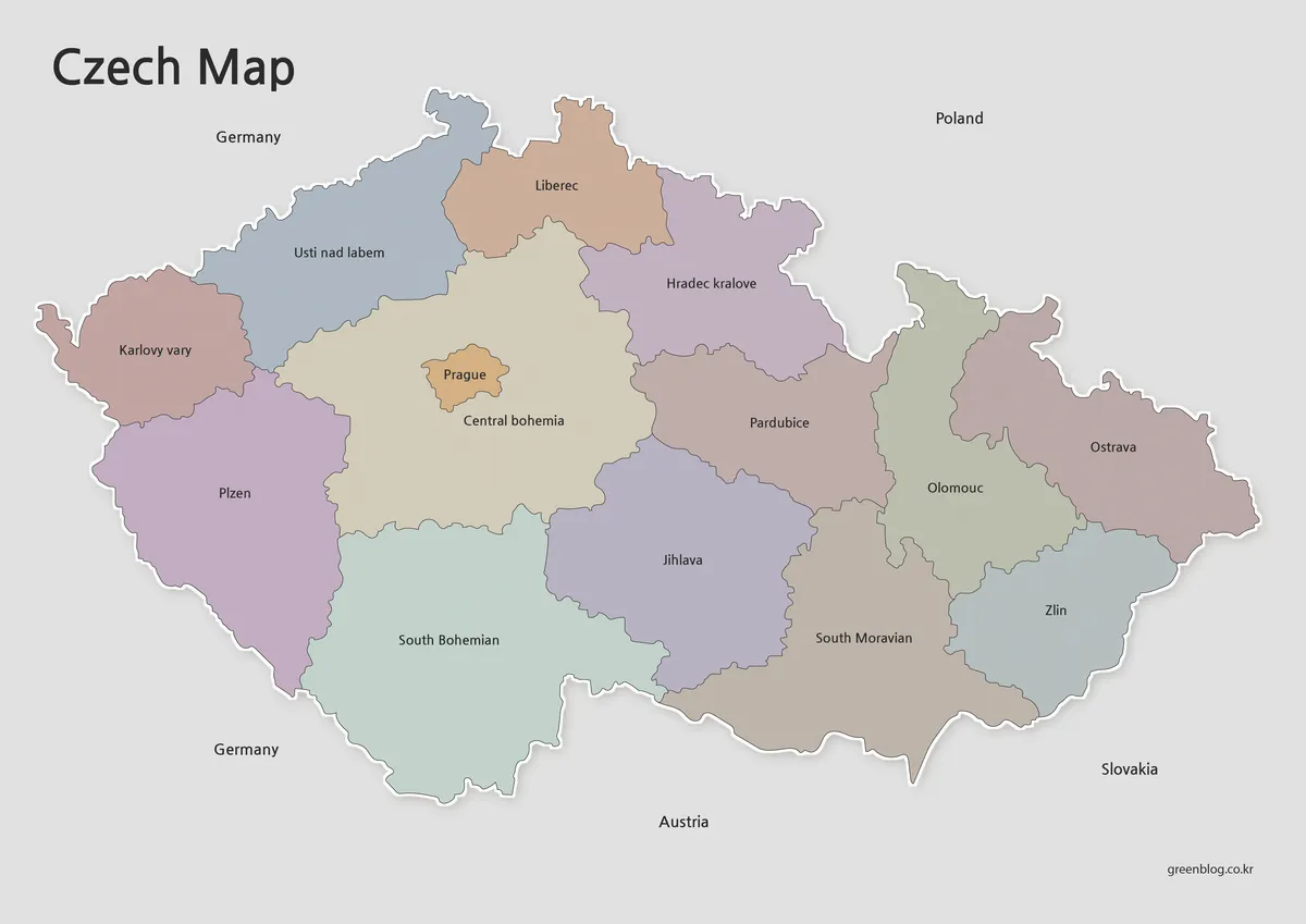
- Poland Map Download – Labeled, Printable and Editable Map Pack
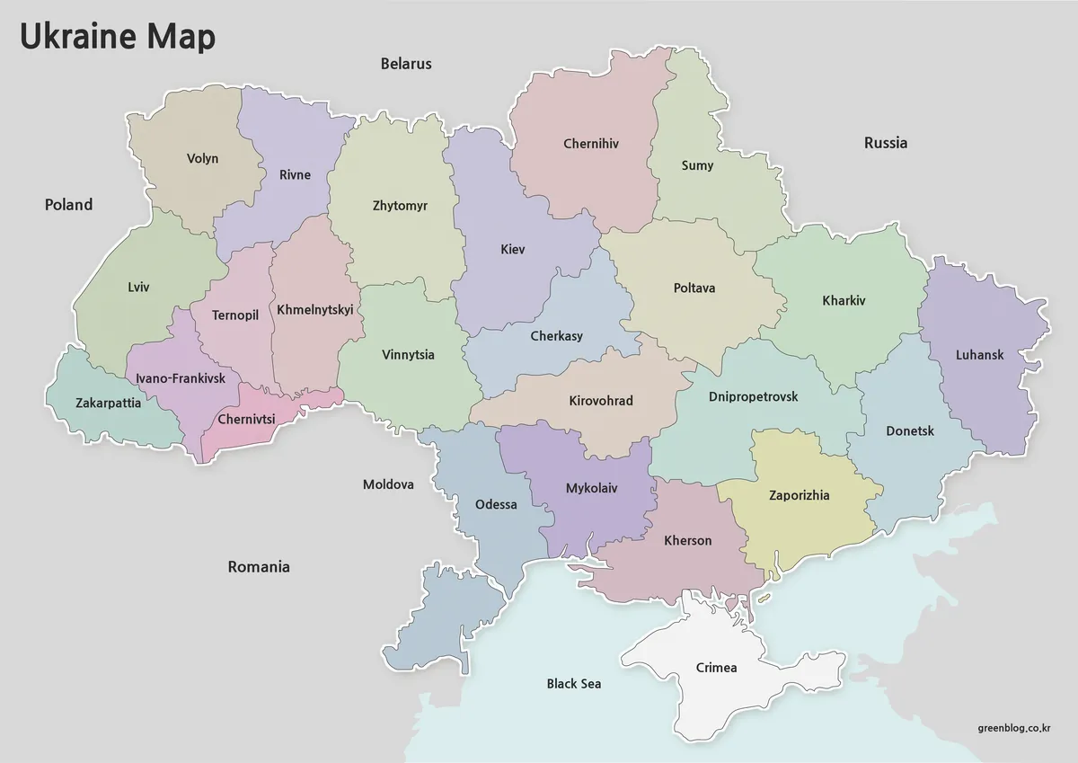
- Free Ukraine Map Collection for Printing and Editing
- Sweden Map Collection – Printable Color, Black and White, and Outline Maps
- Finland Map Collection – Printable Color, Black and White & Outline Maps
Additional Resources
- GeoHive – Ireland’s National Geospatial Data Hub – Official Irish geospatial data portal providing interactive maps and geographic information for Ireland.