
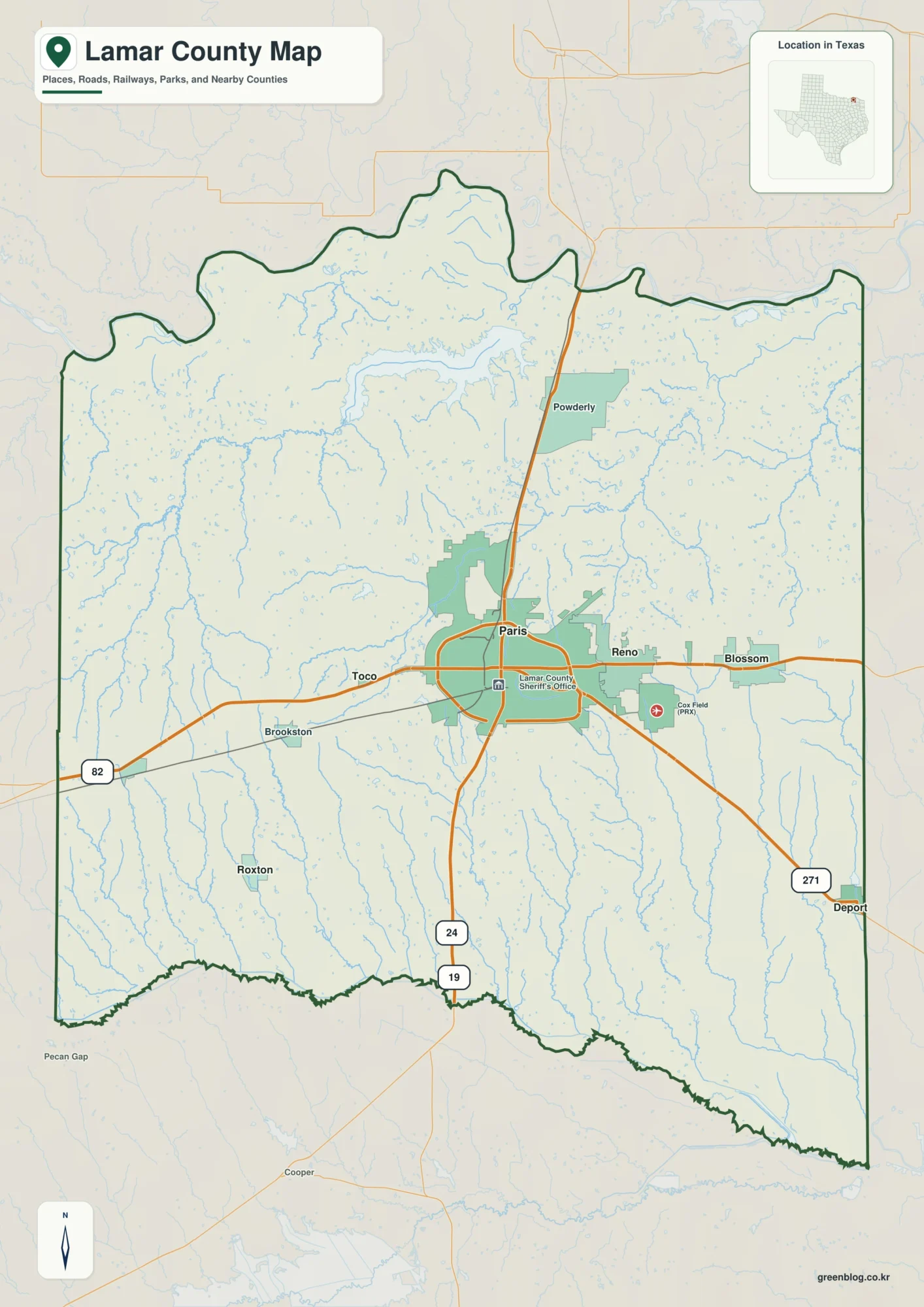
Paris and the Red River on a Lamar County Texas Map
You can download four high-resolution A3 JPG maps of Lamar County, Texas, in one ZIP from this page. The set […]
Paris and the Red River on a Lamar County Texas Map Read More »
You can download four high-resolution A3 JPG maps of Lamar County, Texas, in one ZIP from this page. The set […]
Paris and the Red River on a Lamar County Texas Map Read More »
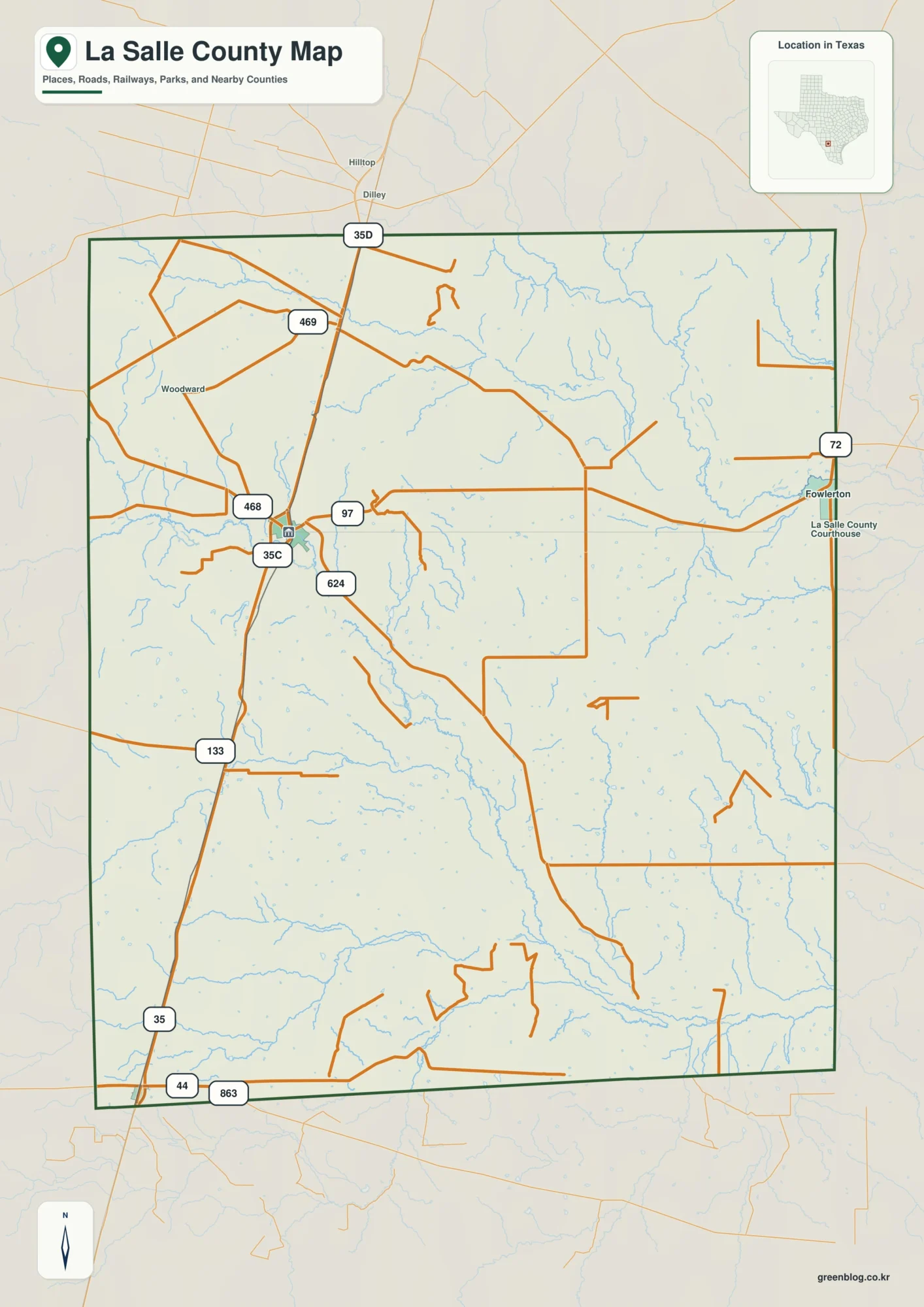
You can download four high-resolution A3 JPG maps of La Salle County in one ZIP directly from this page. The
From Cotulla to the Nueces River: A La Salle County Map Read More »
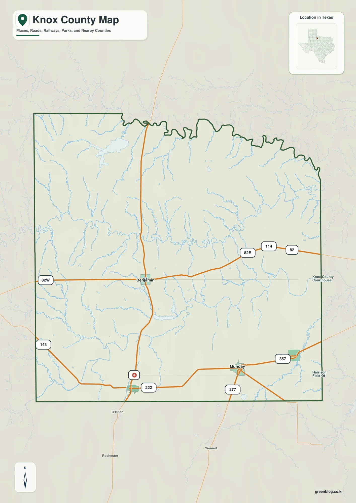
You can download four high-resolution A3 JPG maps of Knox County, Texas in one ZIP directly from this page. The
Knox County Texas Map– Munday, Wichita Rivers, and Western High Ground Read More »
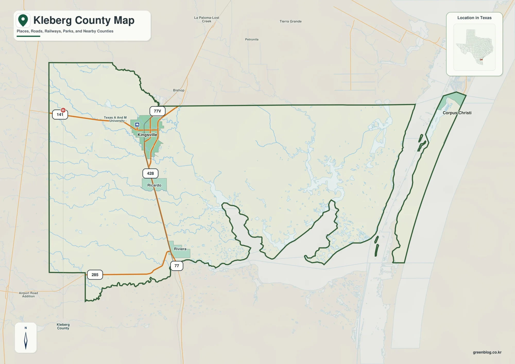
You can download four high-resolution A3 JPG maps of Kleberg County in one ZIP directly from this page. Use Kingsville
A Kleberg County Map of U.S. 77, Kingsville, and Laguna Madre Read More »
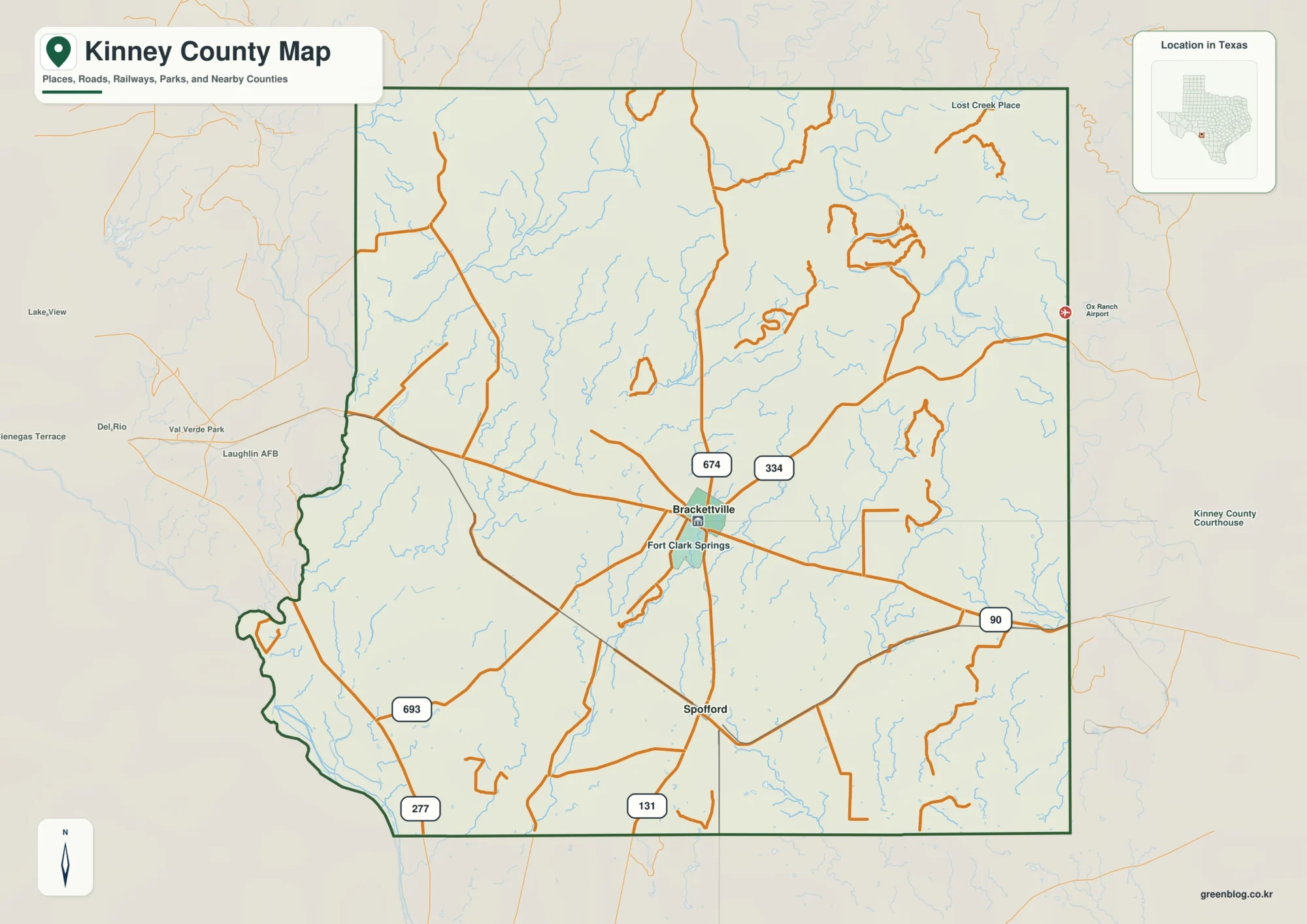
Kinney County in southwest Texas is easiest to understand when its roads, settlements, streams, and terrain are viewed together rather
Kinney County Map: Brackettville, U.S. 90, Creeks and Elevation Read More »
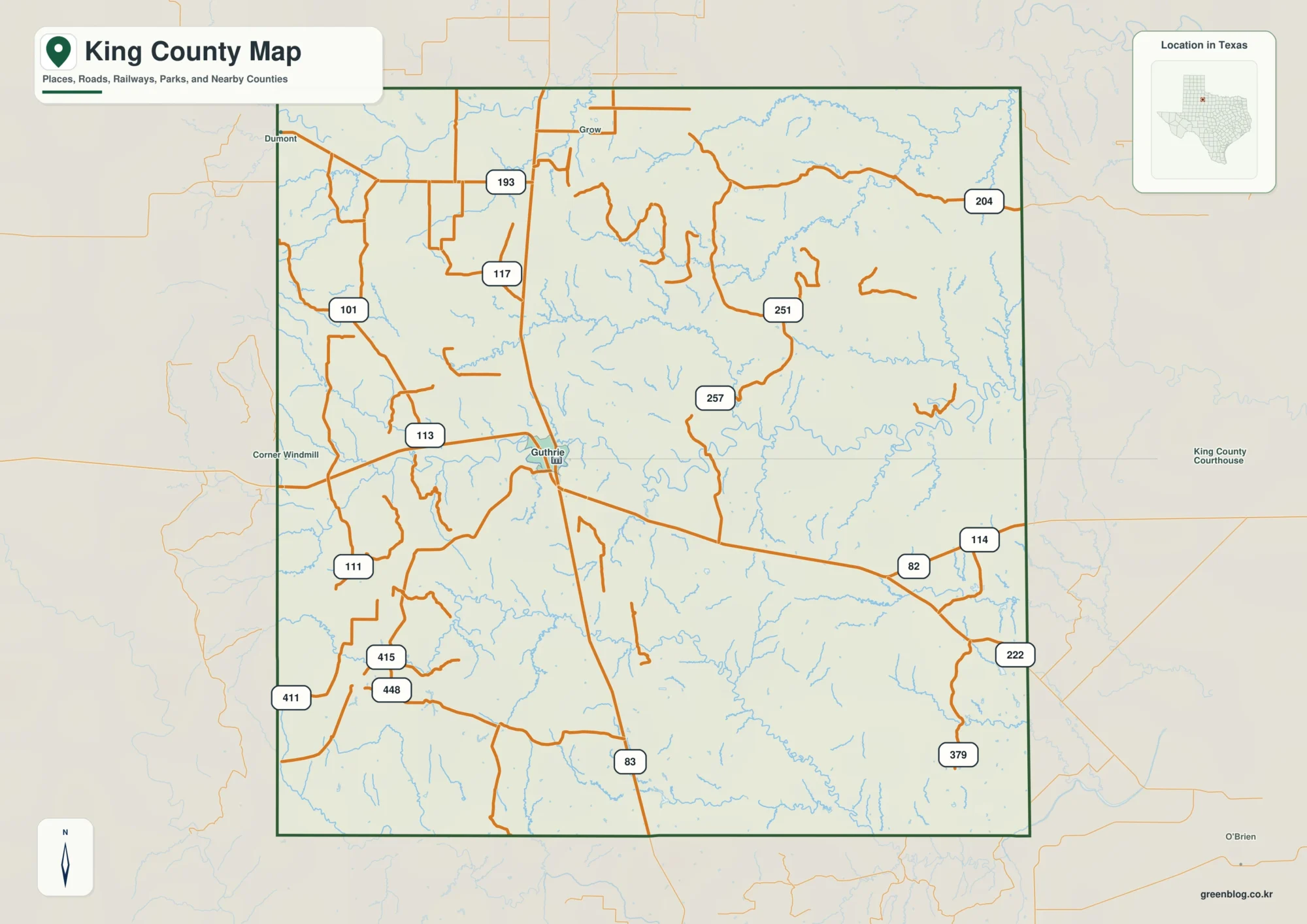
King County is easier to understand when the map is read from Guthrie outward rather than as a list of
Guthrie and the Wichita River Branches on a King County Texas Map Read More »
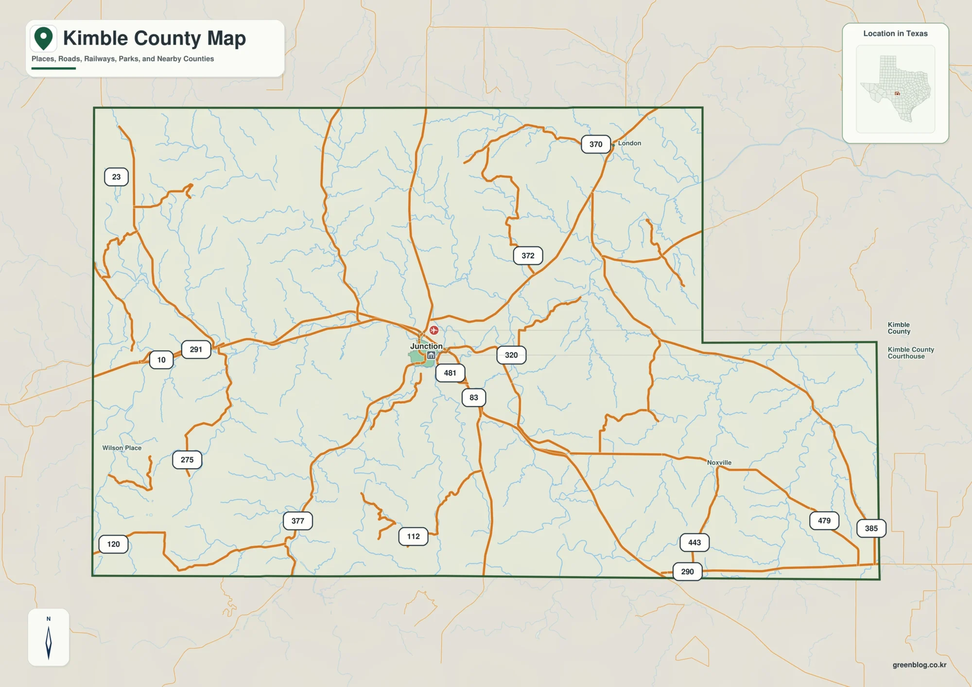
Kimble County is easiest to understand when Junction is used as the starting point. The county map shows Interstate 10
Kimble County Map of Texas: Junction, Llano River Forks, and Hill Country Relief Read More »
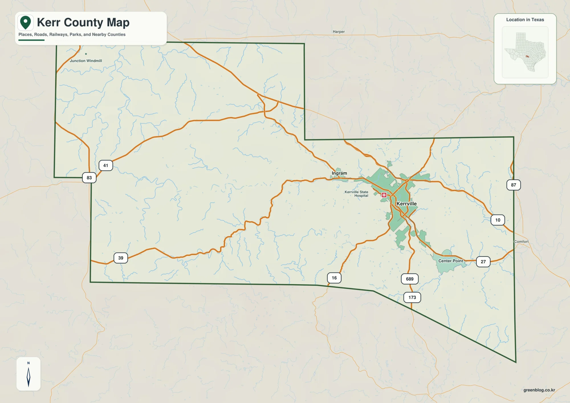
Kerr County is easiest to understand by starting at Kerrville and then looking west toward Ingram, south and east toward
Kerr County Map for Kerrville, Guadalupe River and Hill Country Relief Read More »
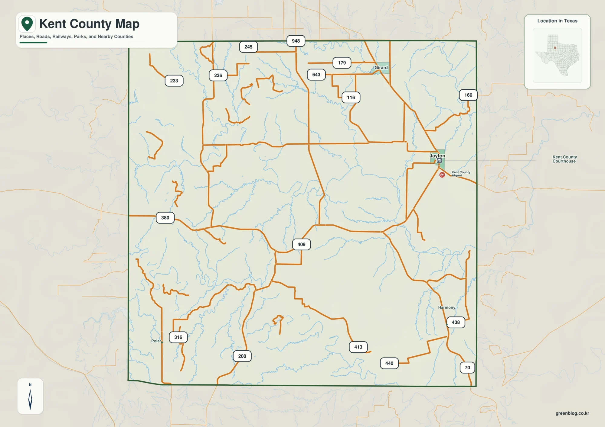
Kent County, Texas becomes much easier to understand once Jayton is used as a reference point rather than treated as
Kent County Texas Map– Jayton Between the Brazos Forks and Rolling Relief Read More »