
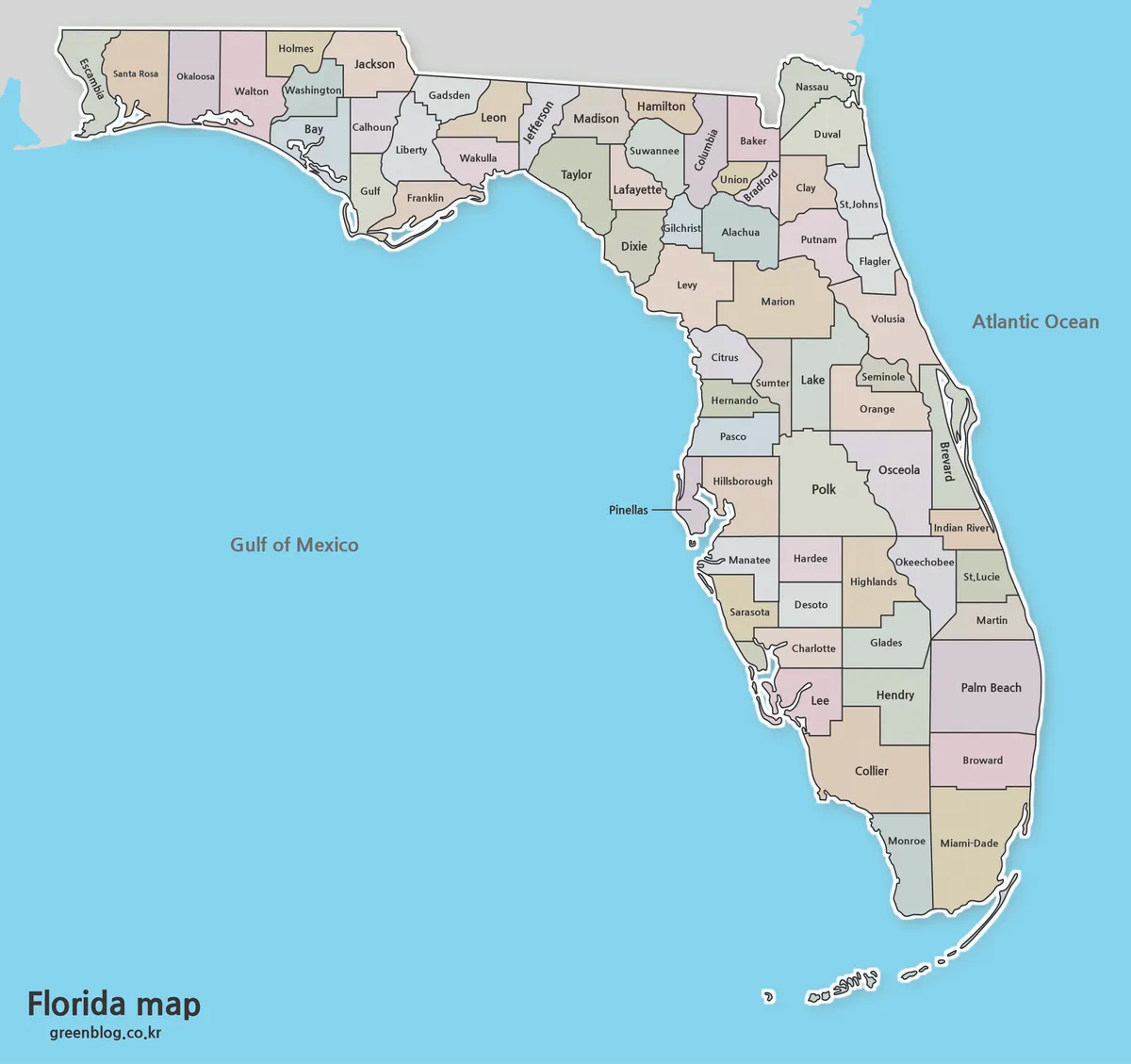
Free Florida Map Download – High Resolution Printable Maps
A Florida map is useful when you need to explain the layout of one of the most recognizable states in […]
Free Florida Map Download – High Resolution Printable Maps Read More »
A Florida map is useful when you need to explain the layout of one of the most recognizable states in […]
Free Florida Map Download – High Resolution Printable Maps Read More »
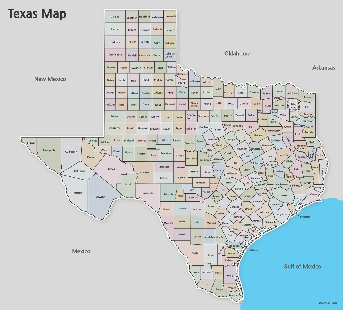
A Texas map is useful whenever you need to explain the scale, location, or regional structure of one of the
Free Printable Texas Map Set for Education, Presentations and Editing Read More »

Jamaica is one of the most recognizable island nations in the Caribbean, located south of Cuba and west of Haiti.
Jamaica Map Download Pack for Printing, Education and Design Projects Read More »

A detailed kyrgyzstan map can be surprisingly difficult to find in a format that works well for both printing and
Printable Kyrgyzstan Map Resource for Education, Travel, and Design Read More »
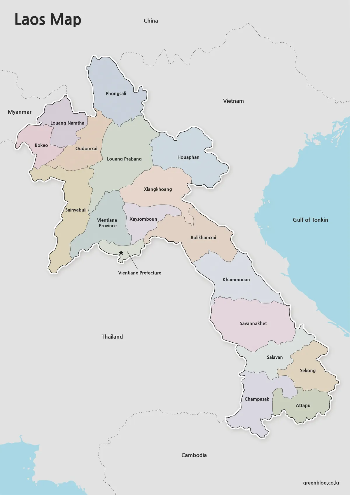
A detailed laos map is often one of the most useful visual resources for understanding mainland Southeast Asia. Laos sits
Laos Map Download – High Resolution A3 Administrative Map Set Read More »
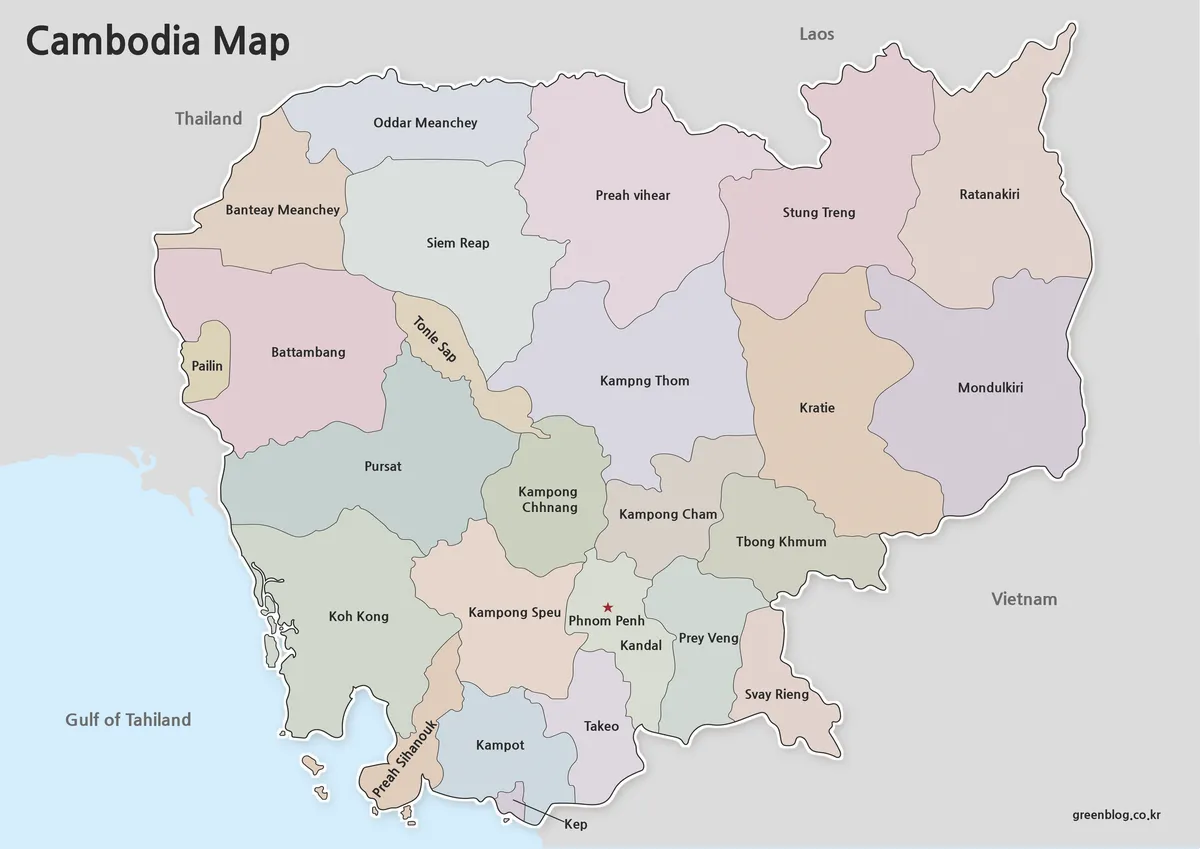
Cambodia is one of the most recognizable countries in mainland Southeast Asia, located between Thailand and Vietnam and bordering Laos
Cambodia Map Resources – Color, Black and White, and Outline Editions Read More »
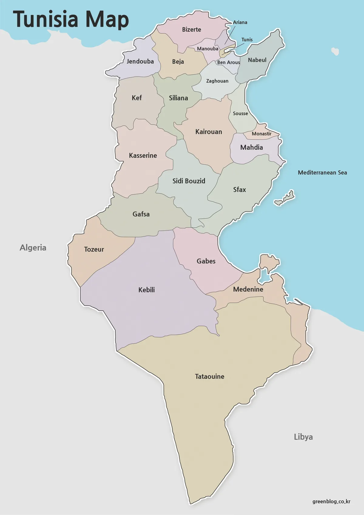
A printable Tunisia map can be useful in more situations than many people expect. Whether you are preparing a classroom
Tunisia Map Download – Printable Color, Black and White, and Outline Maps Read More »
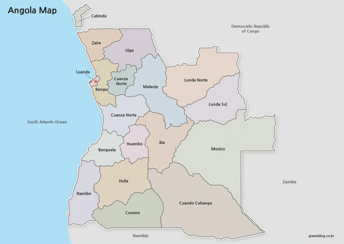
Angola is located on the southwestern coast of Africa, bordered by the Democratic Republic of the Congo, Zambia, and Namibia
Printable Angola Map Set for Classroom, Presentation and Editing Projects Read More »
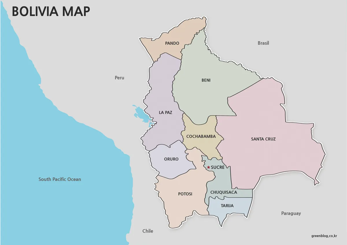
Bolivia occupies a central position in South America and shares borders with Brazil, Argentina, Paraguay, Chile, and Peru. Although it
Printable Bolivia Map Set – High-Resolution Maps for Education and Design Read More »