Durazno Map with Municipal Boundaries and Nearby Departmen
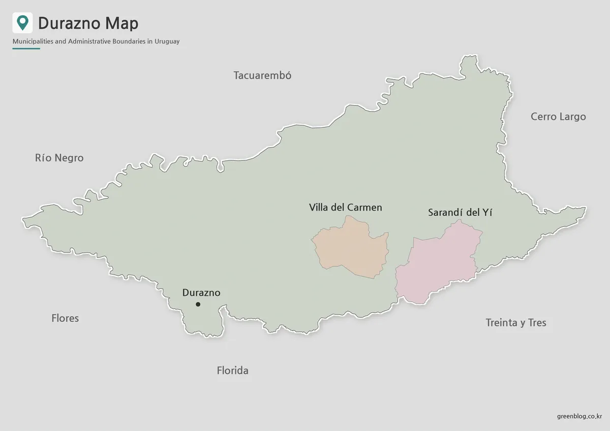
The Durazno Map in this collection is designed to make the department’s central position in Uruguay easier to understand. Durazno […]
Durazno Map with Municipal Boundaries and Nearby Departmen Read More »