
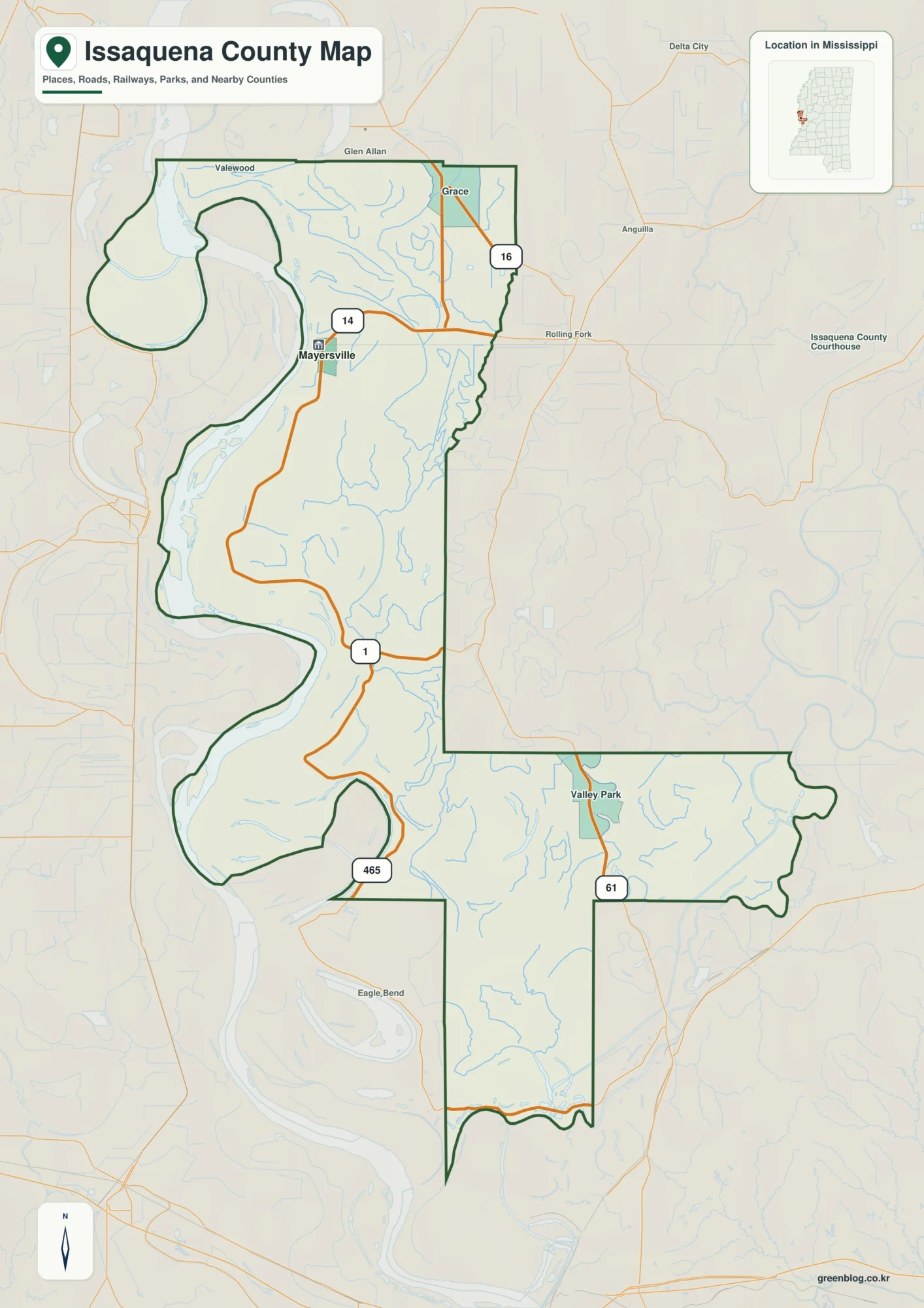
Mayersville and Mississippi River Bends | Issaquena County Map
Issaquena County is a place where the shape of the Mississippi River matters more on a map than a dense
Mayersville and Mississippi River Bends | Issaquena County Map Read More »
Issaquena County is a place where the shape of the Mississippi River matters more on a map than a dense
Mayersville and Mississippi River Bends | Issaquena County Map Read More »
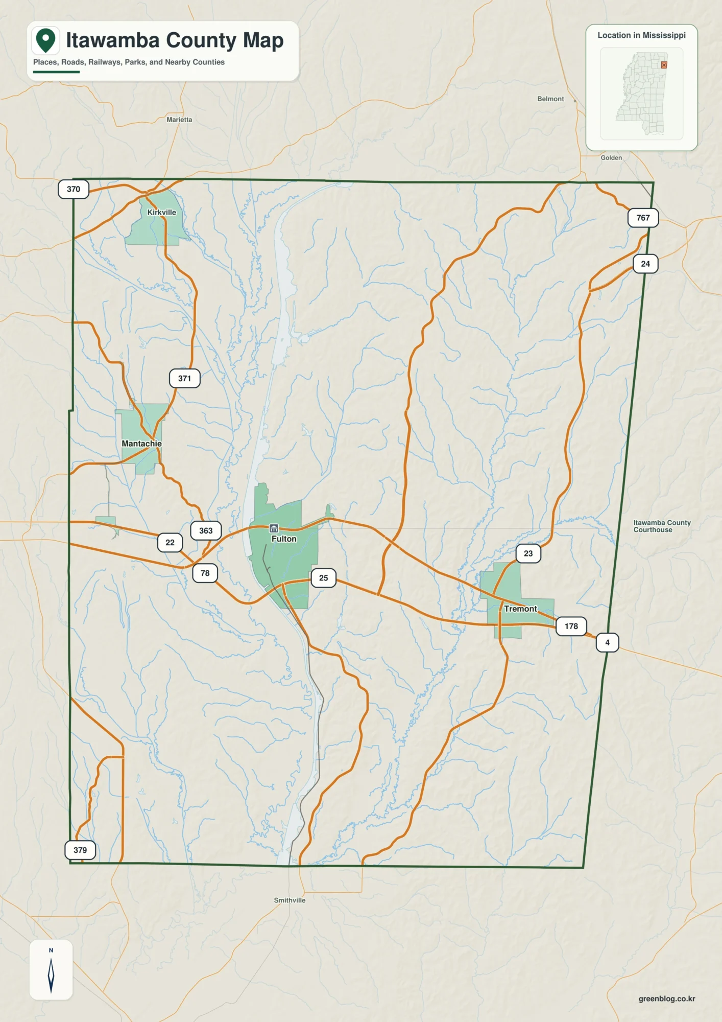
Itawamba County in northeastern Mississippi is organized around Fulton, with Mantachie to the northwest and Tremont to the east. A
Itawamba County Map – Fulton Roads, Waterway Pools, and East-Side Hills Read More »
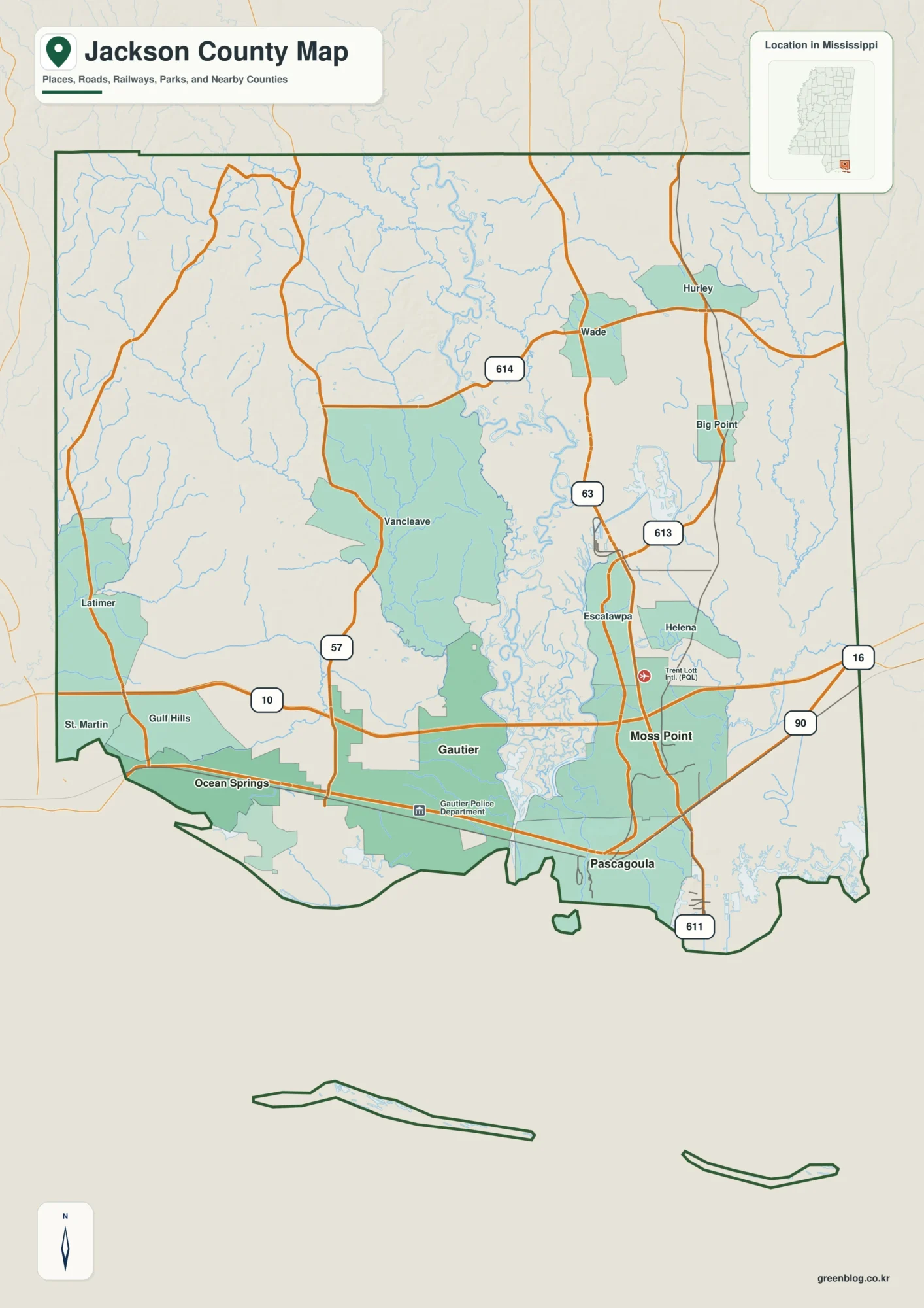
Jackson County stretches from the Mississippi Sound and a chain of coastal communities far into the inland river country of
Pascagoula River and Gulf Coast Cities | Jackson County Mississippi Map Read More »
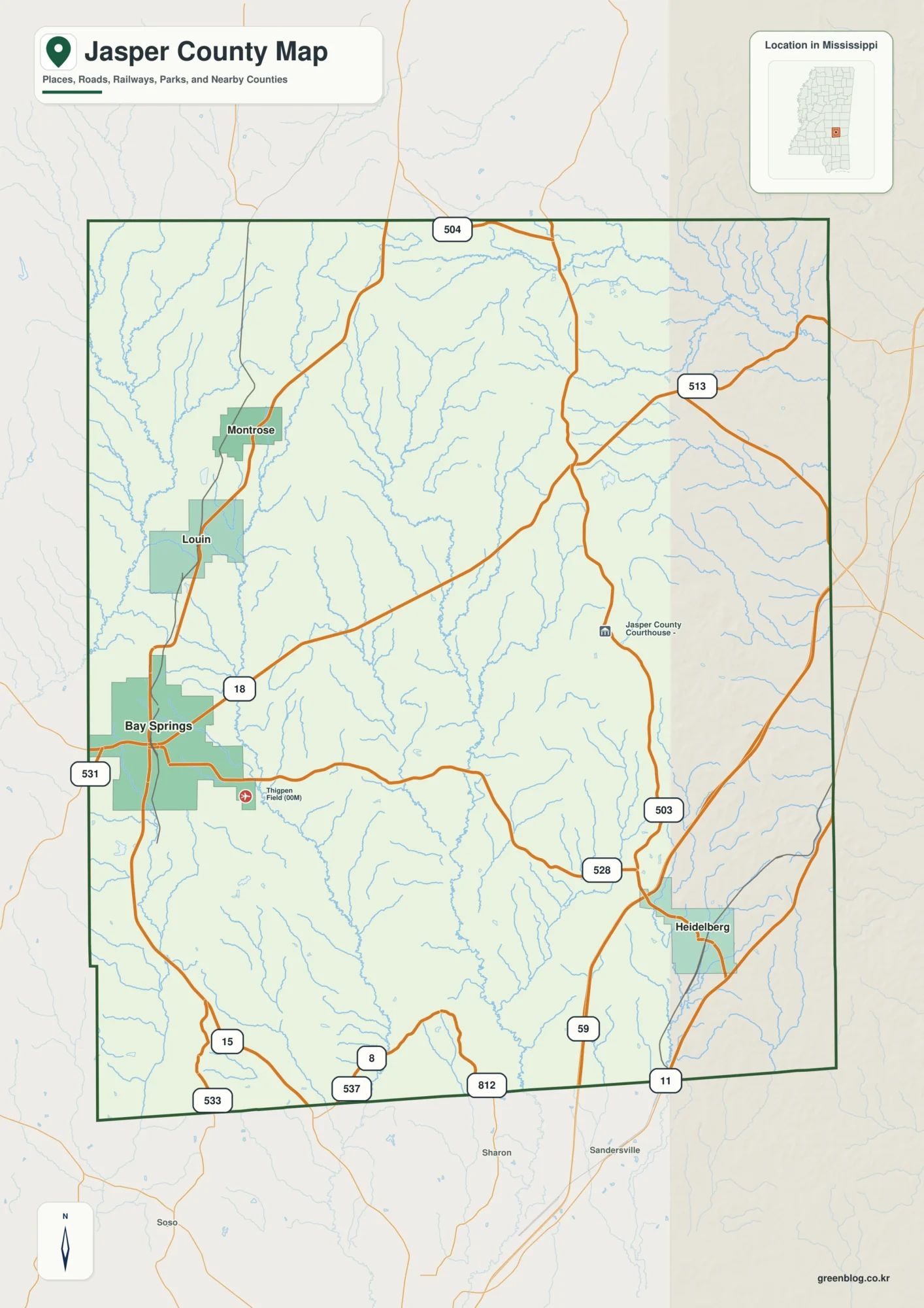
You can download the Jasper County Mississippi Map as a high-resolution JPG ZIP directly from this page. Bay Springs anchors
Jasper County Mississippi Map – Bay Springs, Tallahala Creek, and 76–208 m Relief Read More »
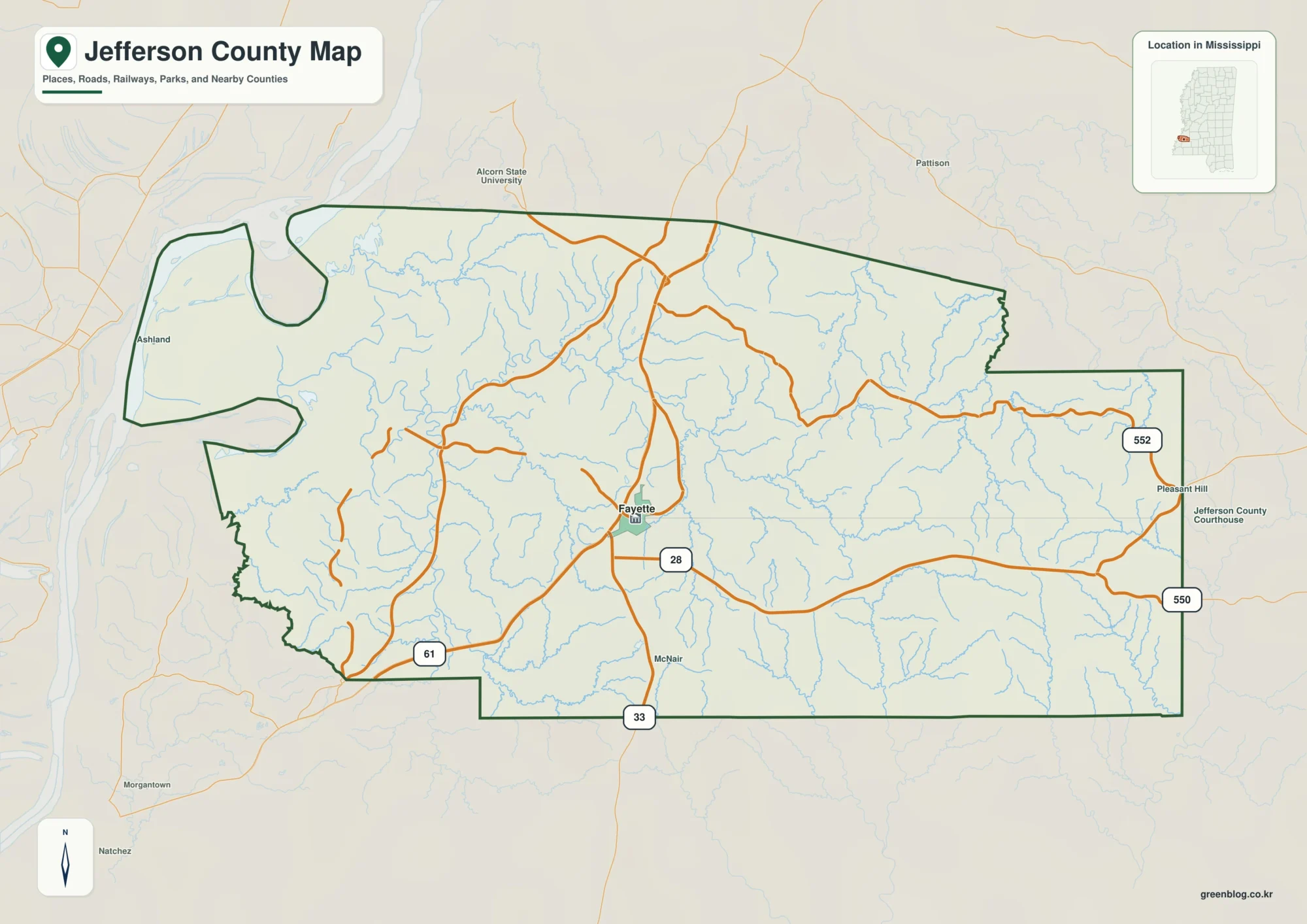
Jefferson County in southwestern Mississippi is easiest to understand by starting with Fayette and then looking west toward the Mississippi
Roads, River Lowlands, and Uplands on the Jefferson County Mississippi Map Read More »
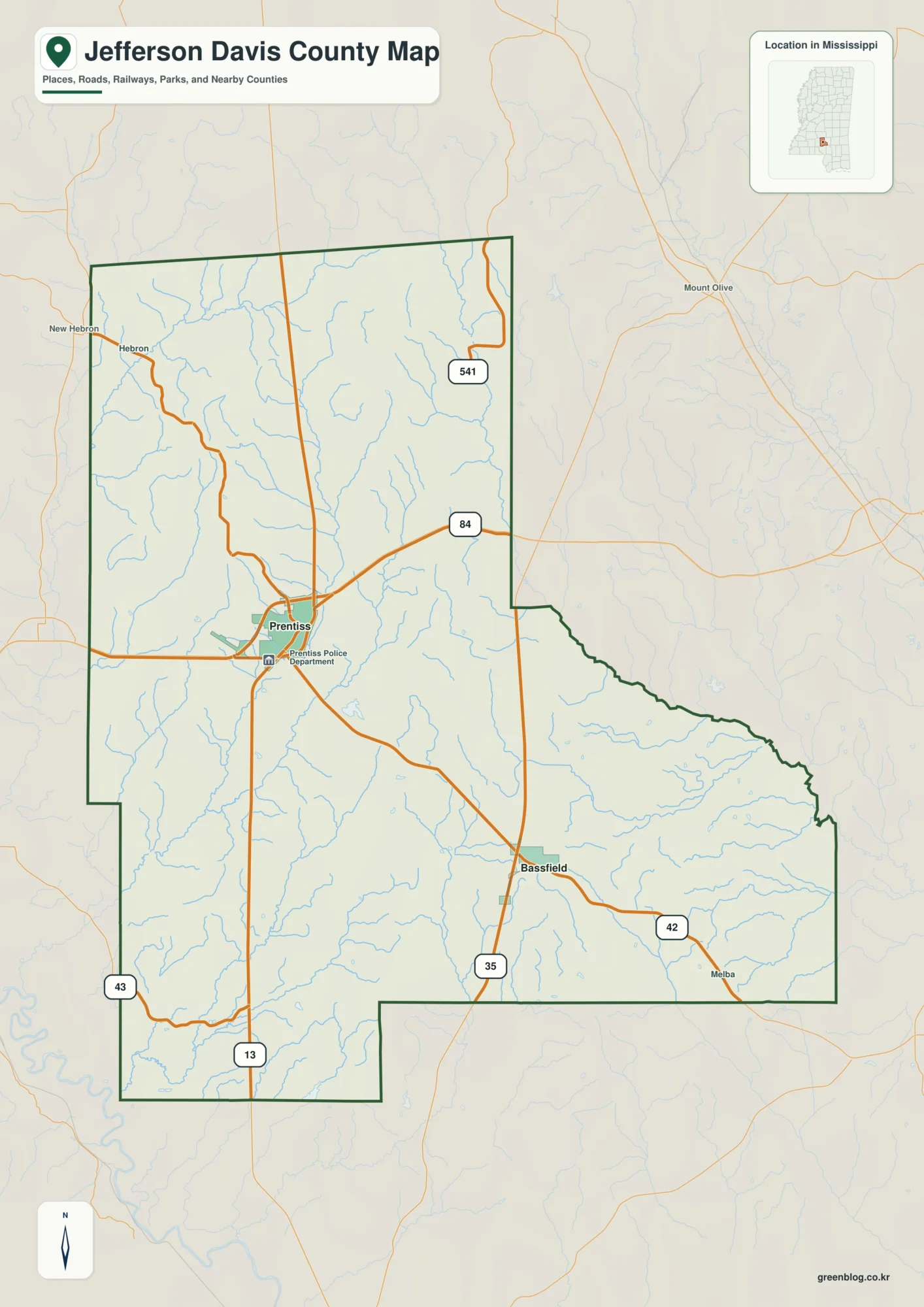
Jefferson Davis County sits in south-central Mississippi, where Prentiss and Bassfield provide the clearest town references within a mostly rural
Jefferson Davis County Map– US 84, Creek Valleys, and Rolling Relief Read More »
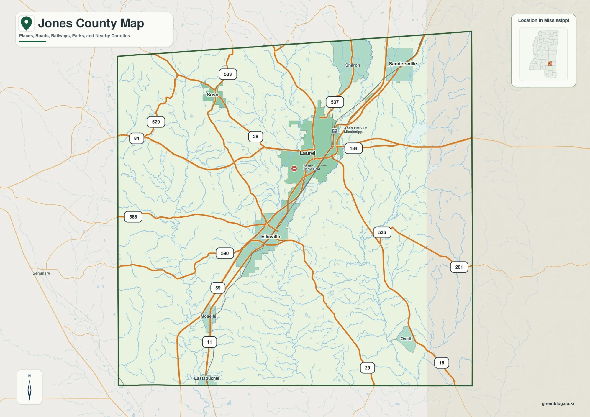
Jones County is easiest to understand by starting with the north-south relationship between Laurel and Ellisville. Laurel sits farther north
Jones County Mississippi Map – Laurel Roads, Leaf River, and Creek Valleys Read More »
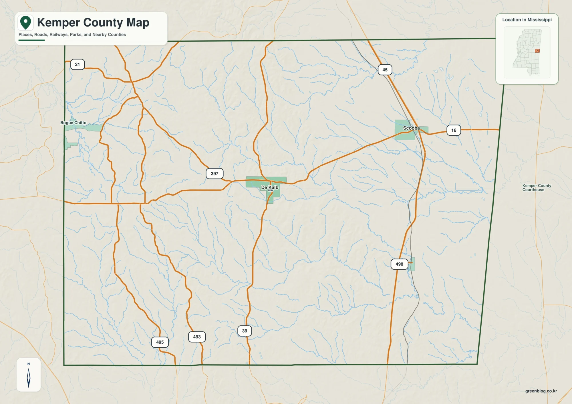
The Kemper County Map is most useful when it is read through a few clear reference points rather than as
Kemper County Map: De Kalb, Scooba, Creek Valleys, and Rolling Relief Read More »
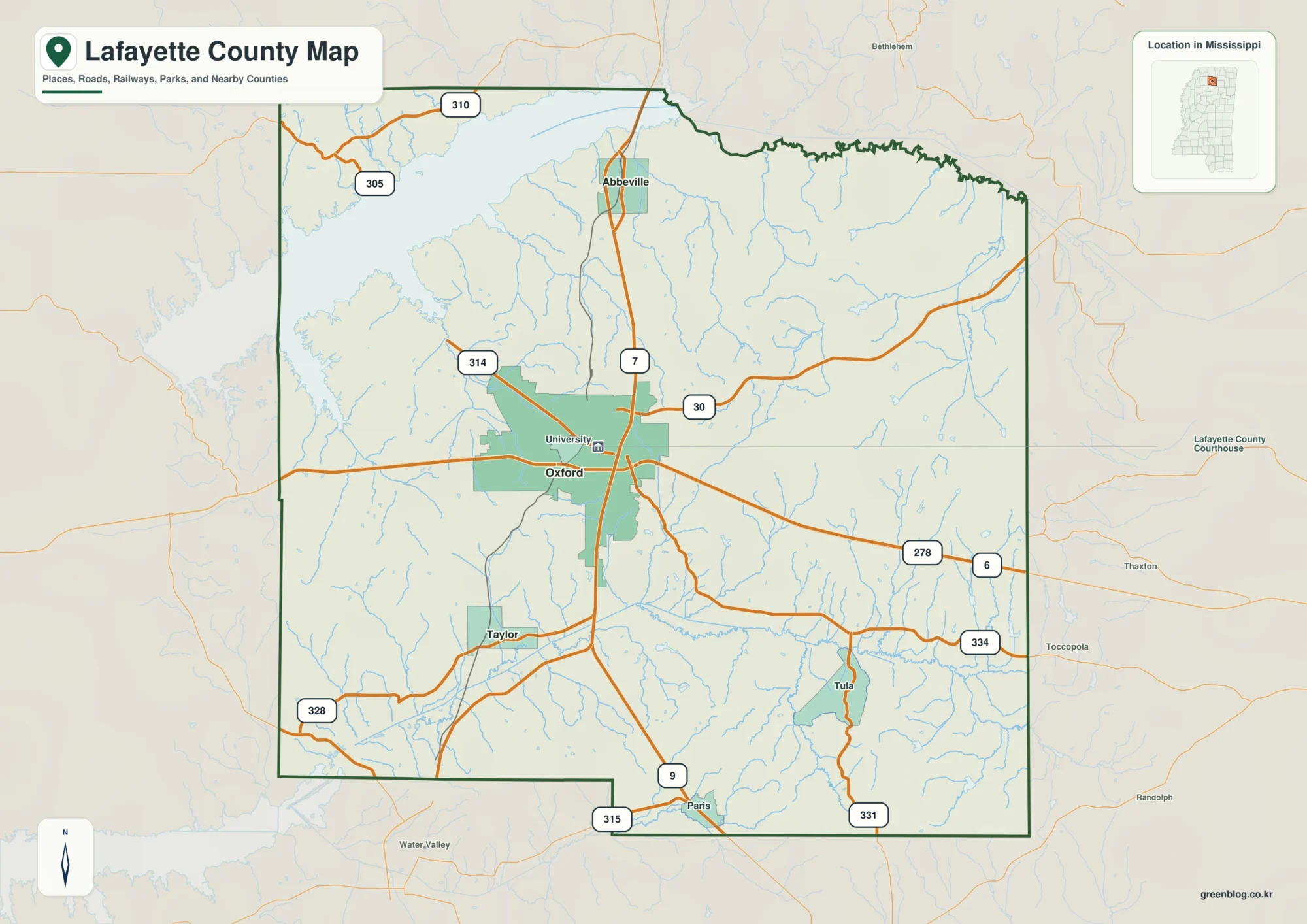
Lafayette County in northern Mississippi is easiest to understand from three anchors that appear clearly on the supplied maps: Oxford
Oxford Roads, Sardis Lake, and the Lafayette County Mississippi Map Read More »